Old Maps of Morris, Minnesota for Academic Research
Study the evolution of Morris with 11 high-resolution historic maps. Whether you're teaching, researching, or modeling changes in land use, these maps provide essential visual documentation of urban, environmental, and geographic change.
- Analyze long-term change: Track patterns in development, transportation, and natural features.
- Ideal for environmental or urban studies: Support academic projects with primary historical map data.
- Use in the classroom or lab: Educators and researchers rely on these maps to bring historical context to life.
These maps are a powerful tool for teaching, research, and visualizing how Morris has changed over the decades.
Morris, MN maps
(11)- 1912 Map of Morris
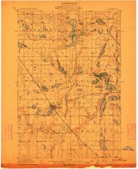 1912 Morris1912 Print · USGSThe rail hub of Morris and the surrounding Stevens County prairie are captured here at the height of the steam era. Genealogists and historians can trace dozens of early rural schoolhouses, the North Star Mill, and pioneer worship sites like Scandia Church.3 unique versions available
 - 1953 Map of Saint Cloud, 1968 Print
 1953 Saint Cloud1968 Print · USGSCentral Minnesota's lake country and the Mississippi River valley are caught in a period of steady mid-century growth. Researchers can trace historic rail lines, old granite works, and local landmarks like St. Johns University, Camp Ripley, and the shores of Lake Minnewaska.3 unique versions available
 - 1957 Map of Saint Cloud
 1957 Saint Cloud1957 Print · USGSCentral Minnesota's lake country and rail corridors are meticulously detailed in the mid-1950s. Genealogists and researchers can trace the growth of towns like Alexandria, Willmar, and Saint Cloud along the Great Northern railroad line.
 - 1958 Map of Saint Cloud
 1958 Saint Cloud1958 Print · USGSCentral Minnesota in the mid-1950s shows a landscape of growing regional hubs and hundreds of glacial lakes connected by an extensive rail network. Genealogists and historians can trace the early footprints of Saint Cloud, Alexandria, and Willmar along the Great Northern Railway.
 - 1973 Map of Morris, 1975 Print
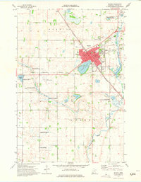 1973 Morris1975 Print · USGSThe Stevens County seat in the early 1970s is a hub of education and conservation. Genealogists and historians can trace the town's core from the University of Minnesota at Morris to Summit Cem and the Pomme de Terre River.2 unique versions available
 - 1986 Map of Lake Minnewaska
 1986 Lake Minnewaska1986 Print · USGSWest-central Minnesota's lake country is captured here in the mid-eighties, showing a landscape of intense glacial activity and growing regional hubs. Genealogists and researchers can trace the rail lines of the Soo Line and Burlington Northern through towns like Glenwood, Starbuck, and Osakis.2 unique versions available
 - 2010 Map of Morris, 2010 Print
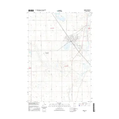
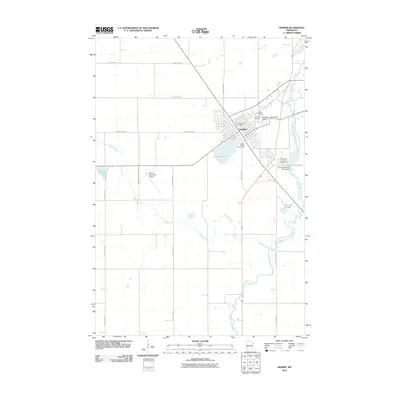 2010 Morris2010 Print · USGSCovers Morris, including Stevens County, United States, and other nearby areas
 - 2013 Map of Morris, 2013 Print
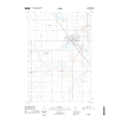
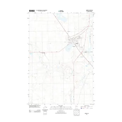 2013 Morris2013 Print · USGSCovers Morris, including Stevens County, United States, and other nearby areas
 - 2016 Map of Morris, 2016 Print
 2016 Morris2016 Print · USGSCovers Morris, including Stevens County, United States, and other nearby areas
 - 2019 Map of Morris, 2019 Print
 2019 Morris2019 Print · USGSCovers Morris, including Stevens County, United States, and other nearby areas
 - 2022 Map of Morris, 2022 Print
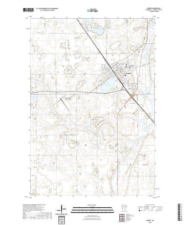 2022 Morris2022 Print · USGSThe Stevens County seat at Morris thrives as a center for education and law in the early twenty-first century. Genealogists and local historians can trace the town's development through landmarks like the University of Minnesota Morris and Summit Cem.
End of results
Showing maps 1-11 of 11
Top cities near Morris
- Hancock historical maps
- Herman historical maps
- Cyrus historical maps
- Kensington historical maps
- Donnelly historical maps
- Clontarf historical maps
See more
Frequently asked questions
- What are the different types of historical maps available for Morris?
- What is the oldest map of Morris?
- Where can I purchase historical maps of Morris for my home or office?
- Where can I download high-res historical maps of Morris?
- Are there historical topographic maps available for Morris?
- Is there historical aerial imagery available for Morris?
- Where are historical maps of Morris sourced from?