Old Maps of Clarissa, Minnesota for Hiking & Exploration
Hike through history with 17 historic maps of Clarissa. Explore old trails, ghost towns, and forgotten backroads — perfect for outdoor adventurers and local explorers.
- Rediscover forgotten places: Map out old mining camps, roads, and footpaths that no longer exist on modern maps.
- Layer with modern tools: Combine with LiDAR or satellite views to plan hikes through historical terrain.
- Made for exploration: Popular among hikers, overlanders, and local history lovers.
Use these maps to find adventure and explore the hidden past of Clarissa.
Clarissa, MN maps
(17)- 1953 Map of Brainerd, 1966 Print
 1953 Brainerd1966 Print · USGSCentral Minnesota's lake country and iron ranges are detailed in the mid-fifties, showing the intersection of industry and wilderness. Researchers can locate specific local landmarks like the Crow Wing County Courthouse or trace the early paths of the Soo Line Railroad and the Cuyuna Range Iron Mines.3 unique versions available
 - 1957 Map of Brainerd
 1957 Brainerd1957 Print · USGSNorth-central Minnesota's lake-rich landscape is captured in the mid-1950s as a crossroads of rail, river, and forest. Genealogists and historians can trace the paths of the Great Northern and Soo Line railroads through hubs like Brainerd, Wadena, and Detroit Lakes.
 - 1958 Map of Brainerd
 1958 Brainerd1958 Print · USGSCentral Minnesota in the late fifties is a landscape of dense lake chains, rail hubs, and sprawling state forests. Genealogists and local historians can trace old property alignments near the Mississippi River or locate family sites in Brainerd, Little Falls, and Detroit Lakes.
 - 1965 Map of Brainerd
 1965 Brainerd1965 Print · USGSNorth-central Minnesota in the mid-fifties presents a complex landscape of sprawling lake systems and established rail corridors. Genealogists and historians can trace the growth of timber towns along the Northern Pacific RR and explore early borders of the White Earth Indian Reservation or Tamarac National Wildlife Refuge.
 - 1966 Map of Clarissa, 1967 Print
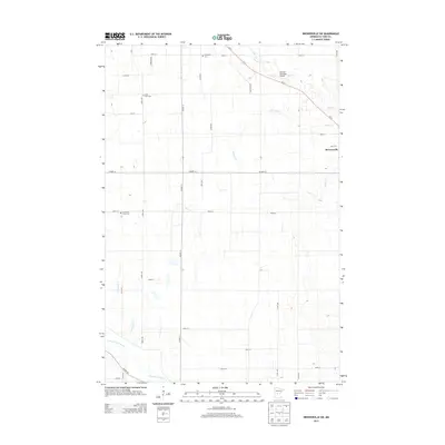
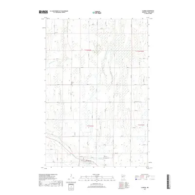
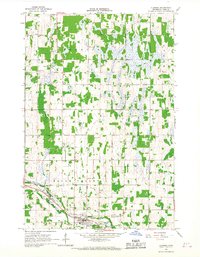 1966 Clarissa1967 Print · USGSTodd County farm country comes to life in the mid-sixties, centered on the rail-linked village of Clarissa. Genealogists and local historians can locate rural landmarks including School No 2365, Zoar Cem, and the Great Northern railroad tracks.
 - 1966 Map of Browerville SW, 1967 Print
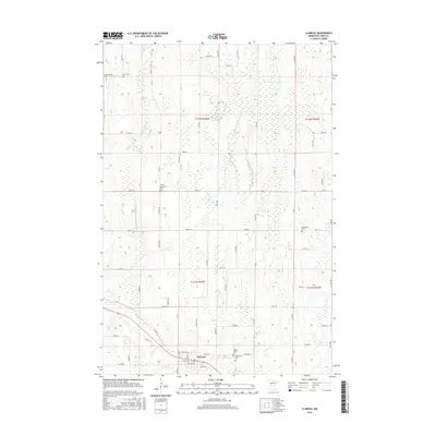
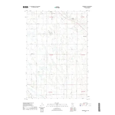
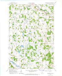 1966 Browerville SW1967 Print · USGSTodd County farm country and wetlands are captured here in the mid-sixties as small-town life centered on the Great Northern rail line. Researchers can locate several rural landmarks including Evergreen Cem, School No 2321, and the Clarissa Municipal Airfield.
 - 1986 Map of Brainerd
 1986 Brainerd1986 Print · USGSCentral Minnesota's lake country and river junctions are captured here in the mid-1980s. Genealogists and historians can trace the Burlington Northern line through Staples or locate family sites near Brainerd State Hospital and Gull Lake.2 unique versions available
 - 2010 Map of Browerville SW, 2010 Print
 2010 Browerville SW2010 Print · USGSCovers Clarissa, including Browerville, Todd County, and other nearby areas
 - 2010 Map of Clarissa, 2010 Print
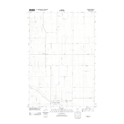
 2010 Clarissa2010 Print · USGSCovers Clarissa, including Todd County, United States, and other nearby areas
 - 2013 Map of Browerville SW, 2013 Print
 2013 Browerville SW2013 Print · USGSCovers Clarissa, including Browerville, Todd County, and other nearby areas
 - 2013 Map of Clarissa, 2013 Print
 2013 Clarissa2013 Print · USGSCovers Clarissa, including Todd County, United States, and other nearby areas
 - 2016 Map of Clarissa, 2016 Print
 2016 Clarissa2016 Print · USGSCovers Clarissa, including Todd County, United States, and other nearby areas
 - 2016 Map of Browerville SW, 2016 Print
 2016 Browerville SW2016 Print · USGSCovers Clarissa, including Browerville, Todd County, and other nearby areas
 - 2019 Map of Browerville SW, 2019 Print
 2019 Browerville SW2019 Print · USGSCovers Clarissa, including Browerville, Todd County, and other nearby areas
 - 2019 Map of Clarissa, 2019 Print
 2019 Clarissa2019 Print · USGSCovers Clarissa, including Todd County, United States, and other nearby areas
 - 2022 Map of Clarissa, 2022 Print
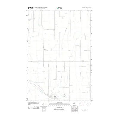
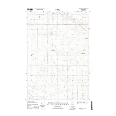
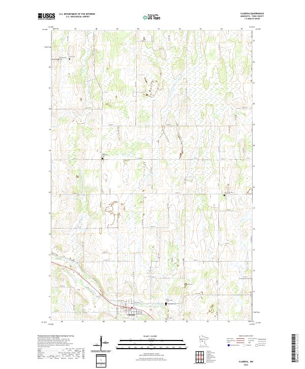 2022 Clarissa2022 Print · USGSClarissa and its surrounding farmstead townships are shown here in the early twenty-first century, reflecting a landscape shaped by drainage and faith. Researchers can locate numerous burial sites like Scandinavian Cem, Zoar Cem, and Woodmans Cem scattered across the local countryside.
 - 2022 Map of Browerville SW, 2022 Print
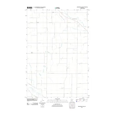
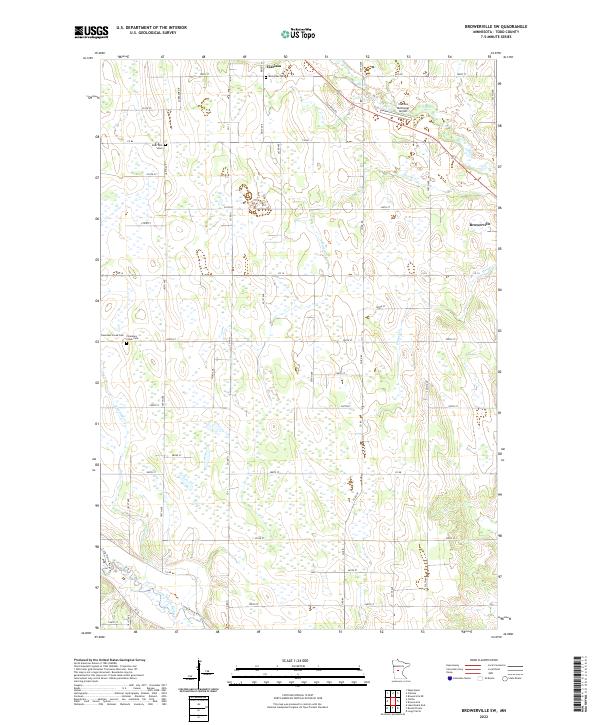 2022 Browerville SW2022 Print · USGSTodd County’s agricultural heartland is documented here in the early twenty-first century, showing the enduring rural layout of the region. Genealogists and local researchers can locate Evergreen Cem, Deer Park Cem, and the Clarissa Municipal Airport.
End of results
Showing maps 1-17 of 17
Top cities near Clarissa
- Long Prairie historical maps
- Browerville historical maps
- Round Prairie historical maps
- Eagle Bend historical maps
- Bertha historical maps
- Hewitt historical maps
Frequently asked questions
- What are the different types of historical maps available for Clarissa?
- What is the oldest map of Clarissa?
- Where can I purchase historical maps of Clarissa for my home or office?
- Where can I download high-res historical maps of Clarissa?
- Are there historical topographic maps available for Clarissa?
- Is there historical aerial imagery available for Clarissa?
- Where are historical maps of Clarissa sourced from?