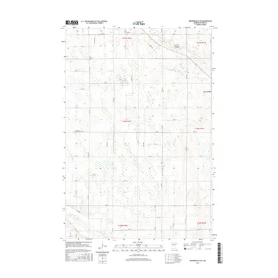
2016 Map of Browerville SW
USGS Topo · Published 2016About this map
Freemans Creek Cem, Deer Park Cem, and Evergreen Cem anchor this landscape in central Todd County, serving as vital markers for genealogical research. The terrain is defined by a dense network of small watercourses including Eagle Cr, Harris Cr, Drayer Cr, and Freemans Cr, which eventually feed into the Long Prairie River at the southern edge of the sheet. The settlement pattern follows a rigid grid of township roads such as Co 89 and Co 14, while the Clarissa Municipal Airport and the outskirts of Browerville represent the area's modern infrastructure. This detailed survey provides a clear view of the rural sections and section lines of Townships 129N through 131N, documenting the evolution of local land use and cemetery placement in the early 21st century.
Find a feature on this map
54 named features on this map. Tap any name to fly to it.
Don’t see what you’re looking for? This feature index may not catch every label — zoom into the map to look around manually.
Map Details
Editions of this 2016 Browerville SW Map
This is the sole edition of this map. No revisions or reprints were ever made.
Other maps of this area

1953 · Brainerd
USGS Topo · 1:250,000

1953 · Saint Cloud
USGS Topo · 1:250,000

1957 · Brainerd
USGS Topo · 1:250,000

1957 · Saint Cloud
USGS Topo · 1:250,000

1958 · Saint Cloud
USGS Topo · 1:250,000

1958 · Brainerd
USGS Topo · 1:250,000

1965 · Brainerd
USGS Topo · 1:250,000
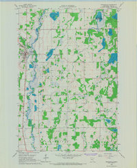
1966 · Browerville
USGS Topo · 1:24,000
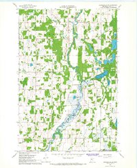
1966 · Browerville NE
USGS Topo · 1:24,000
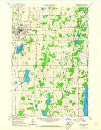
1966 · Long Prairie
USGS Topo · 1:24,000