2000s (21st Century) Maps of Long Prairie, Minnesota
Explore 10 historic maps of Long Prairie from the 2000s (21st Century). These maps offer a rare glimpse into what life looked like during the 2000s — showing old roads, neighborhoods, homes, and landmarks that have changed or disappeared over time.
Whether you're researching your family's past, planning a metal detecting trip, or studying how Long Prairie's landscape evolved across the 2000s, these high-resolution maps are a powerful tool for exploring the history of this region.
- Focus on a specific era: All maps on this page are from the 2000s, giving you a focused view of this time period.
- See what’s changed: Compare century-old streets, trails, and buildings to today's modern landscape using overlays and satellite layers.
- Research with precision: Use these maps for genealogy, historical research, land use analysis, or educational projects.
- View, download, or print: Maps are fully viewable online in high resolution, and can be downloaded or printed for your own records.
Start exploring Long Prairie's history through authentic maps from the 2000s. This is your window into the past.
Long Prairie, MN maps
(10)- 2010 Map of Long Prairie, 2010 Print
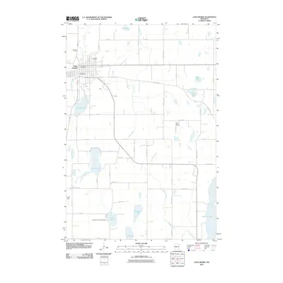 2010 Long Prairie2010 Print · USGSCovers Long Prairie, including Todd County, United States, and other nearby areas
 - 2010 Map of Round Prairie, 2010 Print
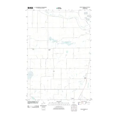 2010 Round Prairie2010 Print · USGSCovers Long Prairie, including Round Prairie, Gutches Grove, and other nearby areas
 - 2013 Map of Round Prairie, 2013 Print
 2013 Round Prairie2013 Print · USGSCovers Long Prairie, including Round Prairie, Gutches Grove, and other nearby areas
 - 2013 Map of Long Prairie, 2013 Print
 2013 Long Prairie2013 Print · USGSCovers Long Prairie, including Todd County, United States, and other nearby areas
 - 2016 Map of Long Prairie, 2016 Print
 2016 Long Prairie2016 Print · USGSCovers Long Prairie, including Todd County, United States, and other nearby areas
 - 2016 Map of Round Prairie, 2016 Print
 2016 Round Prairie2016 Print · USGSCovers Long Prairie, including Round Prairie, Gutches Grove, and other nearby areas
 - 2019 Map of Long Prairie, 2019 Print
 2019 Long Prairie2019 Print · USGSCovers Long Prairie, including Todd County, United States, and other nearby areas
 - 2019 Map of Round Prairie, 2019 Print
 2019 Round Prairie2019 Print · USGSCovers Long Prairie, including Round Prairie, Gutches Grove, and other nearby areas
 - 2022 Map of Round Prairie, 2022 Print
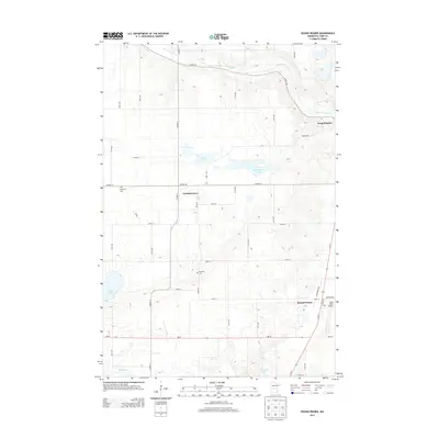
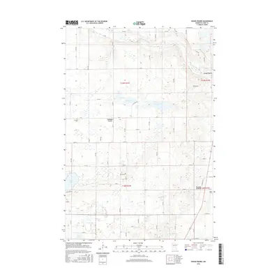
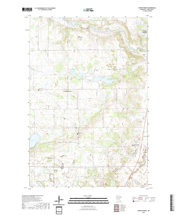 2022 Round Prairie2022 Print · USGSTodd County in the early 2020s remains a landscape of glacial lakes and prairie farmsteads. Trace local history at Gutches Grove, Reynolds Baptist Cem, and the waters of Keller Lake.
 - 2022 Map of Long Prairie, 2022 Print
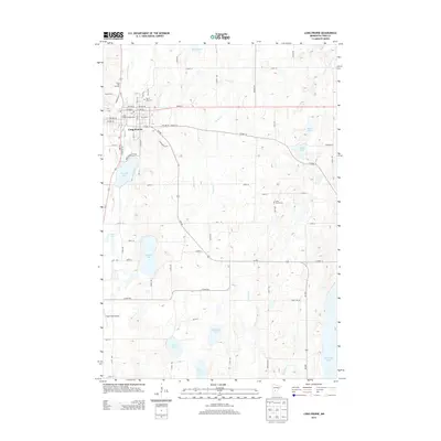
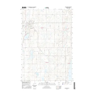
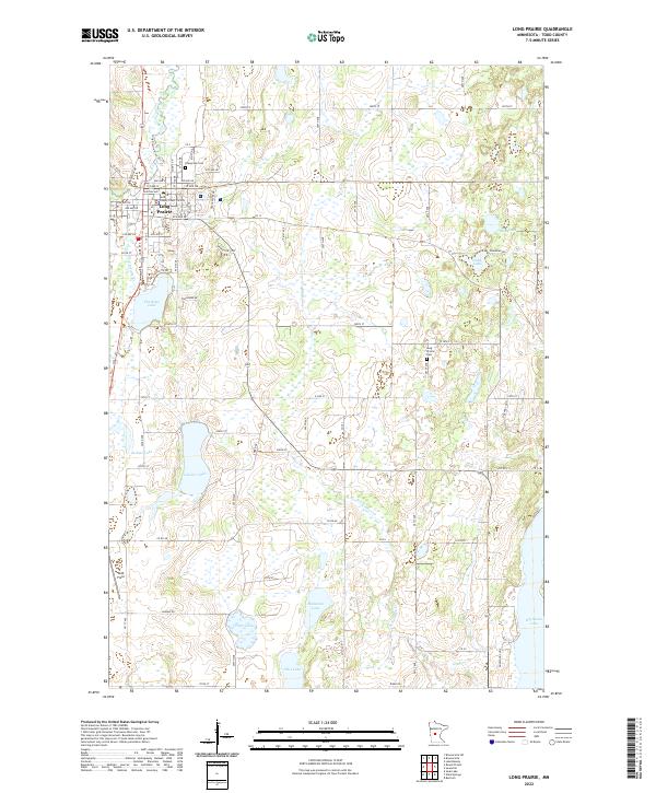 2022 Long Prairie2022 Print · USGSIn the lake-country of Todd County, this recent survey captures the established civic core of Long Prairie and its surrounding water bodies. Researchers can trace property near Evergreen Cem, explore the shoreline of Charlotte Lake, or locate Todd Field.
End of results
Showing maps 1-10 of 10
Top cities near Long Prairie
- Sauk Centre historical maps
- Little Sauk historical maps
- Browerville historical maps
- Round Prairie historical maps
- Clarissa historical maps
- Eagle Bend historical maps
See more
Frequently asked questions
- What are the different types of historical maps available for Long Prairie?
- What is the oldest map of Long Prairie?
- Where can I purchase historical maps of Long Prairie for my home or office?
- Where can I download high-res historical maps of Long Prairie?
- Are there historical topographic maps available for Long Prairie?
- Is there historical aerial imagery available for Long Prairie?
- Where are historical maps of Long Prairie sourced from?