Old Maps of Long Prairie, Minnesota for Hiking & Exploration
Hike through history with 16 historic maps of Long Prairie. Explore old trails, ghost towns, and forgotten backroads — perfect for outdoor adventurers and local explorers.
- Rediscover forgotten places: Map out old mining camps, roads, and footpaths that no longer exist on modern maps.
- Layer with modern tools: Combine with LiDAR or satellite views to plan hikes through historical terrain.
- Made for exploration: Popular among hikers, overlanders, and local history lovers.
Use these maps to find adventure and explore the hidden past of Long Prairie.
Long Prairie, MN maps
(16)- 1953 Map of Saint Cloud, 1968 Print
 1953 Saint Cloud1968 Print · USGSCentral Minnesota's lake country and the Mississippi River valley are caught in a period of steady mid-century growth. Researchers can trace historic rail lines, old granite works, and local landmarks like St. Johns University, Camp Ripley, and the shores of Lake Minnewaska.3 unique versions available
 - 1957 Map of Saint Cloud
 1957 Saint Cloud1957 Print · USGSCentral Minnesota's lake country and rail corridors are meticulously detailed in the mid-1950s. Genealogists and researchers can trace the growth of towns like Alexandria, Willmar, and Saint Cloud along the Great Northern railroad line.
 - 1958 Map of Saint Cloud
 1958 Saint Cloud1958 Print · USGSCentral Minnesota in the mid-1950s shows a landscape of growing regional hubs and hundreds of glacial lakes connected by an extensive rail network. Genealogists and historians can trace the early footprints of Saint Cloud, Alexandria, and Willmar along the Great Northern Railway.
 - 1966 Map of Long Prairie, 1967 Print
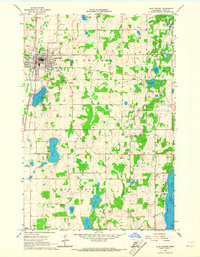 1966 Long Prairie1967 Print · USGSLong Prairie and its glacial lake country are captured here in the mid-sixties, showing a landscape defined by the Great Northern rail and family farms. Trace local history at Lutheran Cem, School No 2268, or along the banks of Latimer Lake.2 unique versions available
 - 1966 Map of Round Prairie, 1967 Print
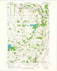 1966 Round Prairie1967 Print · USGSTodd County farm and lake country comes into focus in the mid-1960s, showing a landscape shaped by the railroad and the river. Researchers can locate family landmarks like Reynolds Ch, the Reynolds Cem, and the old station at Round Prairie.
 - 1986 Map of St. Cloud
 1986 St. Cloud1986 Print · USGSCentral Minnesota in the mid-1980s reveals a landscape where river industry and growing highway corridors meet traditional farming communities. Researchers can trace the layout of small-town landmarks like St Wendel Ch and St Anna Cem or follow the path of the Sauk River as it winds toward the Mississippi.2 unique versions available
 - 2010 Map of Long Prairie, 2010 Print
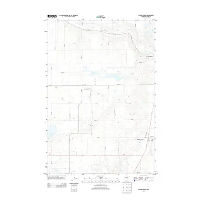
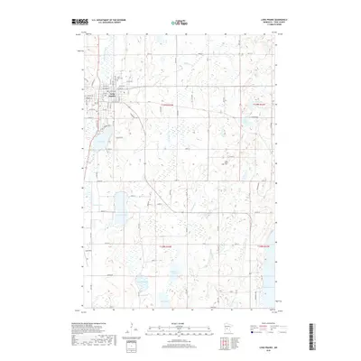
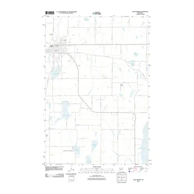 2010 Long Prairie2010 Print · USGSCovers Long Prairie, including Todd County, United States, and other nearby areas
 - 2010 Map of Round Prairie, 2010 Print
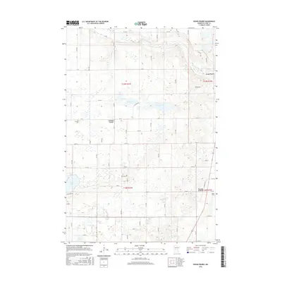
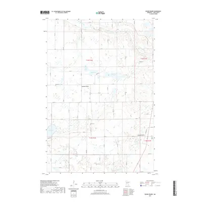
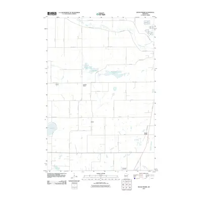 2010 Round Prairie2010 Print · USGSCovers Long Prairie, including Round Prairie, Gutches Grove, and other nearby areas
 - 2013 Map of Round Prairie, 2013 Print
 2013 Round Prairie2013 Print · USGSCovers Long Prairie, including Round Prairie, Gutches Grove, and other nearby areas
 - 2013 Map of Long Prairie, 2013 Print
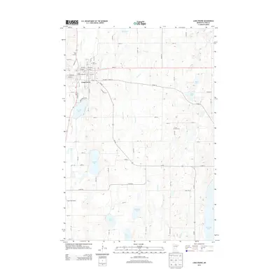 2013 Long Prairie2013 Print · USGSCovers Long Prairie, including Todd County, United States, and other nearby areas
 - 2016 Map of Long Prairie, 2016 Print
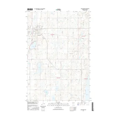 2016 Long Prairie2016 Print · USGSCovers Long Prairie, including Todd County, United States, and other nearby areas
 - 2016 Map of Round Prairie, 2016 Print
 2016 Round Prairie2016 Print · USGSCovers Long Prairie, including Round Prairie, Gutches Grove, and other nearby areas
 - 2019 Map of Long Prairie, 2019 Print
 2019 Long Prairie2019 Print · USGSCovers Long Prairie, including Todd County, United States, and other nearby areas
 - 2019 Map of Round Prairie, 2019 Print
 2019 Round Prairie2019 Print · USGSCovers Long Prairie, including Round Prairie, Gutches Grove, and other nearby areas
 - 2022 Map of Round Prairie, 2022 Print
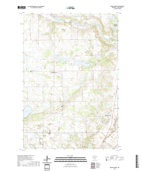 2022 Round Prairie2022 Print · USGSTodd County in the early 2020s remains a landscape of glacial lakes and prairie farmsteads. Trace local history at Gutches Grove, Reynolds Baptist Cem, and the waters of Keller Lake.
 - 2022 Map of Long Prairie, 2022 Print
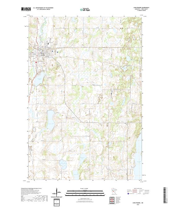 2022 Long Prairie2022 Print · USGSIn the lake-country of Todd County, this recent survey captures the established civic core of Long Prairie and its surrounding water bodies. Researchers can trace property near Evergreen Cem, explore the shoreline of Charlotte Lake, or locate Todd Field.
End of results
Showing maps 1-16 of 16
Top cities near Long Prairie
- Sauk Centre historical maps
- Little Sauk historical maps
- Browerville historical maps
- Round Prairie historical maps
- Clarissa historical maps
- Eagle Bend historical maps
See more
Frequently asked questions
- What are the different types of historical maps available for Long Prairie?
- What is the oldest map of Long Prairie?
- Where can I purchase historical maps of Long Prairie for my home or office?
- Where can I download high-res historical maps of Long Prairie?
- Are there historical topographic maps available for Long Prairie?
- Is there historical aerial imagery available for Long Prairie?
- Where are historical maps of Long Prairie sourced from?