Old Maps of Charlesville, Minnesota for Academic Research
Study the evolution of Charlesville with 10 high-resolution historic maps. Whether you're teaching, researching, or modeling changes in land use, these maps provide essential visual documentation of urban, environmental, and geographic change.
- Analyze long-term change: Track patterns in development, transportation, and natural features.
- Ideal for environmental or urban studies: Support academic projects with primary historical map data.
- Use in the classroom or lab: Educators and researchers rely on these maps to bring historical context to life.
These maps are a powerful tool for teaching, research, and visualizing how Charlesville has changed over the decades.
Charlesville, MN maps
(10)- 1951 Map of Wheaton
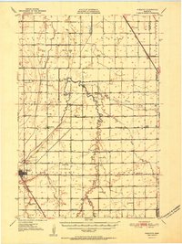 1951 Wheaton1951 Print · USGSTraverse County farming communities and the rail hub of Wheaton are captured here in the early fifties. Genealogists can trace family footprints across dozens of country schools like School No 46 and sacred sites including St Johns Cem.2 unique versions available
 - 1953 Map of Milbank, 1958 Print
 1953 Milbank1958 Print · USGSThe tri-state border region of South Dakota, North Dakota, and Minnesota is shown here during the early fifties, a landscape defined by glacial lakes and the Sisseton Indian Reservation. Researchers can trace the legacy of the western railroads, locating old stops along the Great Northern and settlements like Milbank, Webster, and Sisseton.3 unique versions available
 - 1958 Map of Milbank
 1958 Milbank1958 Print · USGSThe northern Great Plains in the late fifties show a landscape of glacial lakes and reservation lands shaped by the Great Northern railroad. Genealogists and local historians can trace the grid of settlements from Britton to Milbank and locate landmarks like Enemy Swim Lake and the Sisseton Indian Reservation.
 - 1974 Map of Charlesville, 1976 Print
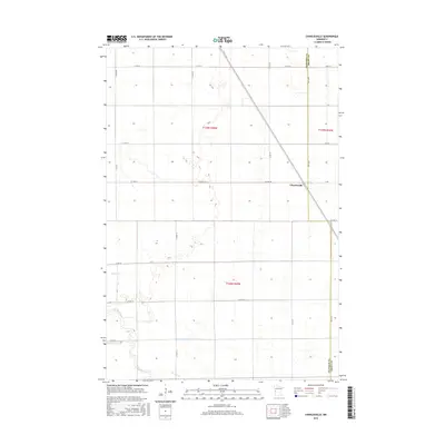
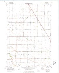 1974 Charlesville1976 Print · USGSThe rural plains of Traverse County are captured here in the mid-1970s, showcasing a landscape transformed by large-scale agricultural drainage. Researchers can trace the rail-side settlement of Charlesville and the complex network of waterways like Fivemile Creek and the Mustinka River.
 - 1985 Map of Wheaton
 1985 Wheaton1985 Print · USGSThe tri-state border region of Minnesota and the Dakotas is captured in the mid-1980s, defined by its prairie wetlands and rail-fed farming towns. Researchers can trace the Burlington Northern line through Wheaton and Graceville or locate family-named landmarks like Carlson Island.2 unique versions available
 - 2010 Map of Charlesville, 2010 Print
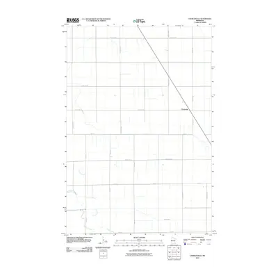 2010 Charlesville2010 Print · USGSCovers Charlesville, including Traverse County, Grant County, and other nearby areas
 - 2013 Map of Charlesville, 2013 Print
 2013 Charlesville2013 Print · USGSCovers Charlesville, including Traverse County, Grant County, and other nearby areas
 - 2016 Map of Charlesville, 2016 Print
 2016 Charlesville2016 Print · USGSCovers Charlesville, including Traverse County, Grant County, and other nearby areas
 - 2019 Map of Charlesville, 2019 Print
 2019 Charlesville2019 Print · USGSCovers Charlesville, including Traverse County, Grant County, and other nearby areas
 - 2022 Map of Charlesville, 2022 Print
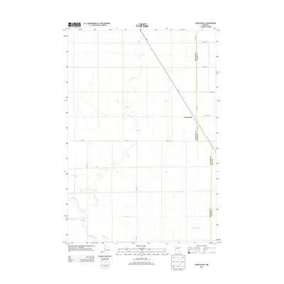
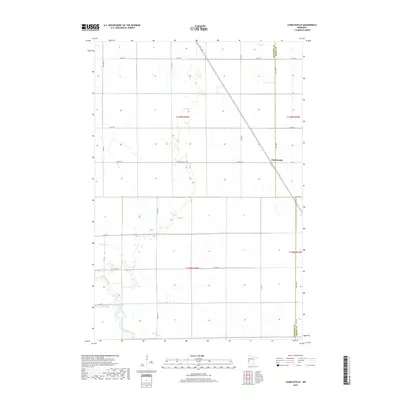
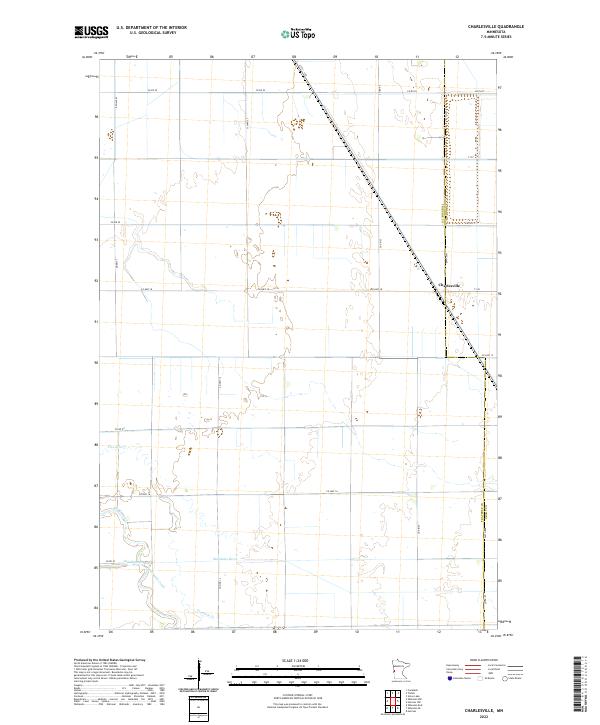 2022 Charlesville2022 Print · USGSTraverse and Grant counties are captured here in the early twenty-first century, showing the enduring agricultural geometry of the Minnesota prairie. Researchers can trace the meandering Mustinka River and locate the small settlement of Charlesville alongside the old path of Fivemile Creek.
End of results
Showing maps 1-10 of 10
Top cities near Charlesville
- Wheaton historical maps
- Herman historical maps
- Campbell historical maps
- Wendell historical maps
- Western historical maps
- Tintah historical maps
See more
Frequently asked questions
- What are the different types of historical maps available for Charlesville?
- What is the oldest map of Charlesville?
- Where can I purchase historical maps of Charlesville for my home or office?
- Where can I download high-res historical maps of Charlesville?
- Are there historical topographic maps available for Charlesville?
- Is there historical aerial imagery available for Charlesville?
- Where are historical maps of Charlesville sourced from?