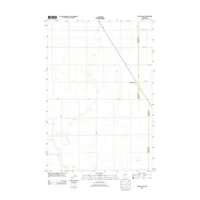
2013 Map of Charlesville
USGS Topo · Published 2013About this map
Charlesville serves as the central point of interest in this prairie landscape along the border of Traverse and Grant counties. The terrain is defined by the winding course of the Mustinka River and its tributaries, including Fivemile Cr and Twelvemile Cr. A notable feature is the Old Channel, which suggests the historical shifting of waterways in this agricultural region. The map reveals a strictly gridded section-line road network, anchored by north-south routes like 750th Ave and 730th Ave, while Mn-9 cuts diagonally across the northern half of the survey. This pattern of settlement reflects the enduring structure of Minnesota's rural township system, where small communities like Charlesville developed as vital transit and social hubs for surrounding farmsteads.
Find a feature on this map
14 named features on this map. Tap any name to fly to it.
Don’t see what you’re looking for? This feature index may not catch every label — zoom into the map to look around manually.
Map Details
Editions of this 2013 Charlesville Map
This is the sole edition of this map. No revisions or reprints were ever made.
Other maps of this area

1910 · Wendell
USGS Topo · 1:62,500

1911 · Herman
USGS Topo · 1:62,500

1913 · Wendell
USGS Topo · 1:62,500

1951 · Wheaton
USGS Topo · 1:62,500

1951 · Campbell
USGS Topo · 1:62,500

1953 · Milbank
USGS Topo · 1:250,000

1953 · Fargo
USGS Topo · 1:250,000

1956 · Fargo
USGS Topo · 1:250,000

1958 · Milbank
USGS Topo · 1:250,000

1973 · Herman NW
USGS Topo · 1:24,000