2020s Maps of Wadena County, Minnesota
Explore 22 historic maps of Wadena County from the 2020s. These maps offer a rare glimpse into what life looked like during the 2020s — showing old roads, neighborhoods, homes, and landmarks that have changed or disappeared over time.
Whether you're researching your family's past, planning a metal detecting trip, or studying how Wadena County's landscape evolved across the 2020s, these high-resolution maps are a powerful tool for exploring the history of this region.
- Focus on a specific era: All maps on this page are from the 2020s, giving you a focused view of this time period.
- See what’s changed: Compare century-old streets, trails, and buildings to today's modern landscape using overlays and satellite layers.
- Research with precision: Use these maps for genealogy, historical research, land use analysis, or educational projects.
- View, download, or print: Maps are fully viewable online in high resolution, and can be downloaded or printed for your own records.
Start exploring Wadena County's history through authentic maps from the 2020s. This is your window into the past.
Wadena County, MN maps
(22)- 2022 Map of Burgen Lake, 2022 Print
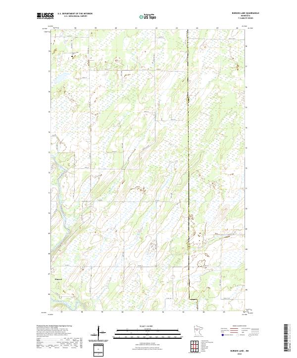 2022 Burgen Lake2022 Print · USGSThe community of Nimrod and the wetlands of Wadena County are mapped here in the early twenty-first century. Researchers can locate the Huntersville Cemetery and trace the winding paths of the Crow Wing River and Big Swamp Creek.
 - 2022 Map of Aldrich North, 2022 Print
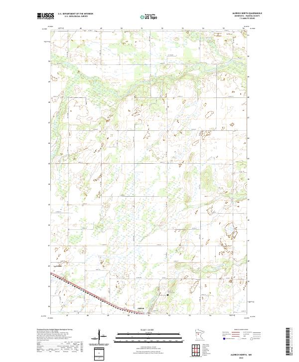 2022 Aldrich North2022 Print · USGSWadena County's agricultural and river landscape is detailed in this recent survey of the central Minnesota plains. Researchers can trace family sites near Verndale and Aldrich or locate the Mother of Sorrows Cem near the Partridge River.
 - 2022 Map of Oylen, 2022 Print
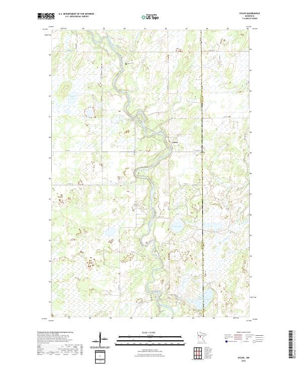 2022 Oylen2022 Print · USGSThe rural landscape near the Wadena and Cass county line is captured in the early 2020s, centered on the Crow Wing River. Researchers can locate the Lyons Cem, trace the settlement at Oylen, and follow numerous waterways like Beaver Cr and Farnham Lake.
 - 2022 Map of Motley NW, 2022 Print
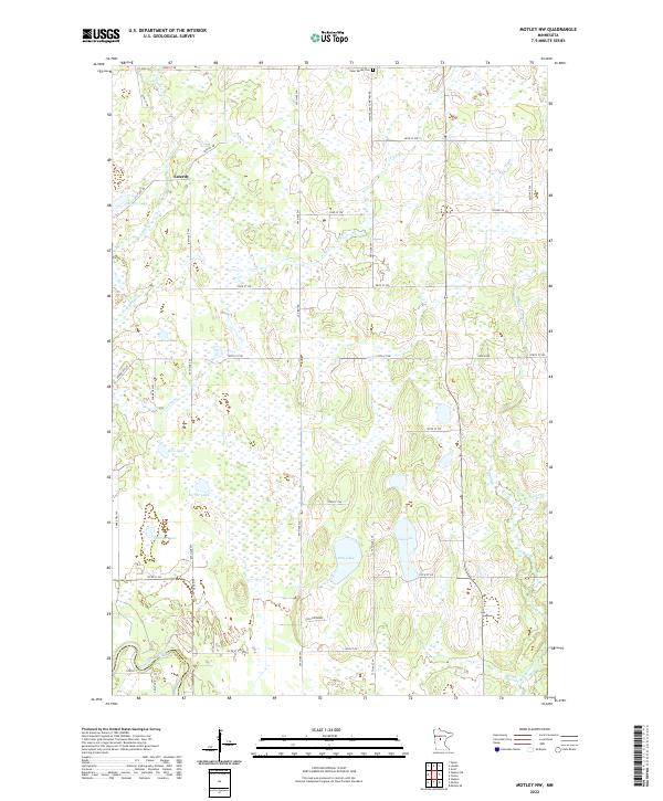 2022 Motley NW2022 Print · USGSCentral Minnesota's lake-dotted wetlands are shown here in the 2020s along the boundary of Cass and Wadena counties. Local historians can trace the rural settlement of Esterdy and locate the Swan Valley Cem near Pulvers Lake and the Snake River.
 - 2022 Map of Park Rapids SW, 2022 Print
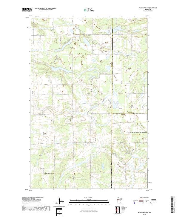 2022 Park Rapids SW2022 Print · USGSNorth-central Minnesota's glacial landscape is captured in the early twenty-first century as county lines meet among intricate river systems. Family researchers can locate rural landmarks such as Green Valley Cem and Alajoki Cem along the banks of the Blueberry River.
 - 2022 Map of Nimrod, 2022 Print
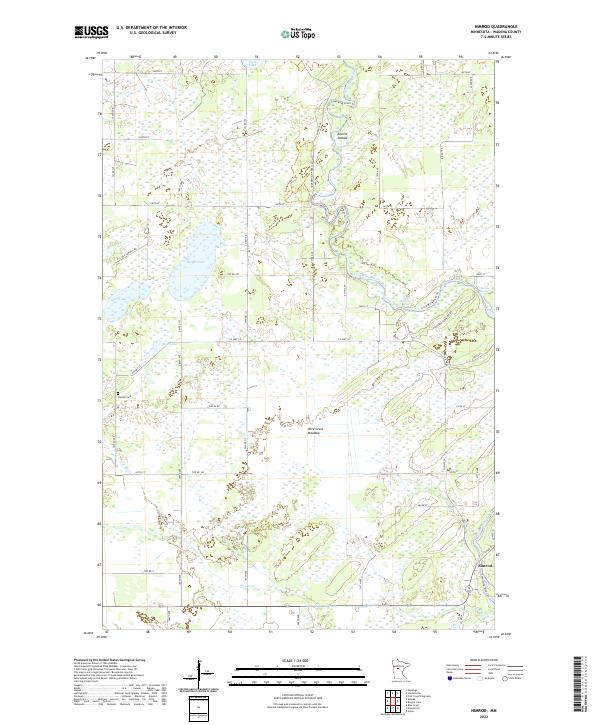 2022 Nimrod2022 Print · USGSIn the early twenty-first century, the river country near Nimrod remains a landscape of oxbows and rapids. Genealogists and historians can locate the Finnish Cem or trace the winding courses of the Crow Wing River and Cat River through Wire Grass Meadow.
 - 2022 Map of Huntersville, 2022 Print
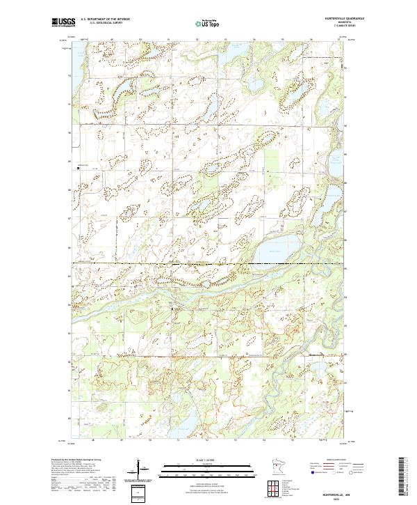 2022 Huntersville2022 Print · USGSThe Hubbard and Wadena county line comes alive in the early 2020s, dominated by the meeting of the Shell River and Crow Wing River. Researchers can trace old routes and local heritage through the Shell City Cem and the Huntersville Horse Trails Trl.
 - 2022 Map of Nimrod SW, 2022 Print
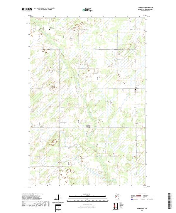 2022 Nimrod SW2022 Print · USGSWadena County's rural landscape is captured here in the early twenty-first century, showing the enduring grid of township roads and river systems. Researchers can trace family history through local landmarks like North Germany Cem, West Lyons Cem, and the waters of the Redeye River.
 - 2022 Map of Menahga, 2022 Print
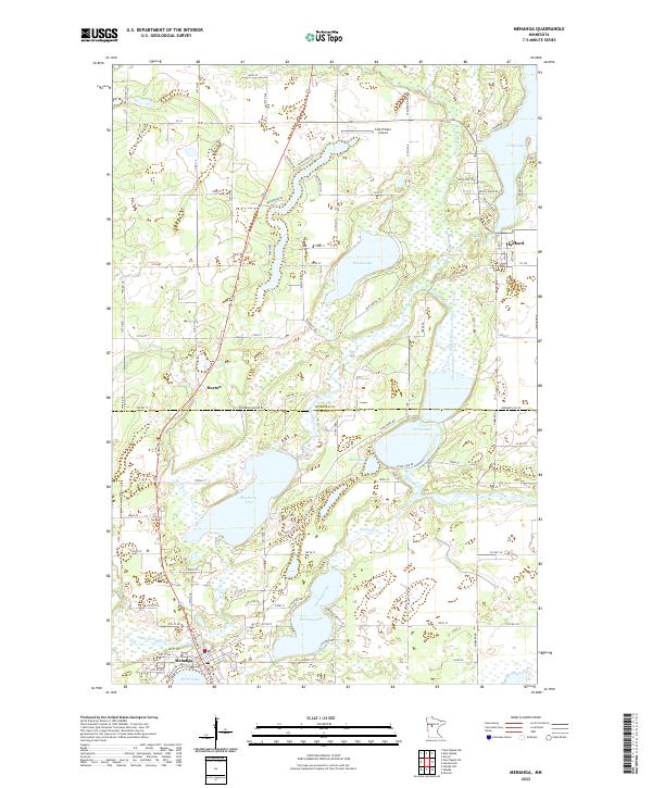 2022 Menahga2022 Print · USGSThe Hubbard and Wadena county line comes alive in the early twenty-first century, showing a landscape defined by its glacial lakes and rivers. Local historians can trace the growth of Menahga and Hubbard alongside distinctive features like Stocking Lake and the Shell River.
 - 2022 Map of Wadena, 2022 Print
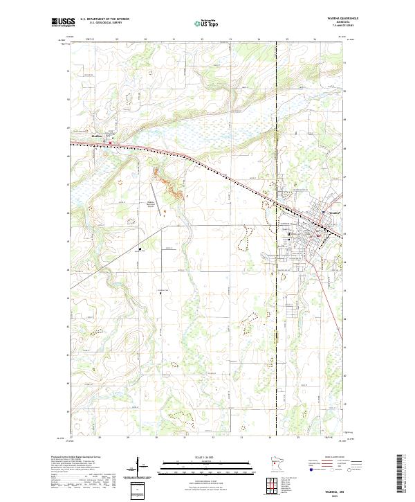 2022 Wadena2022 Print · USGSWadena and Bluffton are documented here in the early twenty-first century, showing the established grid and river geography of central Minnesota. Researchers can locate family landmarks like the Wadena County Courthouse, Compton Cem, and Saint Ann's Cem.
 - 2022 Map of First Crow Wing Lake, 2022 Print
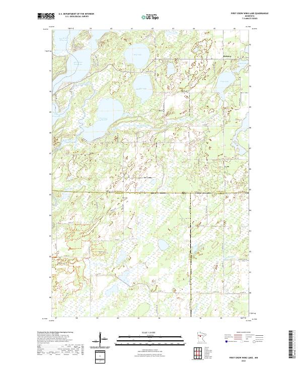 2022 First Crow Wing Lake2022 Print · USGSThe Crow Wing River chain dominates this Hubbard County landscape during the early 2020s. Researchers can trace the water levels and road networks surrounding First Crow Wing Lake, Wolf Lake, and the settlement of Badoura at the tri-county border.
 - 2022 Map of Aldrich South, 2022 Print
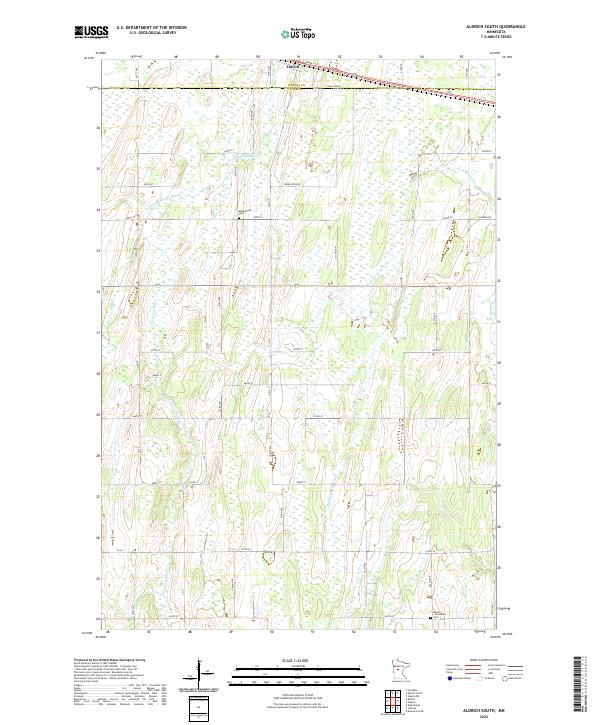 2022 Aldrich South2022 Print · USGSTodd County farm country and the upper reaches of the Partridge River appear here in the early twenty-first century. Genealogists and local historians can locate rural landmarks such as Balsamlund Cem, Moran - Germania Cem, and the village of Aldrich.
 - 2022 Map of Motley, 2022 Print
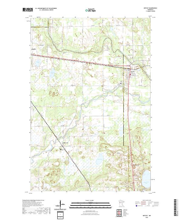 2022 Motley2022 Print · USGSMotley and the surrounding lake country appear in this recent survey at the convergence of three Minnesota counties. Researchers can trace local history through the sites of Saint James Cemetery, the settlement of Philbrook, and the waters of Shamineau Lake.
 - 2022 Map of Staples, 2022 Print
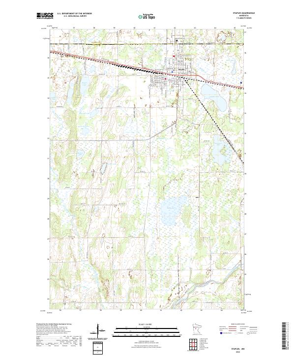 2022 Staples2022 Print · USGSIn the early twenty-first century, the town of Staples remains a crossroads on the border of Wadena and Todd counties. Local researchers can trace family landmarks and landscape changes from Evergreen Cem to the shores of Dower Lake and Rice Lake.
 - 2022 Map of Staples NE, 2022 Print
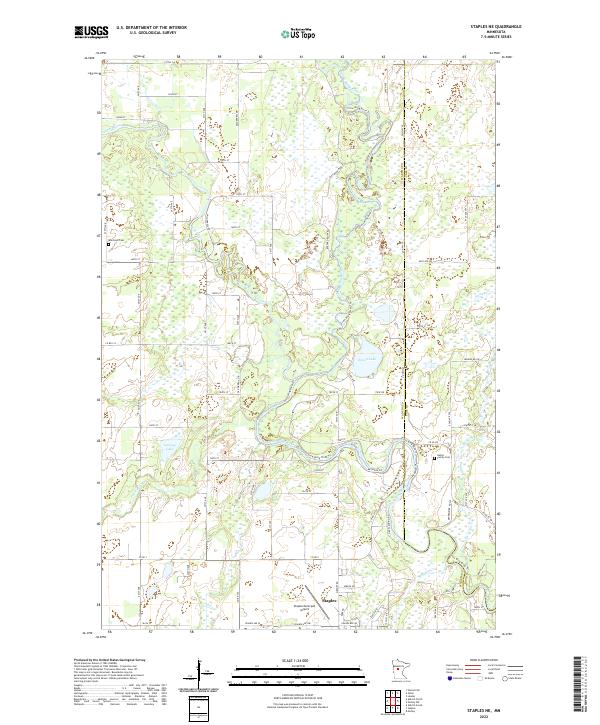 2022 Staples NE2022 Print · USGSThe confluence of the Crow Wing River and Leaf River systems defines this central Minnesota landscape in the early twenty-first century. Genealogists can trace family footprints at Montrose Cem or the Hallet Family Cem and locate landmarks near Staples.
 - 2022 Map of Sebeka, 2022 Print
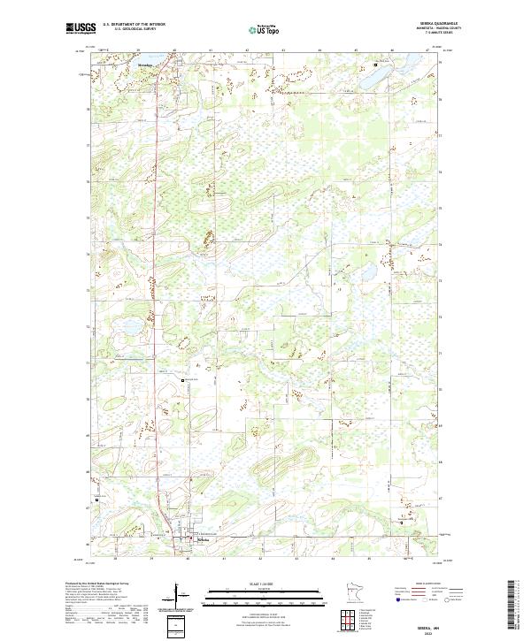 2022 Sebeka2022 Print · USGSCentral Minnesota's rural landscape comes into focus during this contemporary period, centered on the communities of Sebeka and Menahga. Genealogists can trace family roots through numerous burial sites like Jim Cook Cem and Evergreen Cem along the Redeye River.
 - 2022 Map of Sebeka SW, 2022 Print
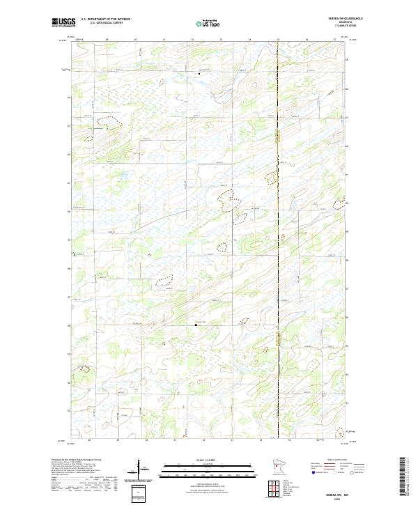 2022 Sebeka SW2022 Print · USGSOtter Tail and Wadena counties meet here in the early twenty-first century, showing a landscape defined by seasonal wetlands and rural townships. Researchers can pinpoint Hay Creek Cem and Pioneer Cem while tracing the winding courses of Hay Creek and Blue Creek.
 - 2022 Map of Sebeka NW, 2022 Print
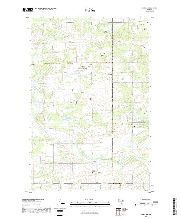 2022 Sebeka NW2022 Print · USGSThe rural borderlands of Otter Tail, Becker, and Wadena Counties are shown in the early twenty-first century, featuring a landscape shaped by glacial waters and drainage. Researchers can locate family burial plots at Bethania Lutheran Cem or Grace Cem while tracing the banks of the Redeye River.
 - 2022 Map of Verndale, 2022 Print
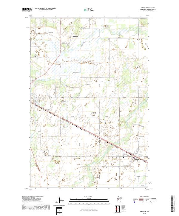 2022 Verndale2022 Print · USGSThe rural landscapes of Wadena County are captured here in the early 2020s, centered on the historic village of Verndale and the winding Leaf River. Researchers can locate several local burial grounds, including Saint Frederick's Cemetery, and trace the path of the Wing River through the surrounding farmland.
 - 2022 Map of Blue Grass, 2022 Print
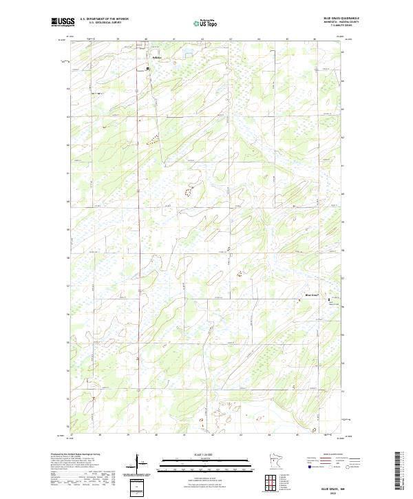 2022 Blue Grass2022 Print · USGSWadena County's rural landscape is captured here in the contemporary era, showing the enduring agricultural and wetland patterns of the region. Genealogists and local historians can locate Greenhill Cem, Saint Huberts Cem, and the small settlement at Blue Grass.
 - 2022 Map of Wrightstown, 2022 Print
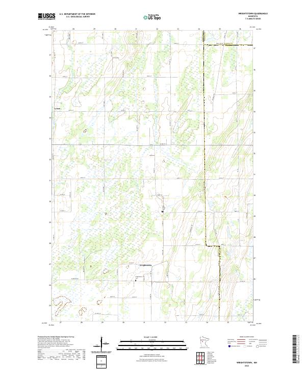 2022 Wrightstown2022 Print · USGSOtter Tail County remains a land of sectional farms and quiet townships in this recent survey. Genealogists and local researchers can pinpoint Wrightstown Cem, the settlement of Lyman, and drainage patterns along Bluff Cr.
 - 2022 Map of Bertha, 2022 Print
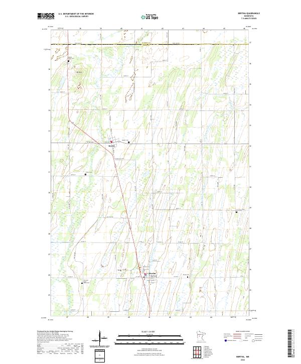 2022 Bertha2022 Print · USGSBertha and Hewitt anchor this Central Minnesota landscape during the early twenty-first century, showing a region defined by agricultural heritage and small-town roots. Genealogists can trace family history through numerous local sites including Mount Nebo Cem, Trinity Cem, and Immanuel Cem.
End of results
Showing maps 1-22 of 22
Top cities of Wadena County
- Wadena historical maps
- Menahga historical maps
- Sebeka historical maps
- Verndale historical maps
- Nimrod historical maps
- Aldrich historical maps
Frequently asked questions
- What are the different types of historical maps available for Wadena County?
- What is the oldest map of Wadena County?
- Where can I purchase historical maps of Wadena County for my home or office?
- Where can I download high-res historical maps of Wadena County?
- Are there historical topographic maps available for Wadena County?
- Is there historical aerial imagery available for Wadena County?
- Where are historical maps of Wadena County sourced from?