Old Maps of Wadena, Minnesota for Metal Detecting
Plan your next treasure hunt with 17 historic maps of Wadena. Find old homesites, ghost towns, trails, and gathering spots that may be lost to time — perfect for identifying promising metal detecting locations.
- Locate forgotten sites: Uncover places like long-lost settlements, abandoned rail lines, or gathering spots.
- Plan better hunts: Use map overlays combined with LiDAR or satellite views to narrow in on historically rich areas.
- Made for detectorists: Thousands of hobbyists use these maps to discover relics, coins, and hidden history.
Use these historic maps to boost your research and find new opportunities beneath the surface of Wadena.
Wadena, MN maps
(17)- 1953 Map of Brainerd, 1966 Print
 1953 Brainerd1966 Print · USGSCentral Minnesota's lake country and iron ranges are detailed in the mid-fifties, showing the intersection of industry and wilderness. Researchers can locate specific local landmarks like the Crow Wing County Courthouse or trace the early paths of the Soo Line Railroad and the Cuyuna Range Iron Mines.3 unique versions available
 - 1957 Map of Brainerd
 1957 Brainerd1957 Print · USGSNorth-central Minnesota's lake-rich landscape is captured in the mid-1950s as a crossroads of rail, river, and forest. Genealogists and historians can trace the paths of the Great Northern and Soo Line railroads through hubs like Brainerd, Wadena, and Detroit Lakes.
 - 1958 Map of Brainerd
 1958 Brainerd1958 Print · USGSCentral Minnesota in the late fifties is a landscape of dense lake chains, rail hubs, and sprawling state forests. Genealogists and local historians can trace old property alignments near the Mississippi River or locate family sites in Brainerd, Little Falls, and Detroit Lakes.
 - 1965 Map of Brainerd
 1965 Brainerd1965 Print · USGSNorth-central Minnesota in the mid-fifties presents a complex landscape of sprawling lake systems and established rail corridors. Genealogists and historians can trace the growth of timber towns along the Northern Pacific RR and explore early borders of the White Earth Indian Reservation or Tamarac National Wildlife Refuge.
 - 1969 Map of Wadena, 1971 Print
 1969 Wadena1971 Print · USGSThe Leaf River valley and the growing hub of Wadena are captured here in the late sixties as the region transitioned through the mid-century. Genealogists and local historians can trace the foundations of the community through sites like the Alliance Ch, Compton Cem, and the Burlington Northern rail corridor.
 - 1969 Map of Verndale, 1971 Print
 1969 Verndale1971 Print · USGSWadena and Aldrich townships are shown here in the late sixties, where the rail and river networks meet. Genealogists can trace family roots at St Fredericks Cem and Leaf River Cem or locate vanished landmarks like the Drive-in Theater.
 - 1986 Map of Battle Lake
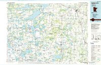 1986 Battle Lake1986 Print · USGSMinnesota's lake-rich glacial heartland is captured in the mid-1980s, showcasing a landscape defined by water and rail. Genealogists and collectors can trace the rural sections around Battle Lake and Parkers Prairie or locate family sites near Otter Tail Lake and Clitherall.2 unique versions available
 - 2010 Map of Verndale, 2010 Print
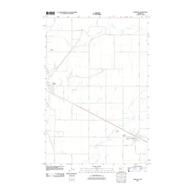 2010 Verndale2010 Print · USGSNear the start of the twenty-first century, this Wadena County landscape remains defined by its prairie rivers and rural farm roads. Genealogists and local historians can trace the town of Verndale and explore sites like Leaf River Cemetery and Greenlawn Cemetery.
 - 2010 Map of Wadena, 2010 Print
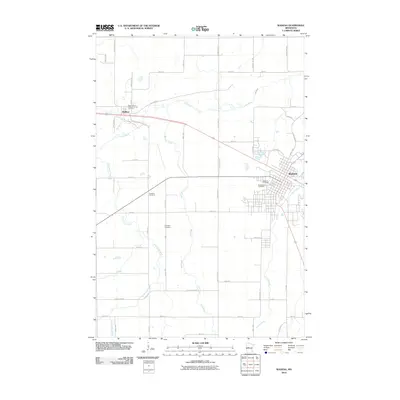 2010 Wadena2010 Print · USGSWadena and Bluffton are shown here at the start of the decade, situated among the meandering waters of the Leaf River. Genealogists can locate several local burial sites including Gustafva Cemetery, Compton Cemetery, and Saint Anns Cemetery.
 - 2013 Map of Wadena, 2013 Print
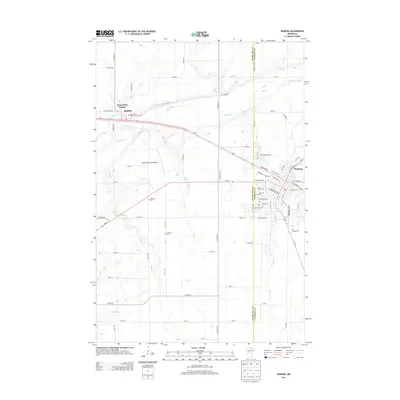 2013 Wadena2013 Print · USGSWadena and the surrounding prairie and river valleys are captured here in the early twenty-first century. Genealogists and local historians can trace the locations of Wadena Cem, Gustafva Cem, and Saint John's Catholic Church Cem along the Leaf River corridor.
 - 2013 Map of Verndale, 2013 Print
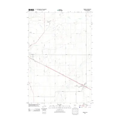 2013 Verndale2013 Print · USGSWadena and Verndale are mapped here in the early twenty-first century, showing a landscape defined by the winding Leaf River and Wing River. Genealogists can locate family plots at Leaf River Cem, Greenlawn Cem, and Saint Fredericks Cem.
 - 2016 Map of Wadena, 2016 Print
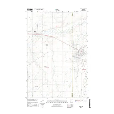 2016 Wadena2016 Print · USGSWadena and Bluffton are documented in this mid-2010s survey, showing the intersection of local industry and the rural landscape along the Leaf River. Genealogists can trace family plots at Saint John's Catholic Church Cem, Gustafva Cem, and Saint Anns Cem.
 - 2016 Map of Verndale, 2016 Print
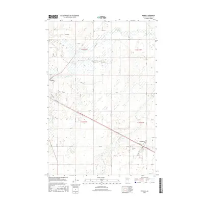 2016 Verndale2016 Print · USGSThe rural landscape between Wadena and Verndale is shown here in the mid-2010s, defined by the winding paths of the Leaf River and Wing River. Family historians can locate several local burial grounds, including Leaf River Cem and Greenlawn Cem.
 - 2019 Map of Verndale, 2019 Print
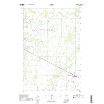 2019 Verndale2019 Print · USGSWadena County at the close of the 2010s reveals a structured prairie landscape defined by the Leaf River and Wing River basins. Genealogists can locate family landmarks like Leaf River Cem or Greenlawn Cem and trace rural routes from Wadena to Verndale.
 - 2019 Map of Wadena, 2019 Print
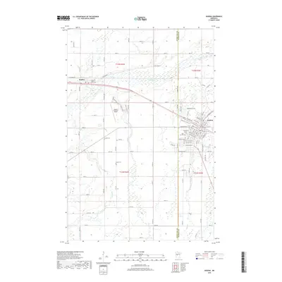 2019 Wadena2019 Print · USGSWadena and the Otter Tail County line are captured in this recent survey of central Minnesota's river-fed landscapes. Genealogists and local historians can map out several rural burial grounds including Gustafva Cem, Compton Cem, and Saint Ann Cem.
 - 2022 Map of Wadena, 2022 Print
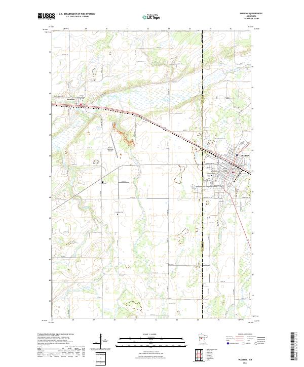 2022 Wadena2022 Print · USGSWadena and Bluffton are documented here in the early twenty-first century, showing the established grid and river geography of central Minnesota. Researchers can locate family landmarks like the Wadena County Courthouse, Compton Cem, and Saint Ann's Cem.
 - 2022 Map of Verndale, 2022 Print
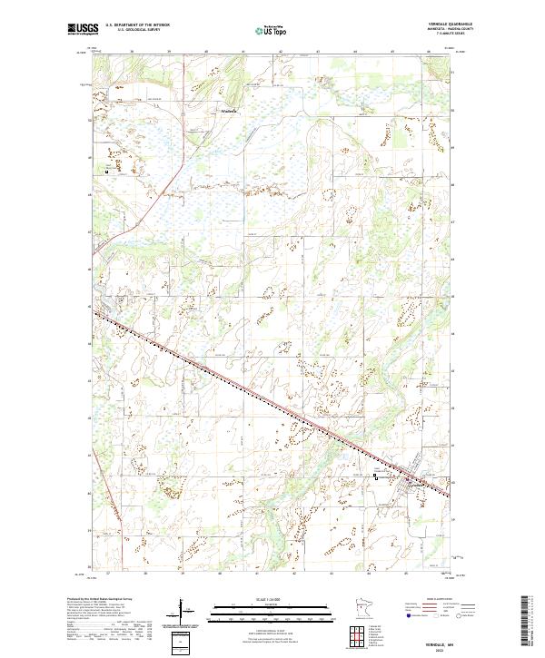 2022 Verndale2022 Print · USGSThe rural landscapes of Wadena County are captured here in the early 2020s, centered on the historic village of Verndale and the winding Leaf River. Researchers can locate several local burial grounds, including Saint Frederick's Cemetery, and trace the path of the Wing River through the surrounding farmland.
End of results
Showing maps 1-17 of 17
Top cities near Wadena
- Sebeka historical maps
- Verndale historical maps
- Bertha historical maps
- Deer Creek historical maps
- Hewitt historical maps
- Bluffton historical maps
See more
Frequently asked questions
- What are the different types of historical maps available for Wadena?
- What is the oldest map of Wadena?
- Where can I purchase historical maps of Wadena for my home or office?
- Where can I download high-res historical maps of Wadena?
- Are there historical topographic maps available for Wadena?
- Is there historical aerial imagery available for Wadena?
- Where are historical maps of Wadena sourced from?