Old Maps of Baytown Township, Minnesota for Hiking & Exploration
Hike through history with 29 historic maps of Baytown Township. Explore old trails, ghost towns, and forgotten backroads — perfect for outdoor adventurers and local explorers.
- Rediscover forgotten places: Map out old mining camps, roads, and footpaths that no longer exist on modern maps.
- Layer with modern tools: Combine with LiDAR or satellite views to plan hikes through historical terrain.
- Made for exploration: Popular among hikers, overlanders, and local history lovers.
Use these maps to find adventure and explore the hidden past of Baytown Township.
Baytown Township, MN maps
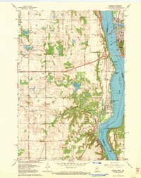
(29)- 1946 Map of Hudson, 1954 Print
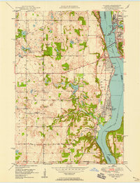
 1946 Hudson1954 Print · USGSThe riverfront communities of the St. Croix Valley are captured here just after the war, showing the distinct border towns of Wisconsin. Genealogists and local historians can trace the streets and benchmarks of Hudson, North Hudson, and Prescott.
 - 1948 Map of Stillwater, 1962 Print
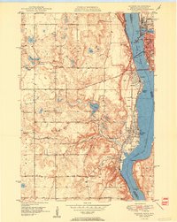
 1948 Stillwater1962 Print · USGSThe St. Croix River valley comes to life in the late 1940s, capturing the river border between Minnesota and Wisconsin. Trace local genealogy and geography through the streets of Houlton, the Houlton Cem, and the historic Marine Ferry crossing.2 unique versions available
 - 1949 Map of Hudson
 1949 Hudson1949 Print · USGSThe riverfront communities of St. Croix and Pierce counties are captured here in the late 1940s as the rail-and-river economy flourished. Genealogists and historians can trace the paths of the Chicago St Paul Minneapolis and Omaha line through Hudson and down to the river junction at Prescott.
 - 1949 Map of Stillwater
 1949 Stillwater1949 Print · USGSThe St Croix River valley in the late 1940s shows the border settlements of Minnesota and Wisconsin before modern sprawl. Researchers can trace the layout of Houlton, find the Houlton Cem, and locate the Boy Scout Camp along the wooded river bluffs.2 unique versions available
 - 1949 Map of Hudson, 1958 Print
 1949 Hudson1958 Print · USGSThe St. Croix River valley at mid-century was a landscape of rail-connected river towns and small school districts. Genealogists can trace family roots through numerous local sites like Swede Hill Sch, St Peters Sch, and Lakeview Cem.2 unique versions available
 - 1950 Map of Hudson
 1950 Hudson1950 Print · USGSThe St. Croix River valley at mid-century shows a network of thriving riverfront towns and rural school districts along the Minnesota-Wisconsin border. Researchers can trace the footprints of old schools like Ellmann Sch and Rentz Sch or locate the Toll Bridge connecting these two states.2 unique versions available
 - 1951 Map of Stillwater, 1952 Print
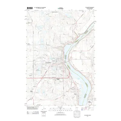
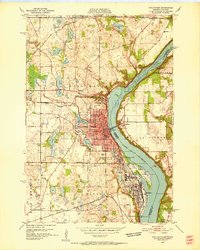 1951 Stillwater1952 Print · USGSStillwater and the St. Croix River valley are captured in the early fifties, showcasing the area's transition from an industrial river hub to a modern regional center. Genealogists and historians can trace family roots through sites like the Minnesota State Prison, St Johns Ch, and the Boutwell Cem.4 unique versions available
 - 1953 Map of Saint Paul, 1964 Print
 1953 Saint Paul1964 Print · USGSThe Twin Cities and the Mississippi River valley are captured here at a mid-century turning point. Trace the early growth of Minneapolis and Saint Paul alongside landmarks like Lake Minnetonka and the St Croix River.4 unique versions available
 - 1953 Map of Stillwater, 1980 Print
 1953 Stillwater1980 Print · USGSThe Twin Cities and the St. Croix Valley are captured in this mid-century survey as the interstate era began to transform the Upper Midwest. Genealogists and historians can trace the rail-and-river geography of Stillwater, locate landmarks in Anoka, or explore the sprawling St Croix State Park.
 - 1955 Map of Stillwater, 1965 Print
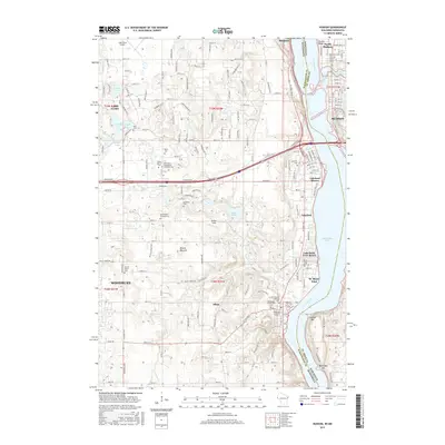
 1955 Stillwater1965 Print · USGSThe Upper St. Croix Valley and the growing Twin Cities area are shown here during the mid-fifties, before the interstate era transformed the regional commute. You can trace the lines of the Northern Pacific RR through towns like Rush City or locate the Saint Croix Indian Reservation.
 - 1958 Map of Stillwater
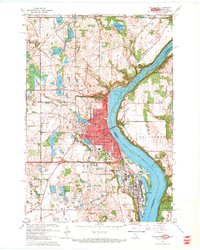
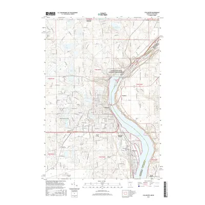
 1958 Stillwater1958 Print · USGSThe Upper Mississippi and St. Croix River valleys appear in the mid-fifties as the Twin Cities expanded north. Genealogists can locate family landmarks like Oak Park Cem, Saint Michael Church, and the Soo Line RR rail corridors.2 unique versions available
 - 1959 Map of Saint Paul
 1959 Saint Paul1959 Print · USGSThe Twin Cities and southeastern Minnesota appear here in the late fifties, showing the peak of the rail era and post-war suburban growth. Genealogists can trace family footprints near Lake Minnetonka, the Univ Of Minn Rosemount Research Center, or the growing neighborhoods of Richfield.2 unique versions available
 - 1965 Map of Stillwater
 1965 Stillwater1965 Print · USGSThe Twin Cities and the St. Croix Valley are mapped here during a period of significant post-war growth and industrial transit. Genealogists and historians can trace rail lines like the Northern Pacific RR through towns such as Rush City, Amery, and Balsam Lake.
 - 1967 Map of Stillwater, 1969 Print
 1967 Stillwater1969 Print · USGSStillwater and the St. Croix riverfront are captured here in the late sixties during a period of steady suburban expansion. Researchers can trace historic family plots at Fairview Cemetery, follow the Northern Pacific tracks, or locate the Minnesota State Prison.5 unique versions available
 - 1967 Map of Hudson, 1969 Print
 1967 Hudson1969 Print · USGSThe riverfront communities along the border of Minnesota and Wisconsin come to life in this survey from the late sixties. Genealogists and local historians can locate early landmarks like Bissels Mounds, Mount Prairie Cem, and the Lake Elmo Airport.4 unique versions available
 - 1975 Map of Stillwater
 1975 Stillwater1975 Print · USGSThe Twin Cities and the St. Croix Valley are captured in the mid-seventies, showing the urban growth of Minneapolis and St Paul. Researchers can trace old rail corridors of the Northern Pacific RR and locate tribal lands at the Mille Lacs Indian Reservation.2 unique versions available
 - 1985 Map of Hastings
 1985 Hastings1985 Print · USGSThe river valleys of the St. Croix and Mississippi dominate this mid-eighties landscape as they border Minnesota and Wisconsin. You can trace the boundaries of the Prairie Island Indian Res, find the old rail alignments of the SOO LINE, and locate remote bluffs like Rattlesnake Point.
 - 1985 Map of Stillwater
 1985 Stillwater1985 Print · USGSThe St. Croix River valley in the mid-1980s reveals a borderland of river towns and conservation areas. Trace the rail lines of the Soo Line, locate the Minnesota State Prison, and explore the numerous wildlife areas like Cylon Marsh.2 unique versions available
 - 1990 Map of Hastings, 1991 Print
 1990 Hastings1991 Print · USGSThe river confluence at Hastings and Prescott is captured here in the final decade of the twentieth century, showing a landscape defined by the Mississippi River and St Croix River. Genealogists and historians can trace rail corridors like the Soo RR and find smaller settlements such as Miesville, Wacouta, and Diamond Bluff.
 - 2010 Map of Hudson, 2010 Print
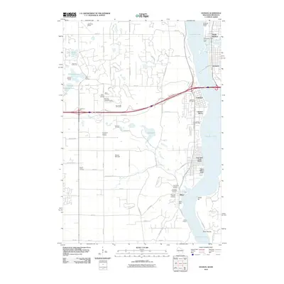 2010 Hudson2010 Print · USGSCovers Baytown Township, including Woodbury, Hudson, and other nearby areas
 - 2010 Map of Stillwater, 2010 Print
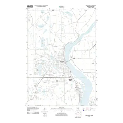 2010 Stillwater2010 Print · USGSCovers Baytown Township, including Stillwater, Lake Elmo, and other nearby areas
 - 2013 Map of Hudson, 2013 Print
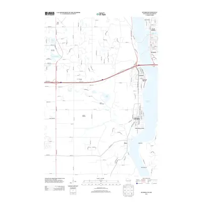 2013 Hudson2013 Print · USGSCovers Baytown Township, including Woodbury, Hudson, and other nearby areas
 - 2013 Map of Stillwater, 2013 Print
 2013 Stillwater2013 Print · USGSCovers Baytown Township, including Stillwater, Lake Elmo, and other nearby areas
 - 2015 Map of Hudson, 2015 Print
 2015 Hudson2015 Print · USGSCovers Baytown Township, including Woodbury, Hudson, and other nearby areas
 - 2016 Map of Stillwater, 2016 Print
 2016 Stillwater2016 Print · USGSCovers Baytown Township, including Stillwater, Lake Elmo, and other nearby areas
Showing maps 1-25 of 29
Top cities near Baytown Township
- Saint Paul historical maps
- Woodbury historical maps
- Maplewood historical maps
- Inver Grove Heights historical maps
- Cottage Grove historical maps
- White Bear Lake historical maps
See more
Top neighborhoods of Baytown Township
Frequently asked questions
- What are the different types of historical maps available for Baytown Township?
- What is the oldest map of Baytown Township?
- Where can I purchase historical maps of Baytown Township for my home or office?
- Where can I download high-res historical maps of Baytown Township?
- Are there historical topographic maps available for Baytown Township?
- Is there historical aerial imagery available for Baytown Township?
- Where are historical maps of Baytown Township sourced from?