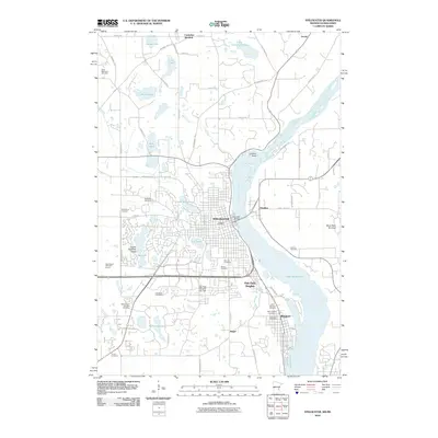
2010 Map of Stillwater
USGS Topo · Published 2010About this map
The Saint Croix River serves as the central artery for this borderland, separating Stillwater, Oak Park Heights, and Bayport on the Minnesota side from the Wisconsin settlement of Houlton. By 2010, the landscape reveals a dense network of suburban development and civic infrastructure, including the Stillwater Post Office and Oak Park Heights City Hall. The river broadens into Lake Saint Croix to the south, while the northern reaches include the high vantage of Lookout Point and the quiet waters of Little Carnelian Lake.
Find a feature on this map
70 named features on this map. Tap any name to fly to it.
Don’t see what you’re looking for? This feature index may not catch every label — zoom into the map to look around manually.
Map Details
Editions of this 2010 Stillwater Map
This is the sole edition of this map. No revisions or reprints were ever made.
Other maps of this area
1946 · Hudson
USGS Topo · 1:62,500
1946 · River Falls
USGS Topo · 1:62,500
1948 · New Richmond
USGS Topo · 1:62,500
1948 · Stillwater
USGS Topo · 1:62,500
1949 · New Richmond
USGS Topo · 1:62,500
1949 · River Falls
USGS Topo · 1:62,500
1949 · Hudson
USGS Topo · 1:62,500
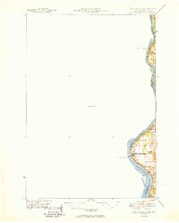
1949 · Stillwater
USGS Topo · 1:62,500
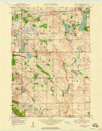
1949 · Lake Elmo
USGS Topo · 1:24,000
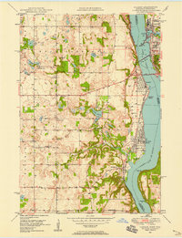
1949 · Hudson
USGS Topo · 1:24,000