2000s (21st Century) Maps of Denmark Township, Minnesota
Explore 15 historic maps of Denmark Township from the 2000s (21st Century). These maps offer a rare glimpse into what life looked like during the 2000s — showing old roads, neighborhoods, homes, and landmarks that have changed or disappeared over time.
Whether you're researching your family's past, planning a metal detecting trip, or studying how Denmark Township's landscape evolved across the 2000s, these high-resolution maps are a powerful tool for exploring the history of this region.
- Focus on a specific era: All maps on this page are from the 2000s, giving you a focused view of this time period.
- See what’s changed: Compare century-old streets, trails, and buildings to today's modern landscape using overlays and satellite layers.
- Research with precision: Use these maps for genealogy, historical research, land use analysis, or educational projects.
- View, download, or print: Maps are fully viewable online in high resolution, and can be downloaded or printed for your own records.
Start exploring Denmark Township's history through authentic maps from the 2000s. This is your window into the past.
Denmark Township, MN maps
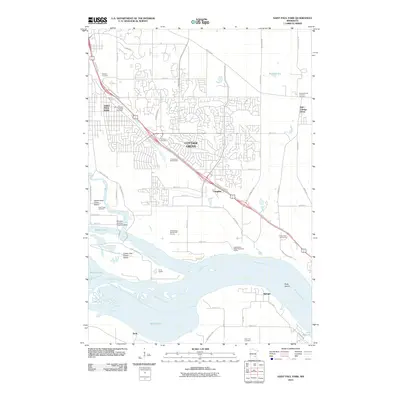
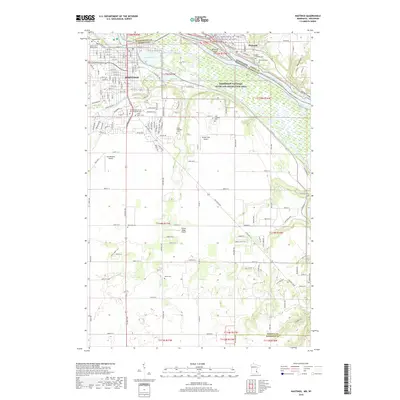
(15)- 2010 Map of Hastings, 2010 Print
 2010 Hastings2010 Print · USGSCovers Denmark Township, including Hastings, Prescott, and other nearby areas
 - 2010 Map of Saint Paul Park, 2010 Print
 2010 Saint Paul Park2010 Print · USGSCovers Denmark Township, including Woodbury, Cottage Grove, and other nearby areas
 - 2010 Map of Prescott, 2010 Print
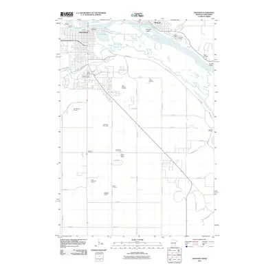
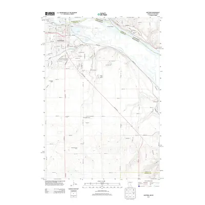
 2010 Prescott2010 Print · USGSCovers Denmark Township, including Woodbury, Cottage Grove, and other nearby areas
 - 2013 Map of Prescott, 2013 Print
 2013 Prescott2013 Print · USGSCovers Denmark Township, including Woodbury, Cottage Grove, and other nearby areas
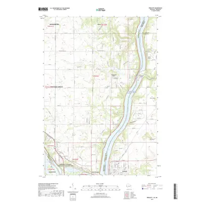
 - 2013 Map of Hastings, 2013 Print
 2013 Hastings2013 Print · USGSCovers Denmark Township, including Hastings, Prescott, and other nearby areas
 - 2013 Map of Saint Paul Park, 2013 Print
 2013 Saint Paul Park2013 Print · USGSCovers Denmark Township, including Woodbury, Cottage Grove, and other nearby areas
 - 2015 Map of Prescott, 2015 Print
 2015 Prescott2015 Print · USGSCovers Denmark Township, including Woodbury, Cottage Grove, and other nearby areas
 - 2016 Map of Saint Paul Park, 2016 Print
 2016 Saint Paul Park2016 Print · USGSCovers Denmark Township, including Woodbury, Cottage Grove, and other nearby areas
 - 2016 Map of Hastings, 2016 Print
 2016 Hastings2016 Print · USGSCovers Denmark Township, including Hastings, Prescott, and other nearby areas
 - 2019 Map of Prescott, 2019 Print
 2019 Prescott2019 Print · USGSCovers Denmark Township, including Woodbury, Cottage Grove, and other nearby areas
 - 2019 Map of Saint Paul Park, 2019 Print
 2019 Saint Paul Park2019 Print · USGSCovers Denmark Township, including Woodbury, Cottage Grove, and other nearby areas
 - 2019 Map of Hastings, 2019 Print
 2019 Hastings2019 Print · USGSCovers Denmark Township, including Hastings, Prescott, and other nearby areas
 - 2022 Map of Prescott, 2022 Print
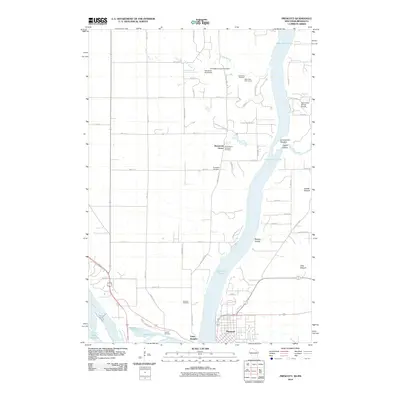
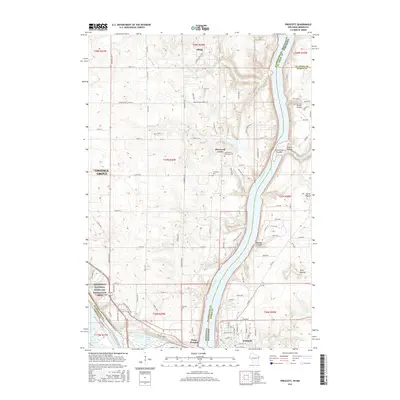
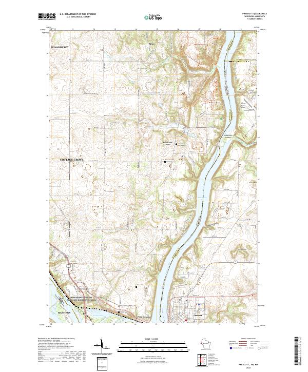 2022 Prescott2022 Print · USGSThe confluence of the Mississippi and Saint Croix rivers comes to life in this modern survey of the Wisconsin-Minnesota border. Researchers can trace land use from Afton State Park down to Prescott, pinpointing old cemeteries like Evergreen Cem and Johnson Cem.
 - 2022 Map of Saint Paul Park, 2022 Print
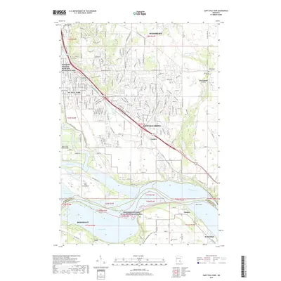
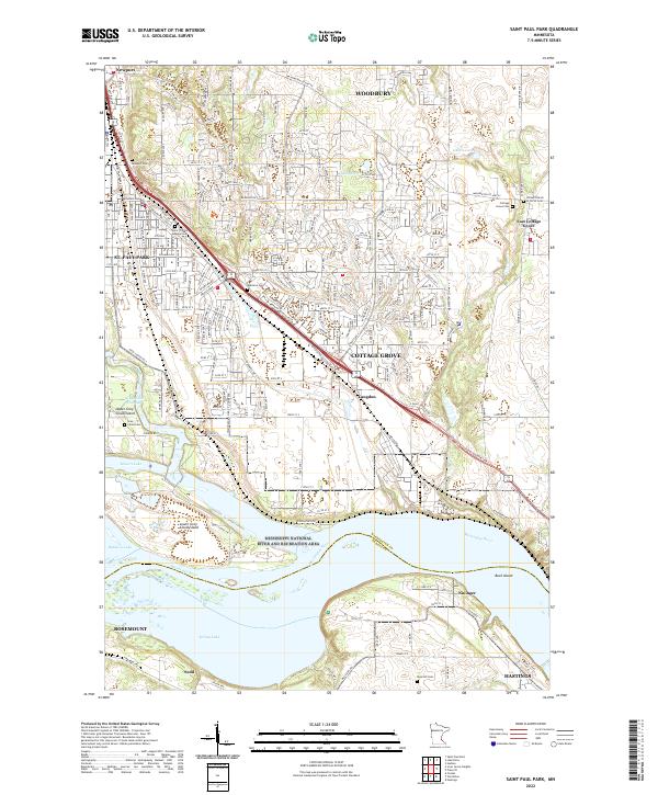 2022 Saint Paul Park2022 Print · USGSThe Mississippi River corridor south of the Twin Cities is shown here during its modern suburban development and conservation era. Researchers can trace family history through numerous burial sites like Atkinson Cem and Grey Cloud Cem or explore the river islands of Upper Grey Cloud Island.
 - 2022 Map of Hastings, 2022 Print
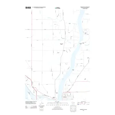
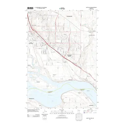
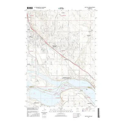
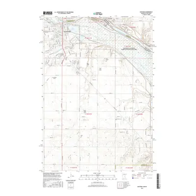
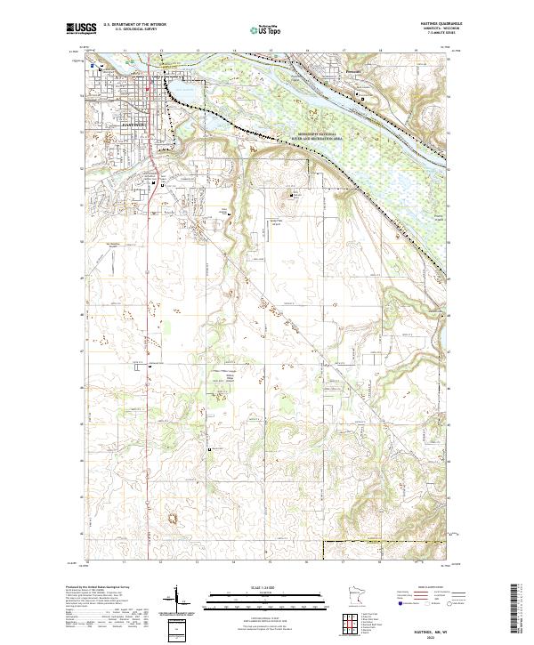 2022 Hastings2022 Print · USGSHastings and the river confluence at the Minnesota-Wisconsin border are detailed here in the early twenty-first century. Researchers can trace numerous local burial sites like Soldiers and Sailors Cem or Marsh Cem, and locate small airfields such as Sandy Flats Airport.
End of results
Showing maps 1-15 of 15
Top cities near Denmark Township
- Saint Paul historical maps
- Woodbury historical maps
- Maplewood historical maps
- Inver Grove Heights historical maps
- Cottage Grove historical maps
- Hastings historical maps
See more
Top neighborhoods of Denmark Township
Frequently asked questions
- What are the different types of historical maps available for Denmark Township?
- What is the oldest map of Denmark Township?
- Where can I purchase historical maps of Denmark Township for my home or office?
- Where can I download high-res historical maps of Denmark Township?
- Are there historical topographic maps available for Denmark Township?
- Is there historical aerial imagery available for Denmark Township?
- Where are historical maps of Denmark Township sourced from?