Old Maps of Denmark Township, Minnesota for Metal Detecting
Plan your next treasure hunt with 28 historic maps of Denmark Township. Find old homesites, ghost towns, trails, and gathering spots that may be lost to time — perfect for identifying promising metal detecting locations.
- Locate forgotten sites: Uncover places like long-lost settlements, abandoned rail lines, or gathering spots.
- Plan better hunts: Use map overlays combined with LiDAR or satellite views to narrow in on historically rich areas.
- Made for detectorists: Thousands of hobbyists use these maps to discover relics, coins, and hidden history.
Use these historic maps to boost your research and find new opportunities beneath the surface of Denmark Township.
Denmark Township, MN maps
(28)- 1946 Map of Hudson, 1954 Print
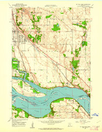
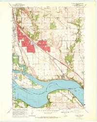
 1946 Hudson1954 Print · USGSThe riverfront communities of the St. Croix Valley are captured here just after the war, showing the distinct border towns of Wisconsin. Genealogists and local historians can trace the streets and benchmarks of Hudson, North Hudson, and Prescott.
 - 1949 Map of Hudson
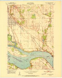
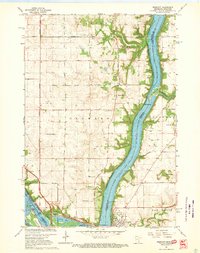
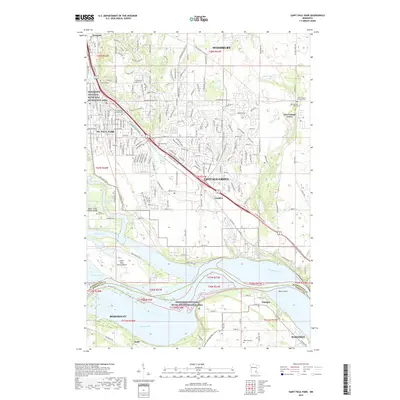
 1949 Hudson1949 Print · USGSThe riverfront communities of St. Croix and Pierce counties are captured here in the late 1940s as the rail-and-river economy flourished. Genealogists and historians can trace the paths of the Chicago St Paul Minneapolis and Omaha line through Hudson and down to the river junction at Prescott.
 - 1950 Map of St Paul Park, 1962 Print
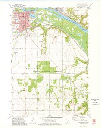
 1950 St Paul Park1962 Print · USGSThe Mississippi River valley south of St. Paul is captured here at mid-century, showing the rail-dependent corridor between Newport and Nininger. Researchers can trace the legacy of local families through the Cottage Grove Cem and Sunny Hill Sch.
 - 1951 Map of St Paul Park
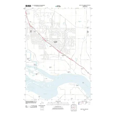
 1951 St Paul Park1951 Print · USGSSoutheast of the Twin Cities in the early 1950s, the river and rail lines dictated the growth of towns along the Mississippi. Researchers can trace family sites at Grey Cloud Cem, follow the rail junction at Langdon, or locate the historic riverfront settlement of Nininger.2 unique versions available
 - 1951 Map of Prescott
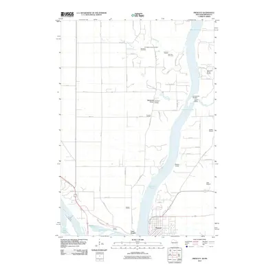
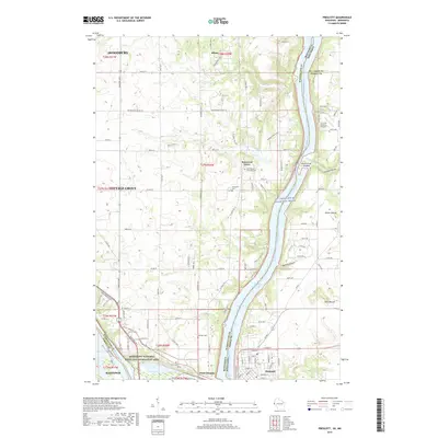
 1951 Prescott1951 Print · USGSThe river confluence at the Minnesota-Wisconsin border in the early fifties shows a landscape of busy waterways and rural school districts. Genealogists can locate family landmarks like the Johnson Cem and Barkley Sch near the Kinnickinnic River bluffs.4 unique versions available
 - 1953 Map of Saint Paul, 1964 Print
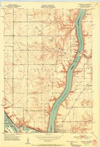
 1953 Saint Paul1964 Print · USGSThe Twin Cities and the Mississippi River valley are captured here at a mid-century turning point. Trace the early growth of Minneapolis and Saint Paul alongside landmarks like Lake Minnetonka and the St Croix River.4 unique versions available
 - 1957 Map of Hastings, 1959 Print
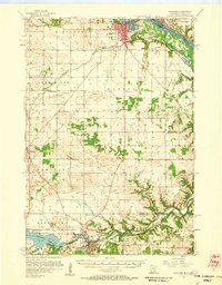 1957 Hastings1959 Print · USGSDakota County and the Mississippi riverfront appear in the late fifties as a hub of rail transit and agricultural industry. Genealogists and researchers can locate landmarks like St Lukes Cem, the Mineral Springs Sanatorium, and the tracks of the Chicago Great Western.2 unique versions available
 - 1959 Map of Saint Paul
 1959 Saint Paul1959 Print · USGSThe Twin Cities and southeastern Minnesota appear here in the late fifties, showing the peak of the rail era and post-war suburban growth. Genealogists can trace family footprints near Lake Minnetonka, the Univ Of Minn Rosemount Research Center, or the growing neighborhoods of Richfield.2 unique versions available
 - 1967 Map of St Paul Park, 1969 Print
 1967 St Paul Park1969 Print · USGSThe riverfront communities of Washington County are shown here in the late sixties as suburban growth meets traditional river industry. Local historians can trace early settlements and transport hubs like Langdon, Nininger, and the St Paul-Park Airport.5 unique versions available
 - 1967 Map of Prescott, 1969 Print
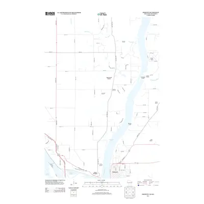
 1967 Prescott1969 Print · USGSThe confluence of the Mississippi and St. Croix Rivers is captured here in the late sixties, highlighting the border towns of Prescott and Point Douglas. Researchers can trace genealogical landmarks like Evergreen Cemetery and family-named features like Starks Mound.4 unique versions available
 - 1974 Map of Hastings, 1978 Print
 1974 Hastings1978 Print · USGSThe riverfront communities of Hastings and Prescott are shown in detail during the mid-seventies as they grew along the Mississippi and Vermillion rivers. Genealogists and local researchers can locate numerous historic sites, from the State Hospital Cem and St Boniface Ch to the OLD RAILROAD GRADE and local town halls.2 unique versions available
 - 1985 Map of Hastings
 1985 Hastings1985 Print · USGSThe river valleys of the St. Croix and Mississippi dominate this mid-eighties landscape as they border Minnesota and Wisconsin. You can trace the boundaries of the Prairie Island Indian Res, find the old rail alignments of the SOO LINE, and locate remote bluffs like Rattlesnake Point.
 - 1990 Map of Hastings, 1991 Print
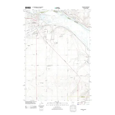
 1990 Hastings1991 Print · USGSThe river confluence at Hastings and Prescott is captured here in the final decade of the twentieth century, showing a landscape defined by the Mississippi River and St Croix River. Genealogists and historians can trace rail corridors like the Soo RR and find smaller settlements such as Miesville, Wacouta, and Diamond Bluff.
 - 2010 Map of Hastings, 2010 Print
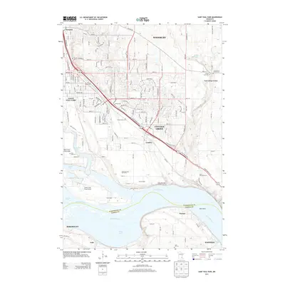
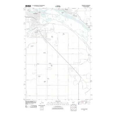 2010 Hastings2010 Print · USGSCovers Denmark Township, including Hastings, Prescott, and other nearby areas
 - 2010 Map of Saint Paul Park, 2010 Print
 2010 Saint Paul Park2010 Print · USGSCovers Denmark Township, including Woodbury, Cottage Grove, and other nearby areas
 - 2010 Map of Prescott, 2010 Print
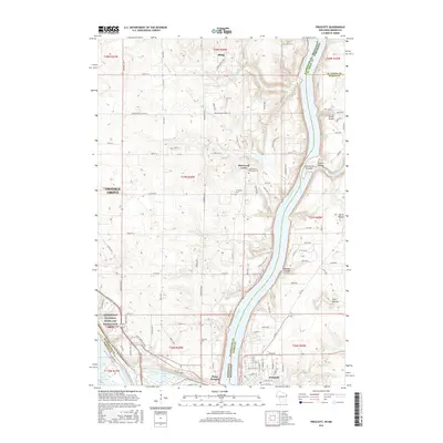
 2010 Prescott2010 Print · USGSCovers Denmark Township, including Woodbury, Cottage Grove, and other nearby areas
 - 2013 Map of Prescott, 2013 Print
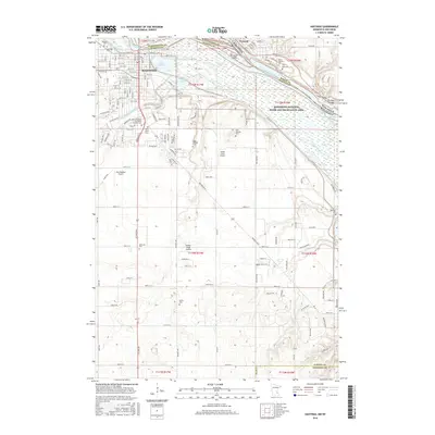
 2013 Prescott2013 Print · USGSCovers Denmark Township, including Woodbury, Cottage Grove, and other nearby areas
 - 2013 Map of Hastings, 2013 Print
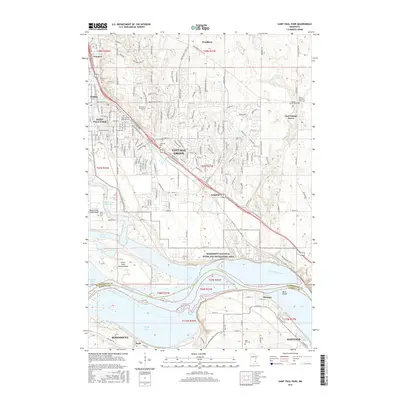
 2013 Hastings2013 Print · USGSCovers Denmark Township, including Hastings, Prescott, and other nearby areas
 - 2013 Map of Saint Paul Park, 2013 Print
 2013 Saint Paul Park2013 Print · USGSCovers Denmark Township, including Woodbury, Cottage Grove, and other nearby areas
 - 2015 Map of Prescott, 2015 Print
 2015 Prescott2015 Print · USGSCovers Denmark Township, including Woodbury, Cottage Grove, and other nearby areas
 - 2016 Map of Saint Paul Park, 2016 Print
 2016 Saint Paul Park2016 Print · USGSCovers Denmark Township, including Woodbury, Cottage Grove, and other nearby areas
 - 2016 Map of Hastings, 2016 Print
 2016 Hastings2016 Print · USGSCovers Denmark Township, including Hastings, Prescott, and other nearby areas
 - 2019 Map of Prescott, 2019 Print
 2019 Prescott2019 Print · USGSCovers Denmark Township, including Woodbury, Cottage Grove, and other nearby areas
 - 2019 Map of Saint Paul Park, 2019 Print
 2019 Saint Paul Park2019 Print · USGSCovers Denmark Township, including Woodbury, Cottage Grove, and other nearby areas
 - 2019 Map of Hastings, 2019 Print
 2019 Hastings2019 Print · USGSCovers Denmark Township, including Hastings, Prescott, and other nearby areas
Showing maps 1-25 of 28
Top cities near Denmark Township
- Saint Paul historical maps
- Woodbury historical maps
- Maplewood historical maps
- Inver Grove Heights historical maps
- Cottage Grove historical maps
- Hastings historical maps
See more
Top neighborhoods of Denmark Township
Frequently asked questions
- What are the different types of historical maps available for Denmark Township?
- What is the oldest map of Denmark Township?
- Where can I purchase historical maps of Denmark Township for my home or office?
- Where can I download high-res historical maps of Denmark Township?
- Are there historical topographic maps available for Denmark Township?
- Is there historical aerial imagery available for Denmark Township?
- Where are historical maps of Denmark Township sourced from?