Loading...
Loading map...2022 Map of Hastings
USGS Topo · Published 2022About this map
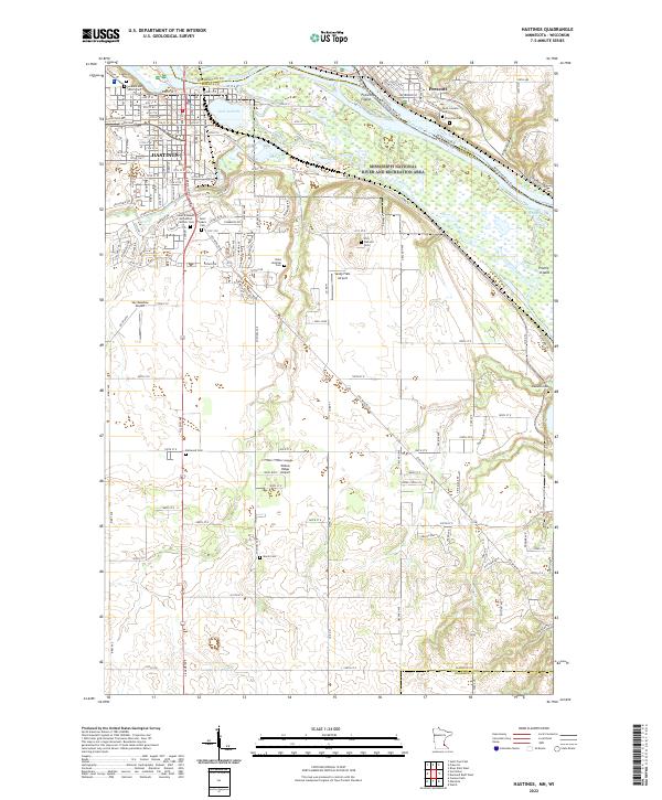
Hastings sits at a critical hydrologic junction where the Mississippi River meets the Vermillion River, creating a complex landscape of islands and sloughs such as Prescott Island and Truedale Slough. This modern survey documents the extensive local burial grounds that reflect the area's deep community history, including the Lakeside Cem, Soldiers and Sailors Cem, and several denominational sites like the Saint Elizabeth Ann Seton Catholic Cem and Irish Catholic Cem.
Find a feature on this map
54 named features on this map. Tap any name to fly to it.
Don’t see what you’re looking for? This feature index may not catch every label — zoom into the map to look around manually.
Map Details
Date Portrayed2022
Date Published2022
PublisherU.S. Geological Survey
Map TypeTopographic
Scale1:24000
Physical Dimensions24 x 29 inches
Editions of this 2022 Hastings Map
This is the sole edition of this map. No revisions or reprints were ever made.
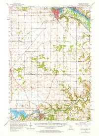
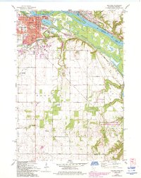
Historical Maps of Denmark Township Through Time
5 maps found


Featured Locations
Source Details
SourceU.S. Geological Survey
CopyrightPublic Domain