Loading...
Loading map...1974 Map of Hastings
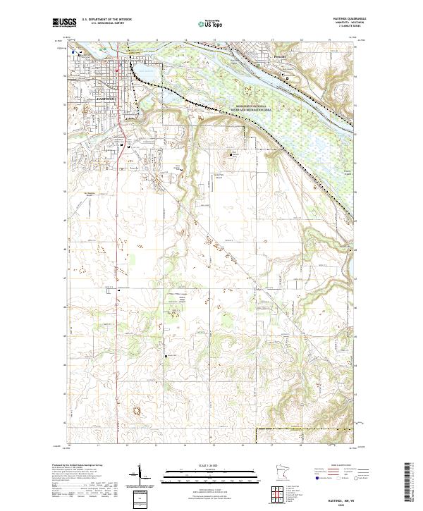
USGS Topo · Published 1993About this map
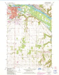
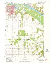
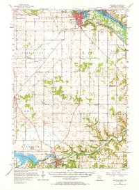
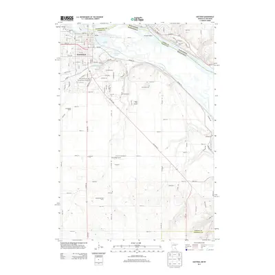
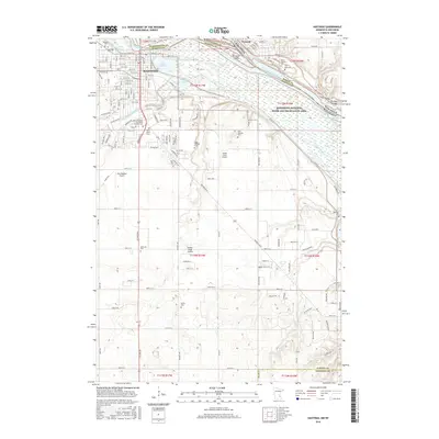
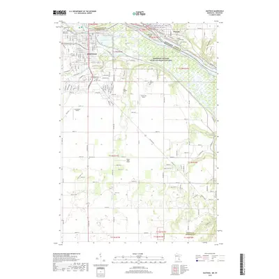
The confluence of the Mississippi River and the Vermillion River dominates this landscape, where the urban character of Hastings meets the expansive bottomlands of Marsh and Prairie Island. The 1974 survey, updated with 1991 revisions shown in purple, illustrates the mid-century expansion of the city around the historic core near the Courthouse and City Hall. Significant institutional history is represented by the sprawling State Hospital grounds, which includes its own State Hospital Cem and Trailer Park.
Find a feature on this map
59 named features on this map. Tap any name to fly to it.
Don’t see what you’re looking for? This feature index may not catch every label — zoom into the map to look around manually.
Map Details
Date Portrayed1974
Date Published1993
PublisherU.S. Geological Survey
Map TypeTopographic
Scale1:24,000
Physical Dimensions21.53 x 27.23 inches
Editions of this 1974 Hastings Map
2 editions found
Historical Maps of Hastings Through Time
9 maps found


Featured Locations
Source Details
SourceU.S. Geological Survey
CopyrightPublic Domain