
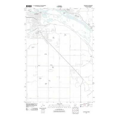
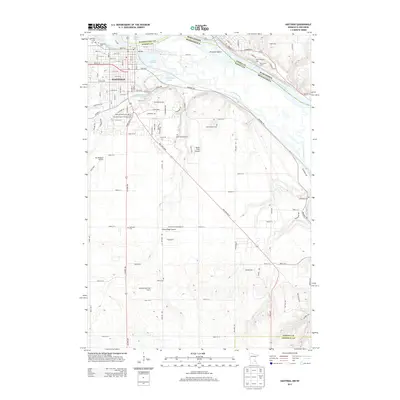
Loading...
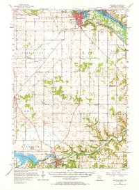
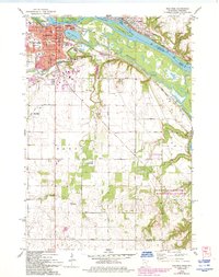
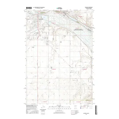
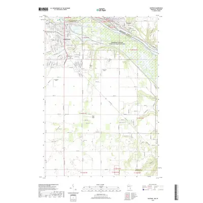
Loading map...1985 Map of Hastings
USGS Topo · Published 1985About this map
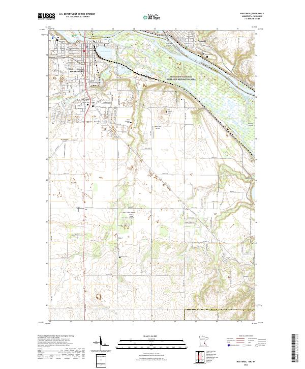
The confluence of the St Croix River and the Mississippi River anchors this 1985 survey, showing a landscape defined by significant water systems and the state boundary between Minnesota and Wisconsin. Centered on Hastings, the map traces the sprawling river islands like Sturgeon Island and Diamond Island, while highlighting large-scale conservation and indigenous lands including the Prairie Island Indian Res and the Richard J Dorer Hardwood State Forest.
Find a feature on this map
162 named features on this map. Tap any name to fly to it.
Don’t see what you’re looking for? This feature index may not catch every label — zoom into the map to look around manually.
Map Details
Date Portrayed1985
Date Published1985
PublisherU.S. Geological Survey
Map TypeTopographic
Scale1:100,000
Physical Dimensions21.53 x 27.23 inches
Editions of this 1985 Hastings Map
This is the sole edition of this map. No revisions or reprints were ever made.
Historical Maps of Woodbury Through Time
9 maps found

Featured Locations
Source Details
SourceU.S. Geological Survey
CopyrightPublic Domain