Old Maps of Scandia, Minnesota for Metal Detecting
Plan your next treasure hunt with 45 historic maps of Scandia. Find old homesites, ghost towns, trails, and gathering spots that may be lost to time — perfect for identifying promising metal detecting locations.
- Locate forgotten sites: Uncover places like long-lost settlements, abandoned rail lines, or gathering spots.
- Plan better hunts: Use map overlays combined with LiDAR or satellite views to narrow in on historically rich areas.
- Made for detectorists: Thousands of hobbyists use these maps to discover relics, coins, and hidden history.
Use these historic maps to boost your research and find new opportunities beneath the surface of Scandia.
Scandia, MN maps
(45)- 1900 Map of St Croix Dalles
 1900 St Croix Dalles1900 Print · USGSThe river gorge at the Wisconsin-Minnesota border comes alive in this late nineteenth-century survey, showing the twin hubs of the Dalles before modern expansion. Genealogists can trace family roots in Dresser Junction, El Salem, and the scattered lakefront farms of Farmington.
 - 1901 Map of St Croix Dalles
 1901 St Croix Dalles1901 Print · USGSThe river-border between Wisconsin and Minnesota was a hub of rail activity and river commerce at the start of the twentieth century. Genealogists and rail historians can trace the paths of the St. Paul and Duluth R. R. through Shafer and Taylors Falls, or locate old settlements like Franconia Station and Dresser Junction.6 unique versions available
 - 1948 Map of Stillwater, 1962 Print
 1948 Stillwater1962 Print · USGSThe St. Croix River valley comes to life in the late 1940s, capturing the river border between Minnesota and Wisconsin. Trace local genealogy and geography through the streets of Houlton, the Houlton Cem, and the historic Marine Ferry crossing.2 unique versions available
 - 1949 Map of Stillwater
 1949 Stillwater1949 Print · USGSThe St Croix River valley in the late 1940s shows the border settlements of Minnesota and Wisconsin before modern sprawl. Researchers can trace the layout of Houlton, find the Houlton Cem, and locate the Boy Scout Camp along the wooded river bluffs.2 unique versions available
 - 1953 Map of Stillwater, 1980 Print
 1953 Stillwater1980 Print · USGSThe Twin Cities and the St. Croix Valley are captured in this mid-century survey as the interstate era began to transform the Upper Midwest. Genealogists and historians can trace the rail-and-river geography of Stillwater, locate landmarks in Anoka, or explore the sprawling St Croix State Park.
 - 1954 Map of Hugo, 1956 Print
 1954 Hugo1956 Print · USGSHugo and the surrounding townships of Washington County are shown here in the mid-fifties, dominated by small lakes and the Northern Pacific rail line. Genealogists can trace rural life through numerous legacy sites like St Johns Cem and old schoolhouses including Kenyon Sch and Lynch Sch.2 unique versions available
 - 1955 Map of St. Croix Dalles
 1955 St. Croix Dalles1955 Print · USGSThe river valley along the Wisconsin and Minnesota border thrived in the mid-fifties as a hub of rail traffic and early Cold War defense. You can trace the Minneapolis St Paul and Sault Ste Marie rail lines and locate the Osceola Air Force Station or the abandoned Ubet Sch.4 unique versions available
 - 1955 Map of Marine, 1956 Print
 1955 Marine1956 Print · USGSThe St. Croix River valley in the mid-1950s shows a landscape of small settlements and glacial lakes just as outdoor recreation was expanding. Genealogists can trace family connections at Otisville and Copas, or locate vanished landmarks like the Square Lake Sch (Abandoned).
 - 1955 Map of Forest Lake, 1957 Print
 1955 Forest Lake1957 Print · USGSChisago County's lake country is captured in the mid-fifties, showing the rail-linked towns of Lindstrom and Center City. Genealogists can find the Goose Lake School, Glader Cemetery, and the abandoned Meadow View School.3 unique versions available
 - 1955 Map of Stillwater, 1965 Print
 1955 Stillwater1965 Print · USGSThe Upper St. Croix Valley and the growing Twin Cities area are shown here during the mid-fifties, before the interstate era transformed the regional commute. You can trace the lines of the Northern Pacific RR through towns like Rush City or locate the Saint Croix Indian Reservation.
 - 1958 Map of Stillwater
 1958 Stillwater1958 Print · USGSThe Upper Mississippi and St. Croix River valleys appear in the mid-fifties as the Twin Cities expanded north. Genealogists can locate family landmarks like Oak Park Cem, Saint Michael Church, and the Soo Line RR rail corridors.2 unique versions available
 - 1965 Map of Stillwater
 1965 Stillwater1965 Print · USGSThe Twin Cities and the St. Croix Valley are mapped here during a period of significant post-war growth and industrial transit. Genealogists and historians can trace rail lines like the Northern Pacific RR through towns such as Rush City, Amery, and Balsam Lake.
 - 1967 Map of Marine on St Croix, 1969 Print
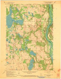 1967 Marine on St Croix1969 Print · USGSAlong the St. Croix River valley in the late sixties, this area shows a landscape defined by glacial lakes and river bluffs. Trace local roots through Marine on St Croix, the Elim Cem, or the early boundaries of William O'Brien State Park.3 unique versions available
 - 1967 Map of Hugo, 1969 Print
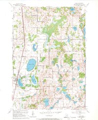 1967 Hugo1969 Print · USGSHugo and the surrounding lake country of Washington County are shown here in the late sixties as the region balanced its rural roots with growing recreation. Researchers can trace the Northern Pacific rail line through Hugo, locate the St Johns Cem, or find early sites like the Veterans Rest Camp.3 unique versions available
 - 1974 Map of St. Croix Dalles SW, 1976 Print
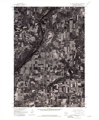 1974 St. Croix Dalles SW1976 Print · USGSPolk County farmland and riverfront settlements appear in high-altitude detail during the mid-1970s. Trace the historical footprints of Osceola and Dresser to see how these communities and their surrounding fields were organized decades ago.
 - 1974 Map of Scandia, 1976 Print
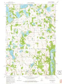 1974 Scandia1976 Print · USGSThe lakeside community of Scandia and the St. Croix River valley are captured in the mid-1970s before modern development. Researchers can trace family sites near Elim Cem, St Francis Xavier Ch, and the banks of Bone Lake.3 unique versions available
 - 1974 Map of Forest Lake, 1976 Print
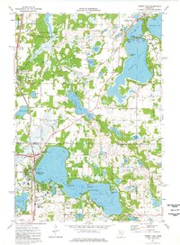 1974 Forest Lake1976 Print · USGSThe interconnected waters of the Chisago Lakes area are captured in the mid-seventies, showing the growth of Forest Lake and Chisago City. Local researchers can locate family landmarks like the Scandinavian Cemetery, St Pauls Church, and the old Drive-in Theater.2 unique versions available
 - 1975 Map of Stillwater
 1975 Stillwater1975 Print · USGSThe Twin Cities and the St. Croix Valley are captured in the mid-seventies, showing the urban growth of Minneapolis and St Paul. Researchers can trace old rail corridors of the Northern Pacific RR and locate tribal lands at the Mille Lacs Indian Reservation.2 unique versions available
 - 1978 Map of Osceola, 1979 Print
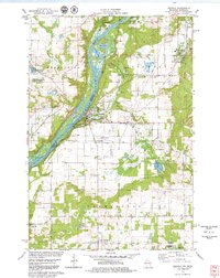 1978 Osceola1979 Print · USGSThe St. Croix River valley in the late seventies reveals a landscape of riverside villages and conservation lands. Genealogists can locate Ramsey Cem and Pleasant Prairie Cem, while rail enthusiasts can trace the Soo Line through Dresser.3 unique versions available
 - 1985 Map of Stillwater
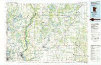 1985 Stillwater1985 Print · USGSThe St. Croix River valley in the mid-1980s reveals a borderland of river towns and conservation areas. Trace the rail lines of the Soo Line, locate the Minnesota State Prison, and explore the numerous wildlife areas like Cylon Marsh.2 unique versions available
 - 2010 Map of Marine on St. Croix, 2010 Print
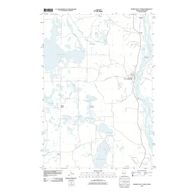 2010 Marine on St. Croix2010 Print · USGSThe Saint Croix River valley is captured here in the early twenty-first century, showing a landscape defined by glacial lakes and riverfront settlements. Researchers can locate local landmarks like Elim Cemetery, the Marine on Saint Croix Post Office, and Big Marine Lake.
 - 2010 Map of Osceola, 2010 Print
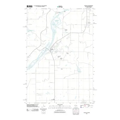 2010 Osceola2010 Print · USGSThe Wisconsin-Minnesota border at the start of the twenty-first century is defined here by the winding Saint Croix River and its riverside villages. Genealogists and local researchers can locate family plots at Ramsey Cemetery or trace the early development of Osceola and Dresser.
 - 2010 Map of Scandia, 2010 Print
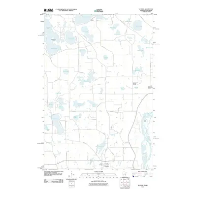 2010 Scandia2010 Print · USGSScandia and its surrounding lakelands are documented here during the first decade of the new millennium. Family historians can locate several local burial grounds, including Glader Cemetery and the Saint Francis Xavier Catholic Cemetery.
 - 2010 Map of Hugo, 2010 Print
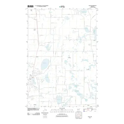 2010 Hugo2010 Print · USGSHugo and the surrounding lake country of Washington County are shown here in the early twenty-first century as suburban growth meets rural marshlands. Researchers can trace local heritage at Saint Johns Cemetery or locate landmarks like the Hugo Post Office and Kelly Farms Dam.
 - 2010 Map of Forest Lake, 2010 Print
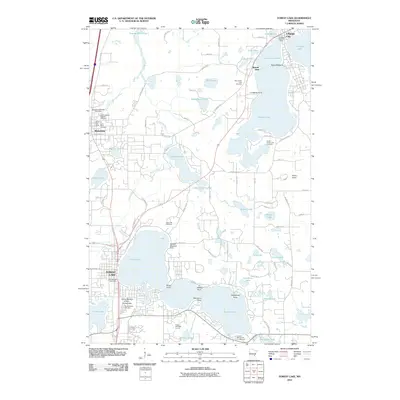 2010 Forest Lake2010 Print · USGSForest Lake and its surrounding communities are shown during a period of steady growth and recreation in the early 2000s. Genealogists and local historians can trace family plots and landmarks at the Scandinavian Cemetery, Waldref Seaplane Base, or the Wyoming Post Office.
Showing maps 1-25 of 45
Top cities near Scandia
- Maplewood historical maps
- White Bear Lake historical maps
- Lino Lakes historical maps
- Stillwater historical maps
- Vadnais Heights historical maps
- White Bear Township historical maps
See more
Top neighborhoods of Scandia
Frequently asked questions
- What are the different types of historical maps available for Scandia?
- What is the oldest map of Scandia?
- Where can I purchase historical maps of Scandia for my home or office?
- Where can I download high-res historical maps of Scandia?
- Are there historical topographic maps available for Scandia?
- Is there historical aerial imagery available for Scandia?
- Where are historical maps of Scandia sourced from?