2000s (21st Century) Maps of Scandia, Minnesota
Explore 21 historic maps of Scandia from the 2000s (21st Century). These maps offer a rare glimpse into what life looked like during the 2000s — showing old roads, neighborhoods, homes, and landmarks that have changed or disappeared over time.
Whether you're researching your family's past, planning a metal detecting trip, or studying how Scandia's landscape evolved across the 2000s, these high-resolution maps are a powerful tool for exploring the history of this region.
- Focus on a specific era: All maps on this page are from the 2000s, giving you a focused view of this time period.
- See what’s changed: Compare century-old streets, trails, and buildings to today's modern landscape using overlays and satellite layers.
- Research with precision: Use these maps for genealogy, historical research, land use analysis, or educational projects.
- View, download, or print: Maps are fully viewable online in high resolution, and can be downloaded or printed for your own records.
Start exploring Scandia's history through authentic maps from the 2000s. This is your window into the past.
Scandia, MN maps
(21)- 2010 Map of Marine on St. Croix, 2010 Print
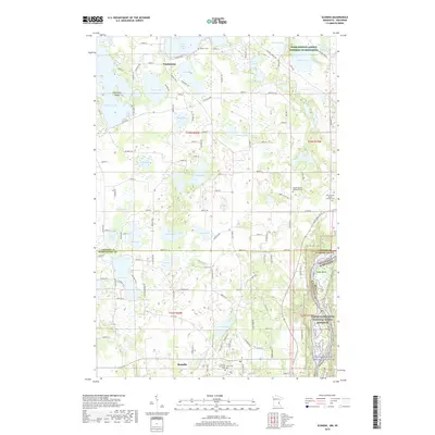
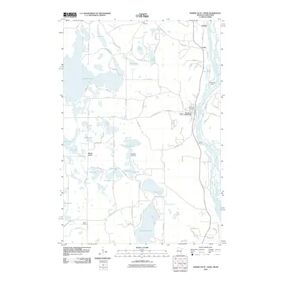 2010 Marine on St. Croix2010 Print · USGSCovers Scandia, including Marine on Saint Croix, Copas, and other nearby areas
 - 2010 Map of Scandia, 2010 Print
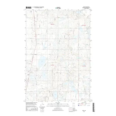
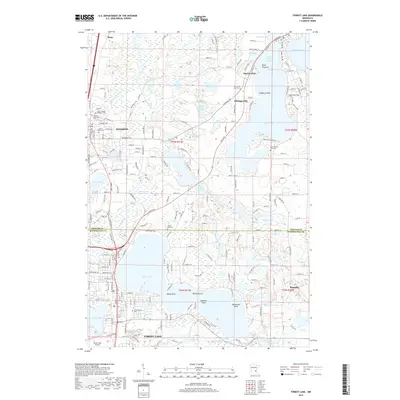
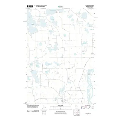 2010 Scandia2010 Print · USGSCovers Scandia, including Chisago City, Lindström, and other nearby areas
 - 2010 Map of Hugo, 2010 Print
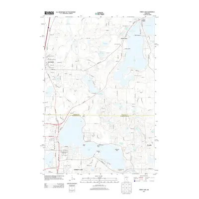
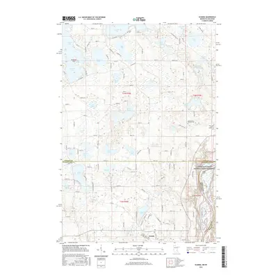
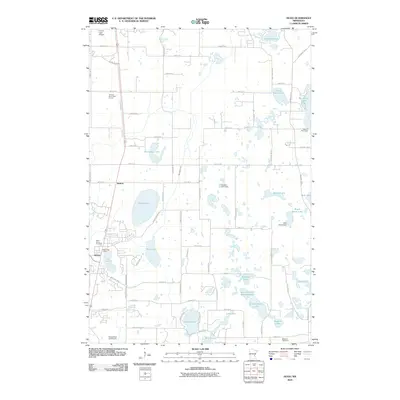 2010 Hugo2010 Print · USGSCovers Scandia, including Hugo, Forest Lake, and other nearby areas
 - 2010 Map of Forest Lake, 2010 Print
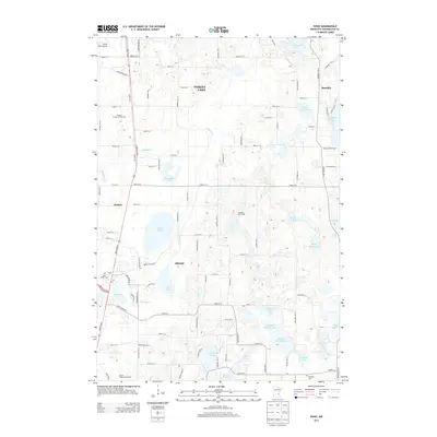
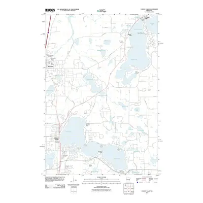 2010 Forest Lake2010 Print · USGSCovers Scandia, including Chisago City, Wyoming, and other nearby areas
 - 2013 Map of Scandia, 2013 Print
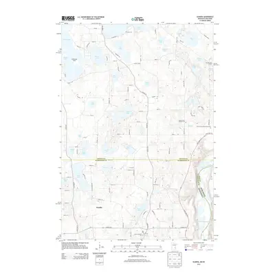 2013 Scandia2013 Print · USGSCovers Scandia, including Chisago City, Lindström, and other nearby areas
 - 2013 Map of Marine on St. Croix, 2013 Print
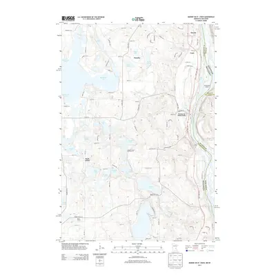 2013 Marine on St. Croix2013 Print · USGSCovers Scandia, including Marine on Saint Croix, Copas, and other nearby areas
 - 2013 Map of Hugo, 2013 Print
 2013 Hugo2013 Print · USGSCovers Scandia, including Hugo, Forest Lake, and other nearby areas
 - 2013 Map of Forest Lake, 2013 Print
 2013 Forest Lake2013 Print · USGSCovers Scandia, including Chisago City, Wyoming, and other nearby areas
 - 2016 Map of Hugo, 2016 Print
 2016 Hugo2016 Print · USGSCovers Scandia, including Hugo, Forest Lake, and other nearby areas
 - 2016 Map of Marine on St. Croix, 2016 Print
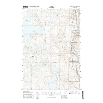 2016 Marine on St. Croix2016 Print · USGSCovers Scandia, including Marine on Saint Croix, Copas, and other nearby areas
 - 2016 Map of Scandia, 2016 Print
 2016 Scandia2016 Print · USGSCovers Scandia, including Chisago City, Lindström, and other nearby areas
 - 2016 Map of Forest Lake, 2016 Print
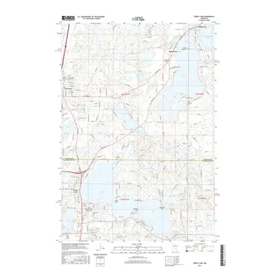 2016 Forest Lake2016 Print · USGSCovers Scandia, including Chisago City, Wyoming, and other nearby areas
 - 2019 Map of Forest Lake, 2019 Print
 2019 Forest Lake2019 Print · USGSCovers Scandia, including Chisago City, Wyoming, and other nearby areas
 - 2019 Map of Scandia, 2019 Print
 2019 Scandia2019 Print · USGSCovers Scandia, including Chisago City, Lindström, and other nearby areas
 - 2019 Map of Hugo, 2019 Print
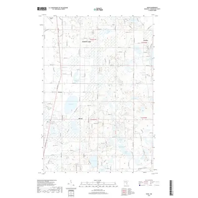 2019 Hugo2019 Print · USGSCovers Scandia, including Hugo, Forest Lake, and other nearby areas
 - 2019 Map of Marine on St. Croix, 2019 Print
 2019 Marine on St. Croix2019 Print · USGSCovers Scandia, including Marine on Saint Croix, Copas, and other nearby areas
 - 2022 Map of Osceola, 2022 Print
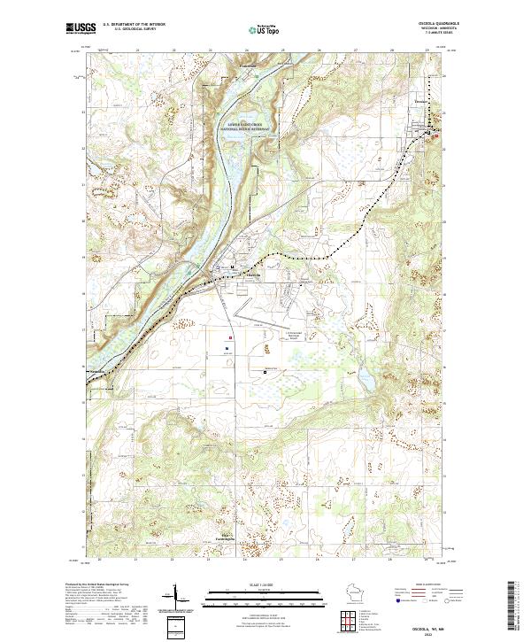 2022 Osceola2022 Print · USGSThe St. Croix River valley comes into sharp focus during the 2020s, revealing the modern layouts of Osceola, Dresser, and Franconia. Researchers can locate family sites at Mount Hope Cem or trace the protected wetlands of the Lower Saint Croix National Scenic Riverway.
 - 2022 Map of Hugo, 2022 Print
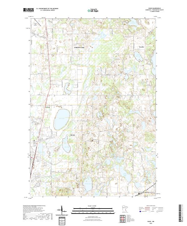 2022 Hugo2022 Print · USGSThe lakeside communities of Hugo and Forest Lake are shown here during their recent period of growth. Researchers can trace family history at Saint John's Cem or Walker Cem, and locate the small airfields and basins like Oneka Lake that define the local landscape.
 - 2022 Map of Scandia, 2022 Print
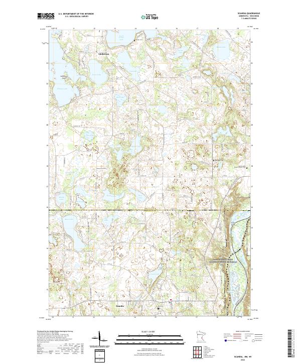 2022 Scandia2022 Print · USGSThe lake country of the Upper St. Croix Valley comes into focus in this contemporary survey of the Minnesota-Wisconsin border. Researchers can locate historic burial grounds like Glader Cem and Elim Cem alongside the protected Lower Saint Croix National Scenic Riverway.
 - 2022 Map of Forest Lake, 2022 Print
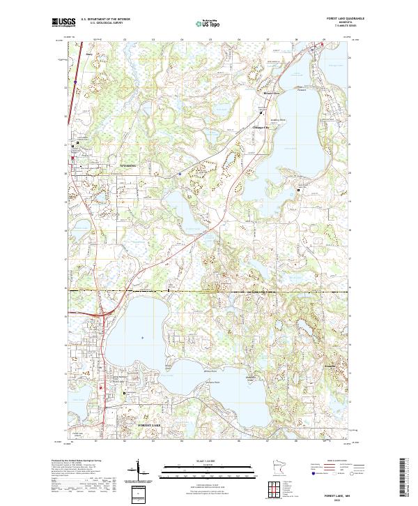 2022 Forest Lake2022 Print · USGSForest Lake and its surrounding chain of waters are captured here at a moment of modern residential growth north of the Twin Cities. Researchers can trace local heritage through numerous burial grounds like Scandinavian Cem and South Green Lake Cem, or locate family landmarks at Simmons Point and Bonnie Glen.
 - 2022 Map of Marine on St. Croix, 2022 Print
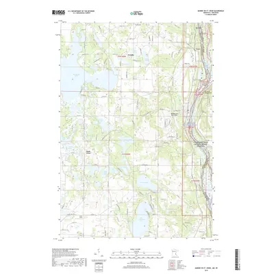
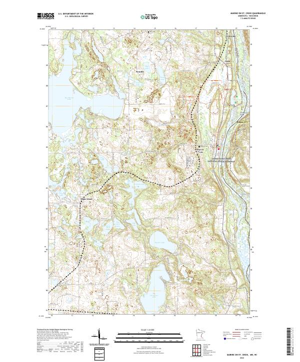 2022 Marine on St. Croix2022 Print · USGSThe river valley and glacial lake country of Washington County come into focus in this contemporary survey of the Minnesota-Wisconsin border. Researchers can trace the layout of historic settlements like Marine on St. Croix and Scandia, or locate family sites near Elim Cem and Big Marine Lake.
End of results
Showing maps 1-21 of 21
Top cities near Scandia
- Maplewood historical maps
- White Bear Lake historical maps
- Lino Lakes historical maps
- Stillwater historical maps
- Vadnais Heights historical maps
- White Bear Township historical maps
See more
Top neighborhoods of Scandia
Frequently asked questions
- What are the different types of historical maps available for Scandia?
- What is the oldest map of Scandia?
- Where can I purchase historical maps of Scandia for my home or office?
- Where can I download high-res historical maps of Scandia?
- Are there historical topographic maps available for Scandia?
- Is there historical aerial imagery available for Scandia?
- Where are historical maps of Scandia sourced from?