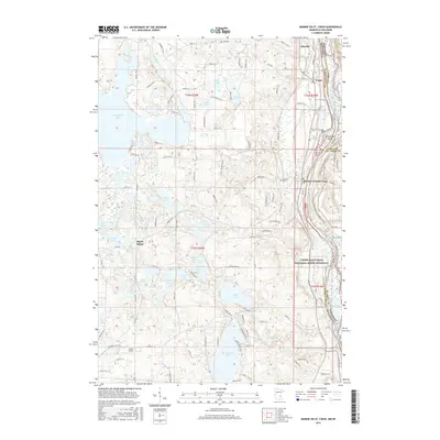
2016 Map of Marine on St. Croix
USGS Topo · Published 2016About this map
The St. Croix River valley defines this landscape on the border of Minnesota and Wisconsin, where the Lower Saint Croix National Scenic Riverway preserves the shoreline and its unique features like Greenburg Island. In the riverside village of Marine on Saint Croix and the nearby settlement of Copas, the map reveals the layout of residential streets and historic sites such as Oakland Cem.
Find a feature on this map
108 named features on this map. Tap any name to fly to it.
Don’t see what you’re looking for? This feature index may not catch every label — zoom into the map to look around manually.
Map Details
Editions of this 2016 Marine on St. Croix Map
This is the sole edition of this map. No revisions or reprints were ever made.
Other maps of this area

1900 · St Croix Dalles
USGS Topo · 1:62,500

1901 · St Croix Dalles
USGS Topo · 1:62,500

1948 · New Richmond
USGS Topo · 1:62,500

1948 · Stillwater
USGS Topo · 1:62,500

1949 · New Richmond
USGS Topo · 1:62,500

1949 · Stillwater
USGS Topo · 1:62,500

1951 · White Bear Lake East
USGS Topo · 1:24,000

1951 · Stillwater
USGS Topo · 1:24,000

1953 · Stillwater
USGS Topo · 1:250,000

1954 · Hugo
USGS Topo · 1:24,000