
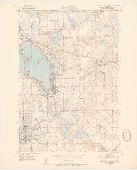
1951 Map of White Bear Lake East
USGS Topo · Published 1952About this map
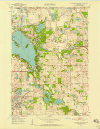
White Bear Lake dominates the western portion of this 1951 survey, surrounded by established lakeside communities like Mahtomedi, Birchwood, and Dellwood. The landscape is a complex network of glacial kettle lakes and wetlands, connected by the rail lines of the Northern Pacific and the Minneapolis and Sault Ste Marie. In the southern half, the growing grid of North St Paul and the settlement of Willernie show post-war residential expansion pressing into former farmland. Institutional landmarks such as the Jesuit Retreat House and the Galla Country Club are interspersed with smaller localized sites like the White Bear Airport and Lakeview Cem. The presence of several decommissioned educational buildings, including School No 11 (Abandoned) and Welander Sch (Abandoned), provides a specific look at the consolidation of rural school districts during this era.
Find a feature on this map
59 named features on this map. Tap any name to fly to it.
Don’t see what you’re looking for? This feature index may not catch every label — zoom into the map to look around manually.
Map Details
Editions of this 1951 White Bear Lake East Map
3 editions found
Other maps of this area

1896 · St. Paul
USGS Topo · 1:62,500

1902 · White Bear
USGS Topo · 1:62,500

1946 · Hudson
USGS Topo · 1:62,500

1948 · Stillwater
USGS Topo · 1:62,500

1949 · Hudson
USGS Topo · 1:62,500

1949 · Stillwater
USGS Topo · 1:62,500

1949 · Lake Elmo
USGS Topo · 1:24,000

1949 · Hudson
USGS Topo · 1:24,000

1950 · Lake Elmo
USGS Topo · 1:24,000

1950 · Hudson
USGS Topo · 1:24,000