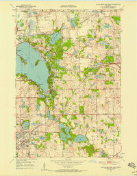
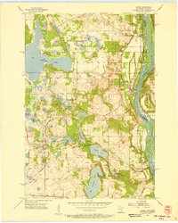
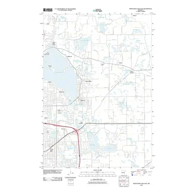
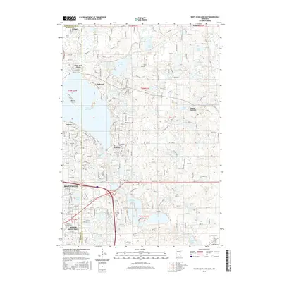
1951 Map of White Bear Lake East
USGS Topo · Published 1958About this map
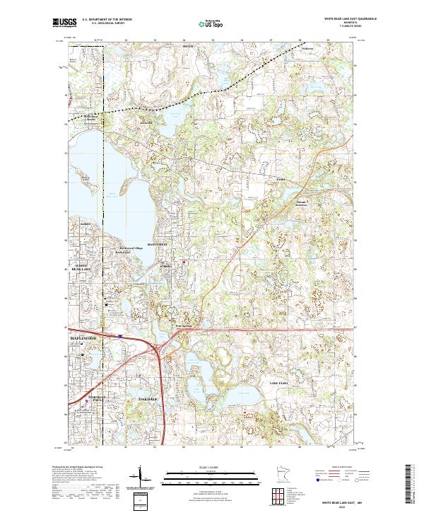
White Bear Lake dominates this 1951 landscape, its eastern shoreline defined by the clustered developments of Mahtomedi, Birchwood, and Dellwood. The area reflects a mid-century transition from lakeside recreation to permanent suburban settlement, evidenced by the Yacht Club and Galis Country Club sitting alongside expanding residential grids. Further inland, the terrain is pocketed with numerous smaller water bodies such as Lake Jane, Lake De Montreville, and Lake Olson, which surround the Jesuit Retreat House.
Find a feature on this map
56 named features on this map. Tap any name to fly to it.
Don’t see what you’re looking for? This feature index may not catch every label — zoom into the map to look around manually.
Map Details
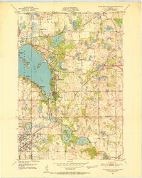
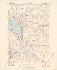
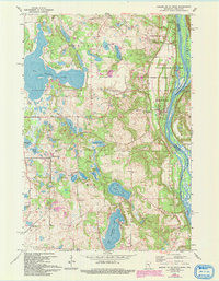
Editions of this 1951 White Bear Lake East Map
3 editions found
Historical Maps of Maplewood Through Time
16 maps found
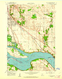
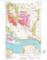
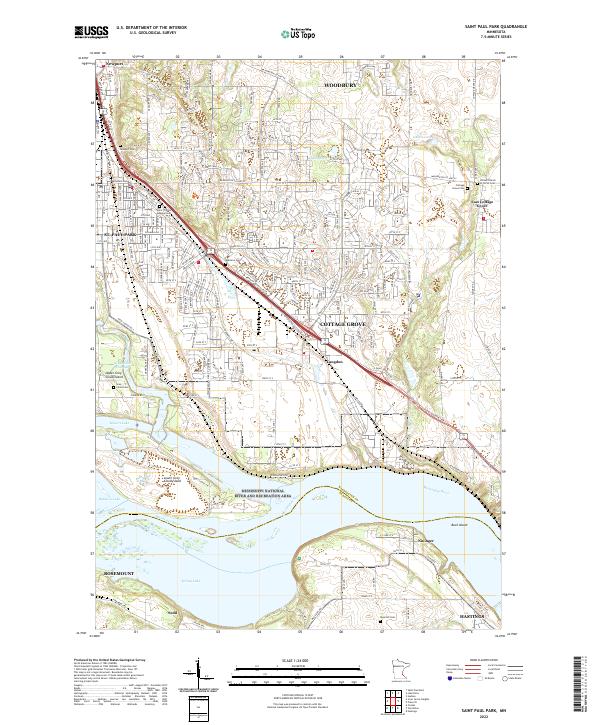
1950 St Paul Park
Washington County, MN
1951 White Bear Lake East
Washington County, MN
1955 Marine
Washington County, MN
1967 Marine On St. Croix
Washington County, MN
1967 St Paul Park
Washington County, MN
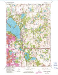
1967 White Bear Lake East
Washington County, MN
2010 Saint Paul Park
Washington County, MN
2010 White Bear Lake East
Washington County, MN
2013 Saint Paul Park
Washington County, MN
2013 White Bear Lake East
Washington County, MN
2016 Saint Paul Park
Washington County, MN
2016 White Bear Lake East
Washington County, MN
2019 Saint Paul Park
Washington County, MN
2019 White Bear Lake East
Washington County, MN
2022 Saint Paul Park
Washington County, MN
2022 White Bear Lake East
Washington County, MN