Old Maps of Longshot, Mississippi for Metal Detecting
Plan your next treasure hunt with 11 historic maps of Longshot. Find old homesites, ghost towns, trails, and gathering spots that may be lost to time — perfect for identifying promising metal detecting locations.
- Locate forgotten sites: Uncover places like long-lost settlements, abandoned rail lines, or gathering spots.
- Plan better hunts: Use map overlays combined with LiDAR or satellite views to narrow in on historically rich areas.
- Made for detectorists: Thousands of hobbyists use these maps to discover relics, coins, and hidden history.
Use these historic maps to boost your research and find new opportunities beneath the surface of Longshot.
Longshot, MS maps
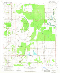
(11)- 1939 Map of Choctaw, 1965 Print
 1939 Choctaw1965 Print · USGSBolivar County and Washington County are captured here at the end of the 1930s, showing a Delta landscape transformed by drainage canals and rail. You can trace early twentieth-century settlement patterns through landmarks like Mt Olive Ch, the Illinois Central Railroad corridor, and the community at Shaw.
 - 1953 Map of Greenwood, 1966 Print
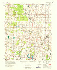
 1953 Greenwood1966 Print · USGSThe Mississippi Delta in the mid-fifties is captured here as a thriving network of river towns, railroads, and oxbow lakes. Researchers can trace the legacy of the Illinois Central Railroad and locate landmarks like the State Penal Farm and Greenville Air Force Base.5 unique versions available
 - 1956 Map of Greenwood
 1956 Greenwood1956 Print · USGSThe Mississippi Delta in the mid-fifties is captured here during a period of significant military and agricultural activity. Researchers can trace the rail lines of the Illinois Central RR, find the Greenville Air Force Base, or locate the State Penal Farm.
 - 1967 Map of Lobdell, 1968 Print
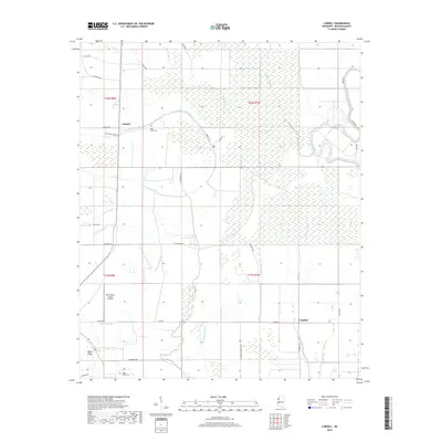
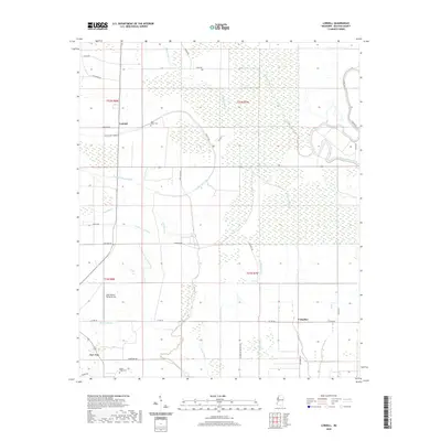
 1967 Lobdell1968 Print · USGSBolivar County in the late sixties remained a landscape defined by its bayous and plantation-era boundaries. Genealogists and historians can trace the Illinois Central rail line through Lobdell, locating local landmarks like Rice Chapel and the Polk-Royal Cem.2 unique versions available
 - 1969 Map of Choctaw
 1969 Choctaw1969 Print · USGSBolivar County at the end of the 1960s reveals a Delta landscape shaped by complex bayou drainage and a dense network of country churches. Researchers can trace family sites near Stringtown and Meltonia or locate landmarks like the Gospel Temple and Indian Mound 26.
 - 1983 Map of Greenwood
 1983 Greenwood1983 Print · USGSThe Mississippi Delta in the early eighties shows a landscape of rail-connected towns and vast river systems. Genealogists and historians can trace family roots in towns like Mound Bayou, Ruleville, and the grounds of Mississippi Valley State University.
 - 2012 Map of Lobdell, 2012 Print
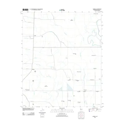 2012 Lobdell2012 Print · USGSCovers Longshot, including Dahomy, Lobdell, and other nearby areas
 - 2015 Map of Lobdell, 2015 Print
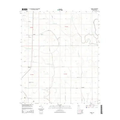 2015 Lobdell2015 Print · USGSCovers Longshot, including Dahomy, Lobdell, and other nearby areas
 - 2018 Map of Lobdell, 2018 Print
 2018 Lobdell2018 Print · USGSCovers Longshot, including Dahomy, Lobdell, and other nearby areas
 - 2020 Map of Lobdell, 2020 Print
 2020 Lobdell2020 Print · USGSCovers Longshot, including Dahomy, Lobdell, and other nearby areas
 - 2024 Map of Lobdell, 2024 Print
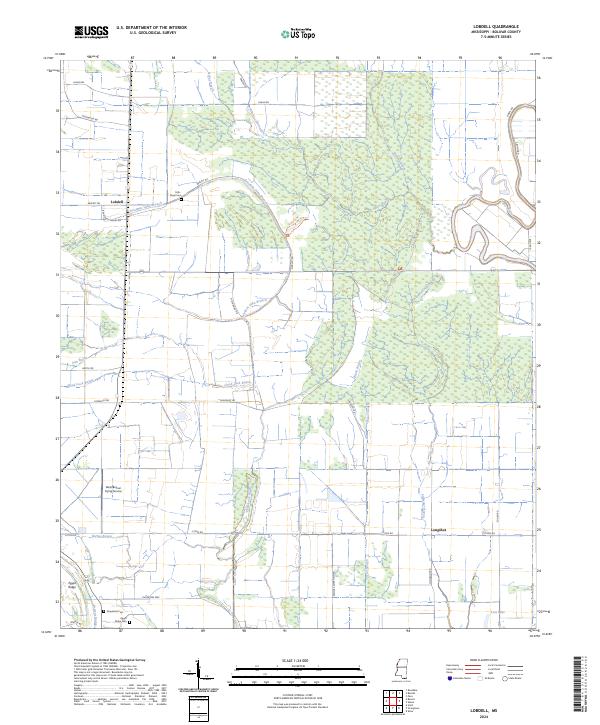 2024 Lobdell2024 Print · USGSBolivar County in the modern era continues its legacy of Delta agriculture and wetland conservation. Researchers can trace family history through sites like Polk - Royal Cem and Grapeland Cem, or explore the winding banks of Bogue Phalia and Good Luck Bayou.
End of results
Showing maps 1-11 of 11
Top cities near Longshot
- Greenville historical maps
- Cleveland historical maps
- Mound Bayou historical maps
- Shaw historical maps
- Rosedale historical maps
- Metcalfe historical maps
See more
Frequently asked questions
- What are the different types of historical maps available for Longshot?
- What is the oldest map of Longshot?
- Where can I purchase historical maps of Longshot for my home or office?
- Where can I download high-res historical maps of Longshot?
- Are there historical topographic maps available for Longshot?
- Is there historical aerial imagery available for Longshot?
- Where are historical maps of Longshot sourced from?