Old Maps of Holly Grove, Mississippi for Academic Research
Study the evolution of Holly Grove with 13 high-resolution historic maps. Whether you're teaching, researching, or modeling changes in land use, these maps provide essential visual documentation of urban, environmental, and geographic change.
- Analyze long-term change: Track patterns in development, transportation, and natural features.
- Ideal for environmental or urban studies: Support academic projects with primary historical map data.
- Use in the classroom or lab: Educators and researchers rely on these maps to bring historical context to life.
These maps are a powerful tool for teaching, research, and visualizing how Holly Grove has changed over the decades.
Holly Grove, MS maps
(13)- 1940 Map of Seven Pines
 1940 Seven Pines1940 Print · USGSThe Yazoo River Delta and Carroll County hills meet in the 1940s, showing a landscape of river-bend towns and rural schools. Genealogists can locate family landmarks like Matthews Cem, Smith Chapel, and the riverside rail stop at Sidon.
 - 1953 Map of Greenwood, 1966 Print
 1953 Greenwood1966 Print · USGSThe Mississippi Delta in the mid-fifties is captured here as a thriving network of river towns, railroads, and oxbow lakes. Researchers can trace the legacy of the Illinois Central Railroad and locate landmarks like the State Penal Farm and Greenville Air Force Base.5 unique versions available
 - 1956 Map of Greenwood
 1956 Greenwood1956 Print · USGSThe Mississippi Delta in the mid-fifties is captured here during a period of significant military and agricultural activity. Researchers can trace the rail lines of the Illinois Central RR, find the Greenville Air Force Base, or locate the State Penal Farm.
 - 1957 Map of Seven Pines, 1965 Print
 1957 Seven Pines1965 Print · USGSThe Yazoo River bottomlands and Carroll County bluffs meet in the late fifties, showing a landscape defined by oxbow lakes and rural railroad towns. Genealogists can trace family names through dozens of upland sites like McMillian Cem and Harmony Ch & Cem.
 - 1958 Map of Seven Pines
 1958 Seven Pines1958 Print · USGSThe Yazoo River Delta meets the Carroll County hills in the late fifties, showcasing a landscape of oxbow lakes and upland ridges. Researchers can locate Indian Mounds, the Greenwood Air Base, and numerous country churches like Shiloh Ch & Cem.
 - 1982 Map of Sidon
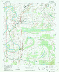 1982 Sidon1982 Print · USGSThe Yazoo River delta in the early eighties shows a landscape of oxbow lakes and rail-side settlements. Trace family history at Mt Pisgah Cem or locate old landmarks like the Walker Lake Pumping Plant and Rising Sun Sch.
 - 1984 Map of Indianola, 1985 Print
 1984 Indianola1985 Print · USGSThe Mississippi Delta of the mid-1980s reveals a landscape of fertile bottomlands shaped by the Sunflower River and Yazoo River. Researchers can trace the rail-and-river economy through landmarks like Saints College, the Leflore Cemetery, and the Columbus and Greenville Railway.
 - 1994 Map of Indianola
 1994 Indianola1994 Print · USGSThe Mississippi Delta's rich agricultural heartland is documented here in the mid-1990s, showing a landscape defined by meandering rivers and rail lines. Genealogists and historians can trace family roots in rural settlements like Nitta Yuma and Midnight or locate the sprawling Yazoo National Wildlife Refuge.
 - 2012 Map of Sidon, 2012 Print
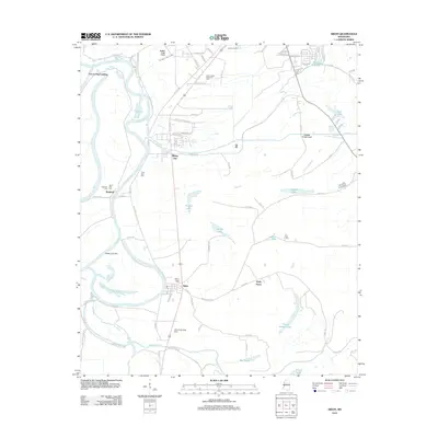 2012 Sidon2012 Print · USGSThe Mississippi Delta's river-driven geography is on full display here during the early 2010s. Genealogists and local historians can trace family sites at Mount Pisgah Cem and Dell Cem, or locate historic landings like Fort Loring Landing.
 - 2015 Map of Sidon, 2015 Print
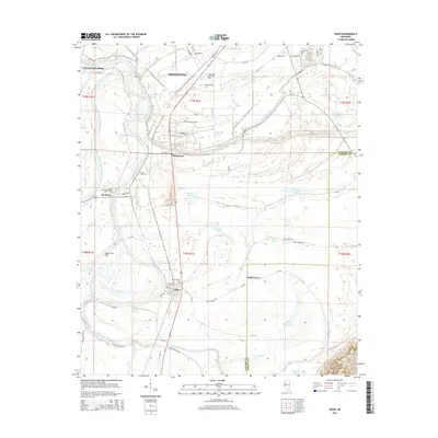 2015 Sidon2015 Print · USGSThe Mississippi Delta floodplain comes alive in the mid-2010s, showing the intricate relationship between the Yazoo River and its rural settlements. Genealogists can locate family sites at Mount Pisgah Cem, Travel Rest Cem, and O Dell Cem near Holly Grove.
 - 2018 Map of Sidon, 2018 Print
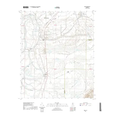 2018 Sidon2018 Print · USGSLeflore County in the late twenty-teens is a landscape defined by the winding Yazoo River and its many oxbow lakes. Genealogists and local historians can locate family landmarks like Mount Pisgah Cem, Travel Rest Cem, and the rural community of Sidon.
 - 2020 Map of Sidon, 2020 Print
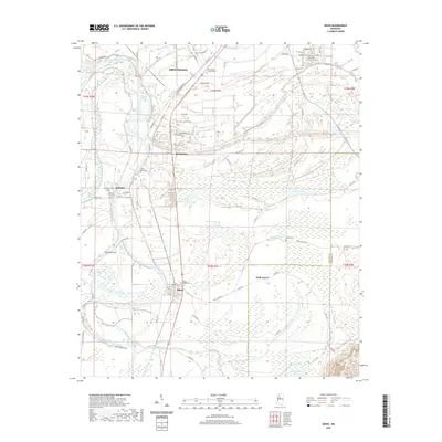 2020 Sidon2020 Print · USGSLeflore County, Mississippi, is shown here as it appeared in 2020, where the river-bound settlements of the Delta meet the Yazoo. Genealogists can locate several family burial sites including Mount Pisgah Cem and Ingleside Cem near Sidon.
 - 2024 Map of Sidon, 2024 Print
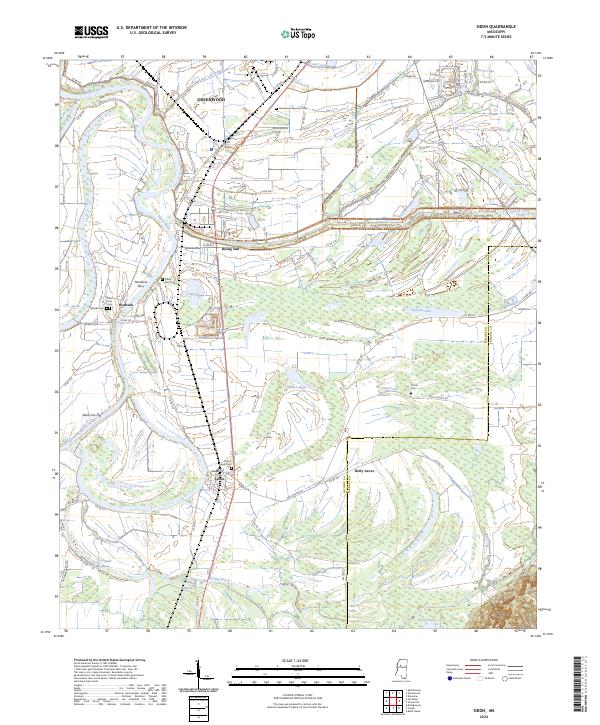 2024 Sidon2024 Print · USGSLeflore County's river-driven landscape is captured here in the contemporary era, showing the rural communities along the Yazoo River. Genealogists and historians can locate family burial sites at Ingleside Cem and O Dell Cem or trace the old river crossing at Murdocks Ferry.
End of results
Showing maps 1-13 of 13
Top cities near Holly Grove
- Greenwood historical maps
- Tchula historical maps
- Itta Bena historical maps
- Sidon historical maps
- Cruger historical maps
- Schlater historical maps
See more
Frequently asked questions
- What are the different types of historical maps available for Holly Grove?
- What is the oldest map of Holly Grove?
- Where can I purchase historical maps of Holly Grove for my home or office?
- Where can I download high-res historical maps of Holly Grove?
- Are there historical topographic maps available for Holly Grove?
- Is there historical aerial imagery available for Holly Grove?
- Where are historical maps of Holly Grove sourced from?