Old Maps of Jolly, Mississippi for Academic Research
Study the evolution of Jolly with 13 high-resolution historic maps. Whether you're teaching, researching, or modeling changes in land use, these maps provide essential visual documentation of urban, environmental, and geographic change.
- Analyze long-term change: Track patterns in development, transportation, and natural features.
- Ideal for environmental or urban studies: Support academic projects with primary historical map data.
- Use in the classroom or lab: Educators and researchers rely on these maps to bring historical context to life.
These maps are a powerful tool for teaching, research, and visualizing how Jolly has changed over the decades.
Jolly, MS maps
(13)- 1953 Map of West Point, 1973 Print
 1953 West Point1973 Print · USGSNorth-Central Mississippi and the Alabama borderlands are captured here during the mid-twentieth century as new reservoirs and national forests transformed the landscape. Researchers can trace the path of the Mississippi & Skuna Valley railroad or locate old landings along the Tombigbee River and Schooner Creek.3 unique versions available
 - 1958 Map of West Point
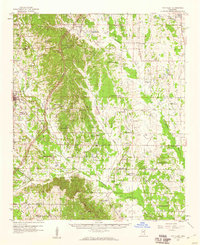
 1958 West Point1958 Print · USGSNortheastern Mississippi and western Alabama are shown in the late 1950s, highlighting a region defined by its river-and-rail economy. Researchers can trace family roots through numerous settlements like Artesia and Vardaman or explore the corridor of the Tombigbee River.
 - 1959 Map of Van Vleet, 1960 Print
 1959 Van Vleet1960 Print · USGSChickasaw and Clay Counties are shown here in the late fifties as the modern Natchez Trace Parkway was first being cut through the hills. Genealogists can locate dozens of rural landmarks, from Witch Dance Hill to the Asbury Cem and New Zion Sch.3 unique versions available
 - 1963 Map of West Point
 1963 West Point1963 Print · USGSEastern Mississippi and western Alabama are captured in the early sixties as industrial centers and rail lines connected the Black Prairie to the hills. Genealogists and historians can trace family-named watercourses and the early footprints of Starkville, Columbus, and the Noxubee National Wildlife Refuge.2 unique versions available
 - 1982 Map of West Point, 1983 Print
 1982 West Point1983 Print · USGSEastern Mississippi and western Alabama are captured in the early eighties as the river-and-rail economy evolved. Trace family roots and old township lines near West Point, Columbus Air Force Base, and the historic Natchez Trace Parkway.
 - 1984 Map of West Point
 1984 West Point1984 Print · USGSNorth-Central Mississippi in the mid-eighties shows a landscape defined by massive water management projects and dense timberlands. Researchers can trace the legacy of rural settlements like Geeslin Corner or the rail corridors of the Illinois Central Gulf RR near Grenada Lake.3 unique versions available
 - 1987 Map of Buena Vista
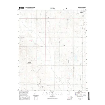
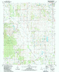 1987 Buena Vista1987 Print · USGSThe rural crossroads of Buena Vista and the outskirts of Okolona appear here in the late twentieth century, showing a landscape of small churches and winding creek bottoms. Genealogists can trace family roots through the many local burial grounds like Pulliam Cem and Jolly Ch Cem or locate the Boone Ch.
 - 2000 Map of Buena Vista, 2002 Print
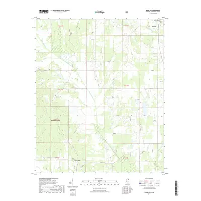
 2000 Buena Vista2002 Print · USGSChickasaw County at the turn of the century shows a landscape of creek-side settlements and rural congregations. Genealogists can trace family roots through numerous sites like Mt Moriah Cem, New Hope Ch, and Buena Vista.
 - 2012 Map of Buena Vista, 2012 Print
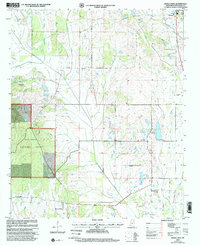
 2012 Buena Vista2012 Print · USGSCovers Jolly, including Okolona, Buena Vista, and other nearby areas
 - 2015 Map of Buena Vista, 2015 Print
 2015 Buena Vista2015 Print · USGSCovers Jolly, including Okolona, Buena Vista, and other nearby areas
 - 2018 Map of Buena Vista, 2018 Print
 2018 Buena Vista2018 Print · USGSCovers Jolly, including Okolona, Buena Vista, and other nearby areas
 - 2021 Map of Buena Vista, 2021 Print
 2021 Buena Vista2021 Print · USGSCovers Jolly, including Okolona, Buena Vista, and other nearby areas
 - 2024 Map of Buena Vista, 2024 Print
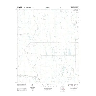
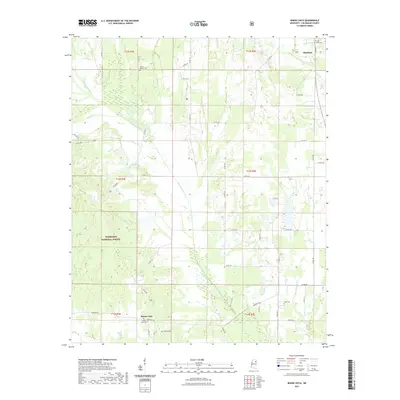
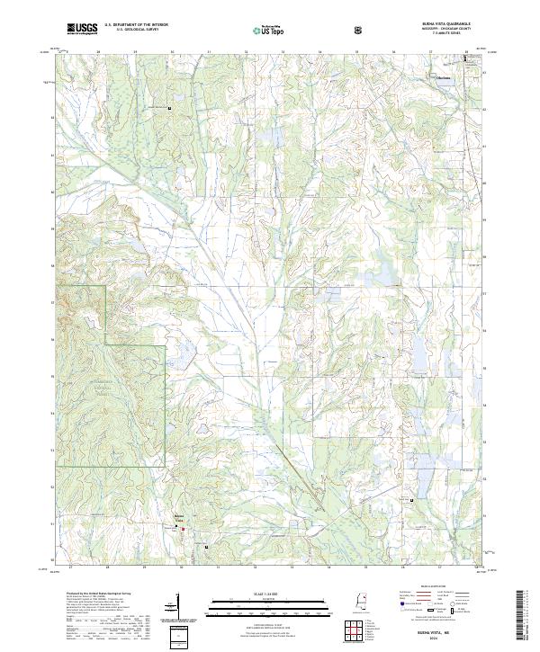 2024 Buena Vista2024 Print · USGSChickasaw County in the early twenty-first century remains a landscape of forest and creek-side settlements. Genealogists can trace family landmarks across Okolona and Buena Vista, including the Okolona Confederate Cem and Pulliam Cem.
End of results
Showing maps 1-13 of 13
Top cities near Jolly
- Aberdeen historical maps
- Houston historical maps
- Okolona historical maps
- Nettleton historical maps
- Shannon historical maps
- Algoma historical maps
Frequently asked questions
- What are the different types of historical maps available for Jolly?
- What is the oldest map of Jolly?
- Where can I purchase historical maps of Jolly for my home or office?
- Where can I download high-res historical maps of Jolly?
- Are there historical topographic maps available for Jolly?
- Is there historical aerial imagery available for Jolly?
- Where are historical maps of Jolly sourced from?