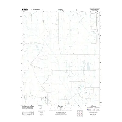
2012 Map of Buena Vista
USGS Topo · Published 2012About this map
Buena Vista and the surrounding prairies of Chickasaw County are documented here as they appeared in 2012, showing a rural landscape defined by historic burial grounds and an intricate drainage system. The settlement of Buena Vista serves as a focal point for researchers, flanked by the Buena Vista Cem and nearby Pulliam Cem. Further north, the landscape includes the community of Jolly and the distinctively named Egypt Prairie. The map's hydrography is notably dense, with the meandering Chuquatonchee Cr and its tributaries like Shaw Cr and Cane Cr carving through the agricultural terrain. Genealogists will find significant value in the distribution of family and community cemeteries across the quadrangle, including the Confederate Cem and Citizens Cem in the northeastern corner, and the Mount Moriah Cem near the northern boundary.
Find a feature on this map
58 named features on this map. Tap any name to fly to it.
Don’t see what you’re looking for? This feature index may not catch every label — zoom into the map to look around manually.
Map Details
Editions of this 2012 Buena Vista Map
This is the sole edition of this map. No revisions or reprints were ever made.
Other maps of this area

1953 · West Point
USGS Topo · 1:250,000

1956 · Tupelo
USGS Topo · 1:250,000

1958 · Tupelo
USGS Topo · 1:250,000

1958 · West Point
USGS Topo · 1:250,000

1959 · Van Vleet
USGS Topo · 1:62,500

1963 · West Point
USGS Topo · 1:250,000

1965 · Egypt
USGS Topo · 1:24,000

1966 · Shannon
USGS Topo · 1:24,000

1966 · Prairie
USGS Topo · 1:24,000

1966 · Troy SE
USGS Topo · 1:24,000