
1966 Map of Shannon
USGS Topo · Published 1967About this map
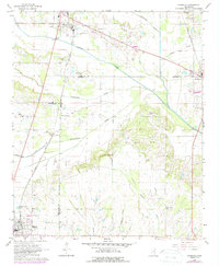
Shannon and the surrounding northeast Mississippi countryside are defined by a complex intersection of county lines and rail corridors in the mid-1960s. The Gulf Mobile and Ohio and St Louis San Francisco railroads anchor the local economy, connecting smaller settlements like Pine Grove and Poplar Springs. The landscape is etched by several prominent waterways, including Chiwapa Creek and Town Creek, which historically dictated the placement of early homesteads and community centers.
Find a feature on this map
37 named features on this map. Tap any name to fly to it.
Don’t see what you’re looking for? This feature index may not catch every label — zoom into the map to look around manually.
Map Details
Editions of this 1966 Shannon Map
2 editions found
Other maps of this area

1953 · West Point
USGS Topo · 1:250,000

1956 · Tupelo
USGS Topo · 1:250,000

1958 · Tupelo
USGS Topo · 1:250,000

1958 · West Point
USGS Topo · 1:250,000

1959 · Van Vleet
USGS Topo · 1:62,500

1963 · West Point
USGS Topo · 1:250,000

1965 · Egypt
USGS Topo · 1:24,000

1966 · Wren
USGS Topo · 1:24,000
1966 · Nettleton
USGS Topo · 1:24,000

1966 · Troy SE
USGS Topo · 1:24,000