2020s Maps of Choctaw County, Mississippi
Explore 32 historic maps of Choctaw County from the 2020s. These maps offer a rare glimpse into what life looked like during the 2020s — showing old roads, neighborhoods, homes, and landmarks that have changed or disappeared over time.
Whether you're researching your family's past, planning a metal detecting trip, or studying how Choctaw County's landscape evolved across the 2020s, these high-resolution maps are a powerful tool for exploring the history of this region.
- Focus on a specific era: All maps on this page are from the 2020s, giving you a focused view of this time period.
- See what’s changed: Compare century-old streets, trails, and buildings to today's modern landscape using overlays and satellite layers.
- Research with precision: Use these maps for genealogy, historical research, land use analysis, or educational projects.
- View, download, or print: Maps are fully viewable online in high resolution, and can be downloaded or printed for your own records.
Start exploring Choctaw County's history through authentic maps from the 2020s. This is your window into the past.
Choctaw County, MS maps
(32)- 2020 Map of French Camp, 2020 Print
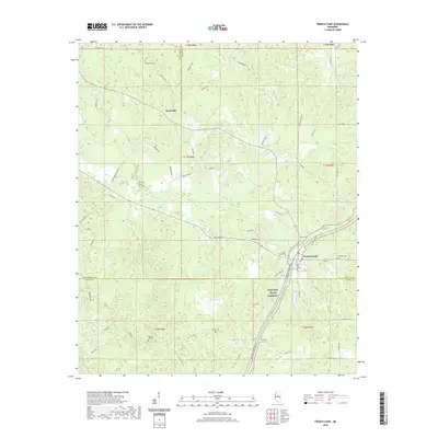 2020 French Camp2020 Print · USGSCovers Choctaw County, including French Camp, Huntsville, and other nearby areas
 - 2020 Map of Eupora, 2020 Print
 2020 Eupora2020 Print · USGSCovers Choctaw County, including Eupora, Walthall, and other nearby areas
 - 2020 Map of Louisville SW, 2020 Print
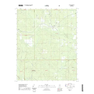
 2020 Louisville SW2020 Print · USGSCovers Choctaw County, including Rome, Ford, and other nearby areas
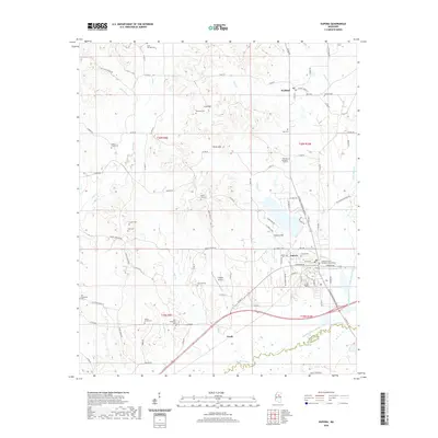
 - 2020 Map of Sapa, 2020 Print
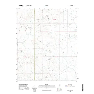
 2020 Sapa2020 Print · USGSCovers Choctaw County, including Sapa, Mathiston, and other nearby areas
 - 2020 Map of McCool, 2020 Print
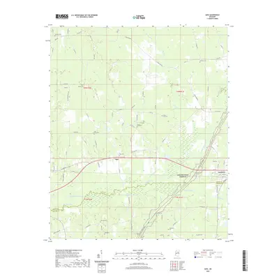
 2020 McCool2020 Print · USGSCovers Choctaw County, including McCool, Bowies Chapel, and other nearby areas
 - 2020 Map of Double Springs, 2020 Print
 2020 Double Springs2020 Print · USGSCovers Choctaw County, including Pleasant Ridge, Self Creek, and other nearby areas
 - 2020 Map of Reform, 2020 Print
 2020 Reform2020 Print · USGSCovers Choctaw County, including Reform, Sherwood, and other nearby areas
 - 2020 Map of Weir, 2020 Print
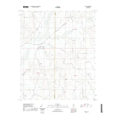
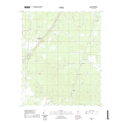
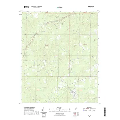 2020 Weir2020 Print · USGSCovers Choctaw County, including Weir, Attala County, and other nearby areas
 - 2020 Map of Maben, 2020 Print
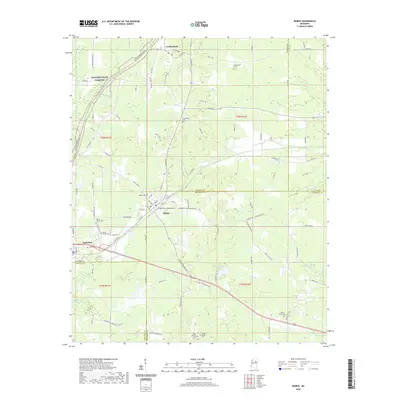 2020 Maben2020 Print · USGSCovers Choctaw County, including Center Grove, Spring Valley, and other nearby areas
 - 2020 Map of Ethel SE, 2020 Print
 2020 Ethel SE2020 Print · USGSCovers Choctaw County, including Rural Hill, East Macedonia, and other nearby areas
 - 2021 Map of Tomnolen, 2021 Print
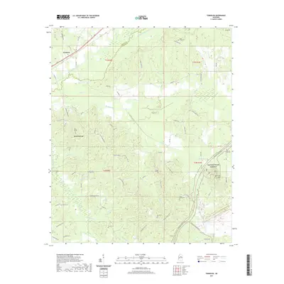 2021 Tomnolen2021 Print · USGSCovers Choctaw County, including Wood Springs, Tomnolen, and other nearby areas
 - 2021 Map of Stewart, 2021 Print
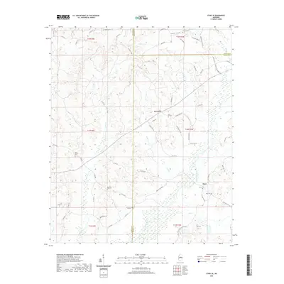
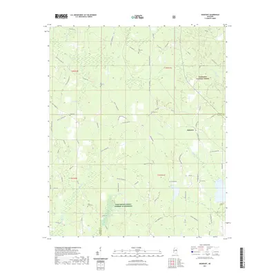
 2021 Stewart2021 Print · USGSCovers Choctaw County, including Pellez, Stewart, and other nearby areas
 - 2021 Map of Sturgis, 2021 Print
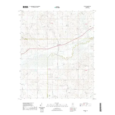
 2021 Sturgis2021 Print · USGSCovers Choctaw County, including Sturgis, Fulcher, and other nearby areas
 - 2021 Map of Highpoint, 2021 Print
 2021 Highpoint2021 Print · USGSCovers Choctaw County, including Highpoint, Winston County, and other nearby areas
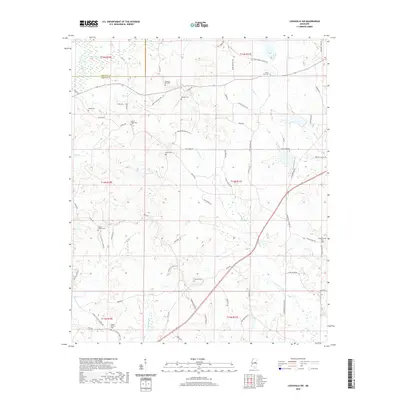
 - 2021 Map of Ackerman, 2021 Print
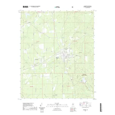 2021 Ackerman2021 Print · USGSCovers Choctaw County, including Ackerman, Chester, and other nearby areas
 - 2021 Map of Louisville North, 2021 Print
 2021 Louisville North2021 Print · USGSCovers Choctaw County, including Louisville, Evergreen, and other nearby areas
 - 2024 Map of Louisville North, 2024 Print
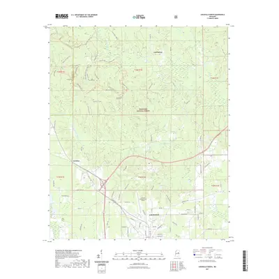
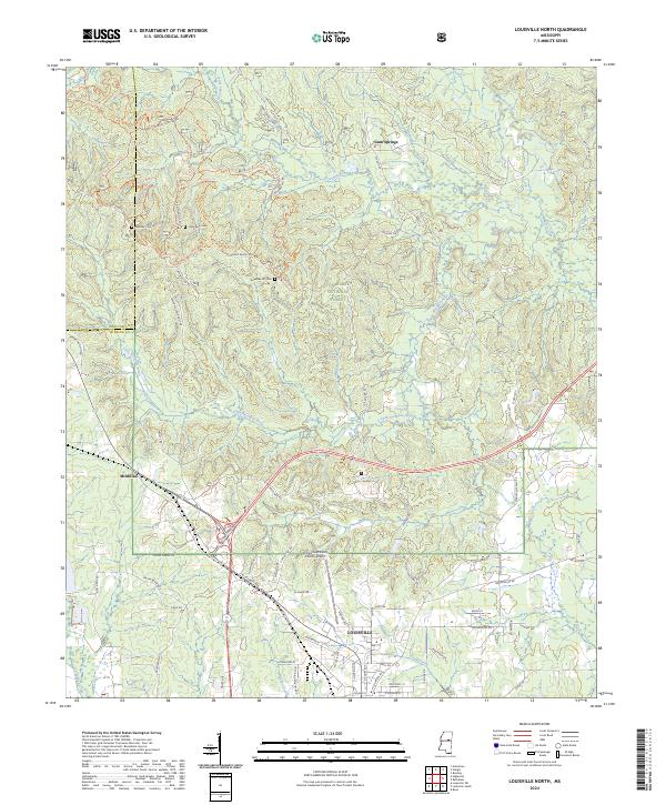 2024 Louisville North2024 Print · USGSNorthern Winston County appears here in the contemporary era, showing the transition from the city of Louisville into the dense Tombigbee National Forest. Researchers can locate family landmarks like Little Rock Cem, Noxubee Hill Cem, and the rural community of McMillan.
 - 2024 Map of Ethel SE, 2024 Print
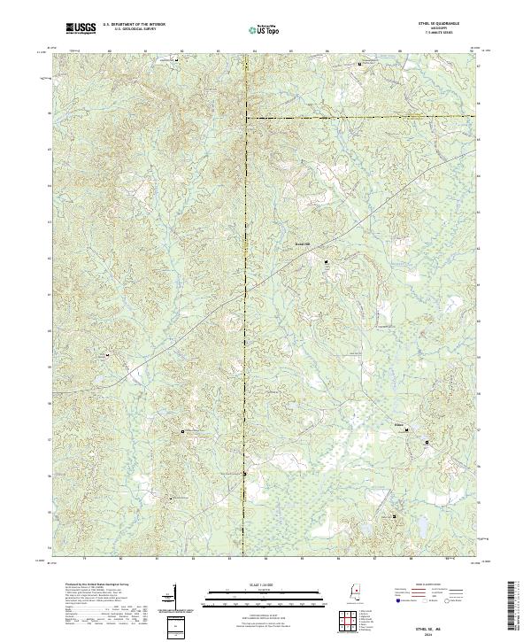 2024 Ethel SE2024 Print · USGSCentral Mississippi farm and timberland are mapped here at the intersection of Attala, Winston, and Choctaw counties. Researchers can locate many family burial grounds including Doty Springs Cem, Rural Hill Cem, and the East County Line Cem.
 - 2024 Map of Sapa, 2024 Print
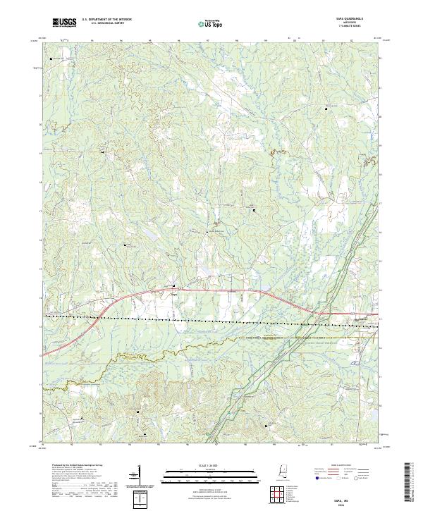 2024 Sapa2024 Print · USGSWebster County and the northern edge of Choctaw County appear here in the modern era, centered on the settlement of Sapa. Genealogists can trace family burial sites like Red Hill African American Cem and Lollars Grove Cem near the Natchez Trace Parkway.
 - 2024 Map of Double Springs, 2024 Print
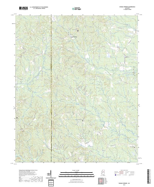 2024 Double Springs2024 Print · USGSSettled along the border of Choctaw and Oktibbeha counties, this rural Mississippi landscape is defined by its quiet creeks and community cemeteries. Trace local genealogy and landmarks like Double Springs Cem, Pleasant Ridge Cem, and the waters of Trim Cane Creek.
 - 2024 Map of Sturgis, 2024 Print
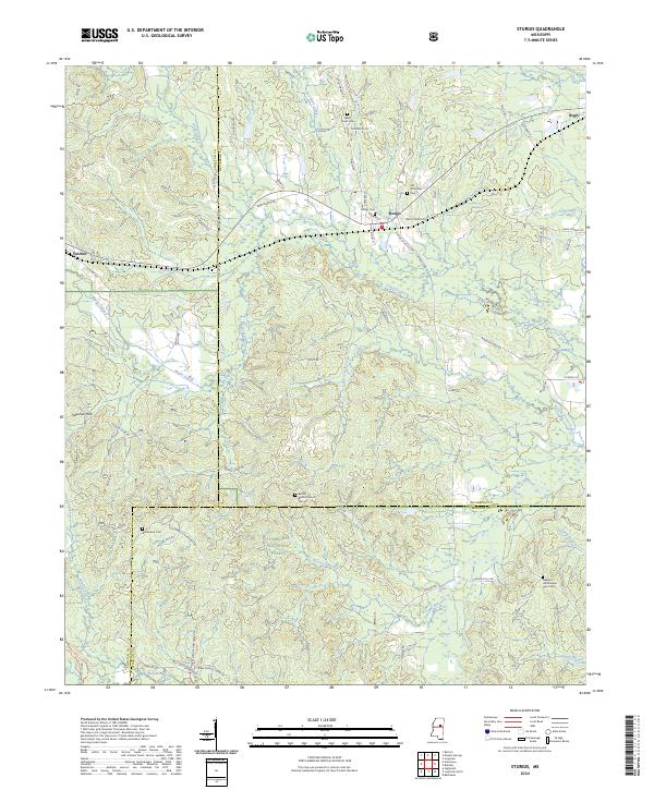 2024 Sturgis2024 Print · USGSThe rural communities of Oktibbeha County are documented in the modern era, centered on the historic town of Sturgis. Researchers can locate numerous family burial sites and landmarks like Old Whitefield Cem, Bethel Baptist Church, and the winding Noxubee River.
 - 2024 Map of Reform, 2024 Print
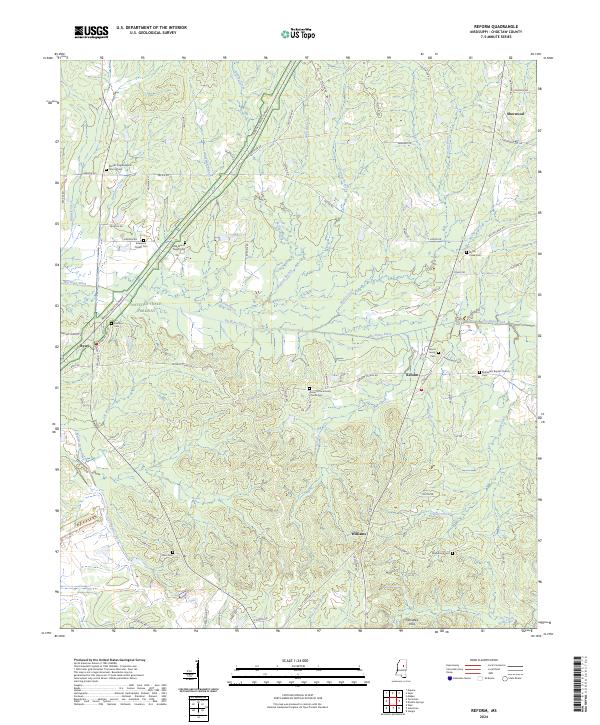 2024 Reform2024 Print · USGSChoctaw County’s rural landscape is mapped here in the modern era, centered on the intersection of local history and the historic travel corridor. Genealogists can trace family landmarks and legacy sites like Old Mount Pisgah Cem, Wood Family Cem, and the settlement of Reform.
 - 2024 Map of McCool, 2024 Print
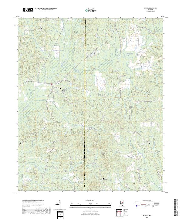 2024 McCool2024 Print · USGSThe rural landscape of McCool and the borderlands of Attala and Choctaw counties are documented here in recent detail. Genealogists can trace family heritage through a high density of local sites including McCool Cem, Mount Zion Cem, and Old Bowie Cem.
 - 2024 Map of Louisville SW, 2024 Print
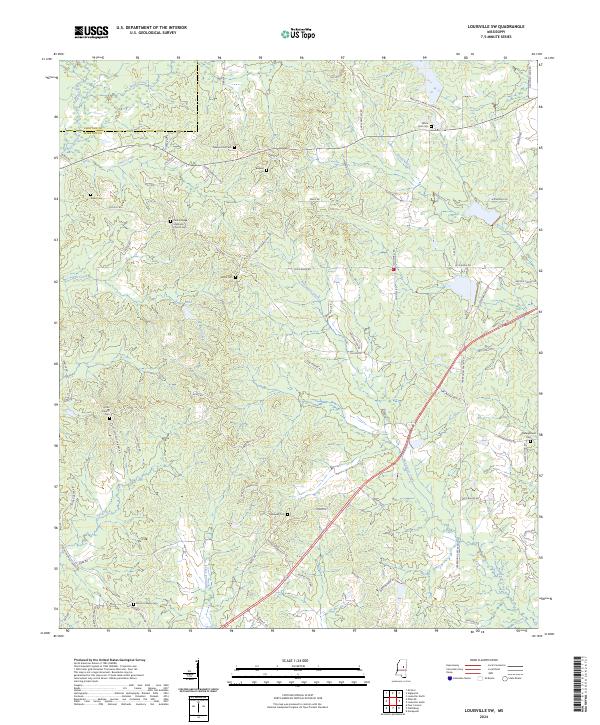 2024 Louisville SW2024 Print · USGSThe Choctaw and Winston county line comes alive in this contemporary survey of rural Mississippi timberlands and creek bottoms. Researchers can trace family history through local landmarks like Center Ridge Methodist Church, Shiloh Cem, and White Hall Cem.
 - 2024 Map of Weir, 2024 Print
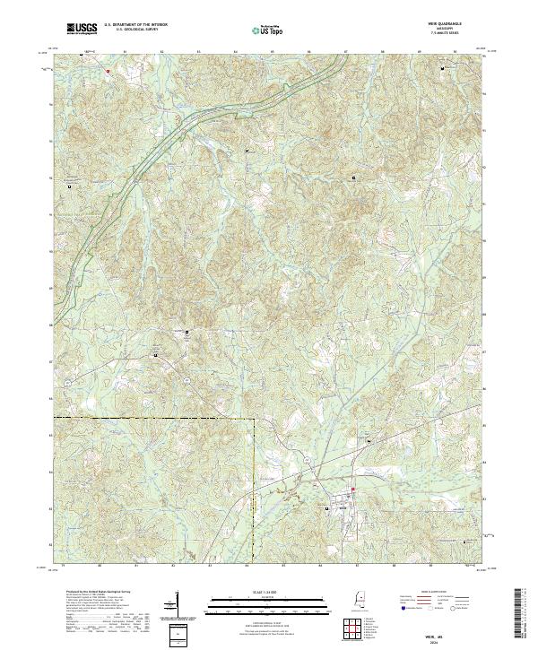 2024 Weir2024 Print · USGSChoctaw County comes into focus in this contemporary survey of the Weir area and the Yockanookany River valley. Genealogists can trace deep local roots through numerous sites like Mill Springs Cem, Pisgah Cem, and the church grounds at Penderville.
Showing maps 1-25 of 32
Top cities of Choctaw County
Frequently asked questions
- What are the different types of historical maps available for Choctaw County?
- What is the oldest map of Choctaw County?
- Where can I purchase historical maps of Choctaw County for my home or office?
- Where can I download high-res historical maps of Choctaw County?
- Are there historical topographic maps available for Choctaw County?
- Is there historical aerial imagery available for Choctaw County?
- Where are historical maps of Choctaw County sourced from?