2020s Maps of Coahoma County, Mississippi
Explore 42 historic maps of Coahoma County from the 2020s. These maps offer a rare glimpse into what life looked like during the 2020s — showing old roads, neighborhoods, homes, and landmarks that have changed or disappeared over time.
Whether you're researching your family's past, planning a metal detecting trip, or studying how Coahoma County's landscape evolved across the 2020s, these high-resolution maps are a powerful tool for exploring the history of this region.
- Focus on a specific era: All maps on this page are from the 2020s, giving you a focused view of this time period.
- See what’s changed: Compare century-old streets, trails, and buildings to today's modern landscape using overlays and satellite layers.
- Research with precision: Use these maps for genealogy, historical research, land use analysis, or educational projects.
- View, download, or print: Maps are fully viewable online in high resolution, and can be downloaded or printed for your own records.
Start exploring Coahoma County's history through authentic maps from the 2020s. This is your window into the past.
Coahoma County, MS maps
(42)- 2020 Map of Helena, 2020 Print
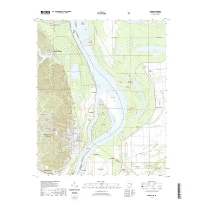 2020 Helena2020 Print · USGSThe Arkansas-Mississippi border comes alive in this contemporary survey of the delta region near Helena-West Helena. Genealogists and local historians can trace the locations of Phillips County Courthouse, Maple Hill Cem, and rural sites like Pilgrim Rest Cem.
 - 2020 Map of Elaine, 2020 Print
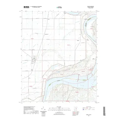 2020 Elaine2020 Print · USGSThe Arkansas Delta meets the Mississippi River in the early twenty-first century, revealing a landscape of river bends and rural settlements. Trace family roots and local history through Elaine, Hoop Spur, and historic sites like Saint Peter Cem or Jones Cem.
 - 2020 Map of Mellwood, 2020 Print
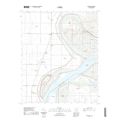 2020 Mellwood2020 Print · USGSThe Mississippi Delta riverfront comes into focus in the early twenty-first century as the river winds past Island Number Sixtyfive. Trace rural settlements like Mellwood and Crumrod or explore the oxbow at Desoto Lake.
 - 2020 Map of Laconia, 2020 Print
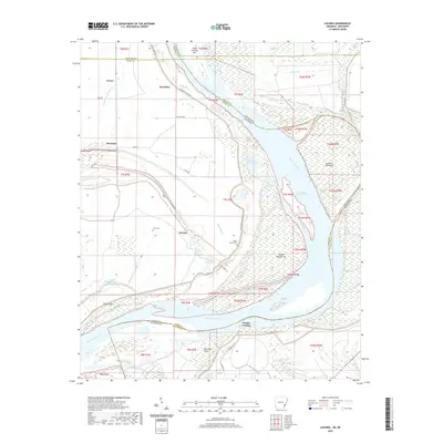 2020 Laconia2020 Print · USGSThe riverfront along the Arkansas-Mississippi border remains a landscape shaped by the river's power and the levee's protection. Researchers can trace local lineage and land use through features like Luke Cem, the settlement of Laconia, and the historical Knowlton Crevasse along the Mississippi River.
 - 2020 Map of Lula, 2020 Print
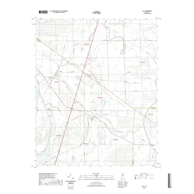 2020 Lula2020 Print · USGSThe Mississippi Delta's intricate water network and small farming communities are preserved here in the early twenty-first century. Researchers can trace family sites and local history at Bethlehem Cem, Lula, and along the historic Yazoo Pass.
 - 2020 Map of Rena Lara, 2020 Print
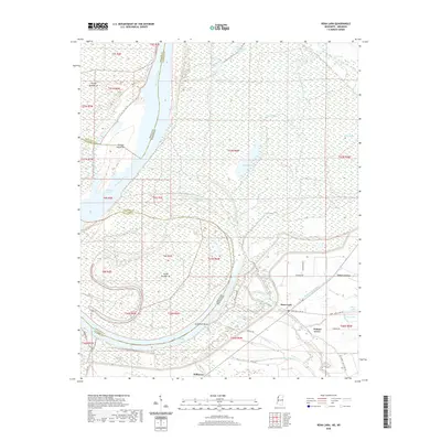 2020 Rena Lara2020 Print · USGSCoahoma County and the Mississippi-Arkansas border appear here during the early twenty-first century as a landscape shaped by the river's ancient meanders. Genealogists and local historians can trace the roads connecting Rena Lara, Hillhouse, and Walnut Grove near the oxbow of Desoto Lake.
 - 2020 Map of Duncan, 2020 Print
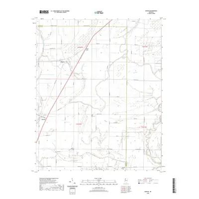 2020 Duncan2020 Print · USGSBolivar and Coahoma counties meet in this agricultural Delta landscape during the modern era. Genealogists and historians can locate rural landmarks such as Union Temple Cem and Sanders Cem, or trace the winding course of the Hushpuckena River.
 - 2020 Map of Friars Point, 2020 Print
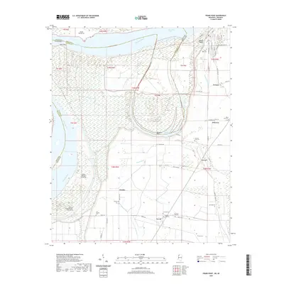 2020 Friars Point2020 Print · USGSThe Mississippi Delta riverfront and its surrounding agricultural hamlets are captured here in the early twenty-first century. Researchers can trace numerous local burial grounds and landings, from Zion Traveler Cem to the waters of Horseshoe Lake and Richies Bayou.
 - 2020 Map of Sabino, 2020 Print
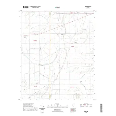 2020 Sabino2020 Print · USGSThe border of Coahoma and Quitman counties in the Mississippi Delta comes into focus through this 2020 topographic survey. Trace the local geography of the region's bayous and small settlements like Walnut, Sabino, and the family-named landmark at Mud Bridge.
 - 2020 Map of Friars Point NW, 2020 Print
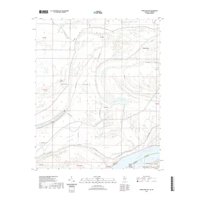 2020 Friars Point NW2020 Print · USGSThe Mississippi Delta riverfront and its shifting state borders are captured here as they appeared in 2020. Researchers can locate family burial sites like Saint Marys Cem and Maney Cem or trace the geography of Preston Place and Friars Point.
 - 2020 Map of Coahoma, 2020 Print
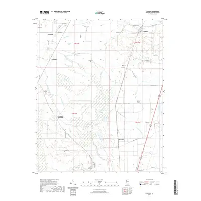 2020 Coahoma2020 Print · USGSCoahoma County at the start of the 2020s shows a classic Delta landscape of intricate river brakes and dispersed farming settlements. Researchers can trace family history at the Old Dickerson Cem, locate the grounds of Coahoma Community College, or explore the environs of Fletcher Field.
 - 2020 Map of Tutwiler, 2020 Print
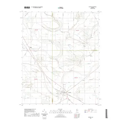 2020 Tutwiler2020 Print · USGSThe Mississippi Delta's intersection of Coahoma, Quitman, and Tallahatchie counties is captured here in recent detail. Researchers can locate numerous local landmarks like Rosemound Cem, Philadelphia Cem, and the waters of Carson Slough.
 - 2020 Map of Mattson, 2020 Print
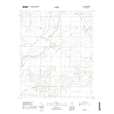 2020 Mattson2020 Print · USGSThe Mississippi Delta of Coahoma County comes into focus here in the early twenty-first century, showing a landscape shaped by the Big Sunflower River. Researchers can trace old family roots through numerous local sites like True Vine Cem, Mount Horeb Cem, and the settlement of Mattson.
 - 2020 Map of Round Lake, 2020 Print
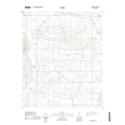 2020 Round Lake2020 Print · USGSBolivar County and the Mississippi Delta are shown here during the late twenty-teens, featuring a complex network of bayous and drainage sloughs. Researchers can trace rural cemeteries like Booker Cem and Mount Olive Cem or locate the old rail-aligned centers of Rochdale and Hillhouse.
 - 2020 Map of Sherard, 2020 Print
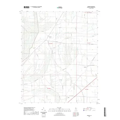 2020 Sherard2020 Print · USGSCoahoma County's Delta landscape is captured in the modern era, revealing a complex web of bayous and swamps surrounding the settlement of Sherard. Genealogists and local historians can trace legacy sites like Nathan Cem, Dogwood Cem, and the old route of Bobo - New Africa Rd.
 - 2020 Map of Moon Lake, 2020 Print
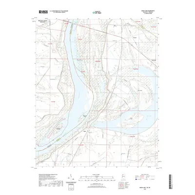 2020 Moon Lake2020 Print · USGSThe Mississippi River forms the winding heart of this Arkansas-Mississippi border region in the early twenty-first century. Family history researchers can trace local landmarks like Delta Cem, Mount Nebo Cem, and the riverfront at Montezuma Bar.
 - 2020 Map of Clarksdale, 2020 Print
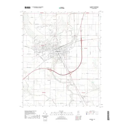 2020 Clarksdale2020 Print · USGSClarksdale and the surrounding Coahoma County plains are shown here in the early twenty-first century as the landscape remains tied to the Big Sunflower River. Researchers can locate several community landmarks including the Coahoma County Courthouse and local cemeteries like Beth Israel Cem and Oakridge Cem.
 - 2020 Map of Jonestown, 2020 Print
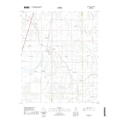 2020 Jonestown2020 Print · USGSThe Mississippi Delta's agricultural landscape is captured here in the contemporary era, centered on the historic river town of Jonestown. Genealogists and local historians can trace family roots through sites like Coahoma Cem, Matagorda, and Eagles Nest.
 - 2020 Map of Rome, 2020 Print
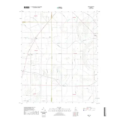 2020 Rome2020 Print · USGSThe Mississippi Delta's intersection of Coahoma, Sunflower, and Tallahatchie counties is captured here in 2020. Researchers can trace rural cemeteries and local family roads such as New Light Cem, Pilgrim Rest Cem, and Rudolph Smith across a landscape defined by Bear Bayou.
 - 2020 Map of Baltzer, 2020 Print
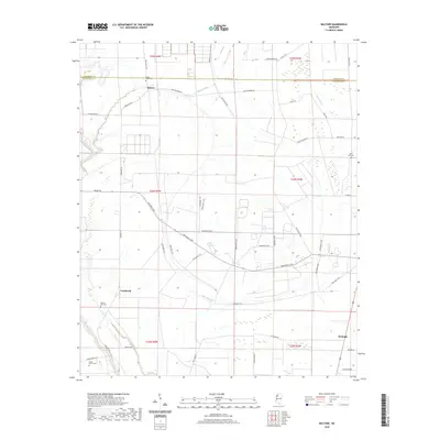 2020 Baltzer2020 Print · USGSThe Sunflower County delta comes into focus in this recent survey of its rural settlements and waterways. Genealogists can trace family connections through local landmarks like Lombardy, Fitzhugh, and the Mount Olive Cem.
 - 2020 Map of Mound Bayou, 2020 Print
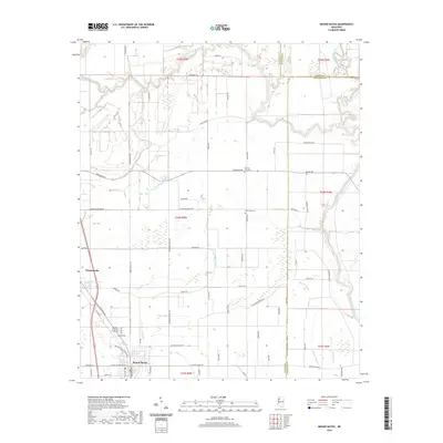 2020 Mound Bayou2020 Print · USGSMound Bayou and Winstonville are documented here in the Mississippi Delta during the early twenty-first century. Genealogists can trace local landmarks and burial sites including Zion Cem, New Hope Cem, and waterways like the Hushpuckena River.
 - 2024 Map of Baltzer, 2024 Print
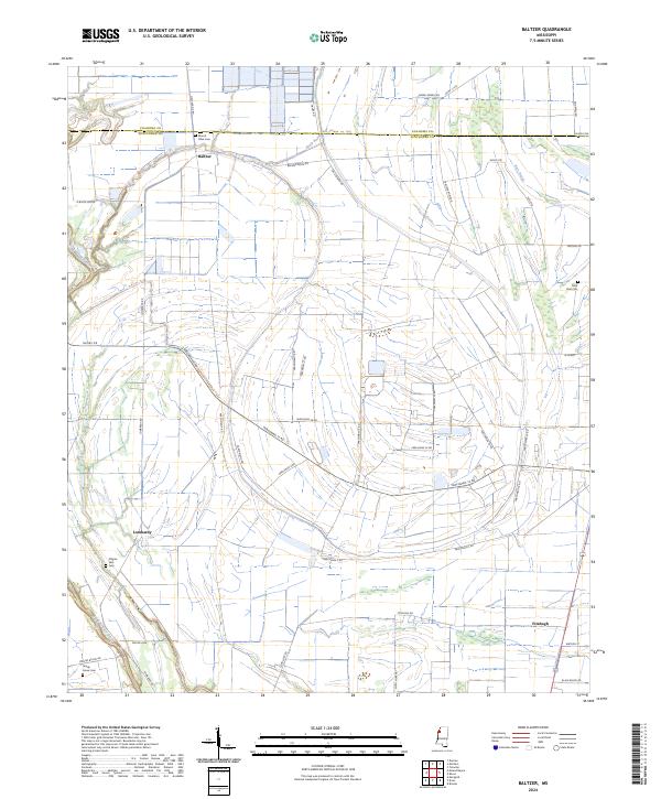 2024 Baltzer2024 Print · USGSThe Sunflower County delta landscape is captured here in its modern agricultural form. Researchers can locate family landmarks like Mount Olive Cem and trace rural routes through Lombardy and Fitzhugh.
 - 2024 Map of Mound Bayou, 2024 Print
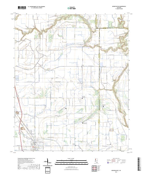 2024 Mound Bayou2024 Print · USGSThe historic town of Mound Bayou and its surrounding Delta farmland are shown here in recent detail. Genealogists can trace numerous local landmarks and burial sites including German Lane Cem, Spring Hill Church Cem, and Wanderer's Home Cem.
 - 2024 Map of Rome, 2024 Print
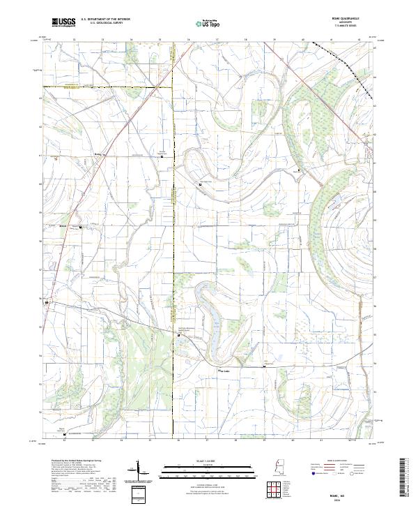 2024 Rome2024 Print · USGSThe Mississippi Delta's agricultural heartland is documented here in the early twenty-first century, highlighting the rural communities of Tallahatchie and Sunflower counties. Genealogists can trace family landmarks like the Saint John Missionary Baptist Church Cem, Hitt Chapel Cem, and the settlement of Rome.
 - 2024 Map of Laconia, 2024 Print
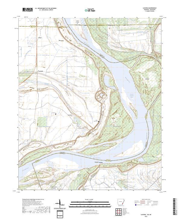 2024 Laconia2024 Print · USGSThe river borders of Desha County and Bolivar County meet along a shifting stretch of the Mississippi in the early twenty-first century. Genealogists can locate river-bend landmarks like Laconia, Luke Cem, and the historic Cessions Towhead along the winding channel.
Showing maps 1-25 of 42
Top cities of Coahoma County
- Clarksdale historical maps
- Jonestown historical maps
- Friars Point historical maps
- Lyon historical maps
- Coahoma historical maps
- Lula historical maps
Frequently asked questions
- What are the different types of historical maps available for Coahoma County?
- What is the oldest map of Coahoma County?
- Where can I purchase historical maps of Coahoma County for my home or office?
- Where can I download high-res historical maps of Coahoma County?
- Are there historical topographic maps available for Coahoma County?
- Is there historical aerial imagery available for Coahoma County?
- Where are historical maps of Coahoma County sourced from?