Old Maps of Delta, Mississippi for Genealogy
Trace your family roots with 19 historic maps of Delta. These high-res maps reveal old neighborhoods, homesites, landmarks, and streets — helping you uncover where your ancestors lived and how the area evolved over time.
- Explore historic neighborhoods: Identify where your relatives may have lived in the 1800s or 1900s.
- Compare maps over time: Trace the changes in streets, buildings, and landmarks for multi-generational research.
- Perfect for genealogy & ancestry research: Used by family historians and researchers to map out lineage and migration.
These maps are an incredible resource for exploring your personal connection to Delta's past.
Delta, MS maps
(19)- 1908 Map of Moon Lake, 1961 Print
 1908 Moon Lake1961 Print · USGSThe Mississippi Delta's oxbows and bayous are meticulously detailed here in the early 1900s, showing a river-driven landscape. Trace the old rail lines of the Yazoo and Mississippi Valley R R or locate local centers like Delta Gerald P O and Powell.
 - 1912 Map of Moon Lake
 1912 Moon Lake1912 Print · USGSThe Mississippi Delta's intricate river-and-rail landscape is preserved here during the early twentieth century. Genealogists and local historians can trace the foundations of the area through the Yazoo and Mississippi Valley R R and rural settlements like Powell and Delta Gerald P O.3 unique versions available
 - 1939 Map of Farrell, 1941 Print
 1939 Farrell1941 Print · USGSThe Mississippi Delta riverfront at Friar Point is captured here in the years before the Second World War. Researchers can trace family sites like Preston Places and Stovall or locate old rural centers including McLemore Sch and Llewellyn Ch & Sch.2 unique versions available
 - 1948 Map of Helena
 1948 Helena1948 Print · USGSEastern Arkansas and the Mississippi Delta are captured here just after the war, showing a landscape defined by its great rivers and rail lines. Genealogists can trace family locations near Bemis Plantation, Helena, and smaller rail stops like Wheatley and Moro.
 - 1950 Map of Helena
 1950 Helena1950 Print · USGSMid-century Phillips County and the surrounding Delta region are shown at a peak of rail and river commerce. Genealogists and historians can trace family locations through numerous rural communities like Old Austin, Cotton Plant, and West Helena, or follow the routes of the Missouri Pacific RR across Grand Prairie.2 unique versions available
 - 1955 Map of Farrell
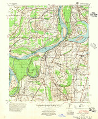 1955 Farrell1955 Print · USGSThe Mississippi Delta in the mid-fifties reveals a landscape shaped by shifting river channels and agricultural expansion. Local historians can locate early landings like Fitzhugh Ldg and trace family names at the Lonesome Pine Cem or Saunders Chapel & Cem.
 - 1955 Map of Helena, 1967 Print
 1955 Helena1967 Print · USGSThe Arkansas Delta and Mississippi floodplains are captured here in the mid-fifties, during a period of expanding flood control and rail commerce. Researchers can trace the extensive Chicago Rock Island and Pacific RR lines and locate sites like the Arkansas State College Experimental Rice Farm or Friars Point.2 unique versions available
 - 1959 Map of Helena
 1959 Helena1959 Print · USGSThe Arkansas and Mississippi Delta regions are captured here in the late fifties, showing a landscape defined by the Mississippi River and the Grand Prairie. Genealogists and researchers can trace the rail networks of the Illinois Central RR and locate community landmarks like Helena and the White River National Wildlife Refuge.
 - 1960 Map of Helena
 1960 Helena1960 Print · USGSThe Arkansas and Mississippi Delta regions meet along the great river bends during a period of significant agricultural and rail expansion. Genealogists and historians can trace the paths of the Missouri Pacific railroad through Clarendon or locate landings along the Mississippi River and White River.
 - 1964 Map of Moon Lake, 1965 Print
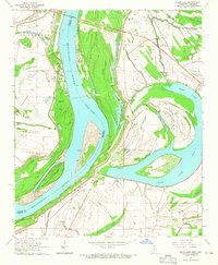 1964 Moon Lake1965 Print · USGSThe Mississippi River delta landscape comes alive in this mid-sixties survey, showcasing the complex waterways and rural settlements of the border region. Genealogists can trace family footprints through numerous local landmarks like Bethlehem Sch, Fredonia Cem, and Silver Cloud Ch.2 unique versions available
 - 1967 Map of Farrell
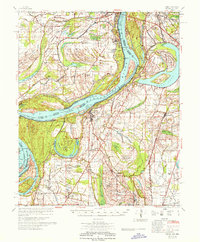 1967 Farrell1967 Print · USGSThe Mississippi Delta in the late sixties shows a landscape defined by industrial-scale agriculture and river engineering. Genealogists can trace family roots through numerous rural churches like Zion Traveler Ch and old estates such as Prairie Plantation or Stovall.
 - 1984 Map of Clarksdale, 1985 Print
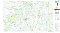 1984 Clarksdale1985 Print · USGSThe Mississippi Delta in the 1980s shows a landscape defined by its great river meanders and a dense network of bayous and rail lines. Researchers can trace the path of the Illinois Central Gulf through Clarksdale or locate river landmarks like Moon Lake and Friars Point.
 - 1990 Map of Clarksdale, 1991 Print
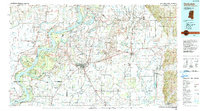 1990 Clarksdale1991 Print · USGSThe Mississippi Delta in the 1990s remained a landscape of river-driven commerce and small-town resilience. Researchers can trace the path of the Illinois Central Railroad through settlements like Clarksdale, Friars Point, and Alligator.
 - 2011 Map of Moon Lake, 2011 Print
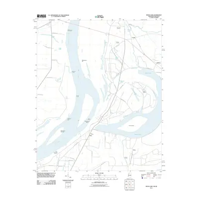 2011 Moon Lake2011 Print · USGSThe Mississippi River borderlands are captured here in the early twenty-first century as the river winds past the Arkansas shore. Genealogists and researchers can locate family landmarks like Mount Nebo Cemetery or trace the old landings at Fitzhugh Landing and Stokes Landing.
 - 2012 Map of Moon Lake, 2012 Print
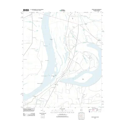 2012 Moon Lake2012 Print · USGSThe Mississippi River delta near the Arkansas-Mississippi border remains a landscape of oxbows and river landings in the early twenty-first century. Genealogists and researchers can locate rural burial grounds like Montroy Cem and Fredonia Cem or trace riverfront history at Stokes Landing and Gunhouse Chute.
 - 2015 Map of Moon Lake, 2015 Print
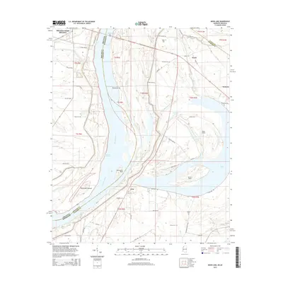 2015 Moon Lake2015 Print · USGSThe Mississippi Delta's shifting borderlands are captured here in the mid-2010s as the river winds past the Arkansas-Mississippi line. Researchers can trace family history through several rural burial sites like Delta Cem and Montroy Cem or explore the oxbow waters of Moon Lake.
 - 2018 Map of Moon Lake, 2018 Print
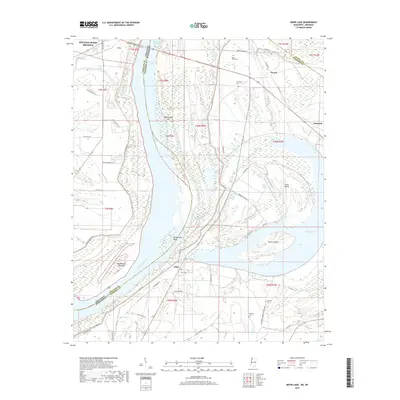 2018 Moon Lake2018 Print · USGSThe Mississippi Delta region comes to life in this recent survey of the river border between Arkansas and Mississippi. Researchers can trace the shifting river channel through Montezuma Cut-off or locate family history at Delta Cem and Montroy Cem.
 - 2020 Map of Moon Lake, 2020 Print
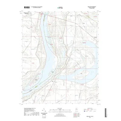 2020 Moon Lake2020 Print · USGSThe Mississippi River forms the winding heart of this Arkansas-Mississippi border region in the early twenty-first century. Family history researchers can trace local landmarks like Delta Cem, Mount Nebo Cem, and the riverfront at Montezuma Bar.
 - 2024 Map of Moon Lake, 2024 Print
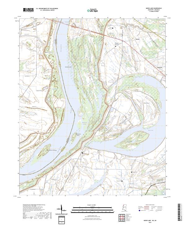 2024 Moon Lake2024 Print · USGSThe Mississippi River floodplain comes into sharp focus here in 2024, showing the intricate relationship between the river and the delta landscape. Researchers can locate several burial grounds like Delta Cem and Fredonia Cem, or trace landmarks like Alcorn Island.
End of results
Showing maps 1-19 of 19
Top cities near Delta
- Clarksdale historical maps
- Helena-West Helena historical maps
- Jonestown historical maps
- Friars Point historical maps
- Lake View historical maps
- Lyon historical maps
See more
Frequently asked questions
- What are the different types of historical maps available for Delta?
- What is the oldest map of Delta?
- Where can I purchase historical maps of Delta for my home or office?
- Where can I download high-res historical maps of Delta?
- Are there historical topographic maps available for Delta?
- Is there historical aerial imagery available for Delta?
- Where are historical maps of Delta sourced from?