2000s (21st Century) Maps of Hazlehurst, Mississippi
Explore 20 historic maps of Hazlehurst from the 2000s (21st Century). These maps offer a rare glimpse into what life looked like during the 2000s — showing old roads, neighborhoods, homes, and landmarks that have changed or disappeared over time.
Whether you're researching your family's past, planning a metal detecting trip, or studying how Hazlehurst's landscape evolved across the 2000s, these high-resolution maps are a powerful tool for exploring the history of this region.
- Focus on a specific era: All maps on this page are from the 2000s, giving you a focused view of this time period.
- See what’s changed: Compare century-old streets, trails, and buildings to today's modern landscape using overlays and satellite layers.
- Research with precision: Use these maps for genealogy, historical research, land use analysis, or educational projects.
- View, download, or print: Maps are fully viewable online in high resolution, and can be downloaded or printed for your own records.
Start exploring Hazlehurst's history through authentic maps from the 2000s. This is your window into the past.
Hazlehurst, MS maps
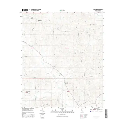
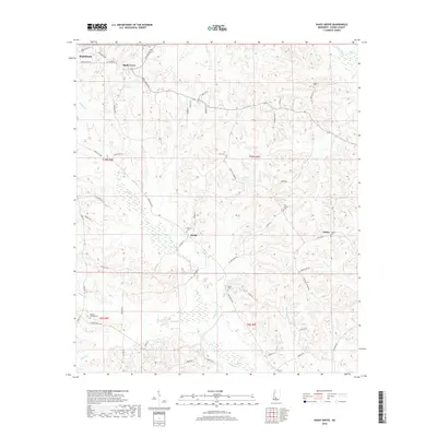
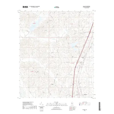
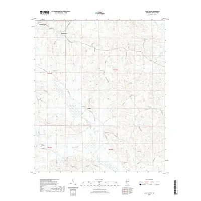
(20)- 2012 Map of Shady Grove, 2012 Print
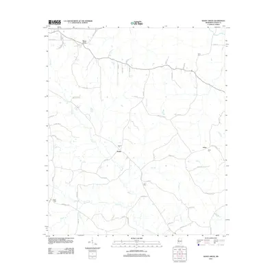 2012 Shady Grove2012 Print · USGSCovers Hazlehurst, including Ashley, Sardis, and other nearby areas
 - 2012 Map of Hazlehurst, 2012 Print
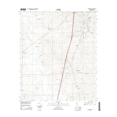
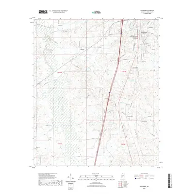
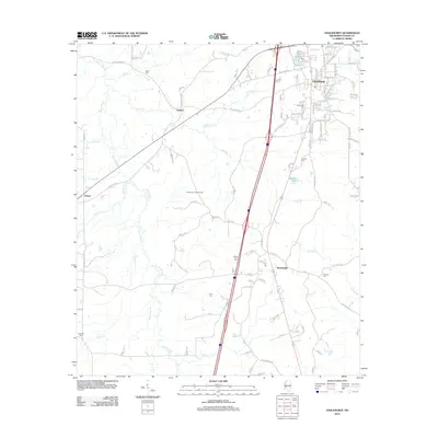 2012 Hazlehurst2012 Print · USGSCovers Hazlehurst, including Glancy, Gallatin, and other nearby areas
 - 2012 Map of Gallman, 2012 Print
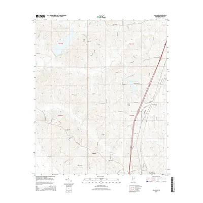
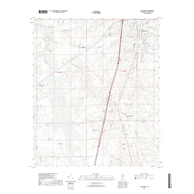
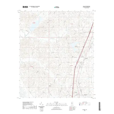
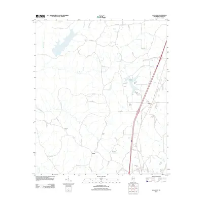 2012 Gallman2012 Print · USGSCovers Hazlehurst, including Gallman, Tillman, and other nearby areas
 - 2012 Map of Crystal Springs, 2012 Print
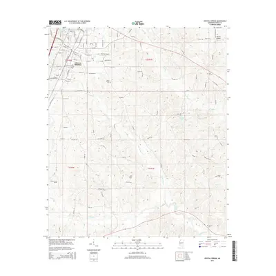
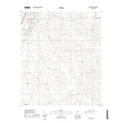
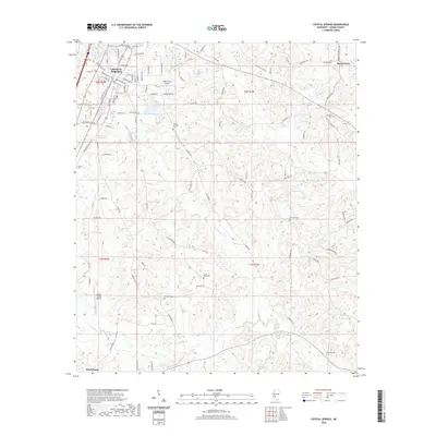
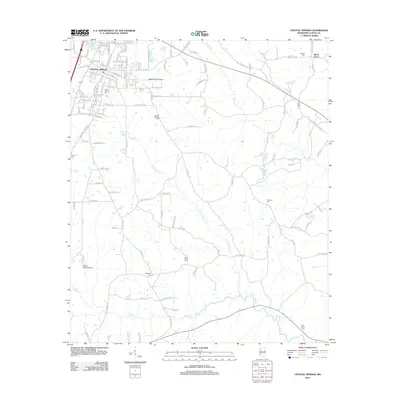 2012 Crystal Springs2012 Print · USGSCovers Hazlehurst, including Crystal Springs, Beech Grove, and other nearby areas
 - 2015 Map of Crystal Springs, 2015 Print
 2015 Crystal Springs2015 Print · USGSCovers Hazlehurst, including Crystal Springs, Beech Grove, and other nearby areas
 - 2015 Map of Shady Grove, 2015 Print
 2015 Shady Grove2015 Print · USGSCovers Hazlehurst, including Ashley, Sardis, and other nearby areas
 - 2015 Map of Hazlehurst, 2015 Print
 2015 Hazlehurst2015 Print · USGSCovers Hazlehurst, including Glancy, Gallatin, and other nearby areas
 - 2015 Map of Gallman, 2015 Print
 2015 Gallman2015 Print · USGSCovers Hazlehurst, including Gallman, Tillman, and other nearby areas
 - 2018 Map of Shady Grove, 2018 Print
 2018 Shady Grove2018 Print · USGSCovers Hazlehurst, including Ashley, Sardis, and other nearby areas
 - 2018 Map of Crystal Springs, 2018 Print
 2018 Crystal Springs2018 Print · USGSCovers Hazlehurst, including Crystal Springs, Beech Grove, and other nearby areas
 - 2018 Map of Gallman, 2018 Print
 2018 Gallman2018 Print · USGSCovers Hazlehurst, including Gallman, Tillman, and other nearby areas
 - 2018 Map of Hazlehurst, 2018 Print
 2018 Hazlehurst2018 Print · USGSCovers Hazlehurst, including Glancy, Gallatin, and other nearby areas
 - 2020 Map of Crystal Springs, 2020 Print
 2020 Crystal Springs2020 Print · USGSCovers Hazlehurst, including Crystal Springs, Beech Grove, and other nearby areas
 - 2020 Map of Hazlehurst, 2020 Print
 2020 Hazlehurst2020 Print · USGSCovers Hazlehurst, including Glancy, Gallatin, and other nearby areas
 - 2020 Map of Shady Grove, 2020 Print
 2020 Shady Grove2020 Print · USGSCovers Hazlehurst, including Ashley, Sardis, and other nearby areas
 - 2020 Map of Gallman, 2020 Print
 2020 Gallman2020 Print · USGSCovers Hazlehurst, including Gallman, Tillman, and other nearby areas
 - 2024 Map of Shady Grove, 2024 Print
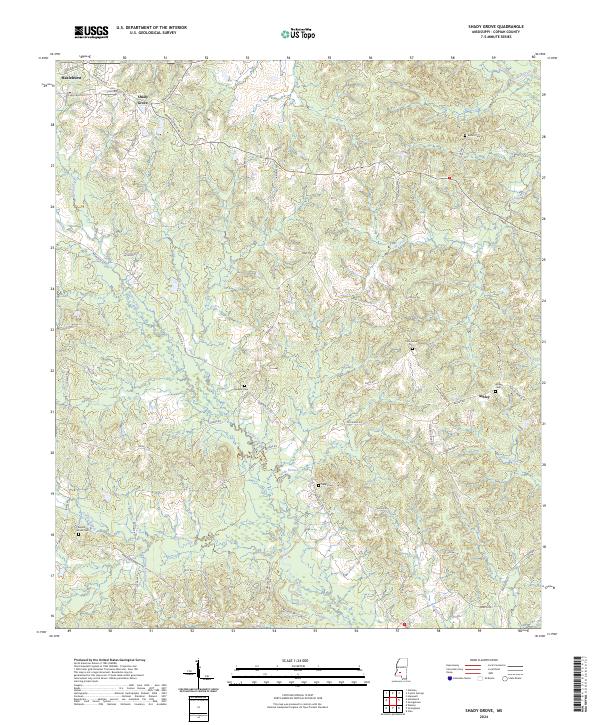 2024 Shady Grove2024 Print · USGSCopiah County is mapped here in its modern rural character, defined by creek-bottom farming and timbered ridges. Genealogists can trace family footprints across Shady Grove and Ashley or locate legacy burial sites like Ashley Cem and Sardis Cem.
 - 2024 Map of Hazlehurst, 2024 Print
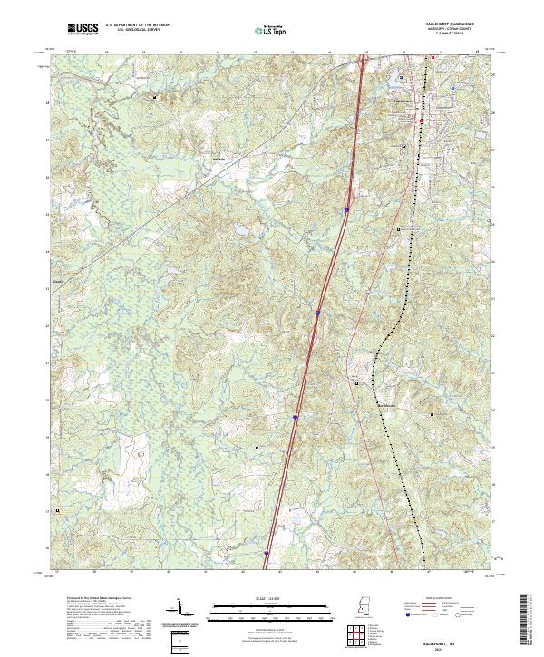 2024 Hazlehurst2024 Print · USGSHazlehurst and the surrounding Copiah County countryside are documented here in the early twenty-first century, showing a landscape shaped by deep-rooted Mississippi history. Researchers can trace family sites from Hazlehurst Cem to Martinsville, or locate civic landmarks like the Copiah County Courthouse.
 - 2024 Map of Crystal Springs, 2024 Print
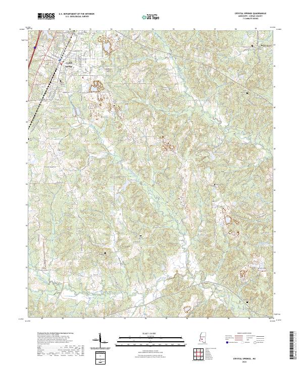 2024 Crystal Springs2024 Print · USGSCrystal Springs and the surrounding Copiah County countryside are documented here in detail during the early 2020s. Researchers can trace family history through numerous rural sites like Bethesda Cem, Harmony Cem, and the community of Beech Grove.
 - 2024 Map of Gallman, 2024 Print
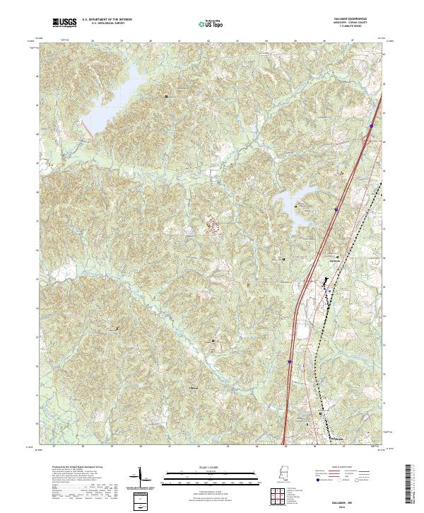 2024 Gallman2024 Print · USGSMississippi's central piney woods come into focus in this contemporary survey of northern Copiah County. Genealogists and historians can trace family roots through several local landmarks like Gallman Cem, Tillman, and Greater Damascus Church of Christ Cem.
End of results
Showing maps 1-20 of 20
Top cities near Hazlehurst
- Crystal Springs historical maps
- Wesson historical maps
- Georgetown historical maps
- Beauregard historical maps
Frequently asked questions
- What are the different types of historical maps available for Hazlehurst?
- What is the oldest map of Hazlehurst?
- Where can I purchase historical maps of Hazlehurst for my home or office?
- Where can I download high-res historical maps of Hazlehurst?
- Are there historical topographic maps available for Hazlehurst?
- Is there historical aerial imagery available for Hazlehurst?
- Where are historical maps of Hazlehurst sourced from?