2020s Maps of DeSoto County, Mississippi
Explore 30 historic maps of DeSoto County from the 2020s. These maps offer a rare glimpse into what life looked like during the 2020s — showing old roads, neighborhoods, homes, and landmarks that have changed or disappeared over time.
Whether you're researching your family's past, planning a metal detecting trip, or studying how DeSoto County's landscape evolved across the 2020s, these high-resolution maps are a powerful tool for exploring the history of this region.
- Focus on a specific era: All maps on this page are from the 2020s, giving you a focused view of this time period.
- See what’s changed: Compare century-old streets, trails, and buildings to today's modern landscape using overlays and satellite layers.
- Research with precision: Use these maps for genealogy, historical research, land use analysis, or educational projects.
- View, download, or print: Maps are fully viewable online in high resolution, and can be downloaded or printed for your own records.
Start exploring DeSoto County's history through authentic maps from the 2020s. This is your window into the past.
DeSoto County, MS maps
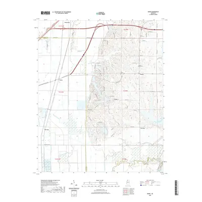
(30)- 2020 Map of Horseshoe Lake, 2020 Print
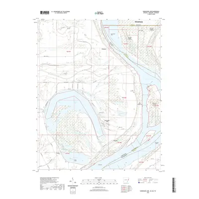 2020 Horseshoe Lake2020 Print · USGSCovers DeSoto County, including Memphis, Horseshoe Lake, and other nearby areas
 - 2020 Map of Arkabutla West, 2020 Print
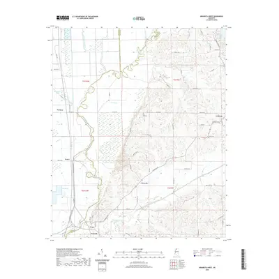 2020 Arkabutla West2020 Print · USGSCovers DeSoto County, including Evansville, Cottonville, and other nearby areas
 - 2020 Map of Frees Corners, 2020 Print
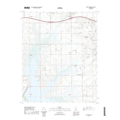 2020 Frees Corners2020 Print · USGSCovers DeSoto County, including Hernando, Pleasant Hill, and other nearby areas
 - 2020 Map of Robinsonville, 2020 Print
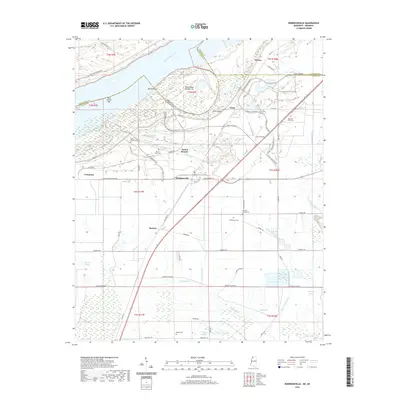 2020 Robinsonville2020 Print · USGSCovers DeSoto County, including Bowdre, Commerce, and other nearby areas
 - 2020 Map of Arkabutla East, 2020 Print
 2020 Arkabutla East2020 Print · USGSCovers DeSoto County, including Senatobia, Eliphaz, and other nearby areas
 - 2020 Map of Lake Cormorant, 2020 Print
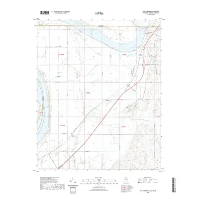 2020 Lake Cormorant2020 Print · USGSCovers DeSoto County, including Memphis, Walls, and other nearby areas
 - 2020 Map of Banks, 2020 Print
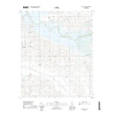
 2020 Banks2020 Print · USGSCovers DeSoto County, including Marienette, Eudora, and other nearby areas
 - 2020 Map of Horn Lake, 2020 Print
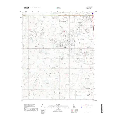 2020 Horn Lake2020 Print · USGSCovers DeSoto County, including Memphis, Southaven, and other nearby areas
 - 2021 Map of Byhalia NW, 2021 Print
 2021 Byhalia NW2021 Print · USGSCovers DeSoto County, including Piperton, Byhalia, and other nearby areas
 - 2021 Map of Hernando, 2021 Print
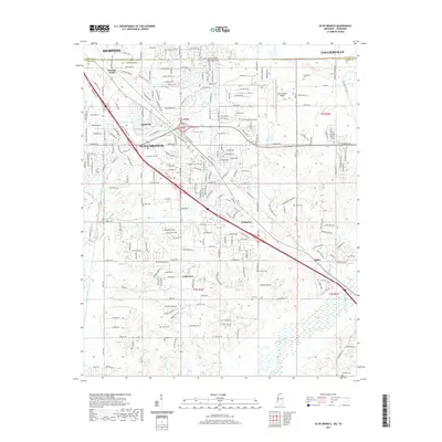
 2021 Hernando2021 Print · USGSCovers DeSoto County, including Hernando, Love, and other nearby areas
 - 2021 Map of Byhalia, 2021 Print
 2021 Byhalia2021 Print · USGSCovers DeSoto County, including Byhalia, Watson Center, and other nearby areas
 - 2021 Map of Pleasant Hill, 2021 Print
 2021 Pleasant Hill2021 Print · USGSCovers DeSoto County, including Memphis, Southaven, and other nearby areas
 - 2021 Map of Coldwater, 2021 Print
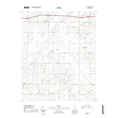
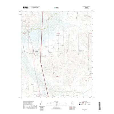 2021 Coldwater2021 Print · USGSCovers DeSoto County, including Senatobia, Coldwater, and other nearby areas
 - 2021 Map of Olive Branch, 2021 Print
 2021 Olive Branch2021 Print · USGSCovers DeSoto County, including Memphis, Olive Branch, and other nearby areas
 - 2021 Map of Lewisburg, 2021 Print
 2021 Lewisburg2021 Print · USGSCovers DeSoto County, including Ingrams Mill, Lewisburg, and other nearby areas
 - 2024 Map of Olive Branch, 2024 Print
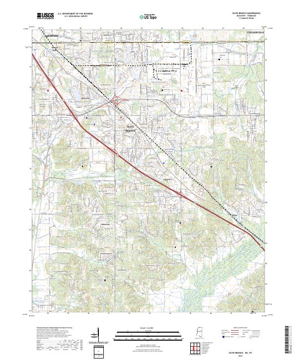 2024 Olive Branch2024 Print · USGSDeSoto County and the Tennessee state line are shown during a period of significant suburban expansion south of Memphis. Genealogists can trace family connections at numerous burial grounds like Blocker Cem and Bass Cem or locate the Stateline Church of Christ.
 - 2024 Map of Robinsonville, 2024 Print
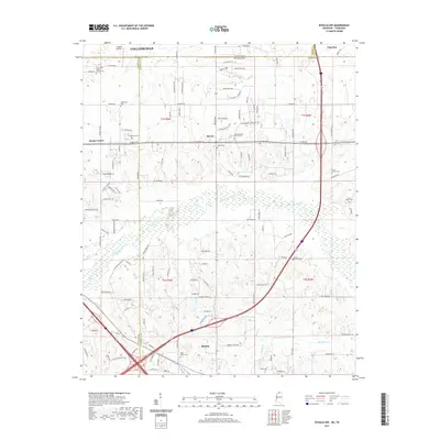
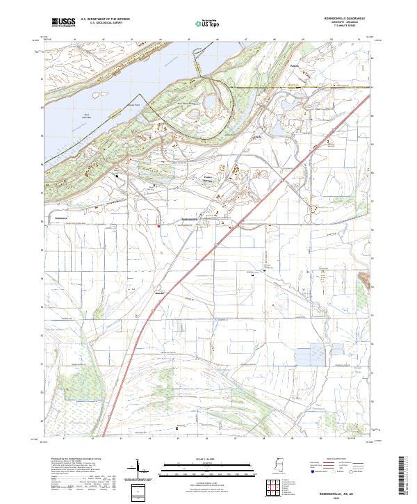 2024 Robinsonville2024 Print · USGSNorthwestern Mississippi comes into focus in this modern era, showing where the river's path meets the rise of large-scale resort development. Researchers can find numerous family and community burial sites like Rainey Cem and Johnson Chapel Cem near Robinsonville.
 - 2024 Map of Byhalia, 2024 Print
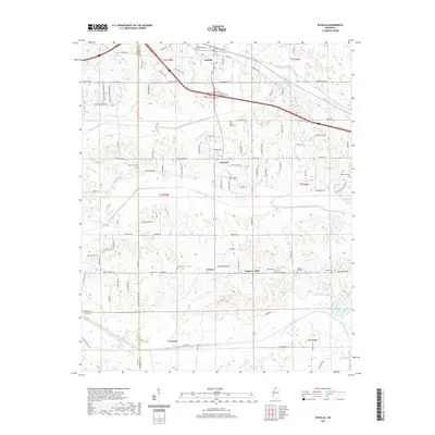
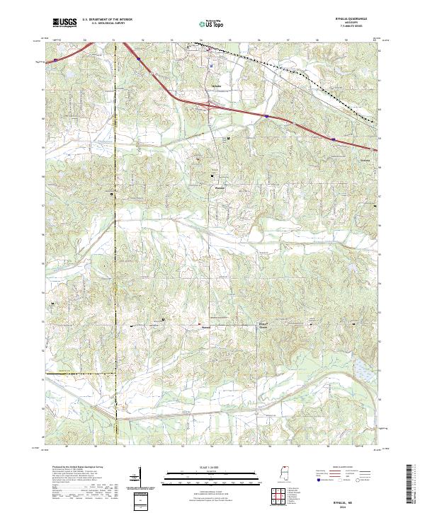 2024 Byhalia2024 Print · USGSByhalia and its rural surrounds come into focus in this contemporary survey of the Marshall County uplands. Genealogists can locate family landmarks at Harmonia Cem, Macedonia Cem, and the small community of Watson Center.
 - 2024 Map of Horn Lake, 2024 Print
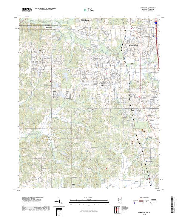 2024 Horn Lake2024 Print · USGSNorthern Mississippi's borderlands show a blend of suburban growth and rural history as the Memphis area expands south. Genealogists can trace early landmarks like William Henry Johnson Cem and the small settlements of Lynchburg and Nesbit.
 - 2024 Map of Arkabutla East, 2024 Print
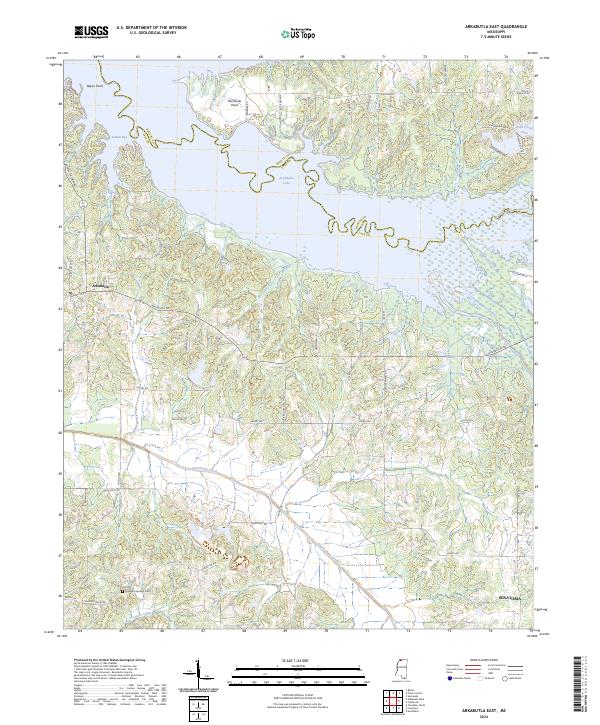 2024 Arkabutla East2024 Print · USGSTate County and the Arkabutla Lake region are documented in this recent survey, showcasing the area's transition from river bottomlands to a major reservoir. Genealogists can locate Singleton Springs Cem and trace the rural reaches of Senatobia and Arkabutla.
 - 2024 Map of Coldwater, 2024 Print
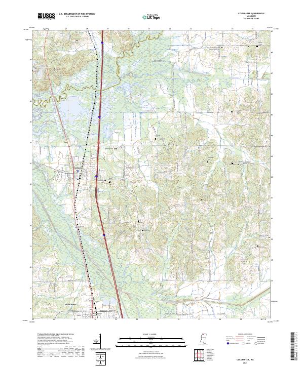 2024 Coldwater2024 Print · USGSThe northern Tate County corridor comes into focus in the early 2020s, showing the established communities of Coldwater and Senatobia. Genealogists can trace decades of local history through dozens of sites like Old Love Cem, Daniels Chapel, and the Northwest Mississippi Community College campus.
 - 2024 Map of Lewisburg, 2024 Print
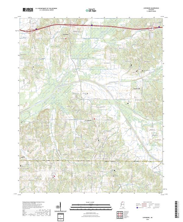 2024 Lewisburg2024 Print · USGSDeSoto and Tate Counties are documented here in recent years, showing the persistent rural character of North Mississippi. Local historians can trace family roots through numerous sites like Ingrams Mill, Alphaba, and the Winbourn Cem.
 - 2024 Map of Hernando, 2024 Print
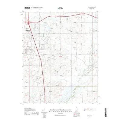
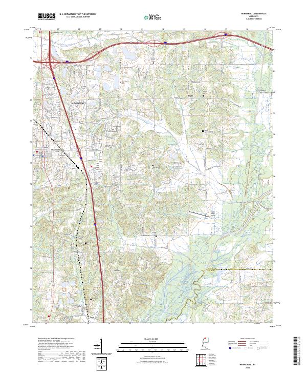 2024 Hernando2024 Print · USGSHernando and its surrounding rural townships are captured here as they appeared in the early 2020s. Researchers can trace local lineage across dozens of sites, from the DeSoto County Courthouse to remote landmarks like Knights Cem and Vaiden Landing.
 - 2024 Map of Horseshoe Lake, 2024 Print
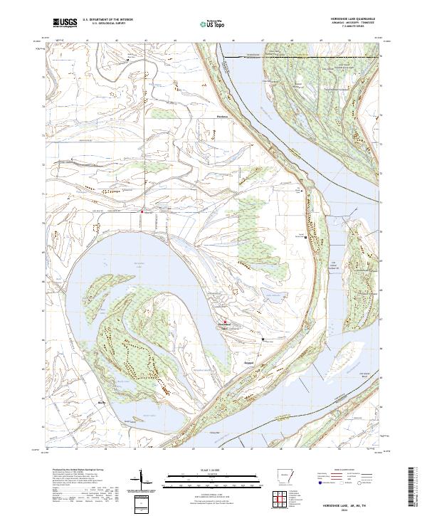 2024 Horseshoe Lake2024 Print · USGSThe Arkansas-Mississippi borderlands come into focus in this recent study of the great oxbow at Horseshoe Lake. Genealogists and historians can trace local landmarks from Bruins to Pinckney, locating rural burial sites like Rodgers Cem and Cat Island Cem.
 - 2024 Map of Pleasant Hill, 2024 Print
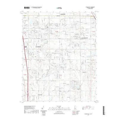
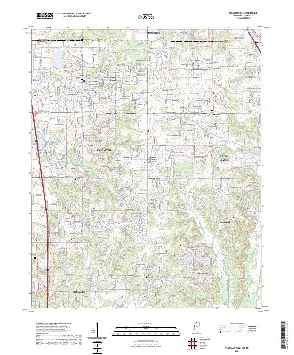 2024 Pleasant Hill2024 Print · USGSNorthern Mississippi and the Tennessee borderlands are captured here during a period of significant suburban growth. Researchers can locate many family burial grounds, including Avery Chapel Cem, Saint Thomas Cem, and Mount Olive Cem near Pleasant Hill.
Showing maps 1-25 of 30
Top cities of DeSoto County
- Southaven historical maps
- Olive Branch historical maps
- Horn Lake historical maps
- Hernando historical maps
- Walls historical maps
Frequently asked questions
- What are the different types of historical maps available for DeSoto County?
- What is the oldest map of DeSoto County?
- Where can I purchase historical maps of DeSoto County for my home or office?
- Where can I download high-res historical maps of DeSoto County?
- Are there historical topographic maps available for DeSoto County?
- Is there historical aerial imagery available for DeSoto County?
- Where are historical maps of DeSoto County sourced from?