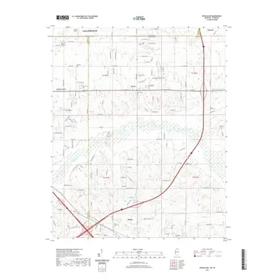
2021 Map of Byhalia NW
USGS Topo · Published 2021About this map
The state line between Tennessee and Mississippi bisects this landscape, where the southern outskirts of Collierville and Piperton transition into the rural communities of Barton and Byhalia. The terrain is defined by the winding course of the Coldwater River and its various tributaries like Lee Cr and Byhalia Cr. This area is dense with small, family-named and community cemeteries, including McGehee Cem, Haliburton Cem, and Saint Mathis Cem, which offer significant value for genealogical research. The road network connects older landmarks like Colonial Air Park with numerous local churches such as Center Hill Baptist Church and Eason Church. Modern transportation corridors and residential developments like Barton Heights Cove and Singing Trees show the continuing suburban reach across the county and state boundaries.
Find a feature on this map
86 named features on this map. Tap any name to fly to it.
Don’t see what you’re looking for? This feature index may not catch every label — zoom into the map to look around manually.
Map Details
Editions of this 2021 Byhalia NW Map
This is the sole edition of this map. No revisions or reprints were ever made.
Other maps of this area

1943 · Collierville
USGS Topo · 1:62,500

1944 · Hernando
USGS Topo · 1:62,500

1948 · Byhalia
USGS Topo · 1:62,500

1953 · Collierville
USGS Topo · 1:50,000

1956 · Blytheville
USGS Topo · 1:250,000

1956 · Tupelo
USGS Topo · 1:250,000

1958 · Tupelo
USGS Topo · 1:250,000

1959 · Blytheville
USGS Topo · 1:250,000

1960 · Bartlett
USGS Topo · 1:62,500

1961 · Bartlett
USGS Topo · 1:62,500