Old Maps of Southaven, Mississippi for Hiking & Exploration
Hike through history with 29 historic maps of Southaven. Explore old trails, ghost towns, and forgotten backroads — perfect for outdoor adventurers and local explorers.
- Rediscover forgotten places: Map out old mining camps, roads, and footpaths that no longer exist on modern maps.
- Layer with modern tools: Combine with LiDAR or satellite views to plan hikes through historical terrain.
- Made for exploration: Popular among hikers, overlanders, and local history lovers.
Use these maps to find adventure and explore the hidden past of Southaven.
Southaven, MS maps
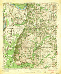
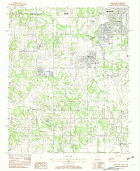
(29)- 1932 Map of Horn Lake
 1932 Horn Lake1932 Print · USGSNorthwest Mississippi and the river border come alive in the 1930s as the rail lines and river landings shaped local life. Genealogists can trace family footprints at Howards Store, Bynums Chapel, and Sunrise Sch and Ch near the banks of Horn Lake.3 unique versions available
 - 1935 Map of Horn Lake
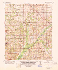
 1935 Horn Lake1935 Print · USGSThe Mississippi Delta and Tennessee borderlands meet here in the mid-1930s, showing a landscape of bluff-top farms and river-bottom bayous. Genealogists can trace family roots through dozens of local landmarks like Morning Star Ch, Eudora, and Sunrise Sch.2 unique versions available
 - 1944 Map of Hernando, 1946 Print
 1944 Hernando1946 Print · USGSDeSoto County communities and the rising waters of the Arkabutla Reservoir are documented here in the mid-1940s. Genealogists can locate family landmarks like Betts Sch Ch & Cemetery, the Drain Family Cem, and old schools in Cockrum or Lewisburg.3 unique versions available
 - 1948 Map of Helena
 1948 Helena1948 Print · USGSEastern Arkansas and the Mississippi Delta are captured here just after the war, showing a landscape defined by its great rivers and rail lines. Genealogists can trace family locations near Bemis Plantation, Helena, and smaller rail stops like Wheatley and Moro.
 - 1950 Map of Helena
 1950 Helena1950 Print · USGSMid-century Phillips County and the surrounding Delta region are shown at a peak of rail and river commerce. Genealogists and historians can trace family locations through numerous rural communities like Old Austin, Cotton Plant, and West Helena, or follow the routes of the Missouri Pacific RR across Grand Prairie.2 unique versions available
 - 1955 Map of Helena, 1967 Print
 1955 Helena1967 Print · USGSThe Arkansas Delta and Mississippi floodplains are captured here in the mid-fifties, during a period of expanding flood control and rail commerce. Researchers can trace the extensive Chicago Rock Island and Pacific RR lines and locate sites like the Arkansas State College Experimental Rice Farm or Friars Point.2 unique versions available
 - 1956 Map of Tupelo, 1967 Print
 1956 Tupelo1967 Print · USGSNortheast Mississippi and parts of Tennessee and Alabama are shown here during the mid-fifties, a time of major reservoir construction and forestry management. Researchers can trace the St Louis-San Francisco RR through Tupelo or locate historic sites like Tishomingo State Park and the University.2 unique versions available
 - 1958 Map of Tupelo
 1958 Tupelo1958 Print · USGSNortheast Mississippi and neighboring Alabama and Tennessee appear here during the late fifties as a region defined by new reservoirs and historic rail lines. Genealogists can trace family locations near Sardis Lake, Woodall Mountain, and the St Louis-San Francisco Ry.
 - 1959 Map of Helena
 1959 Helena1959 Print · USGSThe Arkansas and Mississippi Delta regions are captured here in the late fifties, showing a landscape defined by the Mississippi River and the Grand Prairie. Genealogists and researchers can trace the rail networks of the Illinois Central RR and locate community landmarks like Helena and the White River National Wildlife Refuge.
 - 1960 Map of Helena
 1960 Helena1960 Print · USGSThe Arkansas and Mississippi Delta regions meet along the great river bends during a period of significant agricultural and rail expansion. Genealogists and historians can trace the paths of the Missouri Pacific railroad through Clarendon or locate landings along the Mississippi River and White River.
 - 1961 Map of Horn Lake, 1978 Print
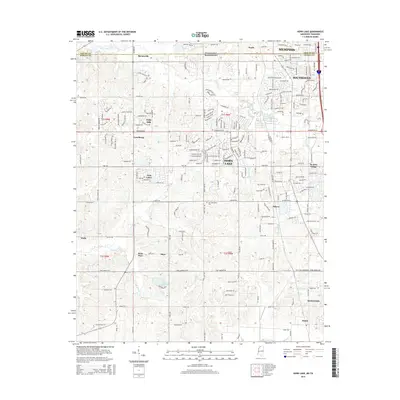
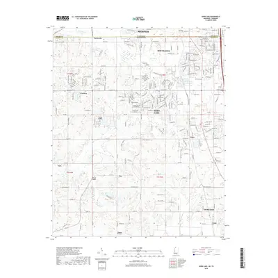
 1961 Horn Lake1978 Print · USGSDeSoto County and the Mississippi River bottoms are captured here in the early sixties as rural life centered on the river and rail lines. Genealogists can locate family landmarks like Howard Plantation, Lakeside Cem, and numerous country churches like New Hope Ch.
 - 1982 Map of Pleasant Hill
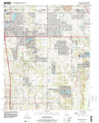
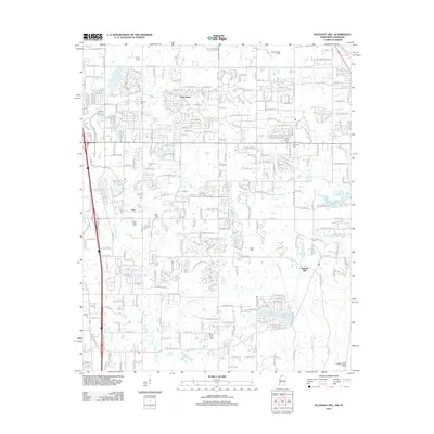
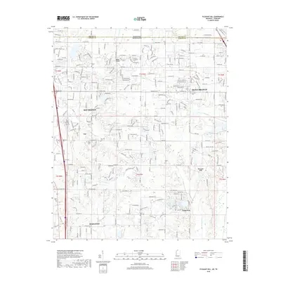
 1982 Pleasant Hill1982 Print · USGSDeSoto County and Shelby County meet in the early 1980s as suburban expansion reaches southward across the state line. Genealogists and local historians can trace the development of Southaven or locate the rural Pleasant Hill community and Sunrise Lake.
 - 1982 Map of Horn Lake
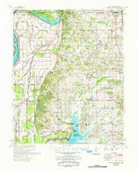
 1982 Horn Lake1982 Print · USGSNorthwestern Mississippi was undergoing a period of suburban expansion in the early eighties as the outskirts of the Delta met the growing reach of the city. Researchers can trace the development of Southaven and Horn Lake or locate rural sites like Nesbit and Deans Corner.
 - 1984 Map of Tupelo
 1984 Tupelo1984 Print · USGSNorth Mississippi in the 1980s is defined by its massive river basin reservoirs and the growing regional hubs of Tupelo and Oxford. Researchers can trace the legacy of the Pontotoc Ridge, find the University of Mississippi, and map early Interstate corridors near Sardis Lake.3 unique versions available
 - 1984 Map of Helena, 1985 Print
 1984 Helena1985 Print · USGSThe Delta landscape of Arkansas and Mississippi comes to life in this mid-eighties survey of river bends and ridge settlements. Researchers can trace the rail-and-river economy through Missouri Pacific lines and local landmarks like Whiskey Island or Marianna.
 - 1990 Map of Helena, 1991 Print
 1990 Helena1991 Print · USGSThe Arkansas and Mississippi delta regions meet here in the 1990s, where the great river's oxbows and islands define the state line. Genealogists and historians can trace the rail networks of the Illinois Central Gulf RR and local settlements like Palestine, Marvell, and La Grange.
 - 1996 Map of Pleasant Hill, 2001 Print
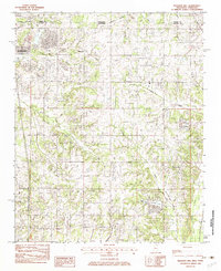
 1996 Pleasant Hill2001 Print · USGSDeSoto County at the turn of the millennium shows the transition from rural crossroads to suburban expansion south of the state line. Genealogists and local historians can trace family locations near Pleasant Hill, Nesbitt, and the old Welch Sta.
 - 2010 Map of Horn Lake, 2010 Print
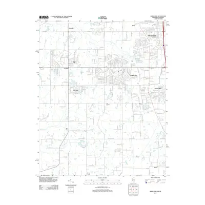
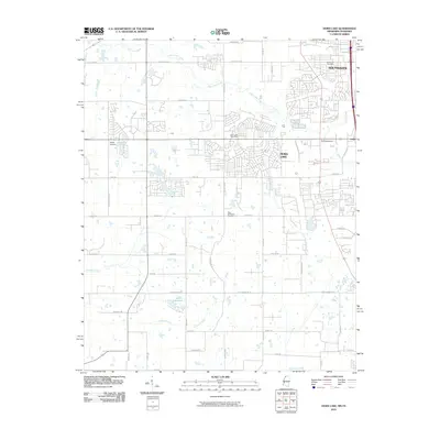 2010 Horn Lake2010 Print · USGSCovers Southaven, including Memphis, Horn Lake, and other nearby areas
 - 2010 Map of Pleasant Hill, 2010 Print
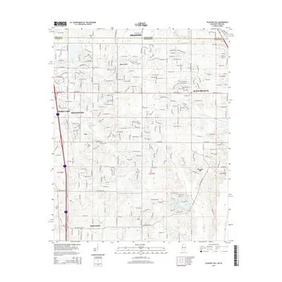
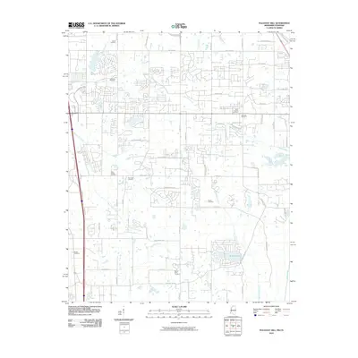 2010 Pleasant Hill2010 Print · USGSCovers Southaven, including Memphis, Olive Branch, and other nearby areas
 - 2012 Map of Horn Lake, 2012 Print
 2012 Horn Lake2012 Print · USGSCovers Southaven, including Memphis, Horn Lake, and other nearby areas
 - 2012 Map of Pleasant Hill, 2012 Print
 2012 Pleasant Hill2012 Print · USGSCovers Southaven, including Memphis, Olive Branch, and other nearby areas
 - 2015 Map of Pleasant Hill, 2015 Print
 2015 Pleasant Hill2015 Print · USGSCovers Southaven, including Memphis, Olive Branch, and other nearby areas
 - 2015 Map of Horn Lake, 2015 Print
 2015 Horn Lake2015 Print · USGSCovers Southaven, including Memphis, Horn Lake, and other nearby areas
 - 2018 Map of Pleasant Hill, 2018 Print
 2018 Pleasant Hill2018 Print · USGSCovers Southaven, including Memphis, Olive Branch, and other nearby areas
 - 2018 Map of Horn Lake, 2018 Print
 2018 Horn Lake2018 Print · USGSCovers Southaven, including Memphis, Horn Lake, and other nearby areas
Showing maps 1-25 of 29
Top cities near Southaven
- Memphis historical maps
- Germantown historical maps
- Olive Branch historical maps
- Horn Lake historical maps
- West Memphis historical maps
- Marion historical maps
See more
Top neighborhoods of Southaven
Frequently asked questions
- What are the different types of historical maps available for Southaven?
- What is the oldest map of Southaven?
- Where can I purchase historical maps of Southaven for my home or office?
- Where can I download high-res historical maps of Southaven?
- Are there historical topographic maps available for Southaven?
- Is there historical aerial imagery available for Southaven?
- Where are historical maps of Southaven sourced from?