Old Maps of Petal, Mississippi for Hiking & Exploration
Hike through history with 30 historic maps of Petal. Explore old trails, ghost towns, and forgotten backroads — perfect for outdoor adventurers and local explorers.
- Rediscover forgotten places: Map out old mining camps, roads, and footpaths that no longer exist on modern maps.
- Layer with modern tools: Combine with LiDAR or satellite views to plan hikes through historical terrain.
- Made for exploration: Popular among hikers, overlanders, and local history lovers.
Use these maps to find adventure and explore the hidden past of Petal.
Petal, MS maps
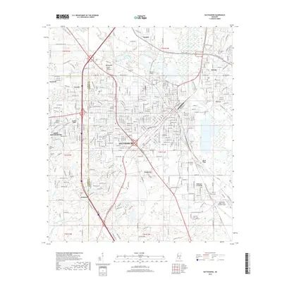
(30)- 1953 Map of Hattiesburg, 1965 Print
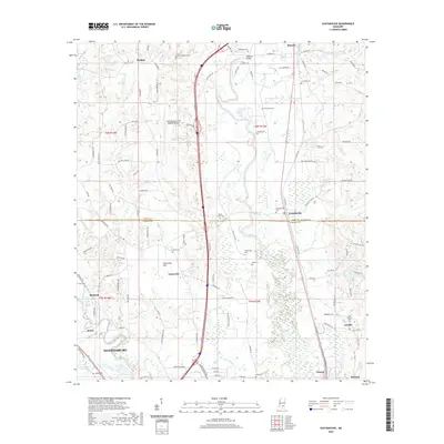
 1953 Hattiesburg1965 Print · USGSSouth Mississippi and western Alabama are shown here during the mid-twentieth century as the timber and rail industries shaped the region. Genealogists and historians can trace rail lines like the Mississippi Central and locate rural centers such as Magee, Richton, and Mount Vernon.4 unique versions available
 - 1958 Map of Hattiesburg
 1958 Hattiesburg1958 Print · USGSSoutheastern Mississippi's timber and rail networks are at their peak during the late fifties, centered on the growing hubs of Hattiesburg and Laurel. Researchers can trace old family landmarks like Sims Chapel, the Busbey Game Refuge, and the vanished stops along the Mississippi Central railroad.2 unique versions available
 - 1963 Map of Barrontown, 1964 Print
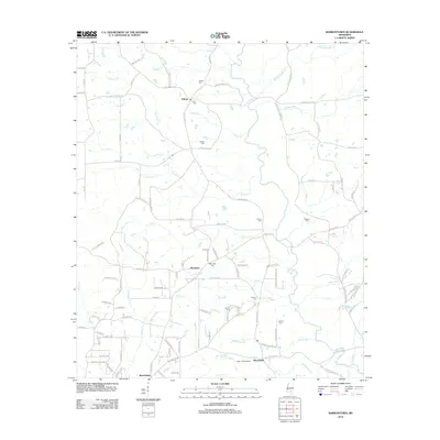
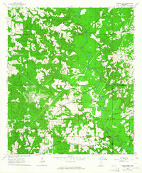 1963 Barrontown1964 Print · USGSThe rural piney woods at the junction of Jones, Forrest, and Perry Counties are documented here in the early 1960s. Genealogists and local historians can locate many family landmarks, from Macedonia Ch and Morriston to isolated burial sites like Barlow Cem.4 unique versions available
 - 1964 Map of Carterville
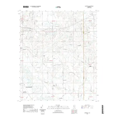
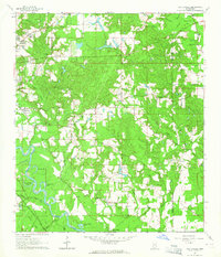 1964 Carterville1964 Print · USGSForrest County and the winding Leaf River basin are captured in the mid-1960s as rural settlements and river-valley industry coexisted. Genealogists can trace family landmarks like Sunrise Sch, Pine Grove Cem, and the tracks of the Bonhomie and Hattiesburg Southern Railroad.5 unique versions available
 - 1964 Map of Hattiesburg, 1965 Print
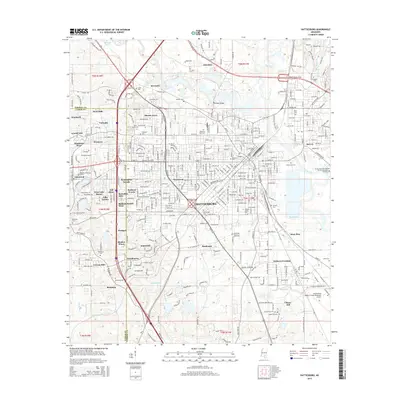
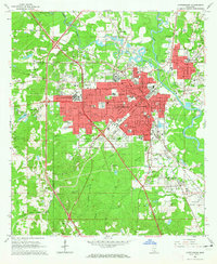 1964 Hattiesburg1965 Print · USGSHattiesburg flourished as a vital railway and educational crossroads in the mid-1960s. Genealogists and historians can trace the development of the University of Southern Mississippi and find vanished sites like Dixie Pine and Bonhomie.4 unique versions available
 - 1965 Map of Eastabuchie, 1966 Print
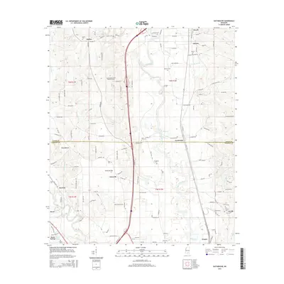
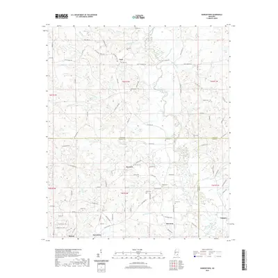
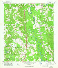 1965 Eastabuchie1966 Print · USGSThe Leaf River valley in the mid-sixties reveals a landscape of rural settlements and growing broadcast infrastructure along the Forrest and Jones county line. Genealogists can trace family names at Heidelberg Cem or Old Leeville Cem and locate community hubs like New Zion Ch and Eastabuchie.4 unique versions available
 - 1984 Map of Hattiesburg
 1984 Hattiesburg1984 Print · USGSSouth Mississippi’s Pine Belt is seen here in the mid-eighties, showing the region as a hub of timber production and petroleum extraction. Trace the rail lines of the Illinois Central Gulf RR through old settlements like Richton or the energy developments at the Heidelberg Oil Field.2 unique versions available
 - 1984 Map of Hattiesburg
 1984 Hattiesburg1984 Print · USGSSouth Mississippi’s timber and military heartland comes into focus during the mid-eighties, centering on the hub of Hattiesburg and the winding Pearl River. Researchers can trace the rail lines of the Illinois Central Gulf through old towns like Bassfield and Sumrall, or locate rural landmarks like Society Hill Ch.
 - 1994 Map of Hattiesburg, 1995 Print
 1994 Hattiesburg1995 Print · USGSSouth-central Mississippi's river valleys and timberlands are seen here in the mid-1990s as the region's transport network matured. Researchers can trace rural lineages through sites like Old Pioneer Cem and Spring Cottage or explore the vast Camp Shelby Military Reservation.
 - 1996 Map of Hattiesburg, 2000 Print
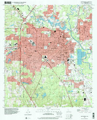 1996 Hattiesburg2000 Print · USGSHattiesburg and the neighboring community of Petal are shown in the mid-nineties during a period of steady institutional and suburban growth. Researchers can locate family landmarks like B'nai Israel Cem, trace the Illinois Central Gulf RR, or study the University of Southern Mississippi campus.
 - 2012 Map of Eastabuchie, 2012 Print
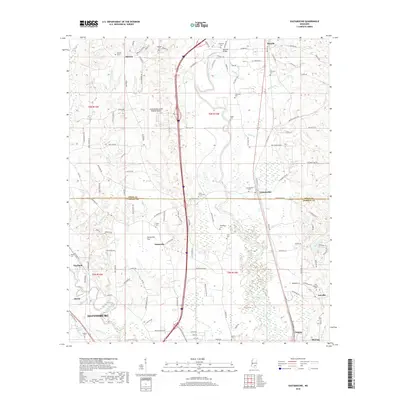
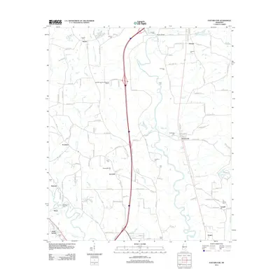 2012 Eastabuchie2012 Print · USGSCovers Petal, including Hattiesburg, Rawls Springs, and other nearby areas
 - 2012 Map of Carterville, 2012 Print
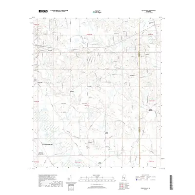
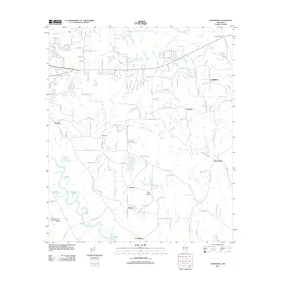 2012 Carterville2012 Print · USGSCovers Petal, including Hattiesburg, Corinth, and other nearby areas
 - 2012 Map of Hattiesburg, 2012 Print
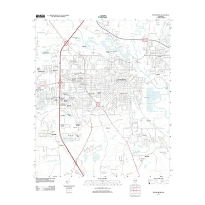 2012 Hattiesburg2012 Print · USGSCovers Petal, including Hattiesburg, Glendale, and other nearby areas
 - 2012 Map of Barrontown, 2012 Print
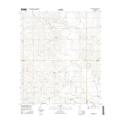
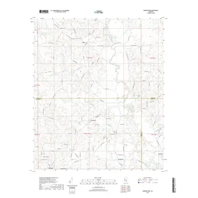
 2012 Barrontown2012 Print · USGSCovers Petal, including Barrontown, Union, and other nearby areas
 - 2015 Map of Hattiesburg, 2015 Print
 2015 Hattiesburg2015 Print · USGSCovers Petal, including Hattiesburg, Glendale, and other nearby areas
 - 2015 Map of Carterville, 2015 Print
 2015 Carterville2015 Print · USGSCovers Petal, including Hattiesburg, Corinth, and other nearby areas
 - 2015 Map of Barrontown, 2015 Print
 2015 Barrontown2015 Print · USGSCovers Petal, including Barrontown, Union, and other nearby areas
 - 2015 Map of Eastabuchie, 2015 Print
 2015 Eastabuchie2015 Print · USGSCovers Petal, including Hattiesburg, Rawls Springs, and other nearby areas
 - 2018 Map of Hattiesburg, 2018 Print
 2018 Hattiesburg2018 Print · USGSCovers Petal, including Hattiesburg, Glendale, and other nearby areas
 - 2018 Map of Eastabuchie, 2018 Print
 2018 Eastabuchie2018 Print · USGSCovers Petal, including Hattiesburg, Rawls Springs, and other nearby areas
 - 2018 Map of Carterville, 2018 Print
 2018 Carterville2018 Print · USGSCovers Petal, including Hattiesburg, Corinth, and other nearby areas
 - 2018 Map of Barrontown, 2018 Print
 2018 Barrontown2018 Print · USGSCovers Petal, including Barrontown, Union, and other nearby areas
 - 2020 Map of Eastabuchie, 2020 Print
 2020 Eastabuchie2020 Print · USGSCovers Petal, including Hattiesburg, Rawls Springs, and other nearby areas
 - 2020 Map of Carterville, 2020 Print
 2020 Carterville2020 Print · USGSCovers Petal, including Hattiesburg, Corinth, and other nearby areas
 - 2020 Map of Barrontown, 2020 Print
 2020 Barrontown2020 Print · USGSCovers Petal, including Barrontown, Union, and other nearby areas
Showing maps 1-25 of 30
Top cities near Petal
- Hattiesburg historical maps
- Ellisville historical maps
- Purvis historical maps
- New Augusta historical maps
Top neighborhoods of Petal
Frequently asked questions
- What are the different types of historical maps available for Petal?
- What is the oldest map of Petal?
- Where can I purchase historical maps of Petal for my home or office?
- Where can I download high-res historical maps of Petal?
- Are there historical topographic maps available for Petal?
- Is there historical aerial imagery available for Petal?
- Where are historical maps of Petal sourced from?