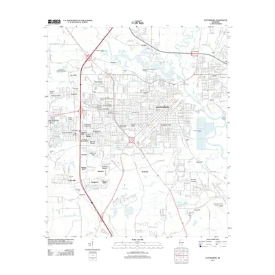
2012 Map of Hattiesburg
USGS Topo · Published 2012About this map
The Leaf River and Bouie River converge in this detailed mapping of the Hattiesburg region, illustrating a landscape defined by significant institutional and residential growth. The campus of the University of Southern Mississippi occupies a central role in the city's layout, featuring landmarks such as the Bernard Reed Green Coliseum and the All-American Rose Garden. Surrounding the urban core, numerous residential developments like Sharon Acres, Westover, and Kensington Woods showcase the suburban expansion that characterized the area in the early 21st century.
Find a feature on this map
205 named features on this map. Tap any name to fly to it.
Don’t see what you’re looking for? This feature index may not catch every label — zoom into the map to look around manually.
Map Details
Editions of this 2012 Hattiesburg Map
This is the sole edition of this map. No revisions or reprints were ever made.
Other maps of this area

1947 · New Augusta
USGS Topo · 1:62,500

1949 · New Augusta
USGS Topo · 1:62,500

1953 · Hattiesburg
USGS Topo · 1:250,000

1958 · Hattiesburg
USGS Topo · 1:250,000

1963 · Barrontown
USGS Topo · 1:24,000

1964 · Carterville
USGS Topo · 1:24,000

1964 · Purvis
USGS Topo · 1:24,000

1964 · Hattiesburg
USGS Topo · 1:24,000

1965 · Hattiesburg SW
USGS Topo · 1:24,000

1965 · Dixie
USGS Topo · 1:24,000