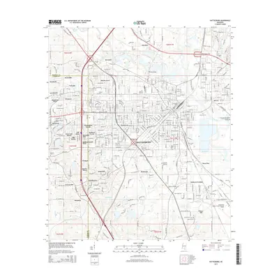
2015 Map of Hattiesburg
USGS Topo · Published 2015About this map
Hattiesburg serves as a major regional hub where the Leaf River and its tributaries like Gordons Cr and Burketts Cr define the eastern landscape. The city’s identity as an educational center is clear through the prominent campuses of the Univ of Southern Mississippi and William Carey Univ. Residential growth is heavily mapped across named subdivisions like Westwood, Innswood, and Kensington Woods, illustrating the mid-century to modern expansion of the city limits westward from the original riverfront core.
Find a feature on this map
75 named features on this map. Tap any name to fly to it.
Don’t see what you’re looking for? This feature index may not catch every label — zoom into the map to look around manually.
Map Details
Editions of this 2015 Hattiesburg Map
This is the sole edition of this map. No revisions or reprints were ever made.
Other maps of this area

1947 · New Augusta
USGS Topo · 1:62,500

1949 · New Augusta
USGS Topo · 1:62,500

1953 · Hattiesburg
USGS Topo · 1:250,000

1958 · Hattiesburg
USGS Topo · 1:250,000

1963 · Barrontown
USGS Topo · 1:24,000

1964 · Carterville
USGS Topo · 1:24,000

1964 · Purvis
USGS Topo · 1:24,000

1964 · Hattiesburg
USGS Topo · 1:24,000

1965 · Hattiesburg SW
USGS Topo · 1:24,000

1965 · Dixie
USGS Topo · 1:24,000