2020s Maps of Gulfport, Mississippi
Explore 10 historic maps of Gulfport from the 2020s. These maps offer a rare glimpse into what life looked like during the 2020s — showing old roads, neighborhoods, homes, and landmarks that have changed or disappeared over time.
Whether you're researching your family's past, planning a metal detecting trip, or studying how Gulfport's landscape evolved across the 2020s, these high-resolution maps are a powerful tool for exploring the history of this region.
- Focus on a specific era: All maps on this page are from the 2020s, giving you a focused view of this time period.
- See what’s changed: Compare century-old streets, trails, and buildings to today's modern landscape using overlays and satellite layers.
- Research with precision: Use these maps for genealogy, historical research, land use analysis, or educational projects.
- View, download, or print: Maps are fully viewable online in high resolution, and can be downloaded or printed for your own records.
Start exploring Gulfport's history through authentic maps from the 2020s. This is your window into the past.
Gulfport, MS maps
(10)- 2020 Map of Pass Christian, 2020 Print
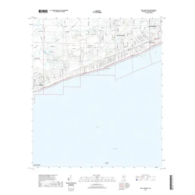 2020 Pass Christian2020 Print · USGSCovers Gulfport, including Long Beach, Pass Christian, and other nearby areas
 - 2021 Map of Gulfport NW, 2021 Print
 2021 Gulfport NW2021 Print · USGSCovers Gulfport, including Long Beach, New Hope, and other nearby areas
 - 2021 Map of Gulfport South, 2021 Print
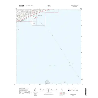 2021 Gulfport South2021 Print · USGSCovers Gulfport, including Long Beach, Harrison County, and other nearby areas
 - 2021 Map of Gulfport North, 2021 Print
 2021 Gulfport North2021 Print · USGSCovers Gulfport, including Biloxi, Landon, and other nearby areas
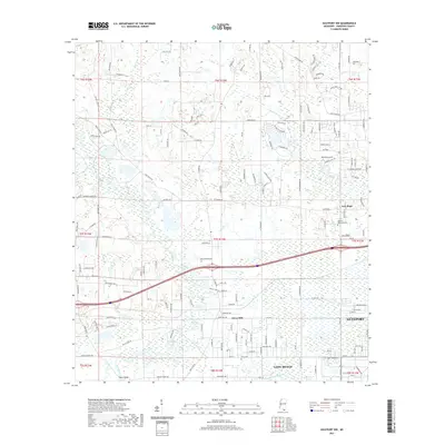
 - 2021 Map of Success, 2021 Print
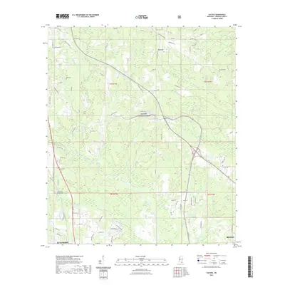 2021 Success2021 Print · USGSCovers Gulfport, including Success, Harrison County, and other nearby areas
 - 2024 Map of Pass Christian, 2024 Print
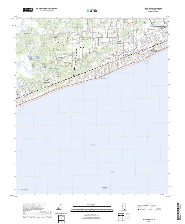 2024 Pass Christian2024 Print · USGSThe Mississippi Sound shoreline comes alive in the mid-2020s, showing the modern interface between the Intracoastal Waterway and the growing coastal towns. Trace local heritage at the University of Southern Mississippi Gulf Park Campus or family sites like Courtenay Cem.
 - 2024 Map of Success, 2024 Print
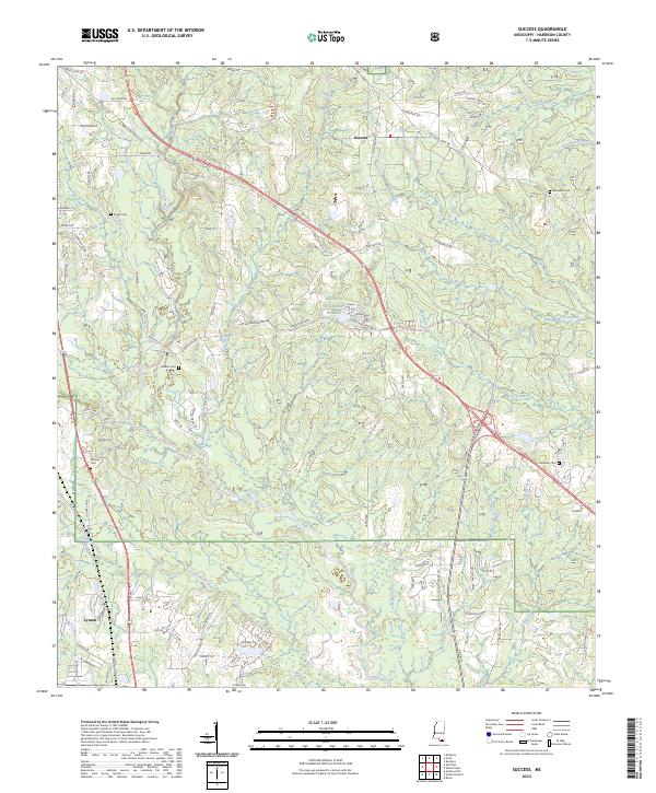 2024 Success2024 Print · USGSCoastal Mississippi’s piney woods and river forks are captured here in the contemporary era. Researchers can trace family history through sites like Rouse Cem and Williams Cem, or explore the rural layout of Success and Lyman.
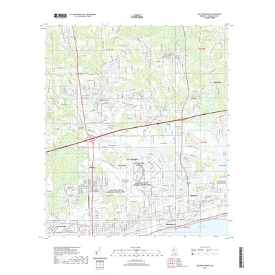
 - 2024 Map of Gulfport South, 2024 Print
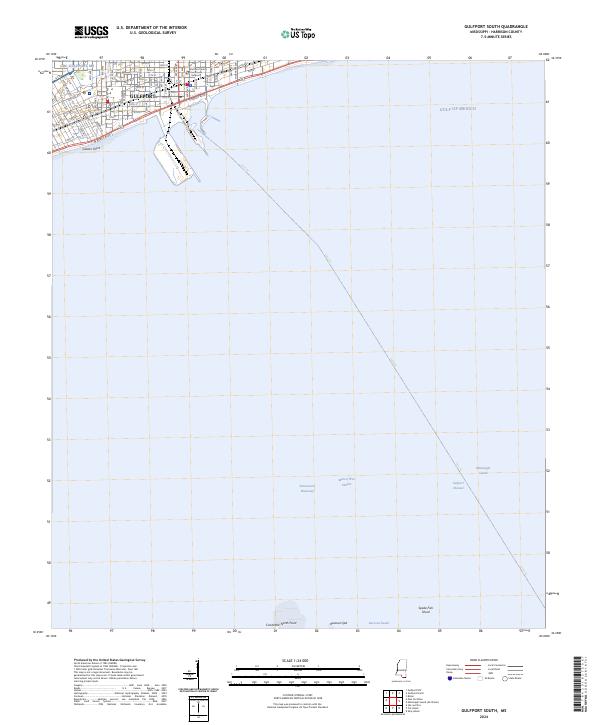 2024 Gulfport South2024 Print · USGSThe Harrison County coastline at Gulfport comes alive in this contemporary survey of the Mississippi Sound. Trace the urban layout near Gaston Point out to the maritime reaches of Man of War Harbor and the Intracoastal Waterway.
 - 2024 Map of Gulfport North, 2024 Print
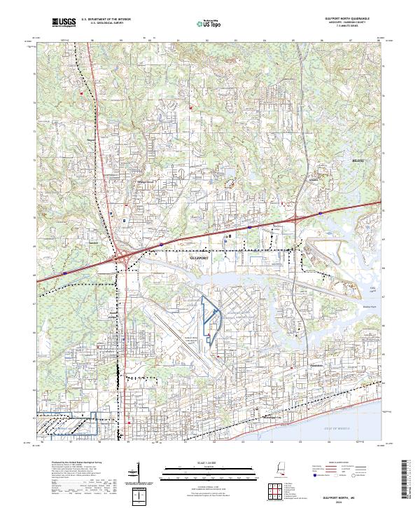 2024 Gulfport North2024 Print · USGSCoastal Harrison County comes into focus in this contemporary survey, where the historic shoreline of the Sound meets rapid inland development. Researchers can trace ancestral sites at Evergreen Cem, explore the old Hesters Ferry site, and locate landmarks like Saint Charles Ch.
 - 2024 Map of Gulfport NW, 2024 Print
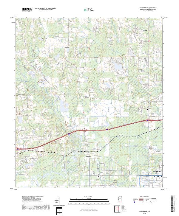 2024 Gulfport NW2024 Print · USGSHarrison County's inland reaches meet the growing outskirts of the coast in this detailed contemporary survey. Genealogists and local historians can trace the landscape around Lyman, Jones Mill, and the Allen Cem along the winding Wolf River.
End of results
Showing maps 1-10 of 10
Top cities near Gulfport
- Biloxi historical maps
- Long Beach historical maps
- Ocean Springs historical maps
- D'Iberville historical maps
- Pass Christian historical maps
Top neighborhoods of Gulfport
- Handsboro historical maps
- Lyman historical maps
- Mississippi City historical maps
- North Gulfport historical maps
- Nugent historical maps
- West Gulfport historical maps
See more
Frequently asked questions
- What are the different types of historical maps available for Gulfport?
- What is the oldest map of Gulfport?
- Where can I purchase historical maps of Gulfport for my home or office?
- Where can I download high-res historical maps of Gulfport?
- Are there historical topographic maps available for Gulfport?
- Is there historical aerial imagery available for Gulfport?
- Where are historical maps of Gulfport sourced from?