Old Maps of Gulfport, Mississippi for Academic Research
Study the evolution of Gulfport with 45 high-resolution historic maps. Whether you're teaching, researching, or modeling changes in land use, these maps provide essential visual documentation of urban, environmental, and geographic change.
- Analyze long-term change: Track patterns in development, transportation, and natural features.
- Ideal for environmental or urban studies: Support academic projects with primary historical map data.
- Use in the classroom or lab: Educators and researchers rely on these maps to bring historical context to life.
These maps are a powerful tool for teaching, research, and visualizing how Gulfport has changed over the decades.
Gulfport, MS maps
(45)- 1953 Map of Mobile, 1968 Print
 1953 Mobile1968 Print · USGSThe Gulf Coast comes alive in this mid-century survey, from the streets of Mobile to the marshes of New Orleans. Trace family roots in coastal towns like Pass Christian and Bayou La Batre or locate military landmarks including Keesler AFB.3 unique versions available
 - 1954 Map of McHenry, 1955 Print
 1954 McHenry1955 Print · USGSHarrison County's timberlands and railroad towns are shown here in the mid-1950s as the De Soto National Forest was being actively managed. Genealogists and local historians can locate early landmarks like Yellow Fever Cemetery, Advance School, and the Illinois Central rail line.3 unique versions available
 - 1954 Map of Gulfport North, 1958 Print
 1954 Gulfport North1958 Print · USGSCoastal Mississippi in the mid-fifties reveals a landscape shaped by growing urban centers and sprawling federal installations. Researchers can trace the development of Gulfport and Mississippi City alongside the Illinois Central tracks and the Veterans Hospital.6 unique versions available
 - 1954 Map of Gulfport South, 1958 Print
 1954 Gulfport South1958 Print · USGSGulfport and its deep-water harbor are captured here in the mid-fifties, showing a coastal economy built on rail and sea. Trace the shipping lanes of the Gulfport Channel or locate landmarks like Gaston Point and the U S Naval Reservation.4 unique versions available
 - 1955 Map of Pass Christian, 1958 Print
 1955 Pass Christian1958 Print · USGSThe Mississippi coast in the mid-fifties reveals a landscape of historic land grants and growing shorefront communities. Genealogists can locate family names on the Alexander Dimitry Claim or trace local landmarks like Gulf Park College and Courtenay Cem.6 unique versions available
 - 1956 Map of Gulfport NW, 1960 Print
 1956 Gulfport NW1960 Print · USGSHarrison County's coastal hinterlands are captured here in the mid-fifties, showing a landscape of river bends and early naval infrastructure. Genealogists and local historians can locate the Alexander Dimitry Claim, Allen Cem, and the old settlement at Jones Mill.5 unique versions available
 - 1957 Map of Mobile
 1957 Mobile1957 Print · USGSThe Gulf Coast in the mid-1950s reveals a bustling corridor of rail-and-river commerce connecting Alabama to Louisiana. Genealogists and historians can trace old settlements and military hubs from Keesler Afb to the coastal reaches of Ship Island and Bogalusa.3 unique versions available
 - 1960 Map of Mobile
 1960 Mobile1960 Print · USGSThe Gulf Coast at the dawn of the sixties shows a landscape of busy ports, military airbases, and barrier islands. Trace the rail lines of the Louisville & Nashville through BILOXI and Pascagoula or find family history in towns like Bayou La Batre and Poplarville.
 - 1963 Map of Mobile
 1963 Mobile1963 Print · USGSThe Gulf Coast at the dawn of the sixties shows a thriving maritime and military corridor from Louisiana to Alabama. Genealogists and historians can trace rail lines like the Louisville & Nashville RR and find landmarks from Brookley AFB to Fort Morgan.
 - 1965 Map of Mobile
 1965 Mobile1965 Print · USGSThe Gulf Coast at mid-century reveals a landscape of expanding ports and vital military installations from Louisiana to Alabama. Genealogists and historians can trace the growth of Biloxi, Pascagoula, and Mobile, alongside the sprawling De Soto National Forest.
 - 1982 Map of Success, 1983 Print
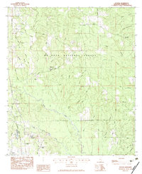 1982 Success1983 Print · USGSHarrison County’s timberlands and rural communities are captured here in the early eighties. Genealogists can locate family landmarks like Rouse Cem and Blackwell Cem, while tracing the early development of Success and Lyman.
 - 1982 Map of Gulfport, 1983 Print
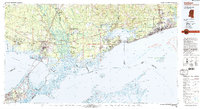 1982 Gulfport1983 Print · USGSThe Gulf Coast between Louisiana and Mississippi appears in the early eighties as a landscape of marshland and maritime industry. Researchers can trace the path of the Louisville and Nashville RR through towns like Waveland and De Lisle, or locate the sprawling National Space Technology Laboratories.2 unique versions available
 - 1984 Map of Bogalusa
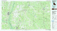 1984 Bogalusa1984 Print · USGSThe Pearl River basin on the Louisiana-Mississippi border comes into focus in the mid-1980s, showcasing a landscape of river-bottom swamps and timberlands. Local researchers can trace the growth of Bogalusa and Picayune or find rural landmarks like Macedonia Ch and Wheat Swamp.
 - 1984 Map of Mobile
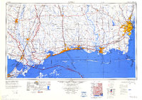 1984 Mobile1984 Print · USGSThe Gulf Coast at the height of the mid-eighties shows a landscape of rapid industrial growth and military significance. Researchers can trace the sprawling rail lines of the Illinois Central Gulf RR, locate the NASA Test Facility, or study the barrier island chain from Cat Island to Petit Bois Island.3 unique versions available
 - 1994 Map of Bogalusa
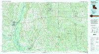 1994 Bogalusa1994 Print · USGSThe timber country and river bottoms of the Louisiana-Mississippi borderlands come alive in the mid-nineties. Genealogists and researchers can trace the rail-and-river geography of Bogalusa, the winding Pearl River, and family settlements like McNeill and Varnado.2 unique versions available
 - 1994 Map of Gulfport South, 1995 Print
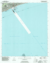 1994 Gulfport South1995 Print · USGSThe Mississippi coastline and its maritime infrastructure are the focus of this mid-nineties survey of the Gulfport waterfront. Genealogists and historians can trace local landmarks like St Johns Ch, Gaston Point Sch, and Jones Memorial Park.
 - 1994 Map of Pass Christian, 1995 Print
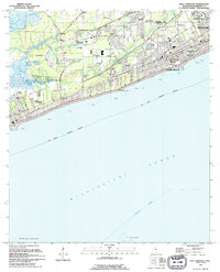 1994 Pass Christian1995 Print · USGSThe Mississippi coast in the early nineties shows the dense growth of Pass Christian and Long Beach. Genealogists and historians can trace institutional landmarks like the U S Naval Reservation and Courtenay Cem.
 - 1994 Map of Gulfport North, 1999 Print
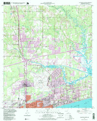 1994 Gulfport North1999 Print · USGSCoastal Mississippi in the 1990s shows a region of expanding neighborhoods and significant aviation and naval infrastructure. Researchers can trace family ties at the Evergreen Cem or locate community centers like the Orange Grove Sch and Beulah Ch.2 unique versions available
 - 1997 Map of Gulfport NW, 2000 Print
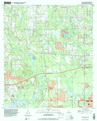 1997 Gulfport NW2000 Print · USGSHarrison County in the late nineties shows the inland growth north of the coast as suburban tracts met older rural landmarks. Trace local genealogy and land history through Jones Mill, Monroe Memorial Park, and the Alexander Dimitry Claim.
 - 2000 Map of Success, 2002 Print
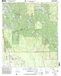 2000 Success2002 Print · USGSHarrison County at the start of the new millennium shows a landscape shaped by both coastal growth and federal forest management. Researchers can trace rural community centers and family roots at Success, Harrison Central High School, and the Morris Hill Ch.
 - 2012 Map of Gulfport South, 2012 Print
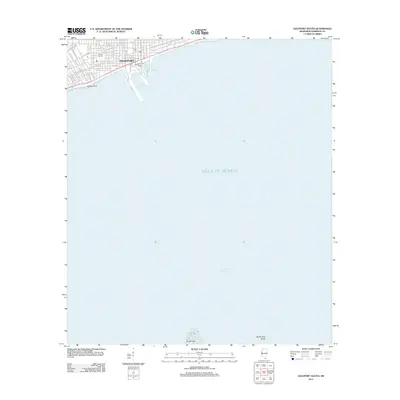 2012 Gulfport South2012 Print · USGSThe Mississippi Gulf Coast is captured here in the early twenty-first century, showing the intersection of maritime industry and urban life. Researchers can trace the waterfront layout of the Port of Gulfport, Gaston Point, and Milner Stadium.
 - 2012 Map of Success, 2012 Print
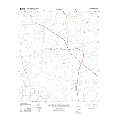 2012 Success2012 Print · USGSNorth of Gulfport during the early twenty-first century, this area of Harrison County shows a landscape of creek-fed timberlands and emerging rural communities. Genealogists and local historians can locate family landmarks like Saucier Cem and Williams Cem, or trace the grounds of the Lyman Fish Hatchery.
 - 2012 Map of Pass Christian, 2012 Print
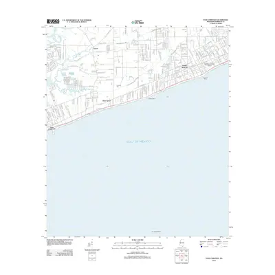 2012 Pass Christian2012 Print · USGSThe Mississippi shoreline comes alive in this modern survey of the historic harbor towns between the bayous and the sound. Genealogists and local historians can trace family locations near Courtenay Cem, the Long Beach Marina, and the University of Southern Mississippi-Gulf Park Campus.
 - 2012 Map of Gulfport NW, 2012 Print
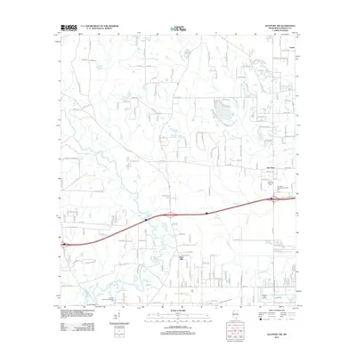 2012 Gulfport NW2012 Print · USGSHarrison County in the early twenty-first century reveals a landscape of growing residential communities and vital coastal waterways. Genealogists and local historians can trace family locations near Lyman and New Hope or find historical sites like Allen Cem.
 - 2012 Map of Gulfport North, 2012 Print
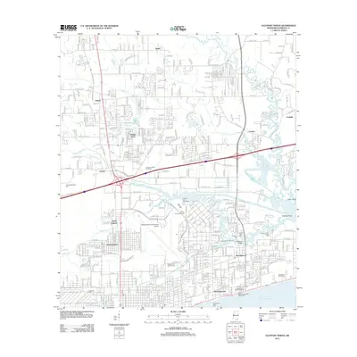 2012 Gulfport North2012 Print · USGSThe Mississippi coast in the early twenty-first century reveals a dense network of suburban neighborhoods and maritime heritage. Trace local genealogy at Evergreen Cem or follow the Kansas City Southern rail through Handsboro.
Showing maps 1-25 of 45
Top cities near Gulfport
- Biloxi historical maps
- Long Beach historical maps
- Ocean Springs historical maps
- D'Iberville historical maps
- Pass Christian historical maps
Top neighborhoods of Gulfport
- Handsboro historical maps
- Lyman historical maps
- Mississippi City historical maps
- North Gulfport historical maps
- Nugent historical maps
- West Gulfport historical maps
See more
Frequently asked questions
- What are the different types of historical maps available for Gulfport?
- What is the oldest map of Gulfport?
- Where can I purchase historical maps of Gulfport for my home or office?
- Where can I download high-res historical maps of Gulfport?
- Are there historical topographic maps available for Gulfport?
- Is there historical aerial imagery available for Gulfport?
- Where are historical maps of Gulfport sourced from?