Old Maps of Utica, Mississippi for Genealogy
Trace your family roots with 17 historic maps of Utica. These high-res maps reveal old neighborhoods, homesites, landmarks, and streets — helping you uncover where your ancestors lived and how the area evolved over time.
- Explore historic neighborhoods: Identify where your relatives may have lived in the 1800s or 1900s.
- Compare maps over time: Trace the changes in streets, buildings, and landmarks for multi-generational research.
- Perfect for genealogy & ancestry research: Used by family historians and researchers to map out lineage and migration.
These maps are an incredible resource for exploring your personal connection to Utica's past.
Utica, MS maps
(17)- 1955 Map of Jackson
 1955 Jackson1955 Print · USGSThe Lower Mississippi Valley at the middle of the century reveals a landscape of deep river meanders and growing rail hubs. Genealogists and historians can trace the mid-century footprints of Vicksburg National Military Park, old river landings at Port Gibson, and the rail corridors of the Illinois Central Railroad.3 unique versions available
 - 1961 Map of Jackson
 1961 Jackson1961 Print · USGSThe Lower Mississippi Delta and the state capital area are captured here during the post-war era of infrastructure expansion. Researchers can trace the complex river oxbows and rail lines connecting Vicksburg, Yazoo City, and the Illinois Central Railroad network.
 - 1962 Map of Jackson
 1962 Jackson1962 Print · USGSThe Mississippi Delta and the state capital region are mapped here in the early sixties, showing a landscape defined by the great river and the growing city of JACKSON. Genealogists can trace family roots through numerous landmarks like Cedar Hill Cem, rural stops on the Illinois Central RR, and historic sites like Champion Hill.2 unique versions available
 - 1962 Map of Utica West, 1964 Print
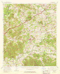
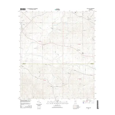
 1962 Utica West1964 Print · USGSThe Old Indian Treaty Boundary still defines the landscape of Hinds and Copiah counties in the early sixties as rural life centered on the Illinois Central railroad. Researchers can trace family history through dozens of rural landmarks like Reedtown, Seven Star Ch, and Fatherree Cem.
 - 1963 Map of Utica East, 1964 Print
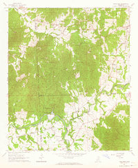
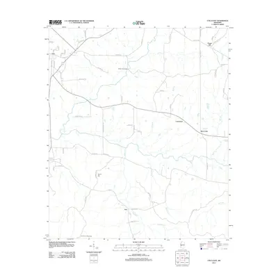
 1963 Utica East1964 Print · USGSHinds and Copiah Counties come alive in the early sixties as a region of winding creeks and rural academic life. Genealogists and local historians can trace family roots at St John Ch Cem, Strawbridge Ch, and the grounds of Utica Junior College.2 unique versions available
 - 1965 Map of Utica, 1967 Print
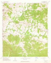
 1965 Utica1967 Print · USGSHinds and Copiah counties in the mid-1960s reveal a landscape of rural schools and rail-side towns. Genealogists can trace family roots through sites like Cayuga Sch, Utica Junior College, and the Seven Star Cem.2 unique versions available
 - 1984 Map of Jackson
 1984 Jackson1984 Print · USGSCentral Mississippi in the mid-eighties shows a landscape defined by the growing suburbs of Jackson and the riverfront legacy of Vicksburg. Researchers can trace the Natchez Trace Parkway or locate local landmarks like Utica College and Mississippi State Hospital.
 - 2012 Map of Utica West, 2012 Print
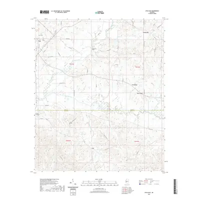
 2012 Utica West2012 Print · USGSCovers Utica, including Myles, Duke, and other nearby areas
 - 2012 Map of Utica East, 2012 Print
 2012 Utica East2012 Print · USGSCovers Utica, including Bear Creek, Jack, and other nearby areas
 - 2015 Map of Utica East, 2015 Print
 2015 Utica East2015 Print · USGSCovers Utica, including Bear Creek, Jack, and other nearby areas
 - 2015 Map of Utica West, 2015 Print
 2015 Utica West2015 Print · USGSCovers Utica, including Myles, Duke, and other nearby areas
 - 2018 Map of Utica East, 2018 Print
 2018 Utica East2018 Print · USGSCovers Utica, including Bear Creek, Jack, and other nearby areas
 - 2018 Map of Utica West, 2018 Print
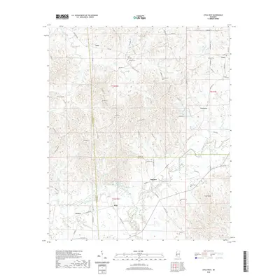
 2018 Utica West2018 Print · USGSCovers Utica, including Myles, Duke, and other nearby areas
 - 2020 Map of Utica East, 2020 Print
 2020 Utica East2020 Print · USGSCovers Utica, including Bear Creek, Jack, and other nearby areas
 - 2020 Map of Utica West, 2020 Print
 2020 Utica West2020 Print · USGSCovers Utica, including Myles, Duke, and other nearby areas
 - 2024 Map of Utica West, 2024 Print
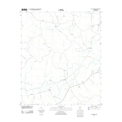
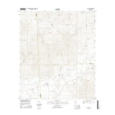
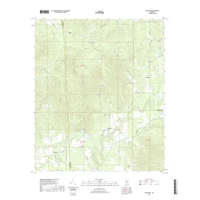
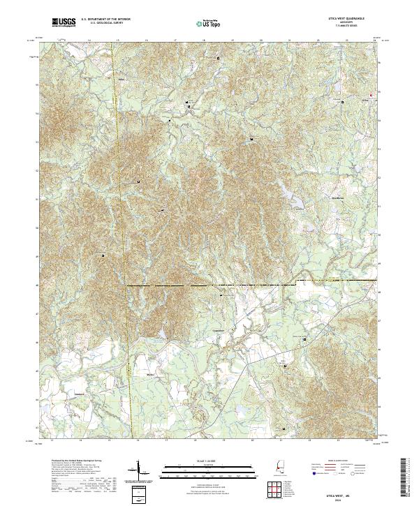 2024 Utica West2024 Print · USGSHinds County and the surrounding tri-county borders are captured here in the early twenty-first century as rural life persists among the creek basins. Genealogists can trace family roots at McClellan Cem or Seven Star Cem and locate homes near Utica and Reedtown.
 - 2024 Map of Utica East, 2024 Print
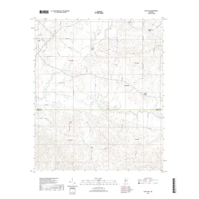
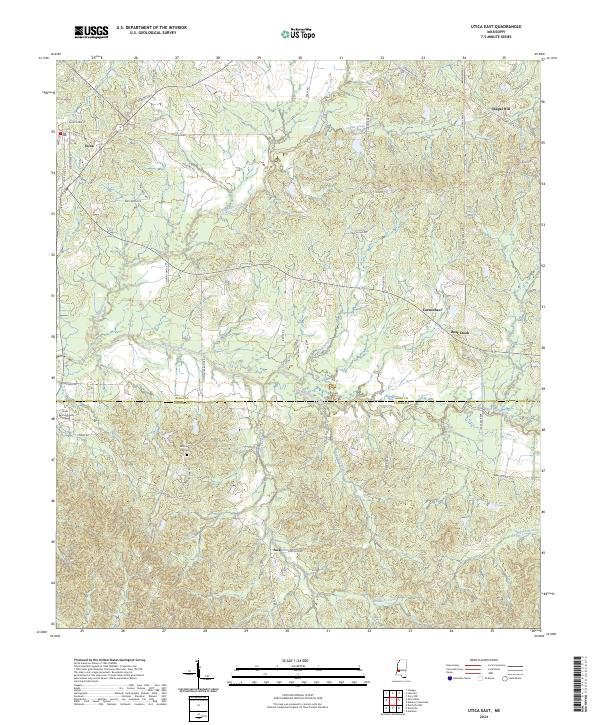 2024 Utica East2024 Print · USGSSettlement patterns across the Hinds and Copiah county line are preserved in this modern survey, highlighting the area’s rural development. Researchers can trace family-named routes and local landmarks like Morning Star Cem, Chapel Hill, and Tallahalla Creek.
End of results
Showing maps 1-17 of 17
Top cities near Utica
- Clinton historical maps
- Vicksburg historical maps
- Raymond historical maps
- Edwards historical maps
- Learned historical maps
Frequently asked questions
- What are the different types of historical maps available for Utica?
- What is the oldest map of Utica?
- Where can I purchase historical maps of Utica for my home or office?
- Where can I download high-res historical maps of Utica?
- Are there historical topographic maps available for Utica?
- Is there historical aerial imagery available for Utica?
- Where are historical maps of Utica sourced from?