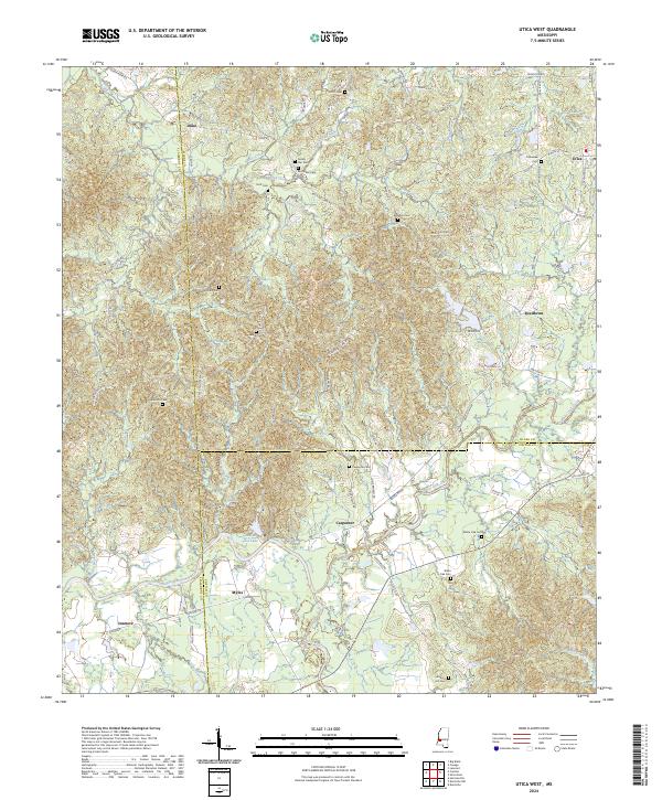
2024 Map of Utica West
USGS Topo · Published 2024About this map
Utica and Carpenter anchor this southwestern Hinds County landscape, where the terrain is deeply etched by a network of waterways including Big Sand Creek and Bayou Pierre. The map documents a transition from the rolling uplands of the north down toward the low-lying basins of Choctaw Creek and White Oak Creek. Genealogists will find a significant distribution of family and community burial grounds, such as Fatherree Cem, McClellan Cem, and Strong Hill Cem, many situated along older transport routes like Paul Gallows Rd and Reedtown Rd. Settlement patterns follow the winding path of Scutchalo Creek, while smaller communities like Duke and Myles reflect the rural development typical of this Mississippi border region near Claiborne and Copiah counties. Notable landmarks like Ruel-A-Lou Lake provide specific points of reference for those tracing historical land use and environmental changes.
Find a feature on this map
82 named features on this map. Tap any name to fly to it.
Don’t see what you’re looking for? This feature index may not catch every label — zoom into the map to look around manually.
Map Details
Editions of this 2024 Utica West Map
This is the sole edition of this map. No revisions or reprints were ever made.
Other maps of this area

1939 · Yokena
USGS Topo · 1:62,500

1953 · Natchez
USGS Topo · 1:250,000

1955 · Jackson
USGS Topo · 1:250,000

1956 · Natchez
USGS Topo · 1:250,000

1959 · Natchez
USGS Topo · 1:250,000

1961 · Jackson
USGS Topo · 1:250,000

1962 · Jackson
USGS Topo · 1:250,000

1962 · Utica West
USGS Topo · 1:24,000

1963 · Carlisle
USGS Topo · 1:24,000

1963 · Dentville NW
USGS Topo · 1:24,000