Old Maps of Soso, Mississippi for Hiking & Exploration
Hike through history with 17 historic maps of Soso. Explore old trails, ghost towns, and forgotten backroads — perfect for outdoor adventurers and local explorers.
- Rediscover forgotten places: Map out old mining camps, roads, and footpaths that no longer exist on modern maps.
- Layer with modern tools: Combine with LiDAR or satellite views to plan hikes through historical terrain.
- Made for exploration: Popular among hikers, overlanders, and local history lovers.
Use these maps to find adventure and explore the hidden past of Soso.
Soso, MS maps
(17)- 1953 Map of Hattiesburg, 1965 Print
 1953 Hattiesburg1965 Print · USGSSouth Mississippi and western Alabama are shown here during the mid-twentieth century as the timber and rail industries shaped the region. Genealogists and historians can trace rail lines like the Mississippi Central and locate rural centers such as Magee, Richton, and Mount Vernon.4 unique versions available
 - 1958 Map of Hattiesburg
 1958 Hattiesburg1958 Print · USGSSoutheastern Mississippi's timber and rail networks are at their peak during the late fifties, centered on the growing hubs of Hattiesburg and Laurel. Researchers can trace old family landmarks like Sims Chapel, the Busbey Game Refuge, and the vanished stops along the Mississippi Central railroad.2 unique versions available
 - 1965 Map of Hebron, 1966 Print
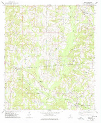
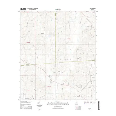
 1965 Hebron1966 Print · USGSJones County's rural landscape comes into focus during the mid-sixties, characterized by small-scale farming and timbered creek bottoms. Genealogists can locate several remote burial grounds and community pillars like Mt William Ch, Centerville Cem, and Hebron.3 unique versions available
 - 1974 Map of Soso, 1978 Print
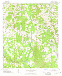
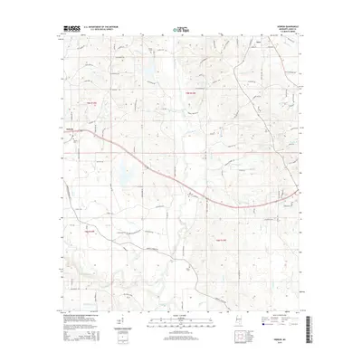
 1974 Soso1978 Print · USGSThe borderlands of Smith, Jasper, and Jones Counties are captured in the mid-1970s as the regional oil and gas industry matured. Trace old family sites and rural landmarks like Gitano, Knights Mill Cem, and Knight Cem Ch along the Illinois Central Gulf line.
 - 1984 Map of Hattiesburg
 1984 Hattiesburg1984 Print · USGSSouth Mississippi’s Pine Belt is seen here in the mid-eighties, showing the region as a hub of timber production and petroleum extraction. Trace the rail lines of the Illinois Central Gulf RR through old settlements like Richton or the energy developments at the Heidelberg Oil Field.2 unique versions available
 - 1984 Map of Laurel
 1984 Laurel1984 Print · USGSCentral Mississippi in the mid-eighties shows a landscape of timberlands and river valleys anchored by the growth of Laurel. Genealogists can trace family names near Oak Grove Ch, rural School sites, and settlements along the Illinois Central Gulf RR.
 - 1994 Map of Laurel
 1994 Laurel1994 Print · USGSThe piney woods of south-central Mississippi come into focus in the 1990s, centered on the timber and industrial hub of Laurel. Genealogists and researchers can trace the rural landscape between Collins and Bay Springs or locate homesites near Ellisville and Magee.
 - 2012 Map of Soso, 2012 Print
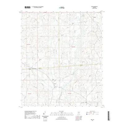
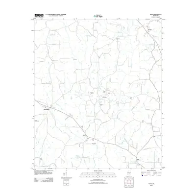 2012 Soso2012 Print · USGSCovers Soso, including Amy, Stringer, and other nearby areas
 - 2012 Map of Hebron, 2012 Print
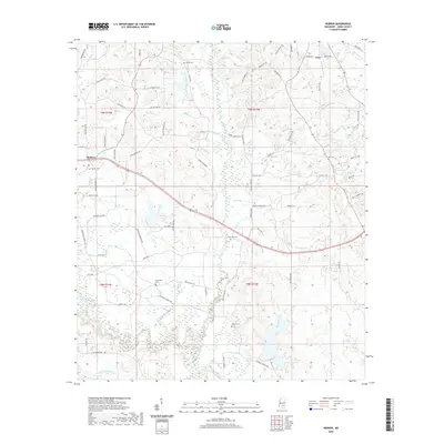
 2012 Hebron2012 Print · USGSCovers Soso, including Hebron, Jones County, and other nearby areas
 - 2015 Map of Hebron, 2015 Print
 2015 Hebron2015 Print · USGSCovers Soso, including Hebron, Jones County, and other nearby areas
 - 2015 Map of Soso, 2015 Print
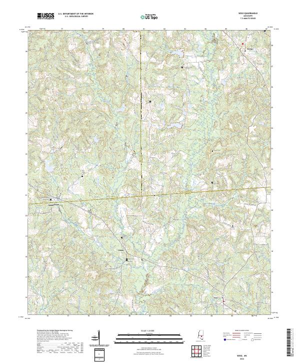
 2015 Soso2015 Print · USGSCovers Soso, including Amy, Stringer, and other nearby areas
 - 2018 Map of Hebron, 2018 Print
 2018 Hebron2018 Print · USGSCovers Soso, including Hebron, Jones County, and other nearby areas
 - 2018 Map of Soso, 2018 Print
 2018 Soso2018 Print · USGSCovers Soso, including Amy, Stringer, and other nearby areas
 - 2020 Map of Soso, 2020 Print
 2020 Soso2020 Print · USGSCovers Soso, including Amy, Stringer, and other nearby areas
 - 2020 Map of Hebron, 2020 Print
 2020 Hebron2020 Print · USGSCovers Soso, including Hebron, Jones County, and other nearby areas
 - 2024 Map of Hebron, 2024 Print
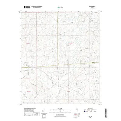
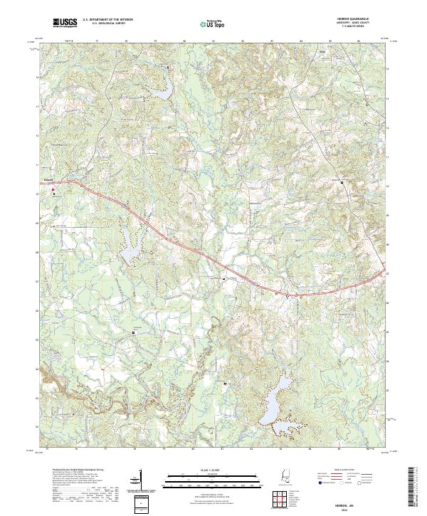 2024 Hebron2024 Print · USGSJones County's rural landscapes and the Leaf River basin are captured in this modern survey. Genealogists can trace family connections through numerous landmarks like Hebron Cem, Centerville Cem, and Soso.
 - 2024 Map of Soso, 2024 Print
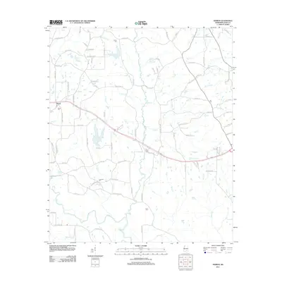
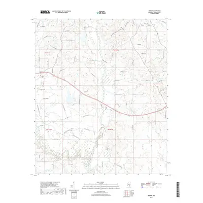
 2024 Soso2024 Print · USGSThe tri-county border area of Jones, Jasper, and Smith Counties is shown here in the mid-2020s, featuring rural communities and family landmarks. Genealogists can trace ancestral sites at Union Line Cem, Welch Cem, and Summerland Baptist Church.
End of results
Showing maps 1-17 of 17
Top cities near Soso
- Laurel historical maps
- Ellisville historical maps
- Bay Springs historical maps
- Taylorsville historical maps
- Sandersville historical maps
- Seminary historical maps
Frequently asked questions
- What are the different types of historical maps available for Soso?
- What is the oldest map of Soso?
- Where can I purchase historical maps of Soso for my home or office?
- Where can I download high-res historical maps of Soso?
- Are there historical topographic maps available for Soso?
- Is there historical aerial imagery available for Soso?
- Where are historical maps of Soso sourced from?