1970s Maps of Lafayette County, Mississippi
Explore 5 historic maps of Lafayette County from the 1970s. These maps offer a rare glimpse into what life looked like during the 1970s — showing old roads, neighborhoods, homes, and landmarks that have changed or disappeared over time.
Whether you're researching your family's past, planning a metal detecting trip, or studying how Lafayette County's landscape evolved across the 1970s, these high-resolution maps are a powerful tool for exploring the history of this region.
- Focus on a specific era: All maps on this page are from the 1970s, giving you a focused view of this time period.
- See what’s changed: Compare century-old streets, trails, and buildings to today's modern landscape using overlays and satellite layers.
- Research with precision: Use these maps for genealogy, historical research, land use analysis, or educational projects.
- View, download, or print: Maps are fully viewable online in high resolution, and can be downloaded or printed for your own records.
Start exploring Lafayette County's history through authentic maps from the 1970s. This is your window into the past.
Lafayette County, MS maps
(5)- 1971 Map of Laws Hill, 1973 Print
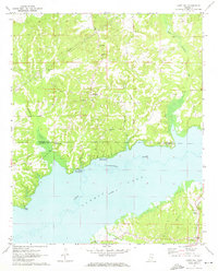 1971 Laws Hill1973 Print · USGSUpper Lafayette County and the Sardis Lake shoreline are captured here in the early seventies, as the river valley's transition to a major reservoir was well-established. Genealogists can trace family sites at Abbeville Cem, Mt Moriah Ch, and the historic Wyatt Cem near the water.2 unique versions available
 - 1971 Map of Tyro, 1973 Print
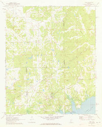 1971 Tyro1973 Print · USGSThe rural borderlands of Lafayette, Tate, and Marshall counties are captured here in the early 1970s before modern development altered these small communities. Researchers can trace family sites at Mt Patient Cem, Langstons Cem, and rural hubs like Harmontown and Tyro.2 unique versions available
 - 1972 Map of Paris, 1974 Print
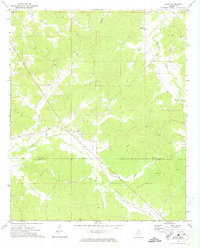 1972 Paris1974 Print · USGSLafayette County rural life is well-documented in the early seventies, centered on the crossroads at Paris. Researchers can trace old family roots through sites like Rock Hill Ch, Delay, and several smaller cemeteries near Otoucalofa Creek.
 - 1972 Map of Randolph, 1974 Print
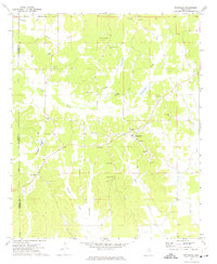 1972 Randolph1974 Print · USGSRandolph and the surrounding Pontotoc County countryside are shown here in the early 1970s as a network of small family farms and rural churches. Genealogists can trace family names through numerous local burial grounds including Salmon Cem and Harrison-Tutor Cem, or locate landmarks like Camp Yocona.
 - 1972 Map of Tula, 1975 Print
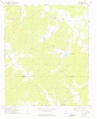 1972 Tula1975 Print · USGSLafayette and Calhoun Counties are captured here in the early seventies, showing a landscape defined by the Yocona River and rural crossroads. Local historians can trace the foundations of Tula and Sarepta alongside sites like Stutson Chapel and Old Dallas Cemetery.
End of results
Showing maps 1-5 of 5
Top cities of Lafayette County
Frequently asked questions
- What are the different types of historical maps available for Lafayette County?
- What is the oldest map of Lafayette County?
- Where can I purchase historical maps of Lafayette County for my home or office?
- Where can I download high-res historical maps of Lafayette County?
- Are there historical topographic maps available for Lafayette County?
- Is there historical aerial imagery available for Lafayette County?
- Where are historical maps of Lafayette County sourced from?