2000s (21st Century) Maps of Lafayette County, Mississippi
Explore 109 historic maps of Lafayette County from the 2000s (21st Century). These maps offer a rare glimpse into what life looked like during the 2000s — showing old roads, neighborhoods, homes, and landmarks that have changed or disappeared over time.
Whether you're researching your family's past, planning a metal detecting trip, or studying how Lafayette County's landscape evolved across the 2000s, these high-resolution maps are a powerful tool for exploring the history of this region.
- Focus on a specific era: All maps on this page are from the 2000s, giving you a focused view of this time period.
- See what’s changed: Compare century-old streets, trails, and buildings to today's modern landscape using overlays and satellite layers.
- Research with precision: Use these maps for genealogy, historical research, land use analysis, or educational projects.
- View, download, or print: Maps are fully viewable online in high resolution, and can be downloaded or printed for your own records.
Start exploring Lafayette County's history through authentic maps from the 2000s. This is your window into the past.
Lafayette County, MS maps
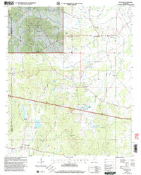
(109)- 2000 Map of Malone, 2003 Print
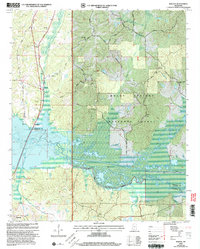 2000 Malone2003 Print · USGSThe Holly Springs National Forest and the headwaters of Little Sardis Lake define this Mississippi landscape at the turn of the millennium. Genealogists and local historians can trace rural roads to numerous historic sites like Asberry Cem, Greenfield Ch Cem, and the village of Abbeville.
 - 2000 Map of Hickory Flat, 2003 Print
 2000 Hickory Flat2003 Print · USGSBenton and Union County at the turn of the millennium show a landscape deeply integrated with the Holly Springs National Forest. Researchers can trace old family sites and rural centers like Hickory Flat, Cornersville, and the McKay Cem.
 - 2000 Map of Puskus Lake, 2003 Print
 2000 Puskus Lake2003 Print · USGSNorthern Mississippi's timberlands and rural communities are preserved here at the turn of the century. Genealogists can trace family roots at Bethlehem Ch Cem and Shiloh Cem or locate the small settlements of Burt and Keel.
 - 2000 Map of Etta, 2003 Print
 2000 Etta2003 Print · USGSNorth Mississippi's rural landscape at the turn of the millennium shows the intersection of the Holly Springs National Forest and local farming communities. Researchers can locate family landmarks like West Union Sch, Pisgah Cem, and the old settlement of Etta.
 - 2000 Map of Thaxton, 2003 Print
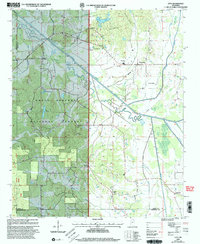
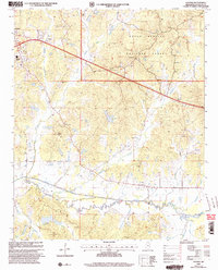
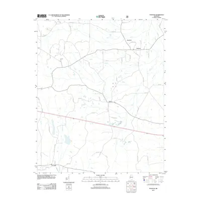
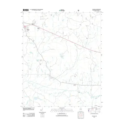
 2000 Thaxton2003 Print · USGSPontotoc and Lafayette counties appear at the turn of the twenty-first century, showing the intersection of managed forest and rural settlement. Researchers can locate family landmarks like Spring Hill Ch, trace the namesake Toccopola Creek, and find the community of Thaxton.
 - 2000 Map of Bethlehem, 2003 Print
 2000 Bethlehem2003 Print · USGSNorthern Mississippi forest lands and river bottoms come into focus at the turn of the millennium. Genealogists can trace family sites at Mt Ollie Ch, Bethlehem, and cemeteries like Macedonia Cem or Brent Cem.
 - 2000 Map of Yocona, 2003 Print
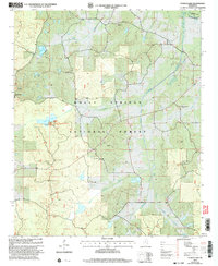
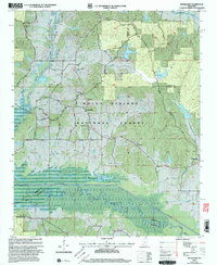
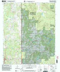
 2000 Yocona2003 Print · USGSLafayette County enters the new millennium as a mix of growing university outskirts and protected forest lands. Researchers can trace rural lineages through numerous landmarks like Kingdom Cem, Union Grove Ch, and the small settlement of Altus.
 - 2000 Map of Denmark, 2003 Print
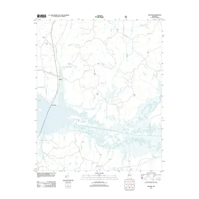
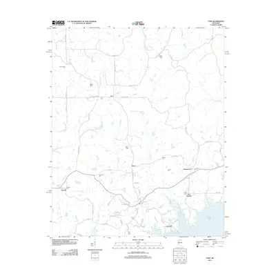
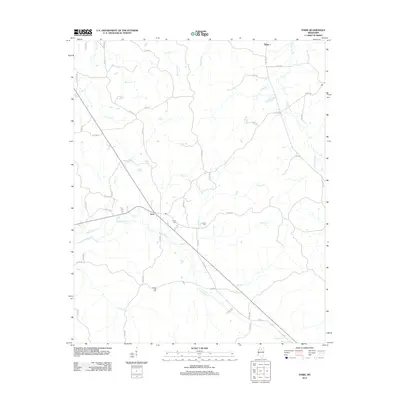
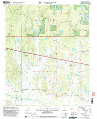 2000 Denmark2003 Print · USGSLafayette County was a landscape of deep woods and creek-side settlements at the turn of the millennium. Researchers can trace rural family roots through sites like Shiloh Ch, Cypress Cem, and the old lookout at Denmark Lookout Tower.
 - 2000 Map of Bagley Lake, 2003 Print
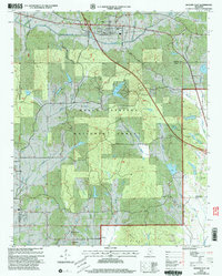
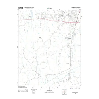
 2000 Bagley Lake2003 Print · USGSLafayette County was characterized by vast forest research areas and established rural communities at the turn of the millennium. Genealogists and historians can trace family locations near Owens Cem, the Oxford Work Center, and several country sanctuaries like St Peters Ch.
 - 2012 Map of Water Valley East, 2012 Print
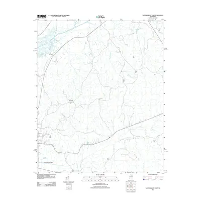 2012 Water Valley East2012 Print · USGSCovers Lafayette County, including Water Valley, Springdale, and other nearby areas
 - 2012 Map of Bagley Lake, 2012 Print
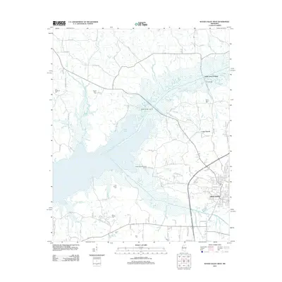
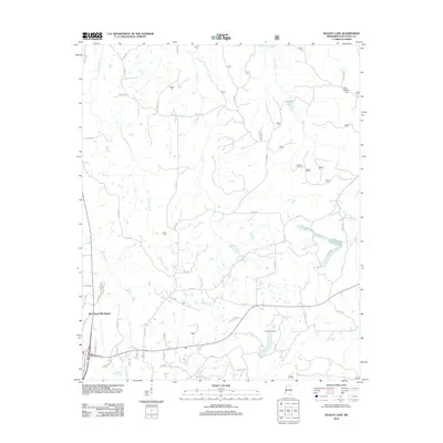 2012 Bagley Lake2012 Print · USGSCovers Lafayette County, including Oxford, Abbeville, and other nearby areas
 - 2012 Map of Puskus Lake, 2012 Print
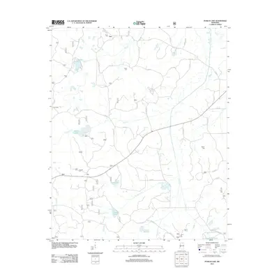 2012 Puskus Lake2012 Print · USGSCovers Lafayette County, including Keel, Burt, and other nearby areas
 - 2012 Map of Water Valley West, 2012 Print
 2012 Water Valley West2012 Print · USGSCovers Lafayette County, including Water Valley, Camp Ground, and other nearby areas
 - 2012 Map of Tula, 2012 Print
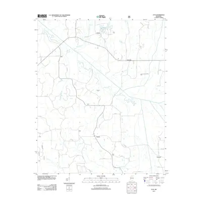
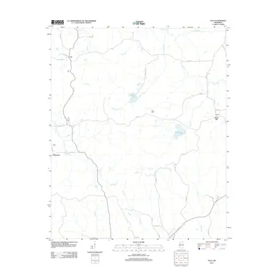 2012 Tula2012 Print · USGSCovers Lafayette County, including Spring Hill, Tula, and other nearby areas
 - 2012 Map of Randolph, 2012 Print
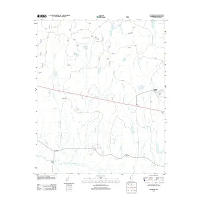
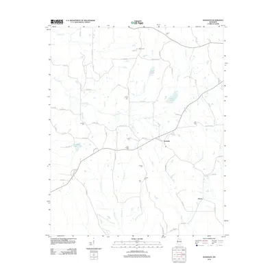 2012 Randolph2012 Print · USGSCovers Lafayette County, including Toccopola, Hebron, and other nearby areas
 - 2012 Map of Splinter, 2012 Print
 2012 Splinter2012 Print · USGSCovers Lafayette County, including Wallace, Burgess, and other nearby areas
 - 2012 Map of Etta, 2012 Print
 2012 Etta2012 Print · USGSCovers Lafayette County, including Flatwood, Enterprise, and other nearby areas
 - 2012 Map of Malone, 2012 Print
 2012 Malone2012 Print · USGSCovers Lafayette County, including Abbeville, Malone, and other nearby areas
 - 2012 Map of Denmark, 2012 Print
 2012 Denmark2012 Print · USGSCovers Lafayette County, including Dogtown, Denmark, and other nearby areas
 - 2012 Map of Thaxton, 2012 Print
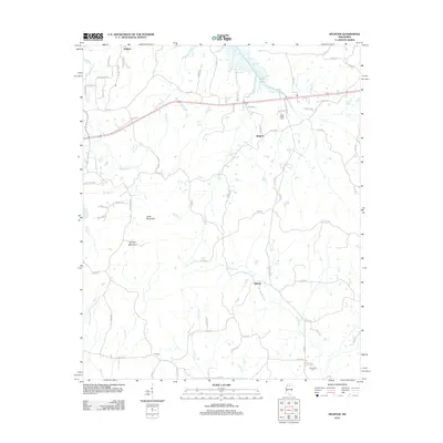
 2012 Thaxton2012 Print · USGSCovers Lafayette County, including Thaxton, Toccopola, and other nearby areas
 - 2012 Map of Oxford South, 2012 Print
 2012 Oxford South2012 Print · USGSCovers Lafayette County, including Oxford, Taylor, and other nearby areas
 - 2012 Map of Tyro, 2012 Print
 2012 Tyro2012 Print · USGSCovers Lafayette County, including Free Springs, Tyro, and other nearby areas
 - 2012 Map of Laws Hill, 2012 Print
 2012 Laws Hill2012 Print · USGSCovers Lafayette County, including Abbeville, Blackwater, and other nearby areas
 - 2012 Map of Yocona, 2012 Print
 2012 Yocona2012 Print · USGSCovers Lafayette County, including Oxford, Rollings Woods, and other nearby areas
 - 2012 Map of Paris, 2012 Print
 2012 Paris2012 Print · USGSCovers Lafayette County, including Paris, Delay, and other nearby areas
Showing maps 1-25 of 109
Top cities of Lafayette County
Frequently asked questions
- What are the different types of historical maps available for Lafayette County?
- What is the oldest map of Lafayette County?
- Where can I purchase historical maps of Lafayette County for my home or office?
- Where can I download high-res historical maps of Lafayette County?
- Are there historical topographic maps available for Lafayette County?
- Is there historical aerial imagery available for Lafayette County?
- Where are historical maps of Lafayette County sourced from?