2010s Maps of Lafayette County, Mississippi
Explore 60 historic maps of Lafayette County from the 2010s. These maps offer a rare glimpse into what life looked like during the 2010s — showing old roads, neighborhoods, homes, and landmarks that have changed or disappeared over time.
Whether you're researching your family's past, planning a metal detecting trip, or studying how Lafayette County's landscape evolved across the 2010s, these high-resolution maps are a powerful tool for exploring the history of this region.
- Focus on a specific era: All maps on this page are from the 2010s, giving you a focused view of this time period.
- See what’s changed: Compare century-old streets, trails, and buildings to today's modern landscape using overlays and satellite layers.
- Research with precision: Use these maps for genealogy, historical research, land use analysis, or educational projects.
- View, download, or print: Maps are fully viewable online in high resolution, and can be downloaded or printed for your own records.
Start exploring Lafayette County's history through authentic maps from the 2010s. This is your window into the past.
Lafayette County, MS maps
(60)- 2012 Map of Water Valley East, 2012 Print
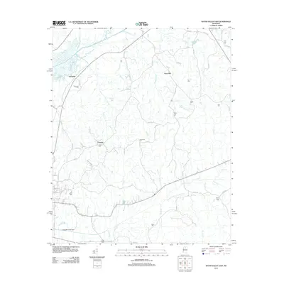 2012 Water Valley East2012 Print · USGSYalobusha County settlements and rural cemeteries are mapped in detail during the early 2010s. Genealogists can trace family connections through sites like Palestine Cemetery, Oak Ridge Cemetery, and the community at Union Hall.
 - 2012 Map of Bagley Lake, 2012 Print
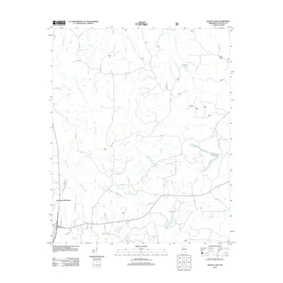 2012 Bagley Lake2012 Print · USGSThe hill country of Lafayette County in the early 2010s reveals a landscape of expanding residential tracts and deep-rooted rural landmarks. Genealogists can trace family connections at Owens Cem, Martin Cem, or Midway Cem while exploring the waters of Bagley Lake.
 - 2012 Map of Puskus Lake, 2012 Print
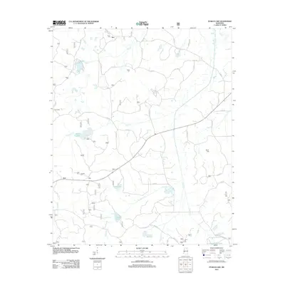 2012 Puskus Lake2012 Print · USGSLafayette County was a landscape of quiet rural communities and interconnected waterways in the years following the millennium. Genealogists and historians can locate old burial grounds like Jefferson Cem and Shiloh Cem or trace the early paths near Puskus Lake.
 - 2012 Map of Water Valley West, 2012 Print
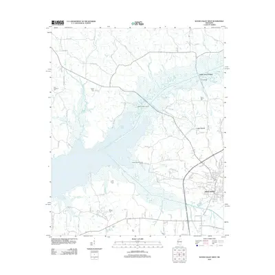 2012 Water Valley West2012 Print · USGSWater Valley and the Yocona River valley are documented here in 2012, highlighting the impact of Enid Lake on the local geography. Researchers can find numerous historic burial sites such as Kind Providence Cem and Moore Cem or trace Prophet Bridge Crossing.
 - 2012 Map of Tula, 2012 Print
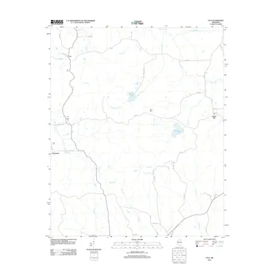 2012 Tula2012 Print · USGSLafayette County and the rural landscape near the Yocona River are shown here in the early twenty-first century. Genealogists can trace family heritage at Old Dallas Cem or New El Bethel Cem and locate historic community centers like Tula and Potlockney.
 - 2012 Map of Randolph, 2012 Print
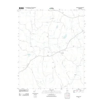 2012 Randolph2012 Print · USGSThe rural communities of Pontotoc County come into focus in the early 2010s, centered on the settlement of Randolph. Genealogists and local historians can trace family burial sites at Salmon Cem, Carey Springs Cem, and Harrison-Tutor Cem along the Yocona River.
 - 2012 Map of Splinter, 2012 Print
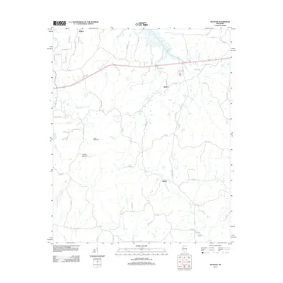 2012 Splinter2012 Print · USGSPanola County's rural interior comes into focus during the early 2010s, showing a landscape shaped by the headwaters of the Tallahatchie drainage. Researchers can locate long-standing community centers like Splinter and Orwood or find family history at Clear Creek Cem.
 - 2012 Map of Etta, 2012 Print
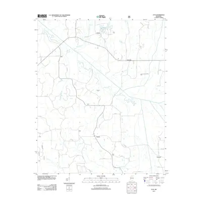 2012 Etta2012 Print · USGSUnion County's rural communities and river bottomlands are captured here in the early 2010s. Researchers can trace local heritage through numerous burial sites like Salem Cem and the small settlements of Etta, Pinedale, and Enterprise.
 - 2012 Map of Malone, 2012 Print
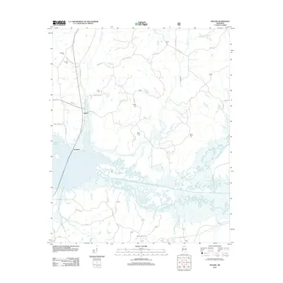 2012 Malone2012 Print · USGSLafayette County's rural northern landscape is captured here in the early twenty-first century as the waters of Sardis Lake meet the creek bottoms. Genealogists can locate several family cemeteries, including Asberry Cem and Mount Vernon Cem, or trace the old paths of Malone and Spraggins.
 - 2012 Map of Denmark, 2012 Print
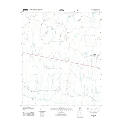 2012 Denmark2012 Print · USGSLafayette County in the early twenty-first century reveals a landscape of rural crossroads and river bottomlands. Genealogists and local researchers can trace family landmarks like Lafayette Springs Cem, Spring Hill Cem, and the historic Denmark settlement.
 - 2012 Map of Thaxton, 2012 Print
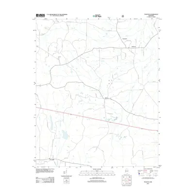 2012 Thaxton2012 Print · USGSIn the early twenty-first century, the area around Thaxton remained a network of rural settlements and family-named roads. Genealogists can locate Laodicea Cem or trace the drainage of Buttermilk Br and Toccopola Cr through the small communities of Hurricane and Toccopola.
 - 2012 Map of Oxford South, 2012 Print
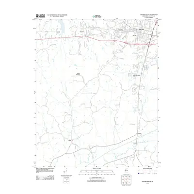 2012 Oxford South2012 Print · USGSLafayette County enters the twenty-first century with the expansion of Oxford and the University of Mississippi campus. Researchers can trace family sites at the Confederate Cem or explore the terrain around Thacker Mountain and Taylor.
 - 2012 Map of Tyro, 2012 Print
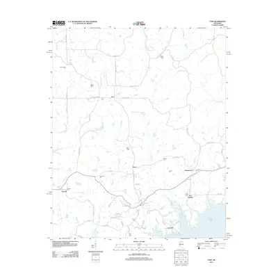 2012 Tyro2012 Print · USGSThe northern shores of Sardis Lake and the rural crossroads of Lafayette and Tate Counties are captured here in the early twenty-first century. Genealogists can trace family footprints through numerous local burial sites, including Mount Patient Cem, Waldrip Cem, and the community of Harmontown.
 - 2012 Map of Laws Hill, 2012 Print
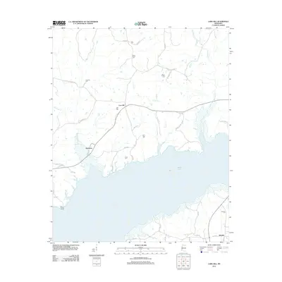 2012 Laws Hill2012 Print · USGSNorthern Mississippi and the northern reaches of Sardis Lake are captured here in the early twenty-first century. Researchers can trace rural lineages through numerous burial sites like Mount Moriah Cem, Alexander Cem, and the community of Abbeville.
 - 2012 Map of Yocona, 2012 Print
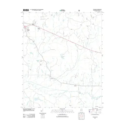 2012 Yocona2012 Print · USGSLafayette County south of Oxford exhibits a mix of emerging residential tracts and old-country settlements during the early 2010s. Genealogists can trace family footprints through numerous rural sites like Kingdom Cem, Mount Zion Cem, and the settlement of Porterton.
 - 2012 Map of Paris, 2012 Print
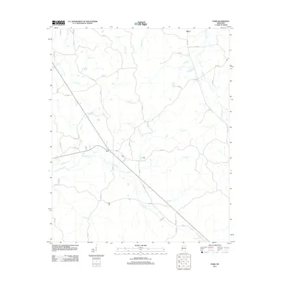 2012 Paris2012 Print · USGSLafayette County rural life in the early 2010s is centered around the small crossroads of Paris and its surrounding creek valleys. Genealogists and local historians can trace family locations near Paris Cem, Crocker Cem, and the community of Delay.
 - 2012 Map of Bethlehem, 2012 Print
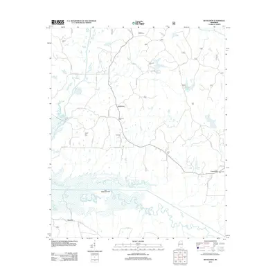 2012 Bethlehem2012 Print · USGSMarshall County in the early twenty-first century remains a rural landscape defined by the wetlands of the Little Tallahatchie River. Researchers can locate numerous local burial grounds including Salem Cem, Lebanon Cem, and the Winborn Lookout Tower.
 - 2012 Map of Hickory Flat, 2012 Print
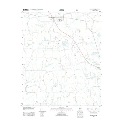 2012 Hickory Flat2012 Print · USGSHickory Flat and the surrounding north Mississippi countryside are captured in detail during the early twenty-first century. Genealogists and researchers can locate family burial grounds like Candy Hill Cemetery and trace the paths of Byers Creek and McDaniel Branch.
 - 2012 Map of Oxford North, 2012 Print
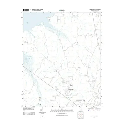 2012 Oxford North2012 Print · USGSLafayette County enters the new millennium as shown in this survey of the area north of Oxford, where new housing developments meet old country cemeteries. Genealogists can locate Buford Cem and Saint Peter Cem or trace the lands near College Hill.
 - 2012 Map of Coles Point, 2012 Print
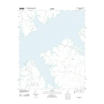 2012 Coles Point2012 Print · USGSLafayette County's waterfront character is on full display in the early 2010s as the suburbs and retreats meet the eastern waters of the reservoir. Researchers can locate family sites and landmarks like Emery Cem, Elijah Cem, and the community at Coles Point.
 - 2015 Map of Puskus Lake, 2015 Print
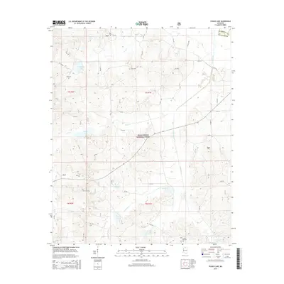 2015 Puskus Lake2015 Print · USGSLafayette and Marshall counties were dominated by the protected timberlands and drainage basins of the national forest in the early twenty-first century. Genealogists can trace family footprints at Jefferson Cem, Liberty Cem, and the small settlement of Keel.
 - 2015 Map of Laws Hill, 2015 Print
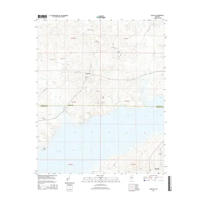 2015 Laws Hill2015 Print · USGSUpper Lafayette County and southern Marshall County are captured here in the mid-2010s as the northern reaches of Sardis Lake meet the hill country. Researchers can locate numerous local landmarks like Abbeville, Laws Hill, and several rural burial grounds such as Mount Moriah Cem.
 - 2015 Map of Paris, 2015 Print
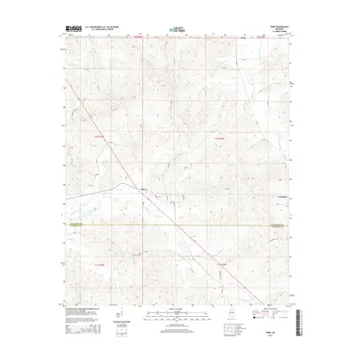 2015 Paris2015 Print · USGSLafayette and Calhoun counties appear here in the mid-2010s, showing a traditional Mississippi landscape of stream-fed valleys and rural crossroads. Researchers can locate family landmarks like Crocker Cem and Drivers Flat Cem near the settlements of Paris and Delay.
 - 2015 Map of Randolph, 2015 Print
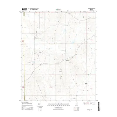 2015 Randolph2015 Print · USGSThe rural communities of Toccopola and Randolph are shown here as they appeared in the early 2010s, defined by the winding Yocona River. Genealogists can locate several local burial sites including Salmon Cem, Johnson Cem, and Bramlett Cem.
 - 2015 Map of Bethlehem, 2015 Print
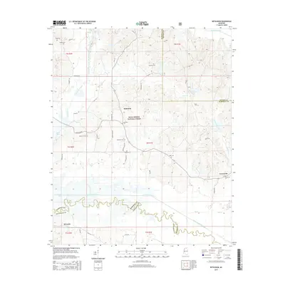 2015 Bethlehem2015 Print · USGSNorth-central Mississippi woodland and river bottoms are preserved here during the mid-2010s, centered on the Bethlehem community. Genealogists and local historians can locate several family and community landmarks including Bethlehem Cem, Macedonia Cem, and the settlement of Cornersville.
Showing maps 1-25 of 60
Top cities of Lafayette County
Frequently asked questions
- What are the different types of historical maps available for Lafayette County?
- What is the oldest map of Lafayette County?
- Where can I purchase historical maps of Lafayette County for my home or office?
- Where can I download high-res historical maps of Lafayette County?
- Are there historical topographic maps available for Lafayette County?
- Is there historical aerial imagery available for Lafayette County?
- Where are historical maps of Lafayette County sourced from?