2020s Maps of Lauderdale County, Mississippi
Explore 40 historic maps of Lauderdale County from the 2020s. These maps offer a rare glimpse into what life looked like during the 2020s — showing old roads, neighborhoods, homes, and landmarks that have changed or disappeared over time.
Whether you're researching your family's past, planning a metal detecting trip, or studying how Lauderdale County's landscape evolved across the 2020s, these high-resolution maps are a powerful tool for exploring the history of this region.
- Focus on a specific era: All maps on this page are from the 2020s, giving you a focused view of this time period.
- See what’s changed: Compare century-old streets, trails, and buildings to today's modern landscape using overlays and satellite layers.
- Research with precision: Use these maps for genealogy, historical research, land use analysis, or educational projects.
- View, download, or print: Maps are fully viewable online in high resolution, and can be downloaded or printed for your own records.
Start exploring Lauderdale County's history through authentic maps from the 2020s. This is your window into the past.
Lauderdale County, MS maps
(40)- 2020 Map of Yantley, 2020 Print
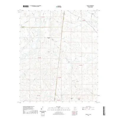 2020 Yantley2020 Print · USGSThe Alabama-Mississippi borderlands come into focus in this contemporary survey of Choctaw County and Lauderdale County. Researchers can trace rural lineages through the locations of Mount Zion Cem, McLendon Cem, and the small settlement at Cyril.
 - 2020 Map of Post, 2020 Print
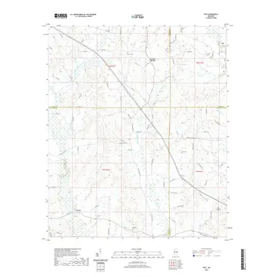 2020 Post2020 Print · USGSThe crossroads of East Central Mississippi are documented here during the early twenty-first century. Genealogists can locate family landmarks like Trussel Cem and Friendship Cem near rural settlements like Perdue and Herbert Springs.
 - 2020 Map of Vimville, 2020 Print
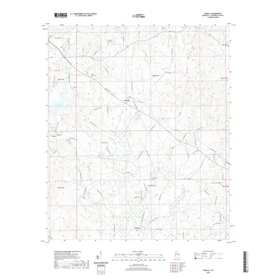 2020 Vimville2020 Print · USGSLauderdale County is shown here in the contemporary era as a network of rural communities and creek-fed valleys southeast of Meridian. Genealogists and local researchers can locate numerous historical burial sites like Shamburger Cem and follow the routes connecting Vimville, Enzor, and Increase.
 - 2020 Map of Center Hill, 2020 Print
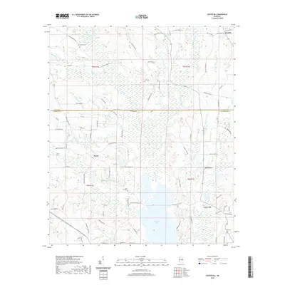 2020 Center Hill2020 Print · USGSThe rural borderlands of Lauderdale and Kemper Counties are documented here as they appeared in 2020. Local historians and genealogists can locate family burial sites like Chisholm Cem and Pine Forest Cem or trace the drainage of Okatibbee Creek into Okatibbee Lake.
 - 2020 Map of Tamola, 2020 Print
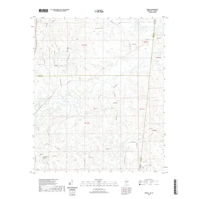 2020 Tamola2020 Print · USGSThe borderlands between Mississippi and Alabama are documented here during a period of modern rural continuity. Researchers can locate family roots and historical landmarks like the Lauderdale Springs Confederate Union Cem, Tamola, and Anna York Cem.
 - 2020 Map of Daleville, 2020 Print
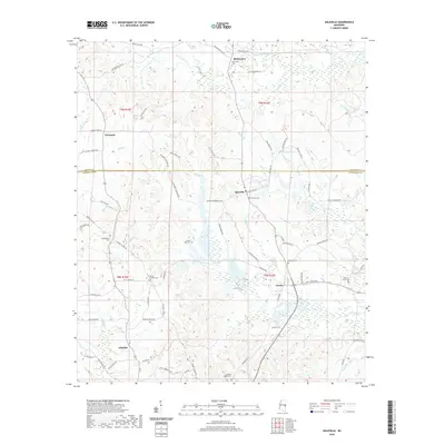 2020 Daleville2020 Print · USGSEast Mississippi settlements like Daleville and Lizelia are captured in the 2020s, showing the enduring rural character of the Lauderdale-Kemper county line. Genealogists and local historians can trace family sites at Samuel Dale Cem, Hickory Grove Cem, and the vanished crossroads of Prismatic.
 - 2020 Map of Rose Hill, 2020 Print
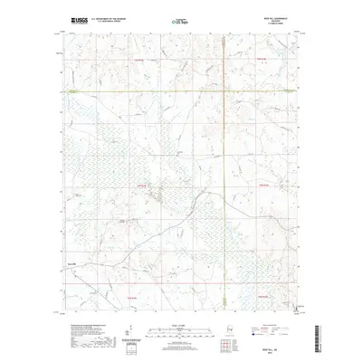 2020 Rose Hill2020 Print · USGSJasper and Newton counties meet at the crossroads of the rural South in this 2020 survey of the Rose Hill area. Researchers can locate family landmarks and community history at Fellowship Cem, Rose Hill, and Pleasant Grove Cem.
 - 2020 Map of Meehan, 2020 Print
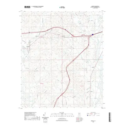 2020 Meehan2020 Print · USGSLauderdale County is documented in the modern era as a landscape of rural communities and winding waterways. Genealogists can locate family landmarks like Osborne Cem and Sageville Cem or trace the paths of the Chunky River and Tunnel Hill.
 - 2020 Map of Kewanee, 2020 Print
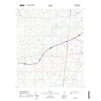 2020 Kewanee2020 Print · USGSThe interstate corridor between Mississippi and Alabama crosses a landscape of rural settlements and winding creeks in this recent survey. Local historians can trace family roots through several landmarks including Kelly Cem, Smith, and the town of Cuba.
 - 2020 Map of Duffee, 2020 Print
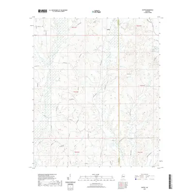 2020 Duffee2020 Print · USGSNewton and Lauderdale counties are documented here in the early twenty-first century, showcasing a rural landscape defined by the Tallashua Creek watershed. Researchers can trace family history at Mount Carmon Cem or explore the area around Duffee and Daniel Lake.
 - 2020 Map of Meridian North, 2020 Print
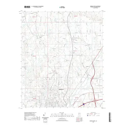 2020 Meridian North2020 Print · USGSLauderdale County at the start of the 2020s shows a landscape where historic towns and modern suburban growth meet. Genealogists can locate several family and community burial sites, including Stenis Cem, Gum Log Cem, and the Barker Cem.
 - 2020 Map of Chunky, 2020 Print
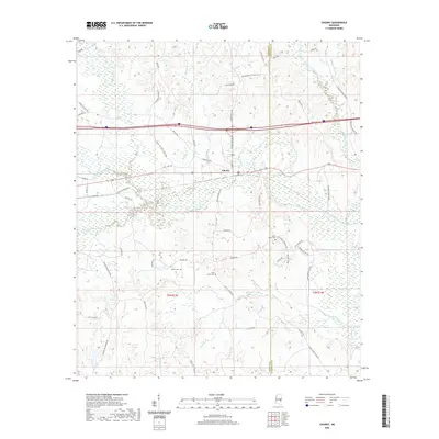 2020 Chunky2020 Print · USGSNewton and Lauderdale counties appear in this recent survey at the meeting of the Chunky River and Okatibbee Creek. Local researchers can trace family landmarks and rural routes, including Saint Marks Cem, McGee Cem, and the path of Chunky Duffee Rd.
 - 2020 Map of Whynot, 2020 Print
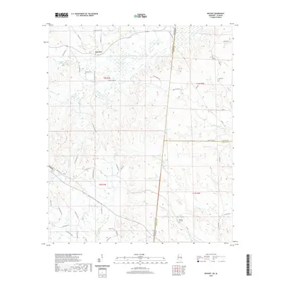 2020 Whynot2020 Print · USGSThe Mississippi-Alabama borderlands come into focus in this contemporary survey of Lauderdale and Sumter Counties. Genealogists can trace family names and local landmarks through sites like McMurry Cem, Alamucha, and the community of Whynot.
 - 2020 Map of Lauderdale, 2020 Print
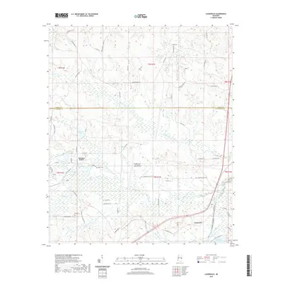 2020 Lauderdale2020 Print · USGSThe borderlands of Kemper and Lauderdale counties are documented here in the early twenty-first century, centered on the Meridian Naval Air Station. Genealogists and local historians can trace rural family roots at Gordon Cem and Barrett Cem or locate the community of Lauderdale.
 - 2020 Map of Snell, 2020 Print
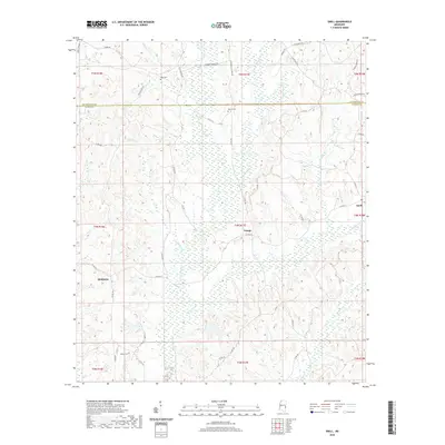 2020 Snell2020 Print · USGSThe rural borderlands of Clarke and Lauderdale Counties come into focus in this recent survey. Local historians can trace family roots at Hays Cem or follow the winding paths of Buckatunna Cr through the small communities of Energy and Snell.
 - 2020 Map of Stonewall, 2020 Print
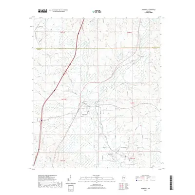 2020 Stonewall2020 Print · USGSClarke County settlements and river confluences are detailed here in the early twenty-first century. Genealogists can locate family landmarks like Enterprise Cem, Zion Chapel Cem, and Dunns Falls along the Chickasawhay River.
 - 2020 Map of Sable, 2020 Print
 2020 Sable2020 Print · USGSThe rural borderlands of Lauderdale and Clarke counties come into focus in this recent survey of east-central Mississippi. Researchers can locate several community burial grounds such as Union Cem and Devoe Cem near the small settlements of Sable and Roy.
 - 2020 Map of Toomsuba, 2020 Print
 2020 Toomsuba2020 Print · USGSLauderdale County just east of Meridian shows a mix of rural crossroads and newer lakeside developments. Genealogists and local historians can trace family ties at Good Hope Cem, Lockhart Cem, or the small settlement of Russell.
 - 2020 Map of Meridian South, 2020 Print
 2020 Meridian South2020 Print · USGSMeridian's southern corridor in the early twenty-first century is captured here as the city meets the foothills of Mt Barton. Genealogists and local historians can trace burial grounds like McLemore Cem and Rose Hill Cem or locate the Lauderdale County Courthouse.
 - 2020 Map of Collinsville, 2020 Print
 2020 Collinsville2020 Print · USGSLauderdale County's rural landscape is captured here in the modern era, centered on the community of Collinsville. Researchers can trace local lineage through numerous documented burial grounds including Suqualena Cem and Pine Springs Cem.
 - 2024 Map of Toomsuba, 2024 Print
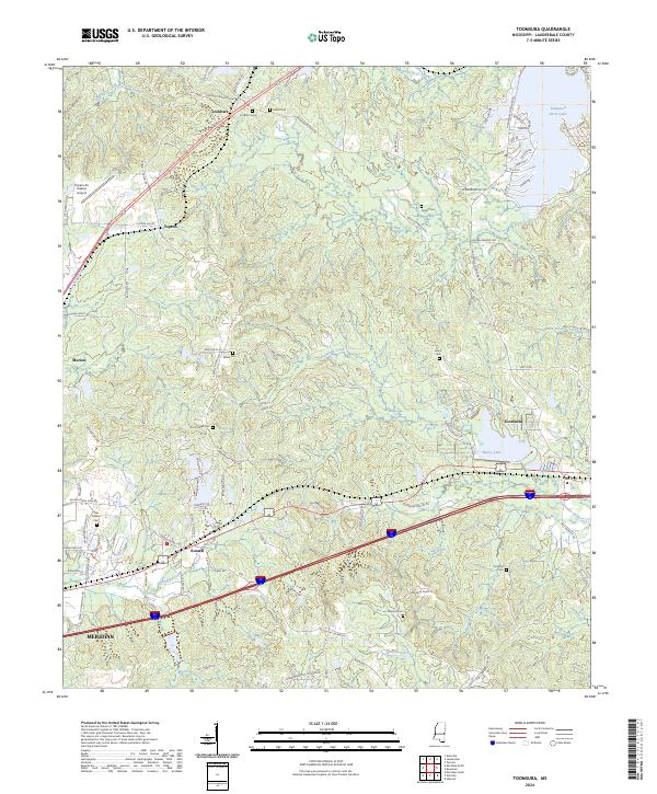 2024 Toomsuba2024 Print · USGSLauderdale County's rural landscape east of Meridian is documented here in the early twenty-first century. Genealogists and historians can trace family roots through numerous burial sites like Old Marion Cem and Pigford Cem or locate community hubs in Toomsuba and Russell.
 - 2024 Map of Stonewall, 2024 Print
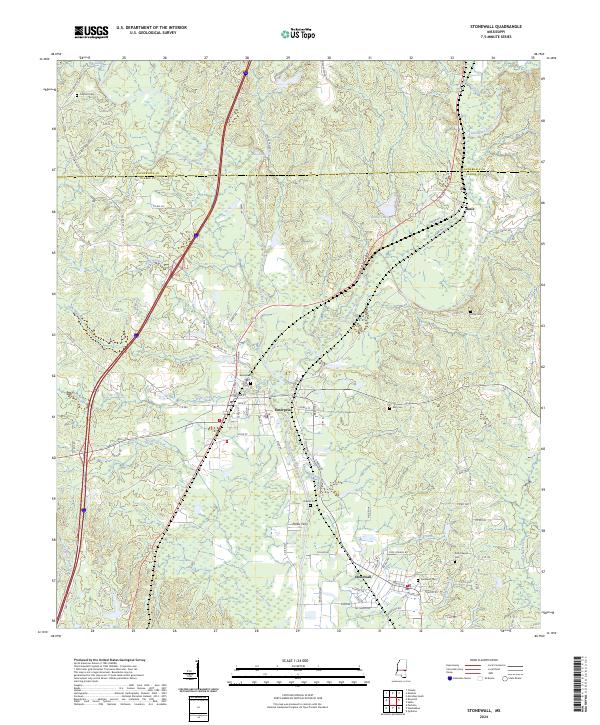 2024 Stonewall2024 Print · USGSEnterprise and Stonewall anchor this modern survey of the Chickasawhay River valley as it flows through Clarke County. Researchers can trace local lineage and land use through Earles Ferry, Dunns Falls, and the Zion Chapel Cem.
 - 2024 Map of Snell, 2024 Print
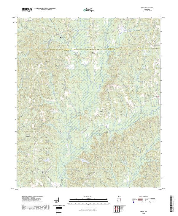 2024 Snell2024 Print · USGSThe eastern Mississippi timberlands near the Alabama border are documented in this contemporary survey. Family researchers can trace ancestral ties at McRae Cem and Hays Cem or locate the rural communities of Snell and Energy.
 - 2024 Map of Kewanee, 2024 Print
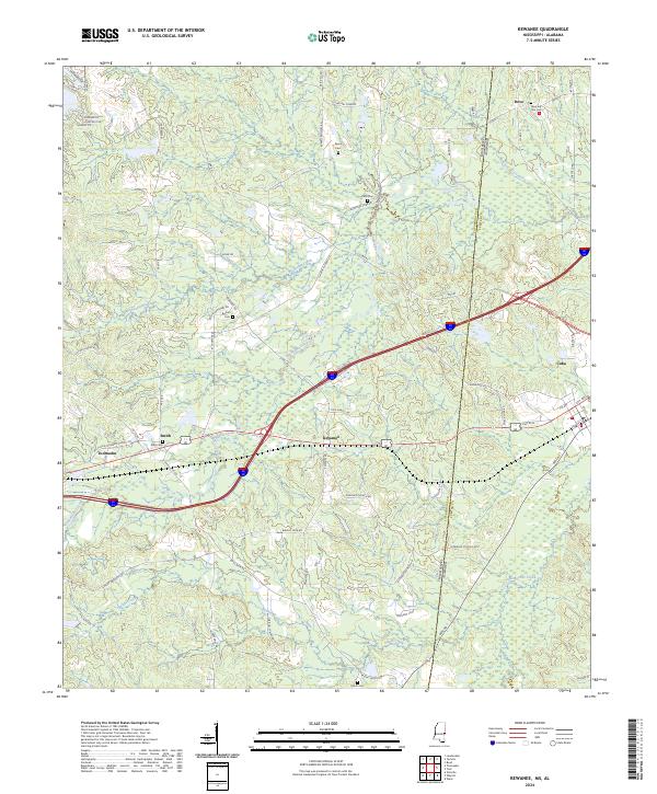 2024 Kewanee2024 Print · USGSThe Mississippi and Alabama borderlands are captured here in the mid-2020s, showing the rural communities of Lauderdale and Sumter counties. Genealogists can locate several local burial grounds including Morning Star Cem, Pack Cem, and Bethel Cem.
 - 2024 Map of Meehan, 2024 Print
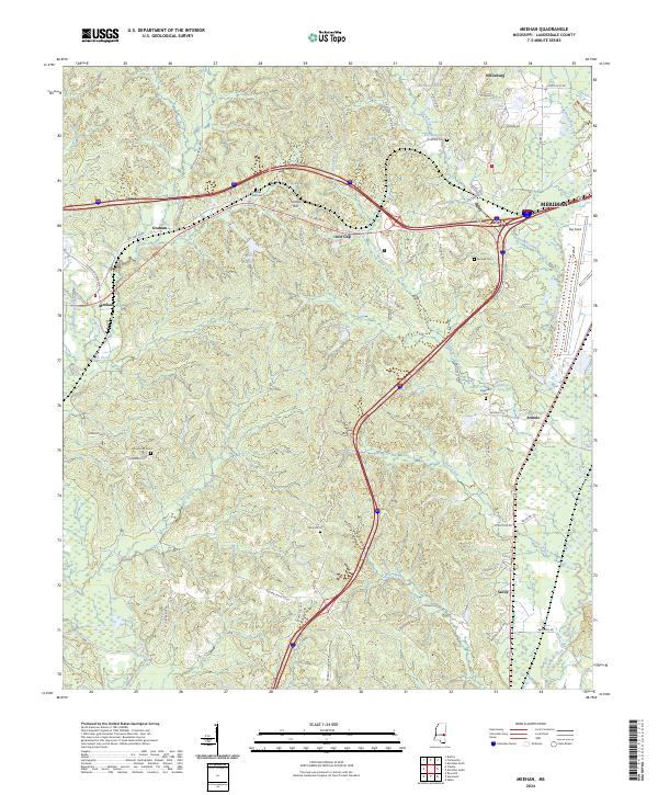 2024 Meehan2024 Print · USGSLauderdale County's rural landscapes and railroad settlements are captured here in the contemporary era. Researchers can trace family history through numerous burial sites like Tunnel Hill Cem or locate the Meridian National Fish Hatchery.
Showing maps 1-25 of 40
Top cities of Lauderdale County
Frequently asked questions
- What are the different types of historical maps available for Lauderdale County?
- What is the oldest map of Lauderdale County?
- Where can I purchase historical maps of Lauderdale County for my home or office?
- Where can I download high-res historical maps of Lauderdale County?
- Are there historical topographic maps available for Lauderdale County?
- Is there historical aerial imagery available for Lauderdale County?
- Where are historical maps of Lauderdale County sourced from?