Old Maps of Lauderdale County, Mississippi for Hiking & Exploration
Hike through history with 130 historic maps of Lauderdale County. Explore old trails, ghost towns, and forgotten backroads — perfect for outdoor adventurers and local explorers.
- Rediscover forgotten places: Map out old mining camps, roads, and footpaths that no longer exist on modern maps.
- Layer with modern tools: Combine with LiDAR or satellite views to plan hikes through historical terrain.
- Made for exploration: Popular among hikers, overlanders, and local history lovers.
Use these maps to find adventure and explore the hidden past of Lauderdale County.
Lauderdale County, MS maps
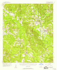
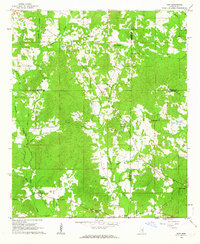
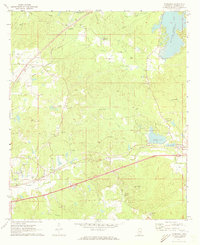
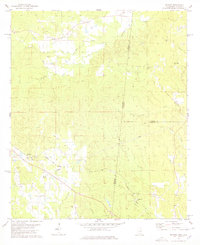
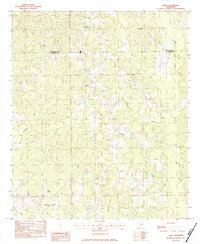
(130)- 1921 Map of Meridian
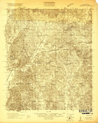 1921 Meridian1921 Print · USGSMeridian and Lauderdale County thrive as a major railroad hub in the early twenties. Researchers can trace family sites and community landmarks like Magnolia White Place, Knox Mill, and Cokers Chapel.4 unique versions available
 - 1923 Map of Meridian
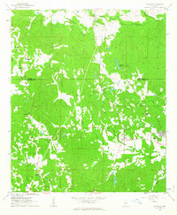
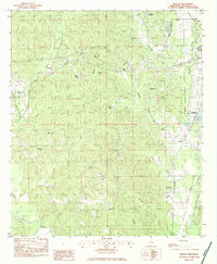
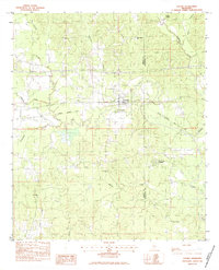
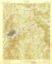 1923 Meridian1923 Print · USGSMeridian emerged as a critical Mississippi rail junction in the early 1920s, anchoring a network of lines that fueled the local economy. Researchers can trace dozens of country landmarks, from Old Marion Cemetery to rural hubs like Garretts Store and Vimville.2 unique versions available
 - 1953 Map of Meridian, 1966 Print
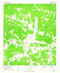
 1953 Meridian1966 Print · USGSEast Central Mississippi and the Alabama borderlands are captured here during a period of steady growth and infrastructure expansion. Genealogists and historians can trace rail-town development along the Gulf Mobile & Ohio Railroad and find early settlements like Scooba, Pelahatchie, and De Kalb.2 unique versions available
 - 1957 Map of Meridian
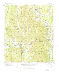
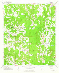
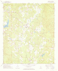
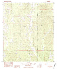
 1957 Meridian1957 Print · USGSEast Central Mississippi and parts of Western Alabama come alive in the mid-1950s, centered on the transit hub of Meridian. Researchers can trace old rail lines like the Illinois Central and find historic sites such as the Choctaw Indian Reservation and Roosevelt State Park.
 - 1957 Map of Chunky, 1958 Print
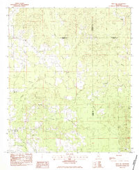
 1957 Chunky1958 Print · USGSNewton and Lauderdale counties come alive in the mid-1950s, showing a landscape defined by the intersection of three major railroads. Researchers can locate numerous rural landmarks such as Pine Forest Academy, Mt Moriah Ch, and the settlement of Meehan.2 unique versions available
 - 1957 Map of Quitman, 1958 Print
 1957 Quitman1958 Print · USGSClarke County in the late fifties is captured here through its network of riverfront settlements and rural parishes. Genealogists can trace family landmarks like Archusa Springs, Sullers Cem, and Coopers Chapel across the hill country.2 unique versions available
 - 1957 Map of Enterprise, 1958 Print
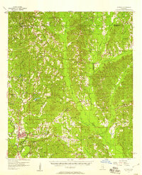
 1957 Enterprise1958 Print · USGSEast-central Mississippi is shown here in the late fifties, defined by the rail corridors of the Southern and GM&O lines. Researchers can trace family history through dozens of rural sites like Orange Twistwood Sch, Basic City, and Zion Hill Ch.
 - 1962 Map of Daleville, 1963 Print
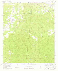
 1962 Daleville1963 Print · USGSLauderdale and Kemper counties are captured here in the early sixties, a landscape of small farming communities and historic rural parishes. Researchers can locate family landmarks like Samuel Dale Cem, Andrews Chapel, and the settlement of Lizelia.4 unique versions available
 - 1962 Map of Lauderdale, 1963 Print
 1962 Lauderdale1963 Print · USGSEastern Mississippi's rural landscape is captured here in the early 1960s, showing the intersection of military aviation and traditional railroad life. Local historians can trace family roots through Soules Chapel and Gordon Cem, or explore the sprawling Mc Cain Field Naval Auxiliary Air Station.5 unique versions available
 - 1962 Map of Center Hill, 1963 Print
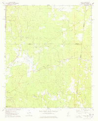
 1962 Center Hill1963 Print · USGSLauderdale and Kemper Counties are shown here in the early sixties, a landscape of creek-bottom farms and scattered rural communities. Genealogists can locate family landmarks like Chisholm Cem, Little Zion Ch, and the settlements of Klondike or Shuektown.3 unique versions available
 - 1962 Map of Post, 1964 Print
 1962 Post1964 Print · USGSFour Mississippi counties meet in this early 1960s survey, showing a rural landscape tied together by local churches and the railroad. Genealogists and researchers can trace family landmarks like Trussel Cem, Antioch Ch, and the rail stop at Perdue.2 unique versions available
 - 1965 Map of Meridian
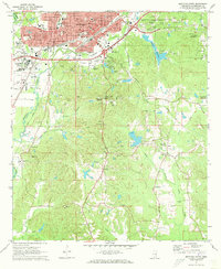
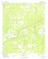
 1965 Meridian1965 Print · USGSEast Mississippi and West Alabama are mapped here in the mid-sixties as the region's modern highway and reservoir systems began to take shape. Researchers can trace rural lineages through local landmarks like Prince Chapel and Tuscahoma Landing, or follow the historic Gulf Mobile & Ohio rail lines.
 - 1971 Map of Vimville, 1973 Print
 1971 Vimville1973 Print · USGSThe rolling terrain of Lauderdale County comes alive in the early seventies, showing a landscape of rural schools and creek-side settlements. Genealogists can trace family landmarks like Causeyville Ch & Cem, Shamburger Cem, and the community of Vimville.
 - 1971 Map of Meridian South, 1973 Print
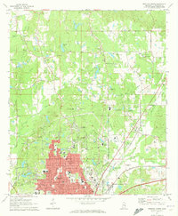
 1971 Meridian South1973 Print · USGSThe growing city of Meridian is captured here in the early seventies as new residential developments spread toward the hills. Researchers can locate numerous family-named landmarks and rural centers like Zero, Savannah Grove, and the historic Rose Hill Cem.2 unique versions available
 - 1971 Map of Meridian North, 1973 Print
 1971 Meridian North1973 Print · USGSThe northern reaches of Lauderdale County are shown during a period of growth in the early seventies as residential tracts expanded toward Marion. Researchers can trace old family sites and institutions through labels for the Confederate Cem, St Joseph Sch, and the Southern railroad line.2 unique versions available
 - 1971 Map of Toomsuba, 1973 Print
 1971 Toomsuba1973 Print · USGSLauderdale County in the early seventies shows a landscape shaped by rail lines and rural community centers. Researchers can trace the development of Toomsuba and Lockhart through landmarks like the Naval Auxiliary Air Station, Akin Airport, and numerous country churches.2 unique versions available
 - 1974 Map of Yantley, 1978 Print
 1974 Yantley1978 Print · USGSChoctaw County at the Alabama-Mississippi border in the mid-1970s reveals a quiet landscape of rural settlements and winding creek bottoms. Researchers can trace family roots at McLendon Cem or explore old community hubs like Cyril and Yantley.
 - 1974 Map of Tamola, 1978 Print
 1974 Tamola1978 Print · USGSIn the 1970s, this Mississippi-Alabama borderland centered on the ILLINOIS CENTRAL GULF railroad and the rural hub of Tamola. Researchers can trace family history at Lauderdale Springs Cem, Mt Hebron Ch, and the Tamola Lookout Tower.2 unique versions available
 - 1974 Map of Kewanee, 1978 Print
 1974 Kewanee1978 Print · USGSThe Mississippi-Alabama borderlands in the 1970s show a landscape of rural communities and evolving infrastructure between Kewanee and Cuba. Genealogists and historians can trace family-named sites like Bethel Cemetery or the local Sweet Pilgrim Ch and Morning Star Ch.
 - 1978 Map of Whynot
 1978 Whynot1978 Print · USGSThis Mississippi-Alabama borderland in the late seventies is a detailed record of rural Lauderdale and Sumter counties. Genealogists can trace family connections through numerous local landmarks like Reids Chapel, McMury Cem, and the settlement of Whynot.
 - 1982 Map of Meehan, 1983 Print
 1982 Meehan1983 Print · USGSLauderdale County at the dawn of the 1980s shows a landscape of rural communities tied together by the Illinois Central Gulf rail line. Genealogists and local historians can trace family locations through Tunnel Hill Cem, Savoy, and the many country churches like Golden Grove Ch.
 - 1982 Map of Duffee, 1983 Print
 1982 Duffee1983 Print · USGSThe Newton and Lauderdale county line in the early eighties reveals a landscape of dispersed settlements and quiet rural industry. Researchers can trace family history through numerous landmarks like Mt Carmon Cem, the community of Center Ridge, and the path of an Abandoned Railroad.
 - 1983 Map of Rose Hill
 1983 Rose Hill1983 Print · USGSIn the early eighties, this eastern Mississippi boundary region maintained its character as a landscape of rural congregations and winding waterways. Trace the community ties between Rose Hill and Twistwood through landmarks like Rose Hill Cem and East Galilee Ch.
 - 1983 Map of Sable
 1983 Sable1983 Print · USGSCrossing the border between Lauderdale and Clarke counties in the early 1980s, this survey documents a landscape of rural settlements and family-named landmarks. Genealogists can trace local roots at Devoe Cem or locate community hubs like Union Hill Ch and Sable.
 - 1983 Map of Chunky
 1983 Chunky1983 Print · USGSEastern Newton County in the early eighties centers on the railroad village of Chunky and its surrounding river bottoms. Genealogists and historians can trace rural congregations at New Providence Ch and locate family resting places like McGee Cem or the Pine Forest Academy.2 unique versions available
Showing maps 1-25 of 130
Top cities of Lauderdale County
Frequently asked questions
- What are the different types of historical maps available for Lauderdale County?
- What is the oldest map of Lauderdale County?
- Where can I purchase historical maps of Lauderdale County for my home or office?
- Where can I download high-res historical maps of Lauderdale County?
- Are there historical topographic maps available for Lauderdale County?
- Is there historical aerial imagery available for Lauderdale County?
- Where are historical maps of Lauderdale County sourced from?