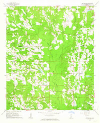
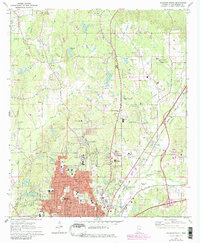
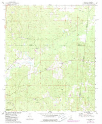
1962 Map of Center Hill
USGS Topo · Published 1963This historical map portrays the area of Center Hill in 1962, primarily covering Lauderdale County as well as portions of Kemper County. Featuring a scale of 1:24000, this map provides a highly detailed snapshot of the terrain, roads, buildings, counties, and historical landmarks in the Center Hill region at the time. Published in 1963, it is one of 3 known editions of this map due to revisions or reprints.
Find a feature on this map
39 named features on this map. Tap any name to fly to it.
Don’t see what you’re looking for? This feature index may not catch every label — zoom into the map to look around manually.
Map Details
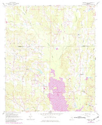
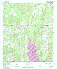
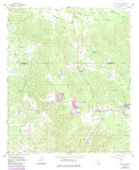
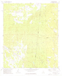
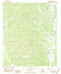
Editions of this 1962 Center Hill Map
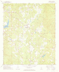
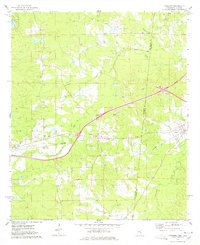
Historical Maps of Lauderdale County Through Time
9 maps found
1962 Center Hill
Lauderdale County, MS
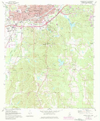
1962 Daleville
Lauderdale County, MS
1971 Meridian North
Lauderdale County, MS
1971 Meridian South
Lauderdale County, MS
1971 Vimville
Lauderdale County, MS
1974 Kewanee
Lauderdale County, MS
1974 Tamola
Lauderdale County, MS
1978 Whynot
Lauderdale County, MS
1982 Meehan
Lauderdale County, MS