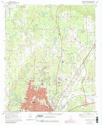
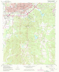
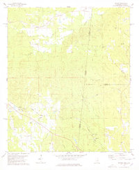
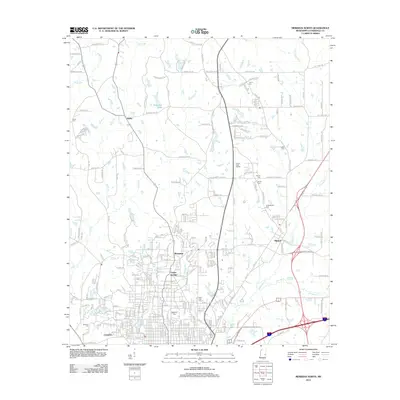
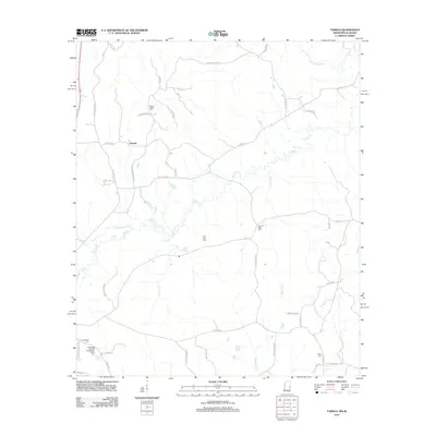
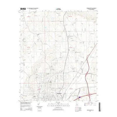
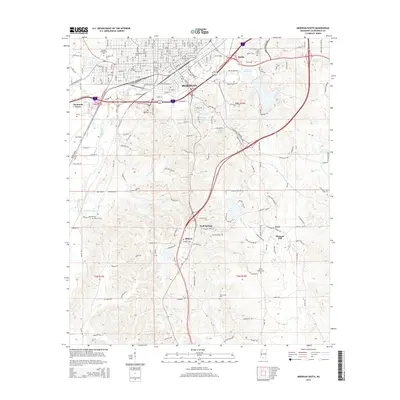
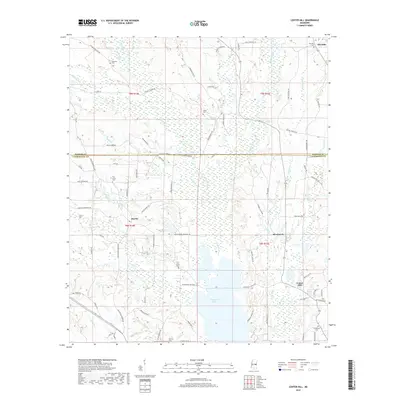
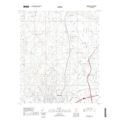
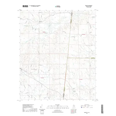
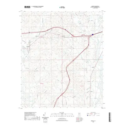
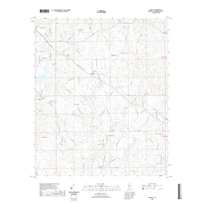
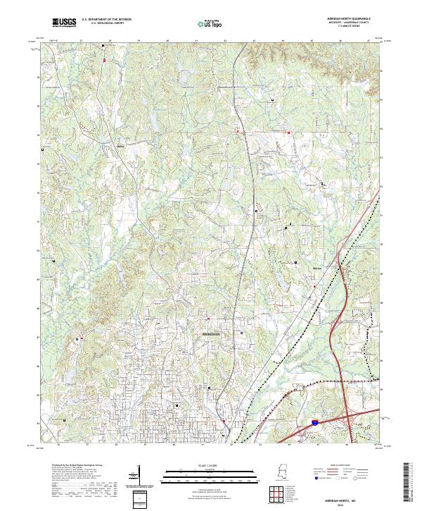
1971 Map of Meridian North
USGS Topo · Published 1982About this map
The growing northern periphery of Meridian dominates this 1970s landscape, where residential expansion meets the rural crossroads of Bailey. The map reveals a transition from the dense urban core near Highland Park to the developing suburbs marked by new schools and infrastructure, including the Northeast Lauderdale High Sch and the State Hospital. A strong religious and memorial landscape is evident through numerous historic sites like Magnolia Cemetery, the Confederate Cem, and the Beth Israel Cem.
Find a feature on this map
55 named features on this map. Tap any name to fly to it.
Don’t see what you’re looking for? This feature index may not catch every label — zoom into the map to look around manually.
Map Details
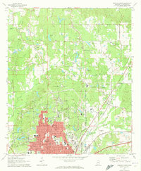
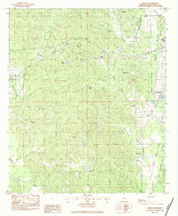
Editions of this 1971 Meridian North Map
2 editions found
Historical Maps of Meridian Through Time
54 maps found
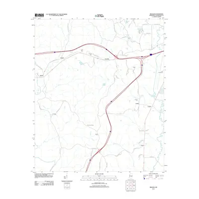
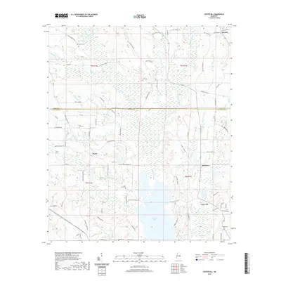
1962 Center Hill
Lauderdale County, MS
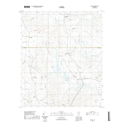
1962 Daleville
Lauderdale County, MS
1971 Meridian North
Lauderdale County, MS
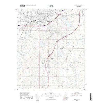
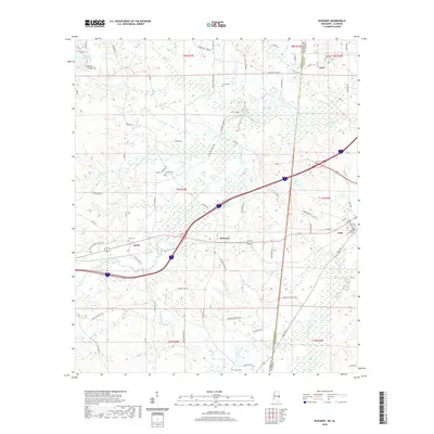
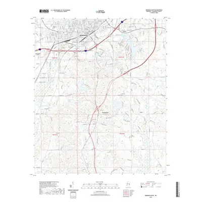
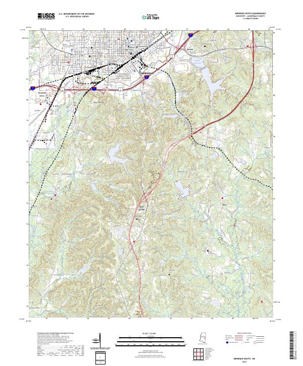
1971 Meridian South
Lauderdale County, MS
1971 Vimville
Lauderdale County, MS
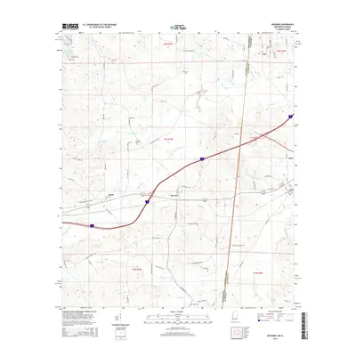
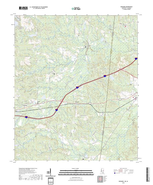
1974 Kewanee
Lauderdale County, MS
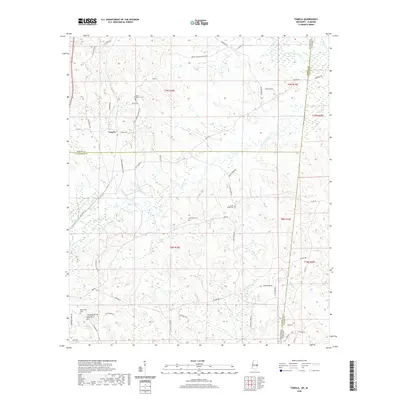
1974 Tamola
Lauderdale County, MS
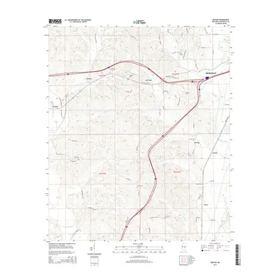
1978 Whynot
Lauderdale County, MS
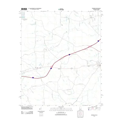
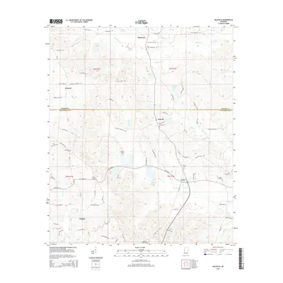
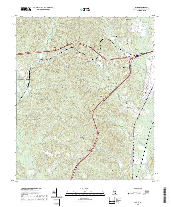
1982 Meehan
Lauderdale County, MS
2012 Center Hill
Lauderdale County, MS
2012 Daleville
Lauderdale County, MS
2012 Kewanee
Lauderdale County, MS
2012 Meehan
Lauderdale County, MS
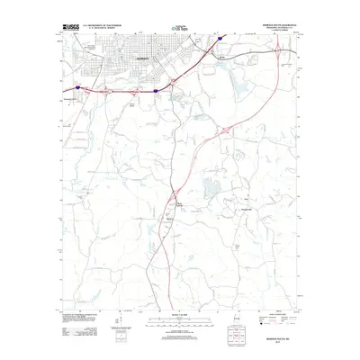
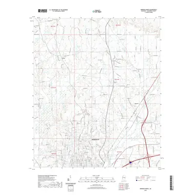
2012 Meridian North
Lauderdale County, MS
2012 Meridian South
Lauderdale County, MS
2012 Tamola
Lauderdale County, MS
2012 Vimville
Lauderdale County, MS
2012 Whynot
Lauderdale County, MS
2015 Center Hill
Lauderdale County, MS
2015 Daleville
Lauderdale County, MS
2015 Kewanee
Lauderdale County, MS
2015 Meehan
Lauderdale County, MS
2015 Meridian North
Lauderdale County, MS
2015 Meridian South
Lauderdale County, MS
2015 Tamola
Lauderdale County, MS
2015 Vimville
Lauderdale County, MS
2015 Whynot
Lauderdale County, MS
2018 Center Hill
Lauderdale County, MS
2018 Daleville
Lauderdale County, MS
2018 Kewanee
Lauderdale County, MS
2018 Meehan
Lauderdale County, MS
2018 Meridian North
Lauderdale County, MS
2018 Meridian South
Lauderdale County, MS
2018 Tamola
Lauderdale County, MS
2018 Vimville
Lauderdale County, MS
2018 Whynot
Lauderdale County, MS
2020 Center Hill
Lauderdale County, MS
2020 Daleville
Lauderdale County, MS
2020 Kewanee
Lauderdale County, MS
2020 Meehan
Lauderdale County, MS
2020 Meridian North
Lauderdale County, MS
2020 Meridian South
Lauderdale County, MS
2020 Tamola
Lauderdale County, MS
2020 Vimville
Lauderdale County, MS
2020 Whynot
Lauderdale County, MS
2024 Center Hill
Lauderdale County, MS
2024 Daleville
Lauderdale County, MS
2024 Kewanee
Lauderdale County, MS
2024 Meehan
Lauderdale County, MS
2024 Meridian North
Lauderdale County, MS
2024 Meridian South
Lauderdale County, MS
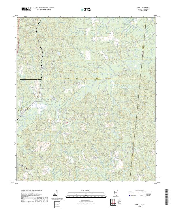
2024 Tamola
Lauderdale County, MS
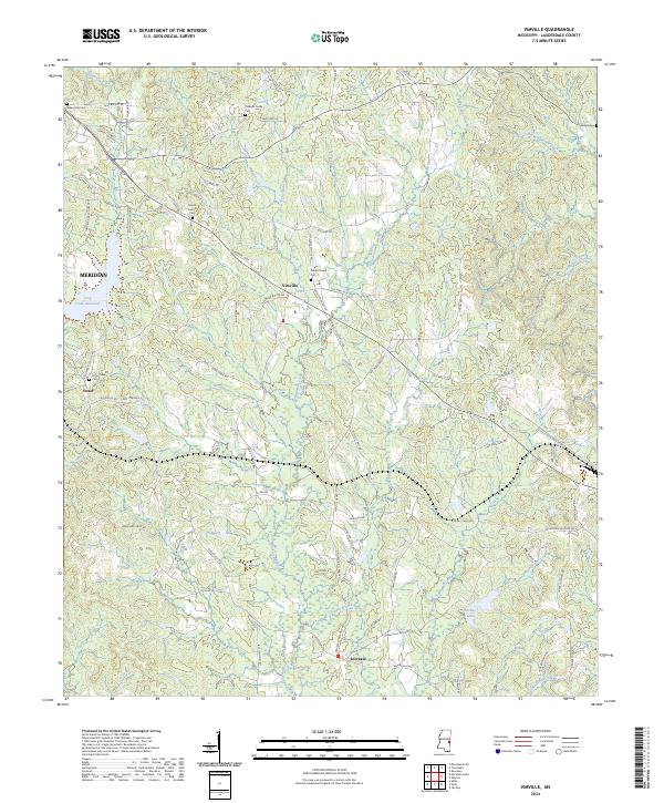
2024 Vimville
Lauderdale County, MS
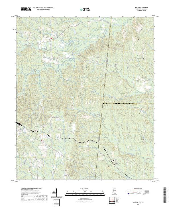
2024 Whynot
Lauderdale County, MS