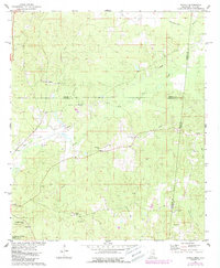
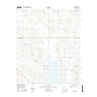
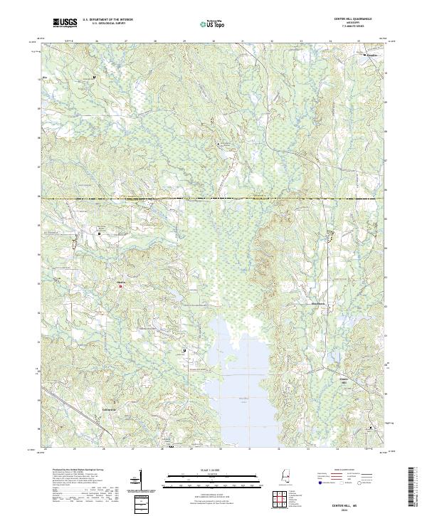
1962 Map of Center Hill
USGS Topo · Published 1982About this map
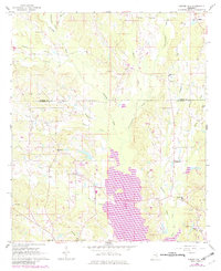
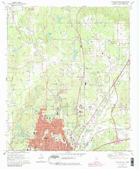
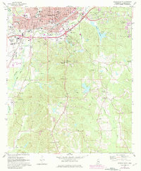
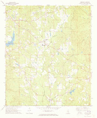
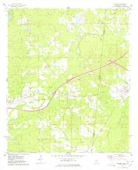
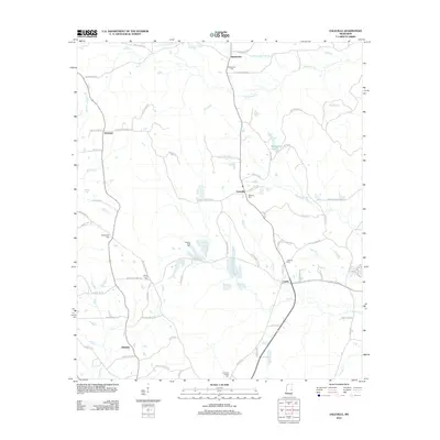
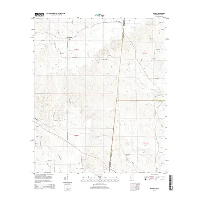
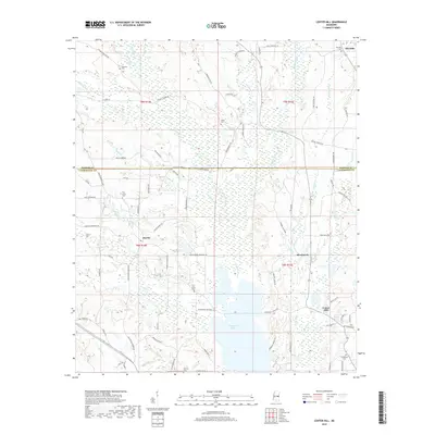
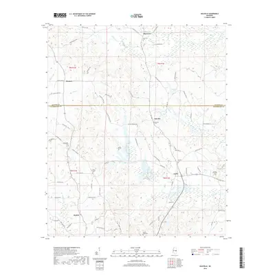
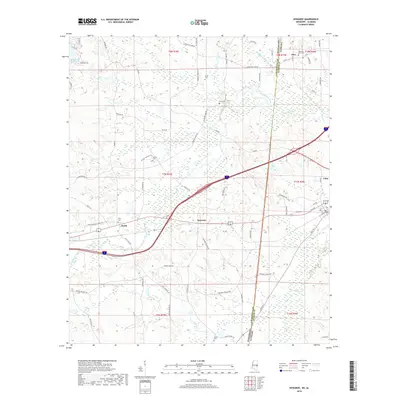
Okatibbee Lake dominates the central landscape of this East Mississippi survey, where the waters of Okatibbee Creek and Chickasawhay Creek converge. This area, spanning the border of Kemper Co and Lauderdale Co, reveals a rural network of small communities and family landmarks. Settlements like Center Hill, Collinsville, and Martin serve as focal points for the surrounding countryside, connected by winding creek systems like Gin Creek and House Creek.
Find a feature on this map
36 named features on this map. Tap any name to fly to it.
Don’t see what you’re looking for? This feature index may not catch every label — zoom into the map to look around manually.
Map Details
Editions of this 1962 Center Hill Map
Historical Maps of Martin Through Time
54 maps found
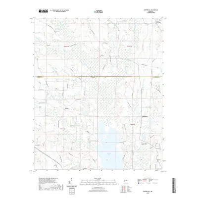
1962 Center Hill
Lauderdale County, MS
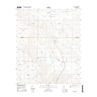
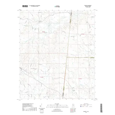
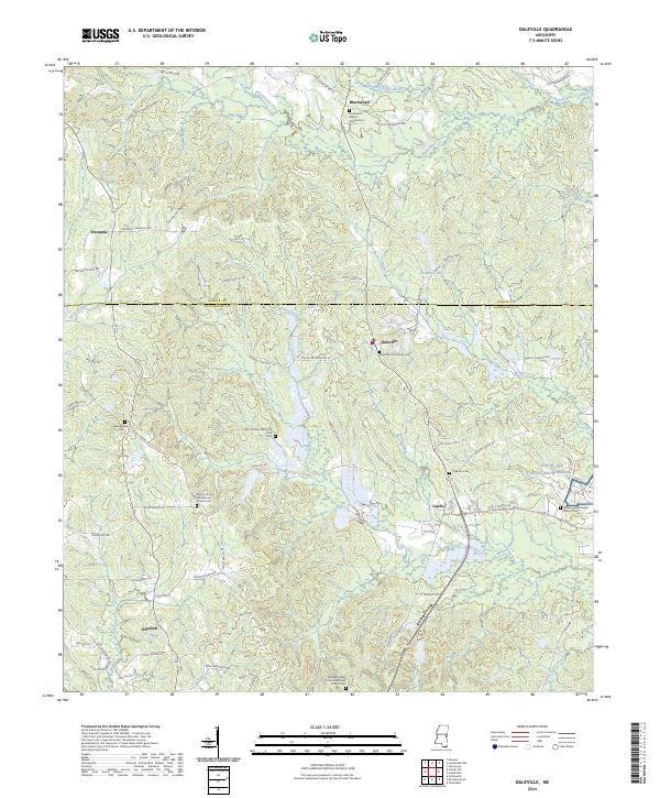
1962 Daleville
Lauderdale County, MS
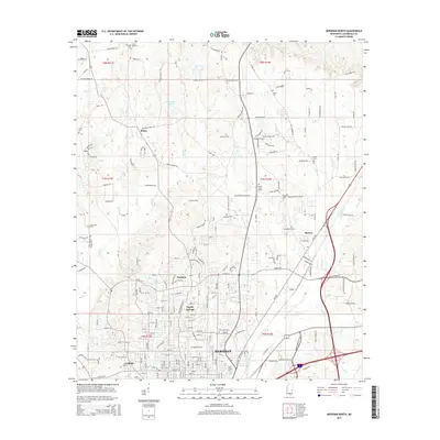
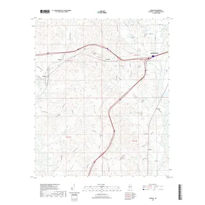
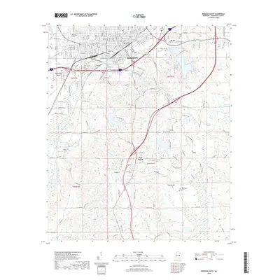
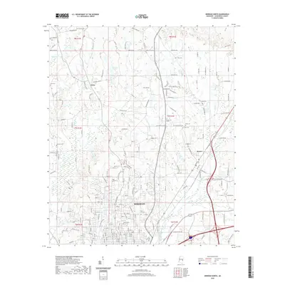
1971 Meridian North
Lauderdale County, MS
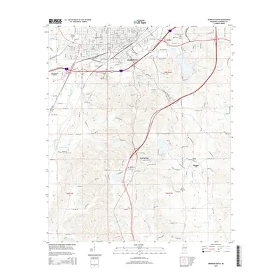
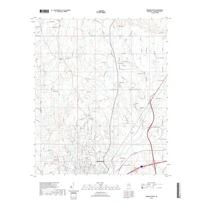
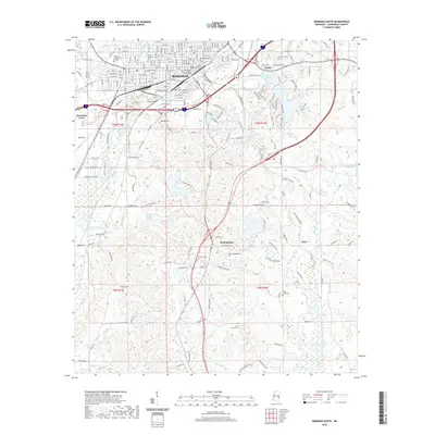
1971 Meridian South
Lauderdale County, MS
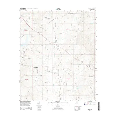
1971 Vimville
Lauderdale County, MS
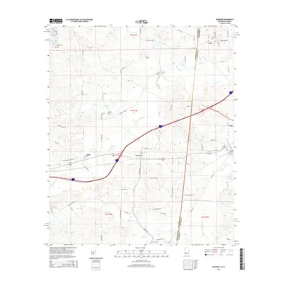
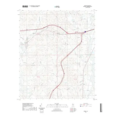
1974 Kewanee
Lauderdale County, MS
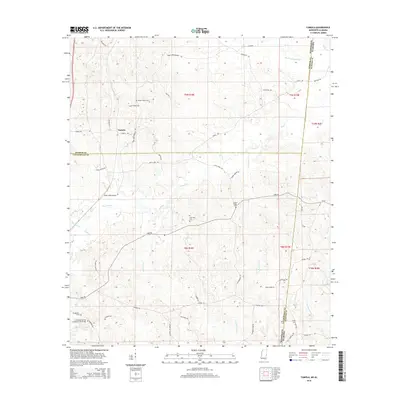
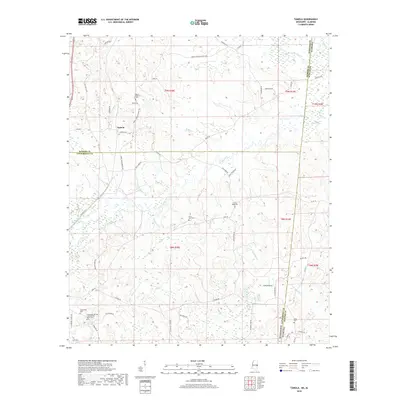
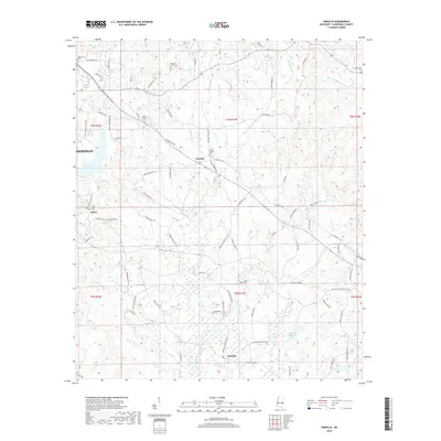
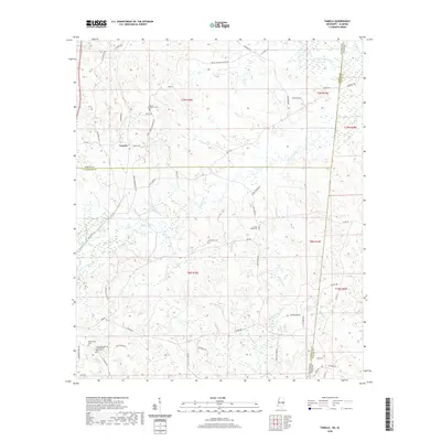
1974 Tamola
Lauderdale County, MS
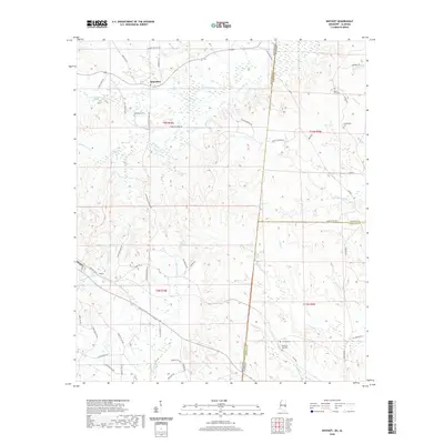
1978 Whynot
Lauderdale County, MS
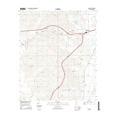
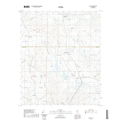
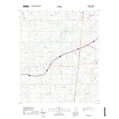
1982 Meehan
Lauderdale County, MS
2012 Center Hill
Lauderdale County, MS
2012 Daleville
Lauderdale County, MS
2012 Kewanee
Lauderdale County, MS
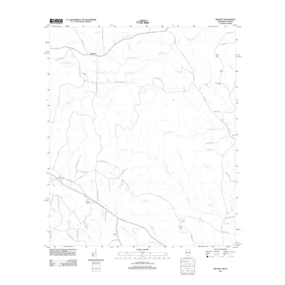
2012 Meehan
Lauderdale County, MS
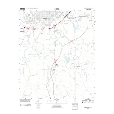
2012 Meridian North
Lauderdale County, MS
2012 Meridian South
Lauderdale County, MS
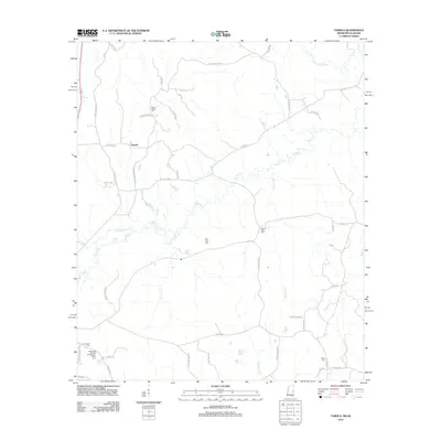
2012 Tamola
Lauderdale County, MS
2012 Vimville
Lauderdale County, MS
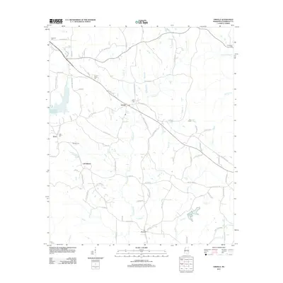
2012 Whynot
Lauderdale County, MS
2015 Center Hill
Lauderdale County, MS
2015 Daleville
Lauderdale County, MS
2015 Kewanee
Lauderdale County, MS
2015 Meehan
Lauderdale County, MS
2015 Meridian North
Lauderdale County, MS
2015 Meridian South
Lauderdale County, MS
2015 Tamola
Lauderdale County, MS
2015 Vimville
Lauderdale County, MS
2015 Whynot
Lauderdale County, MS
2018 Center Hill
Lauderdale County, MS
2018 Daleville
Lauderdale County, MS
2018 Kewanee
Lauderdale County, MS
2018 Meehan
Lauderdale County, MS
2018 Meridian North
Lauderdale County, MS
2018 Meridian South
Lauderdale County, MS
2018 Tamola
Lauderdale County, MS
2018 Vimville
Lauderdale County, MS
2018 Whynot
Lauderdale County, MS
2020 Center Hill
Lauderdale County, MS
2020 Daleville
Lauderdale County, MS
2020 Kewanee
Lauderdale County, MS
2020 Meehan
Lauderdale County, MS
2020 Meridian North
Lauderdale County, MS
2020 Meridian South
Lauderdale County, MS
2020 Tamola
Lauderdale County, MS
2020 Vimville
Lauderdale County, MS
2020 Whynot
Lauderdale County, MS
2024 Center Hill
Lauderdale County, MS
2024 Daleville
Lauderdale County, MS
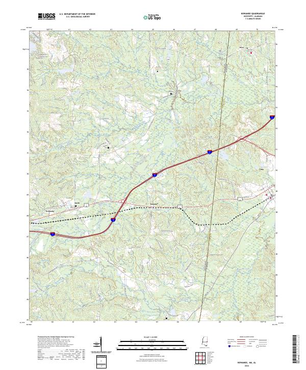
2024 Kewanee
Lauderdale County, MS
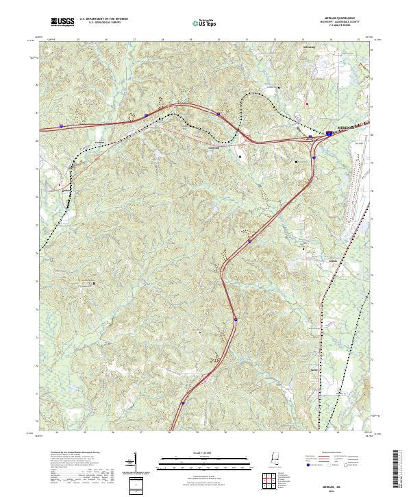
2024 Meehan
Lauderdale County, MS
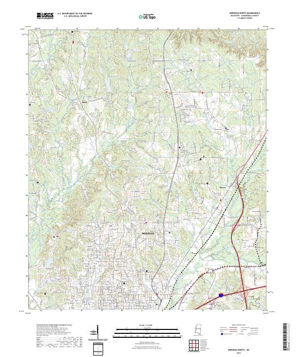
2024 Meridian North
Lauderdale County, MS
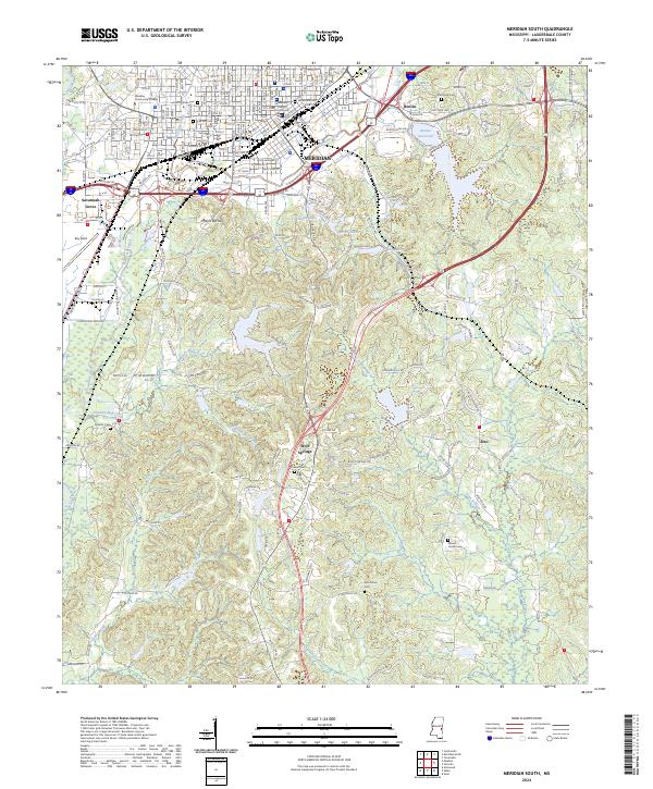
2024 Meridian South
Lauderdale County, MS
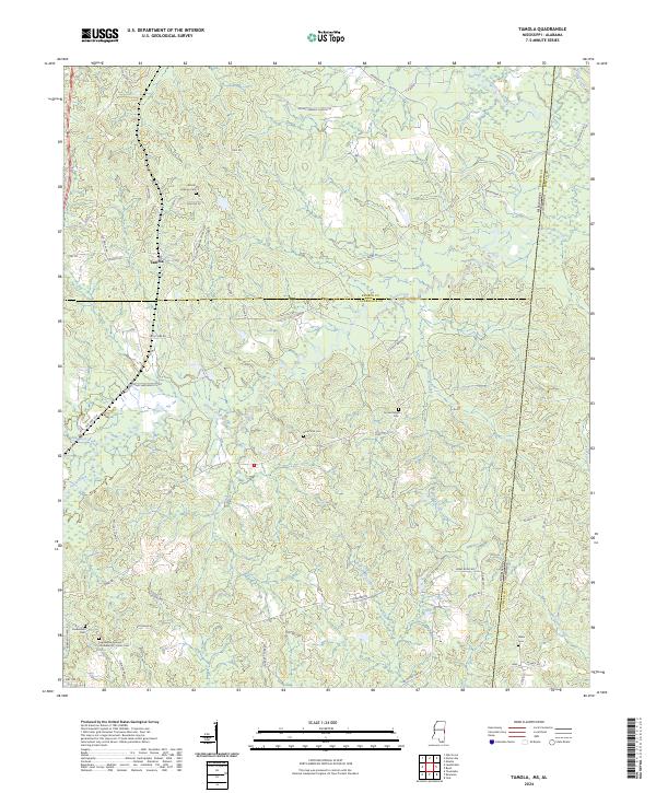
2024 Tamola
Lauderdale County, MS
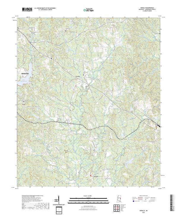
2024 Vimville
Lauderdale County, MS
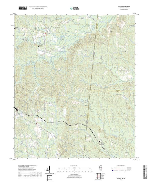
2024 Whynot
Lauderdale County, MS