Old Maps of Monticello, Mississippi for Metal Detecting
Plan your next treasure hunt with 16 historic maps of Monticello. Find old homesites, ghost towns, trails, and gathering spots that may be lost to time — perfect for identifying promising metal detecting locations.
- Locate forgotten sites: Uncover places like long-lost settlements, abandoned rail lines, or gathering spots.
- Plan better hunts: Use map overlays combined with LiDAR or satellite views to narrow in on historically rich areas.
- Made for detectorists: Thousands of hobbyists use these maps to discover relics, coins, and hidden history.
Use these historic maps to boost your research and find new opportunities beneath the surface of Monticello.
Monticello, MS maps
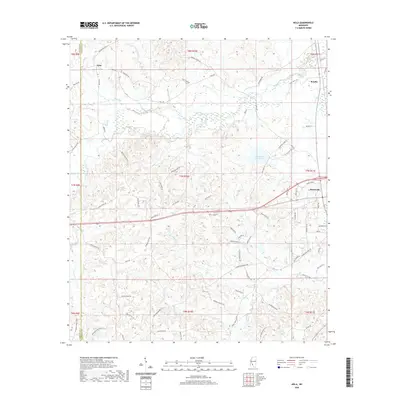
(16)- 1953 Map of Natchez, 1966 Print
 1953 Natchez1966 Print · USGSSouthwest Mississippi and the Louisiana border country come alive in this mid-century survey of the river valley and forest lands. Researchers can trace the rail lines of the Illinois Central RR and locate rural hubs like Gloster and Ferriday.3 unique versions available
 - 1956 Map of Natchez
 1956 Natchez1956 Print · USGSThe Mississippi River borderlands and the Pine Hills come alive in this mid-fifties study of the Natchez region. Genealogists and historians can trace rail-era towns along the Illinois Central RR and explore the oxbows of Lake Bruin and Lake Concordia.
 - 1959 Map of Natchez
 1959 Natchez1959 Print · USGSSouthwestern Mississippi and eastern Louisiana are captured in the late fifties, showing a landscape defined by the winding Mississippi River and the timbered Homochitto National Forest. Researchers can trace the sprawling Illinois Central RR and find rural landmarks like Union Church and Camp Van Dorn (Abandoned).
 - 1970 Map of Monticello, 1972 Print
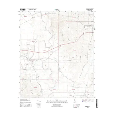
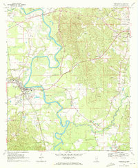 1970 Monticello1972 Print · USGSMonticello and the surrounding Lawrence County countryside thrive along the Pearl River in the late sixties. Researchers can trace the rail lines of the Gulf Mobile and Ohio or locate family landmarks like Armstrong Cem and Canaan Ch.
 - 1970 Map of Nola, 1972 Print
 1970 Nola1972 Print · USGSLawrence County and the outskirts of Monticello are captured here in the early seventies, showing a landscape of timbered hills and winding creek bottoms. Genealogists can trace rural communities around Mt Pleasant Ch, New Zion Ch, and Rosella along the Gulf Mobile and Ohio tracks.
 - 1984 Map of Brookhaven
 1984 Brookhaven1984 Print · USGSSouth-central Mississippi's rural character and rail-centered commerce are shown here in the mid-eighties, from the Homochitto woods to the Pearl River. Trace local roots through Union Church, Meadows Store, and the campus of Copiah-Lincoln Jr College.2 unique versions available
 - 2012 Map of Nola, 2012 Print
 2012 Nola2012 Print · USGSCovers Monticello, including Rosella, Nola, and other nearby areas
 - 2012 Map of Monticello, 2012 Print
 2012 Monticello2012 Print · USGSCovers Monticello, including Silver Creek, Arm, and other nearby areas
 - 2015 Map of Nola, 2015 Print
 2015 Nola2015 Print · USGSCovers Monticello, including Rosella, Nola, and other nearby areas
 - 2015 Map of Monticello, 2015 Print
 2015 Monticello2015 Print · USGSCovers Monticello, including Silver Creek, Arm, and other nearby areas
 - 2018 Map of Monticello, 2018 Print
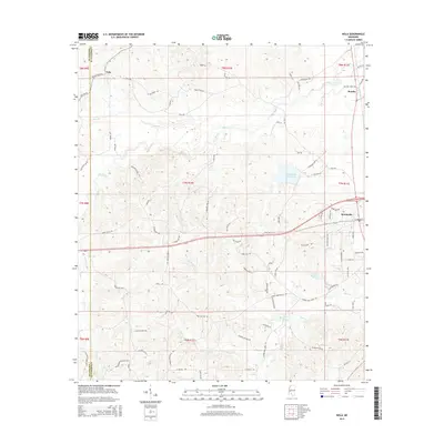
 2018 Monticello2018 Print · USGSCovers Monticello, including Silver Creek, Arm, and other nearby areas
 - 2018 Map of Nola, 2018 Print
 2018 Nola2018 Print · USGSCovers Monticello, including Rosella, Nola, and other nearby areas
 - 2020 Map of Monticello, 2020 Print
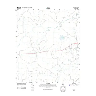
 2020 Monticello2020 Print · USGSCovers Monticello, including Silver Creek, Arm, and other nearby areas
 - 2020 Map of Nola, 2020 Print
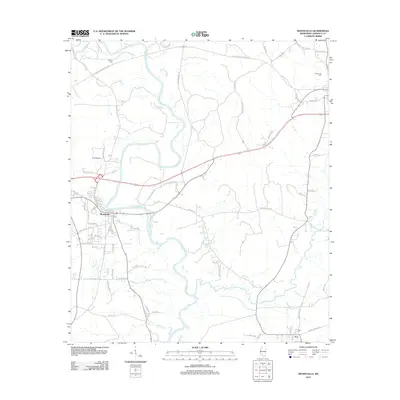
 2020 Nola2020 Print · USGSCovers Monticello, including Rosella, Nola, and other nearby areas
 - 2024 Map of Nola, 2024 Print
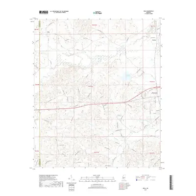
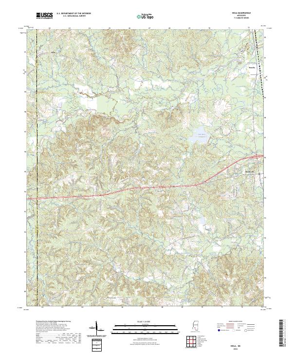 2024 Nola2024 Print · USGSLawrence County settlement patterns and the winding Fair River define this modern Mississippi survey. Researchers can trace local lineage through named landmarks like Joseph Neylans Spring, Lake Mary Crawford, and Monticello.
 - 2024 Map of Monticello, 2024 Print
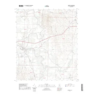
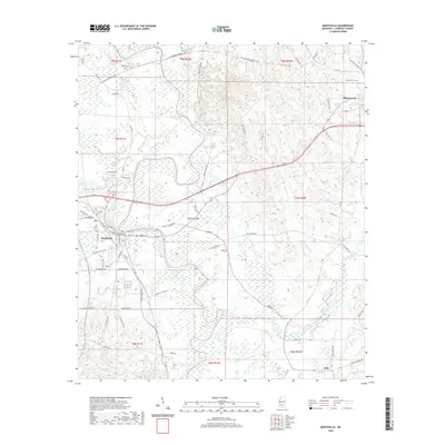
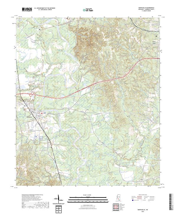 2024 Monticello2024 Print · USGSMonticello and the surrounding Lawrence County countryside are captured here in the early twenty-first century, centered on the winding Pearl River. Genealogists can trace family landmarks and rural routes including Wilson Cem, Armstrong Cem, and Arm Cemetary Rd.
End of results
Showing maps 1-16 of 16
Top cities near Monticello
Frequently asked questions
- What are the different types of historical maps available for Monticello?
- What is the oldest map of Monticello?
- Where can I purchase historical maps of Monticello for my home or office?
- Where can I download high-res historical maps of Monticello?
- Are there historical topographic maps available for Monticello?
- Is there historical aerial imagery available for Monticello?
- Where are historical maps of Monticello sourced from?